| Difficulty | II-III |
| Length | 10.7 mi |
| Avg Gradient | 20 fpm |
| Gauge | Amicalola Creek Near Dawsonville, Ga. |
| Flow Rate as of 44 minutes | 115 cfs |
| Reach Info Last Updated | January 15, 2024 |
River Description
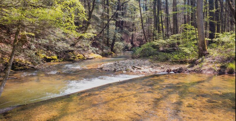
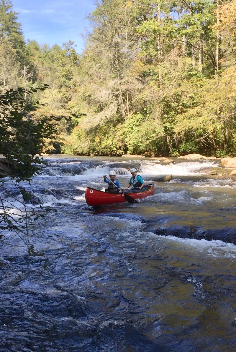
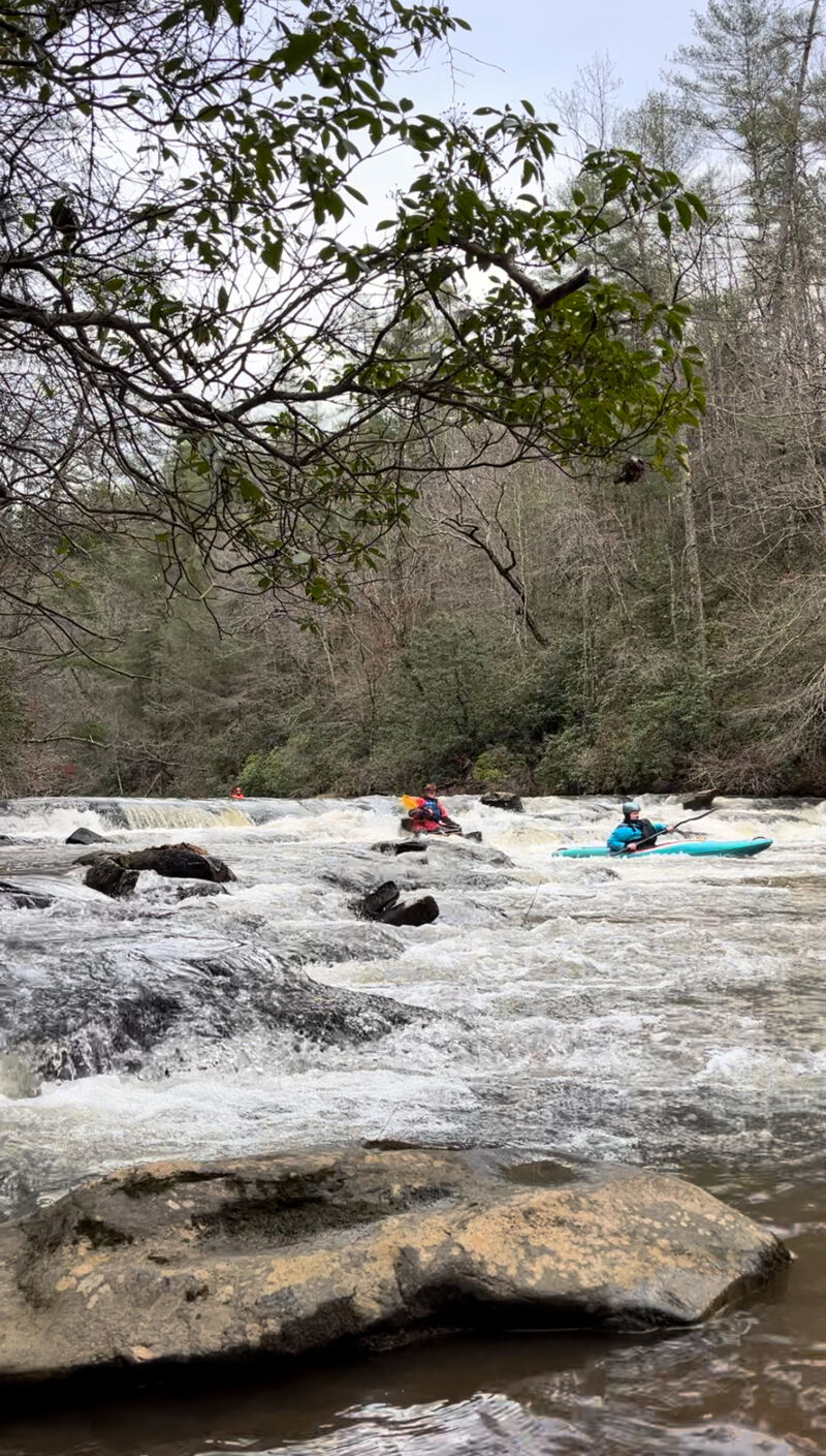
The Upper Amicalola is a II/III+ run with scenery second to none. This section starts only a couple miles down stream from the famous Amicalola falls which is the tallest waterfall east of the Mississippi. It has often been referred to as a mini version of Section 3. The river has been run at levels as low as 0.4 on the GA53 gauge( would highly suggest against this unless using an ex gf/bfs gear) but a realistic minimum for the entire run is 1.1. At this level, all the rapids are runnable with a minimum amount of plastic loss from your boat but it would be a long day if you were to do the whole section. (At lower levels it is better to put in at the second or third putin.) At levels of 1.2-1.5, the river becomes a very good seasoned beginner/intermediate run with enough technical moves, eddy hopping, and surfing to keep things interesting. In my opinion it puts the Cartacay to shame for a begginer/ learning river( At lower levels**).From 1.6-1.9 the river starts to pad out and speed up with new lines opening up. From 1.9-2.5 the river bumps up to a solid III with a significant increase in the pushiness of the drops and the amount of waves and holes on the river. At 2.5-3.5, the river becomes extremely fast and develops some huge river wide holes and standing waves up to about six feet high and becomes akin to paddling in a flood. Above 3.5 feet you realy need a bomb proof roll because if you flip and swim your gear will be gone. Also the abilitly to read water well, avoid features such as but not limited to keeper hydrolics and trees are needed. At the higher levels this becomes an excellent play boat run just make sure to watch for wood and holes.
Wood
At levels above 2.0 feet, this section of the river moves a huge amount of wood ranging from cut firewood to 35 ft. trees. Extreme care should still be taken when boating this section at higher water levels.
Put-ins
There are three put-ins for this section
...River Features
Multiple miles of river upstream need to be better explored
OtherDistance: 0 mi
Goshen Church road and Afton road can be used to get a couple more miles in. Missions even higher up in the watershed are in the works.
Put in for six mile/ camp ground
Access PointDistance: 1.8 mi
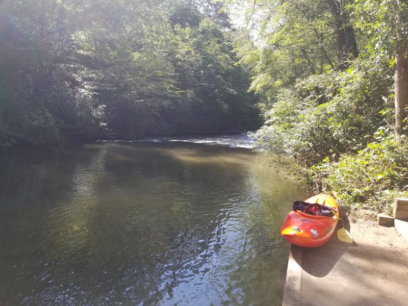
Great put in. Stairs lead directly to the river. This is the second put in down.
First Slide
OtherClass: II-Distance: 3.94 mi
Shoal that can be run multiple routes. Usually start right, working and finishing left.
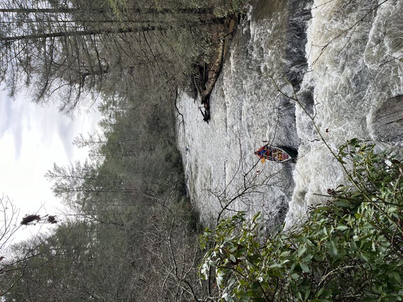
The Ledge
HazardClass: II+Distance: 4.75 mi
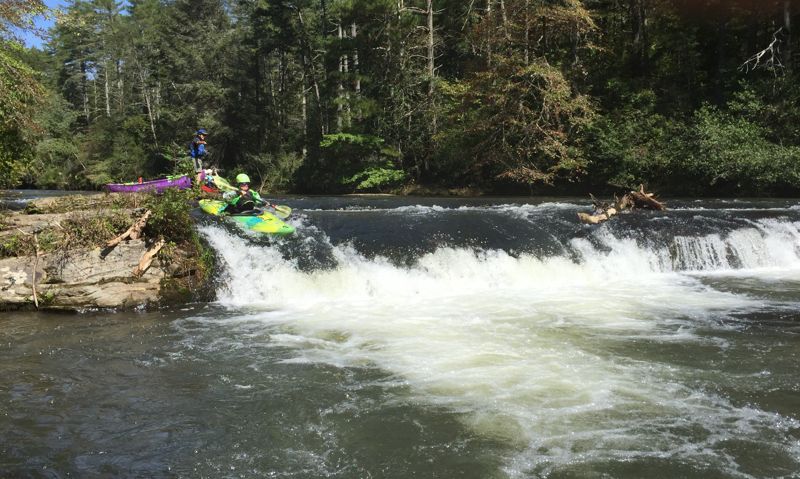
A five foot river wide ledge. Best line is typically right of center. This is a mandatory scout due to the possible presence of wood. Scout from the left bank.
Triple Drop Ledge
OtherClass: IIDistance: 5 mi
Low flow at 1.18, this rapid can be run right to left. Go far right for first drop then turn left for second part or if there is enough water you can stay right.
Third Ledge
OtherClass: IIDistance: 5.5 mi
Can run a left line but watch for rock in run out. Also can run on right ride and bump down. Good campiong on river right below this drop.
The Play Hole
PlayspotClass: II+Distance: 9.5 mi
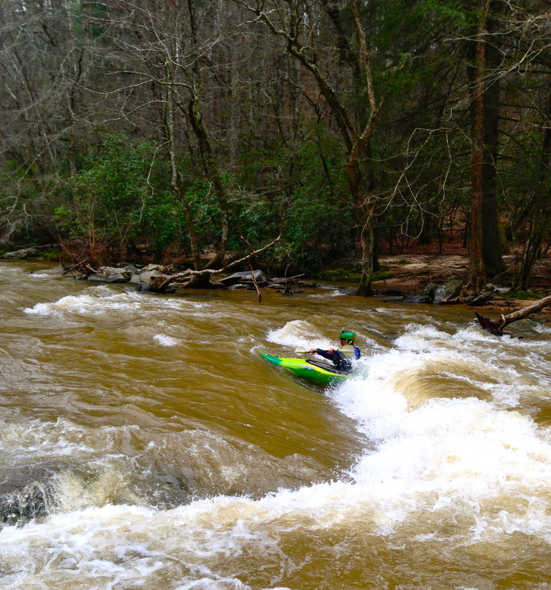
Believe it or not, there is actually park and play in North GA. This hole consists of a II+ wave hole with good eddy access from the river right side. The hole is playable from 0.6-1.5. Above 1.5 the hole moves upstream about 10 ft. and forms more of a wave. If you can get on it, it's a great ride. At this higher level, up to about 3.0, some great standing waves also develop behind this hole. To get to the hole, take the upstream dirt road to the east of the GA53 bridge. Park at the end of the road and walk approximately 100yards up the trail. This is also a great place to sit an watch the local sit-on-top carnage.
Trip Reports
Log in to add a reportSS
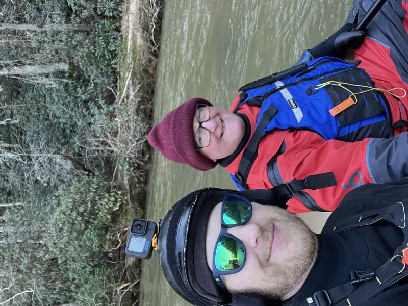
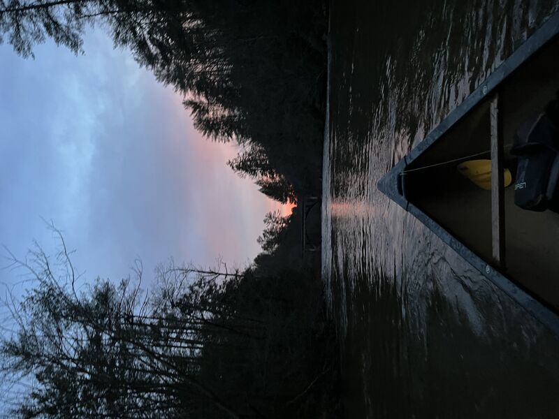
Two Canoes - Seth Scott
Jan 13, 2024
Went down and had a complete clear run. Put in at Lindsey Ford and took out at Hwy 53. There were several dead falls the last trip I had out on this section. This trip happened about a week after a massive flood. River clear.