Amicalola Creek
Lower(Highway 53 to Kelly Bridge/Etowah River)
| Difficulty | III-IV+ |
| Length | 9.4 mi |
| Avg Gradient | 29 fpm |
| Gauge | Amicalola Creek Near Dawsonville, Ga. |
| Flow Rate as of 45 minutes | 0.68 ftbelow recommended |
| Reach Info Last Updated | January 2, 2016 |
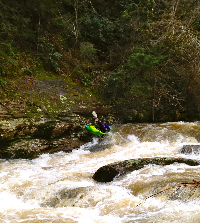
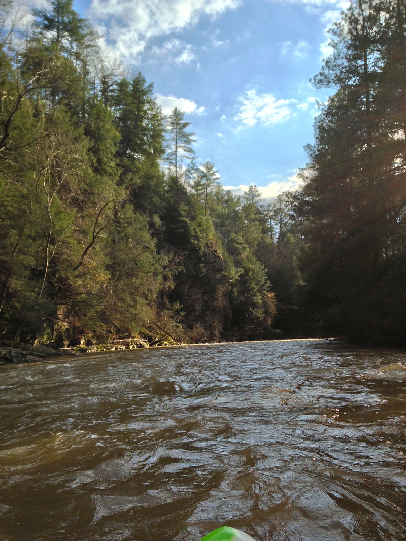
A fun fact, the entire Amicalola river resides in Dawson County. This is a pristine section of river with amazing whitewater at the right water levels. Because most of this strech lies in a wildlife managment area there are no houses along the river. The scenery is top notch with massive rock walls, mini gorges, and beautiful forest. All the major rapids on this run take place in the first 3.75 miles and are interspaced by an assortment of class II-III ledges, slots, and smaller wave trains. Levels 1.1-1.5 is a good beginner level to this section with everything running but nothing too serious. From levels 1.5-1.9 things become much more clean regarding the lines. New slots open up and the EOTW becomes more pushy. From 1.9-2.5 this run takes on a whole new attitude, the rapids start running together and it becomes much more continuous with large waves and sticky holes. At these levels the middle ledge in EOTW starts to be a bit retintive so it is a good idea to scout/portage on the left. From 2.5 to 3.0 it is full on, not recomended unless having bigwater skill,and you are used to kayaking in floods.Knowing the river won't really matter at this point because everything starts to change. Have a good crew and be ready for battle .(When levels are really high the last chance to get out before EOTW is sandbar/ beach looking area on left about 100 yards above beginning of rapids.) Above 3 feet the whole river seems to start feeding into a terminal death ledge hole formed by the middle ledge in EOTW. Also logs tend to stack up in EOTW so anytime there has been a flood you should rescout this rapid. The run is capped off by about six miles of flat water that moves good at flood level, not so good at lower levels(1.6 and down). The gradient of the white water section averages 52 FPM.
Note that the most up-to-date Topo map of the area is 30 years old. A large majority of the roads and trails in the area, including both takout roads, do not appear on
...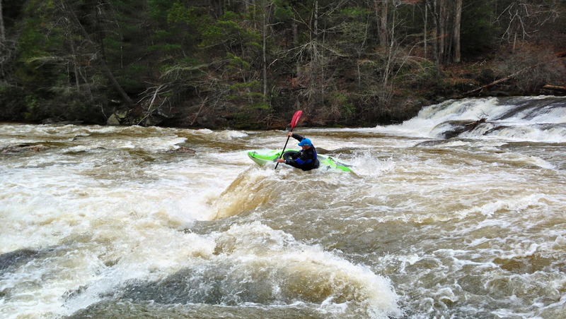
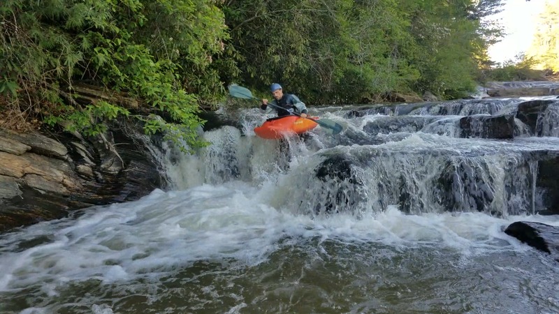
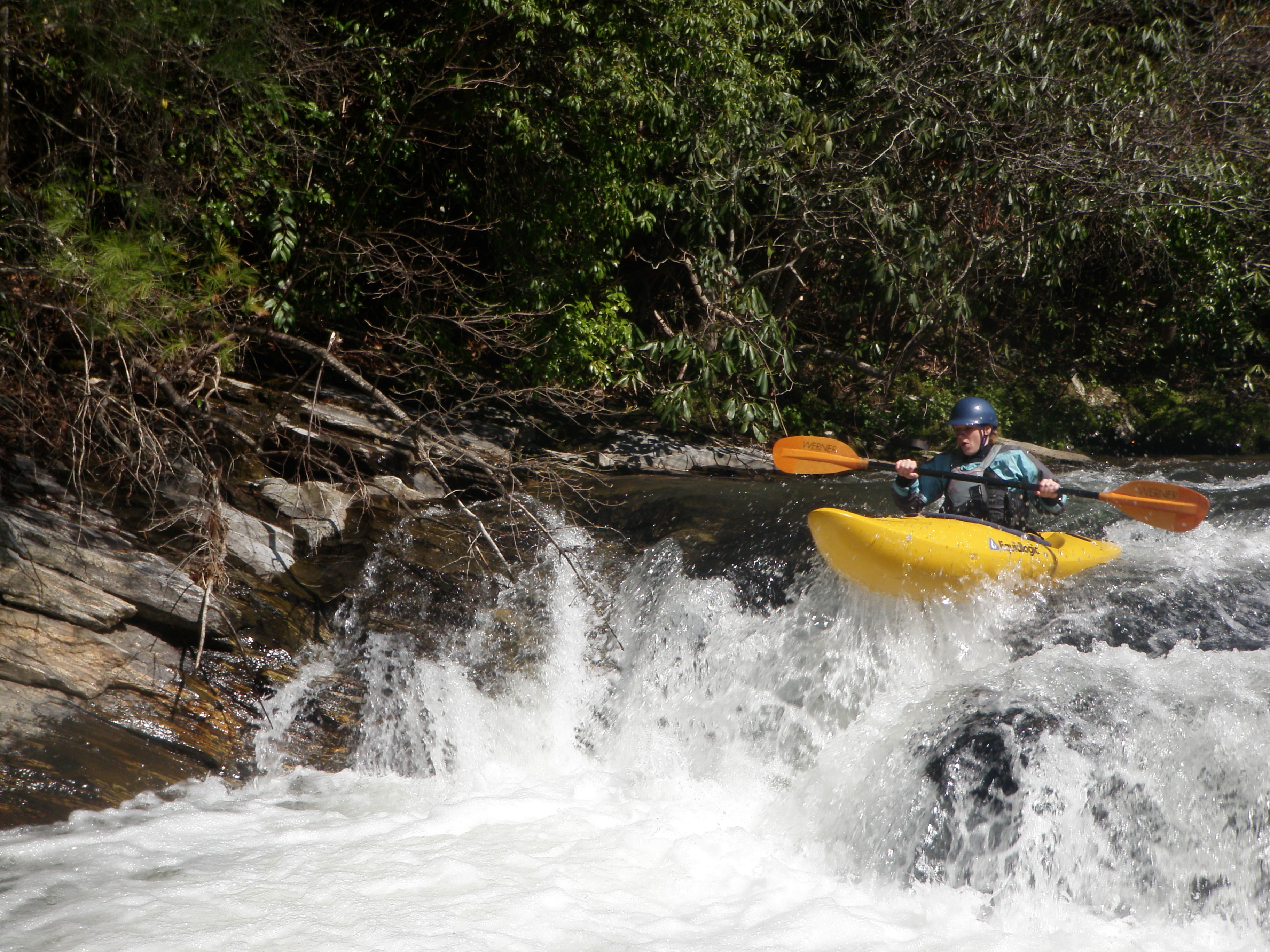
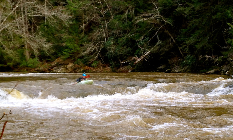
Edge of the World is the largest and most well known rapid on the Lower Amicalola. During summer months, you will typically find the locals camped out on the ledges of the rapid and swimming the lines, reminiscent of Bull Sluice. At levels of 1.1- 1.3 this rapid is a solid III+, dropping approximately 40 feet in the span of 75 yards. At this level, the moves are mostly slots and make a good training rapid for beginners working on their creeking moves. Its a good park and huck also paddling down from bridge and running laps. At levels of 1.4-1.8 +/-, the water becomes much pushier and the level bumps up to a solid IV. At levels over 1.8, the classic lines begin to wash out and new hydraulics develop. If you are accustomed to running this rapid at the classic level of 1.1-1.5, this is a definite re-scout over 1.8. You will recognize the start of this rapid by the well-defined horizon line and large amount of wood present at the top center and right of the rapid. If water level is high get out on sandy beach area 300 yards or so before rapids on left. There is a boardwalk and you can walk down and scout.The rapid consists of two widely spaced ledges followed by a six foot near vertical drop and then a series of slides. Classic line is to run 20ft +/- off the left bank. Hit the first ledge with some left angle to catch the eddy or some right angle to continue down stream. Follow the moving water towards the second ledge and either run it straight or hit the boof, at levels over 1.2, (this ledge is the one that becomes the problem at higher levels). Be aware of the boat gouging line to the left of the boof. After this, run hard to the right bank and hit the vertical slot. Move left and run the final slide . At levels over 1.4 or so, it is possible to run the slide to the left of the vertical slot. Additionally, the river left line below the second ledge is runnable but not advisable due to a large amount of wood and an undercut rock on the left bank. If you catch the level right, a good surf wave develops below the second ledge and before the vertical slot.
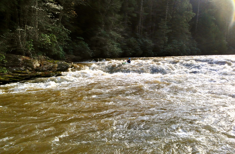
This is the next big rapid after EOTW. You will see a waterfall on your right, then a island. Stay to the right and then run at the wall, it is defined by a pretty large sloping rock face on the river right bank. The line is straightforward. Run hard to the right bank and then move to the left of the downstream rock
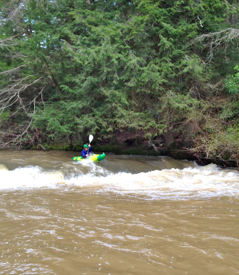
Just some class 2 boogie water, keep a eye out for the beautiful rock cliffs. Class 3 boogie at flows 2.0 feet and up.
You will come around the corner after some boogie water then you will see a slight horizen line. Just T up and paddle hard. I once had a friend swim out of this hole and it took about 20 minutes and 2 miles of river to get all his stuff. When he finally got done with that smim I think I heard him praying.
Split decision is made up of three chutes divided by large boulders in the streambed. The left chute is a tight slide into a pillow that immediately banks right. There are often trees in this line so scouting should take place before you run it. The center line runs down onto a boulder where if you hit it correctly can give you a nice boof. The right line is a slide that banks left at the end. If you are skilled and willing to work a little you can run all three lines without too much diffuculty. At higher levels, this rapid becomes a definite scout due to the possibility of pinned wood in the chutes. Neither bank is great to scout from, but the right bank does give a better view of the line.

More boogie with some great play spots with beautiful rock gorges.
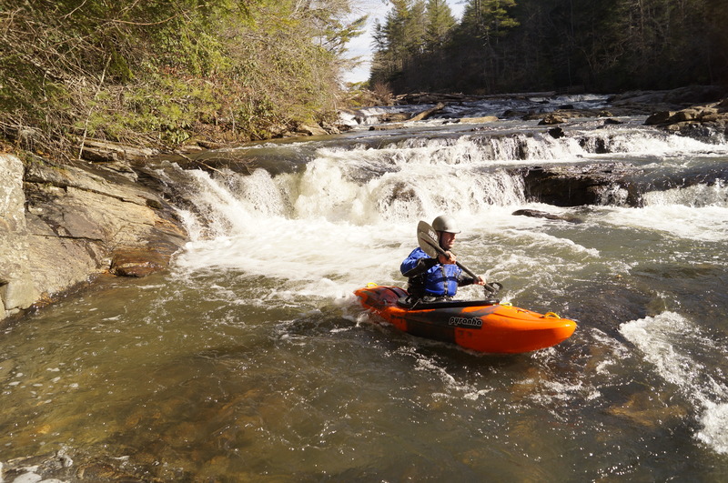
Rooster Tail is nothing more then a huge slide with good lines on the right and left sides when levels are 1.0-1.7+. The rapid gets its IV rating from the presence of a potential keeper hydraulic that develops at higher water levels 2.0+ The rapid is easily scouted from the left bank and the hole is easily avoidable. Right below here on the right there is a great surf wave and a little futher down on the left there is a sandy beach.
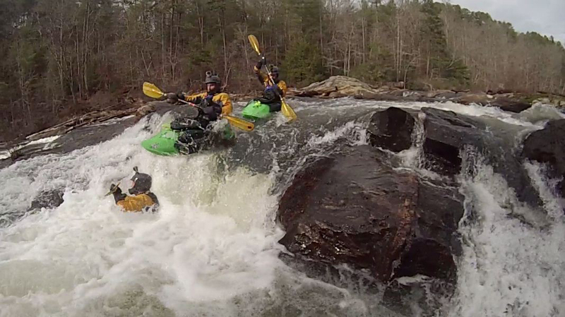
This is the last significant rapid of the run. You have door 1, door 2, and door 3.... Well really you can run combinations of each line. The rapid consits of a upper part which has three lines and a lower part which has three lines. Mix and match all you want for the same price. The right line is more creeky and channalized and the left line is a little more beefy. At flows over 2.2 its hard to distinguish any lines.
After lets make a deal, there is another mile or so of class two boogie before the gradient is taken out back and shot.
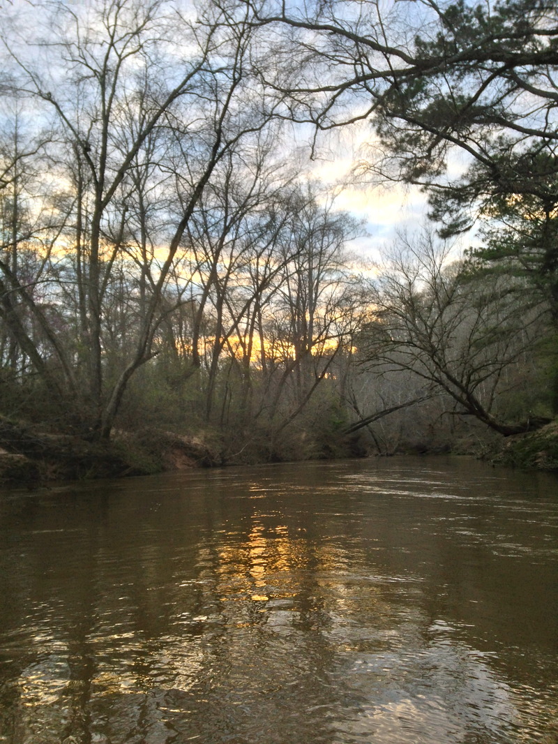
To cap off this run you will need to paddle yourself out on about 6 miles of flat water. At levels above 1.7 the run out is moving pretty fast, below this it is not running very fast. At any level it is very beautiful .
Apr 9, 2014
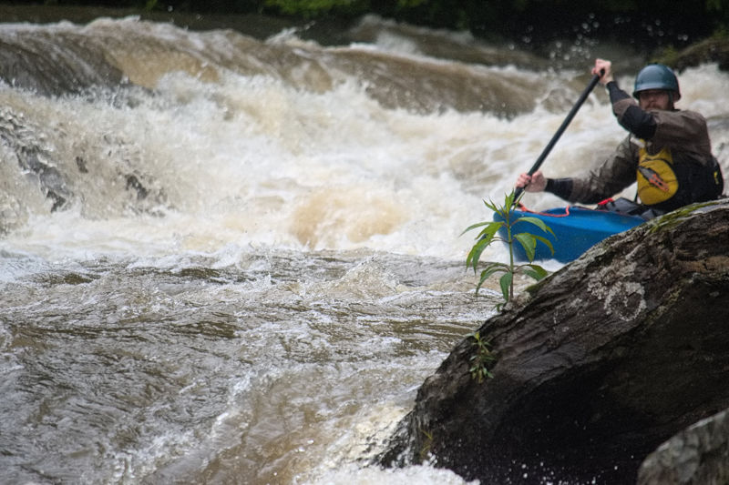
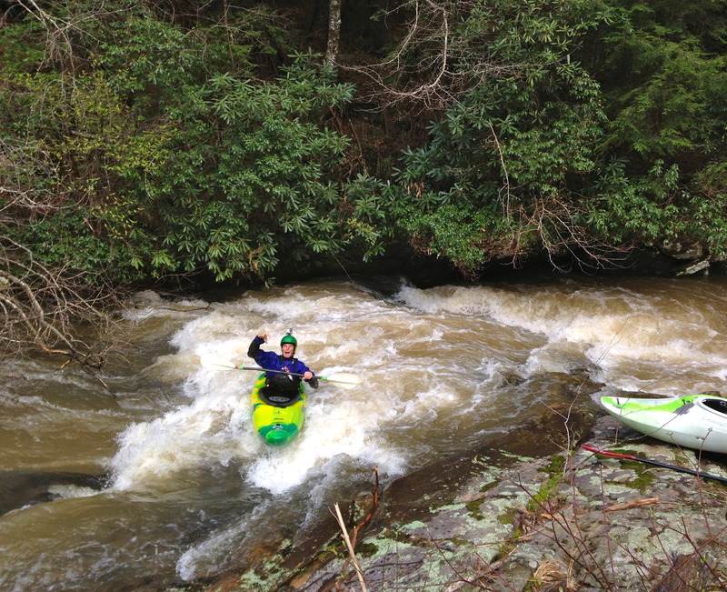
Rick running off the wall with style
Aug 13, 2013
Ran on 8-12 at 1.2'. No portages. Few trees down after the whitewater section but all fairly easily avoidable. There was only one river wide and there was a path clear on far RR. You can see it in this video: https://www.youtube.com/watch?v=uoqFErqEQPQ