Amicalola Creek
Lower(Highway 53 to Kelly Bridge/Etowah River)
Aug 13, 2013
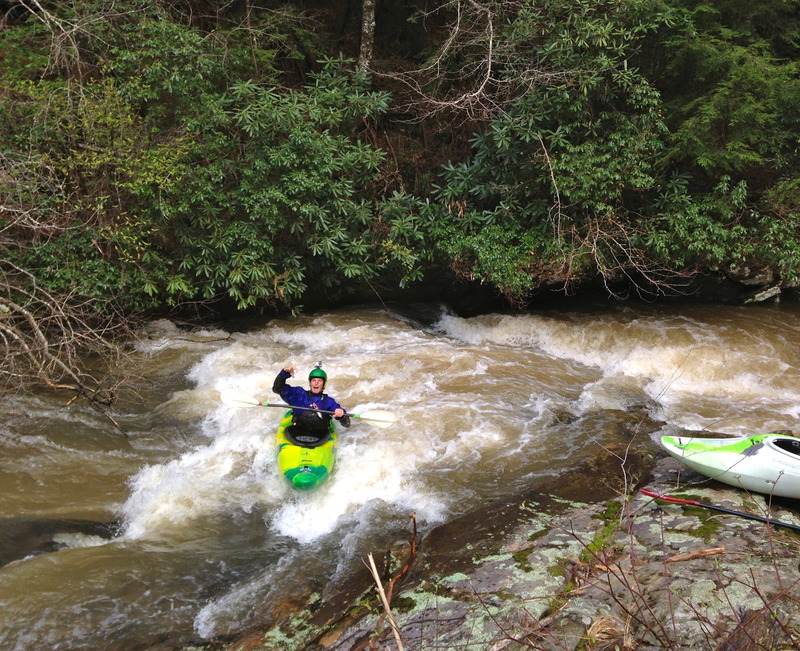
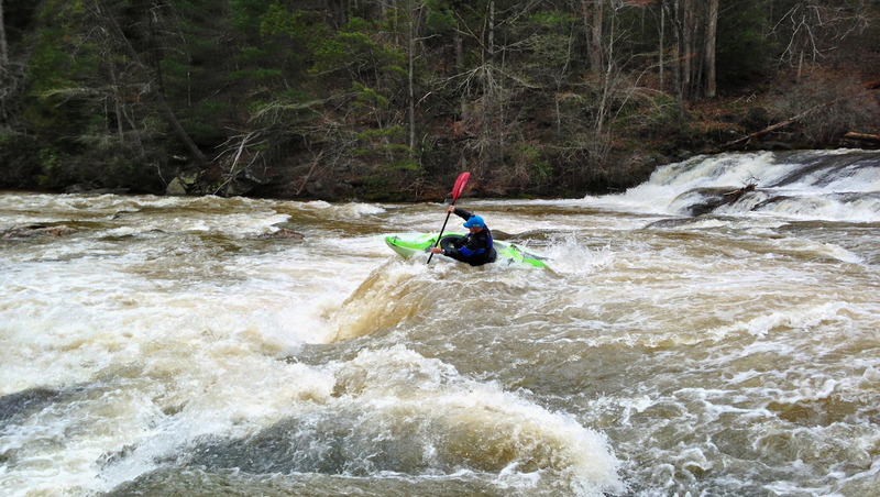
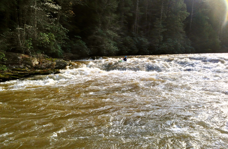
Ran on 8-12 at 1.2'. No portages. Few trees down after the whitewater section but all fairly easily avoidable. There was only one river wide and there was a path clear on far RR. You can see it in this video: https://www.youtube.com/watch?v=uoqFErqEQPQ
May 21, 2013
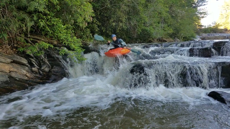
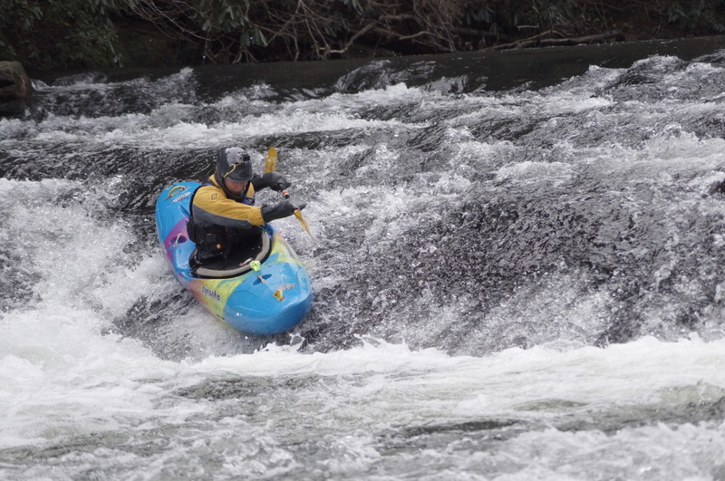
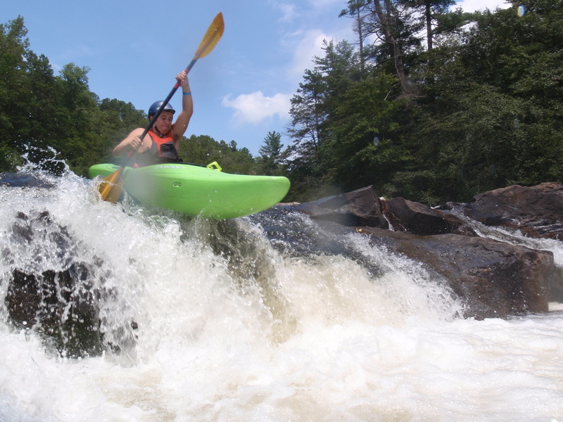
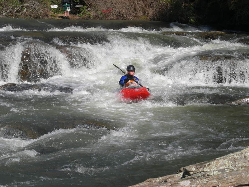
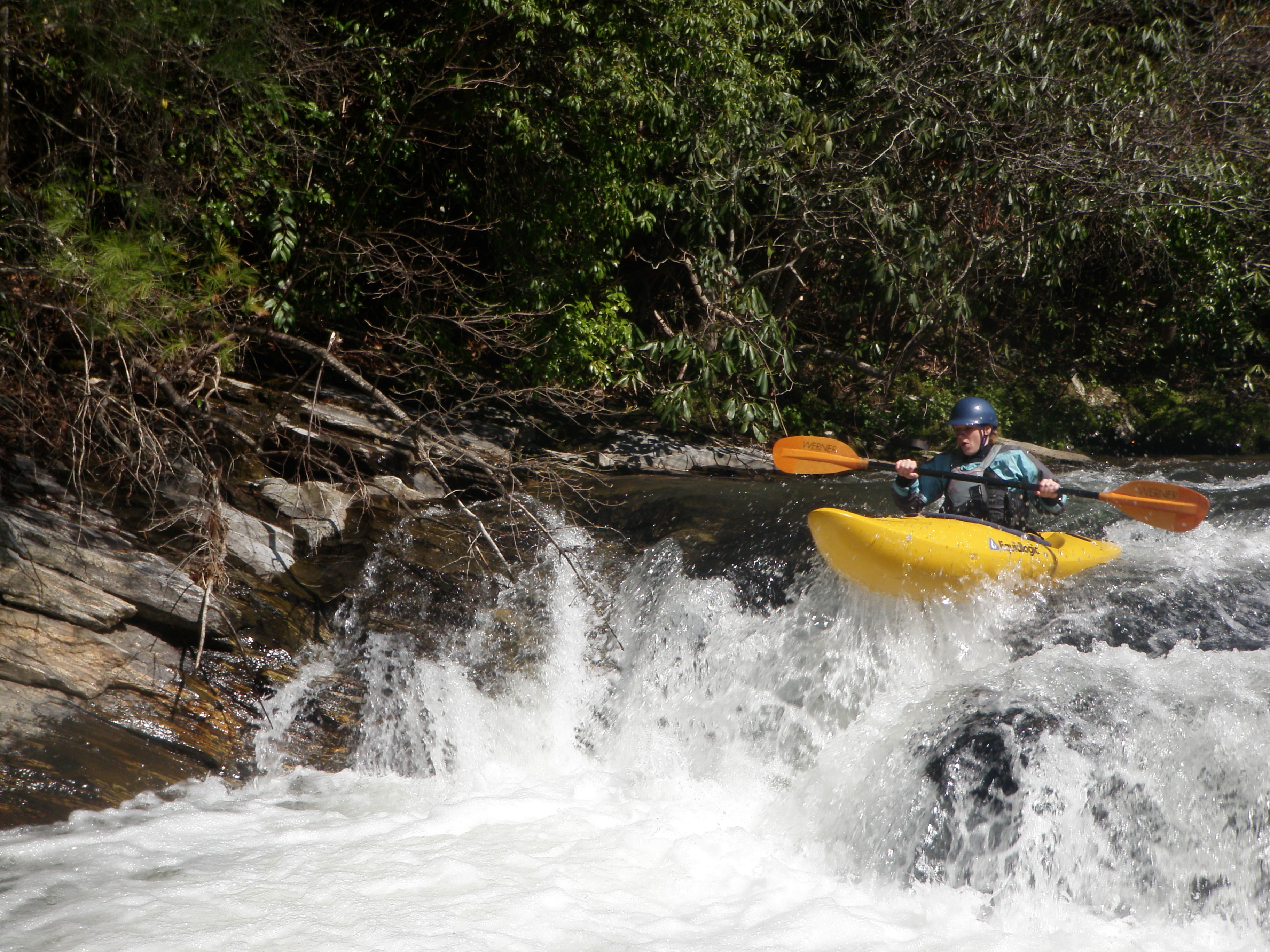
Myself running a tight line with a boof off the rock missing the rock pile at the bottom. The level was 1.12' sometime in March
Feb 6, 2013
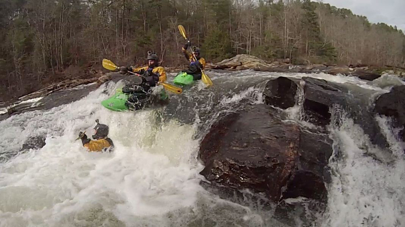
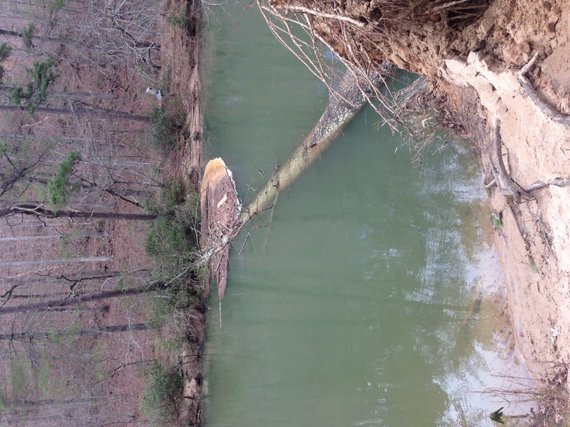
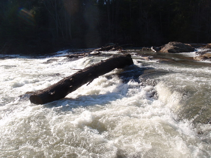
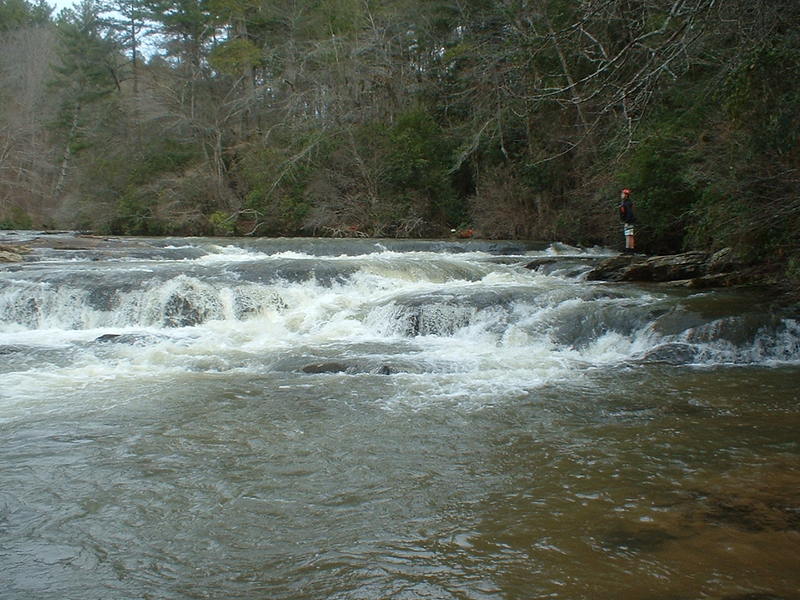
River wide strainer 200 yards upstream of Edge Of The World. Level in pic is around 1.2 on HWY 53 gauge.
May 23, 2012
The upper parking lot is being renovated with a big retention wall. No one was actually working there when we arrived, but access is limited. It didn't seem like it would take much longer to finish it. Also, I'm suspect of the gauge. The week prior showed a steady downward level, however, lots of thunderstorms in the area. When we arrived everything was moist, and after we took out, there was a heavy rain for 45 min that never registered on the gauge. 0.83 on the gauge was pretty good for Steele Bridge to 53. Beautiful, short piece - no problems.
Jan 1, 2011
Someone has cut the big log at Edge into 4-5' lengths. 3 pieces still in various places in the upper drop.
Aug 24, 2010
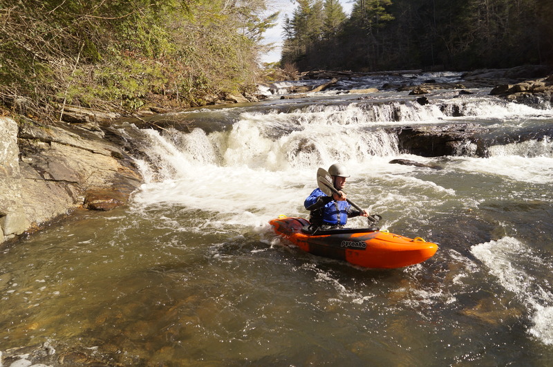
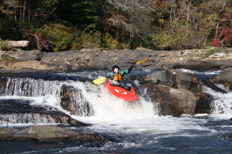
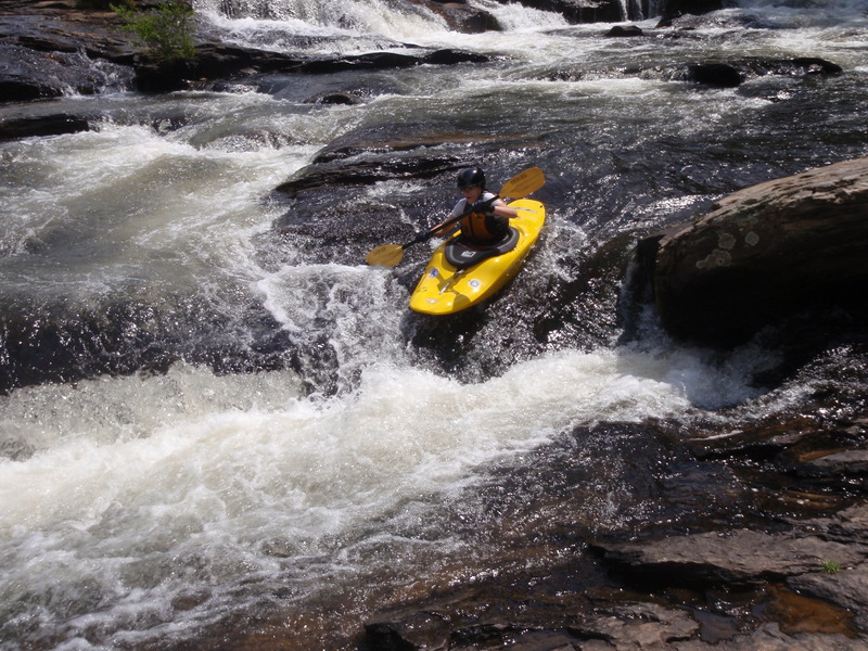
Christopher Coldiron going off a waterfall at The Edge Of The Word at low level.
Oct 9, 2009
Ben Whittle and I just ran from 53 down on October 8, and there was no wood in any of the channels we ran @ 0.98. There is a lot of wood in the flats which is high over head from the floods that will probably come down soon. One log, well I guess it's really more of a tree, spanned the whole river and was 12-15 feet above our heads!
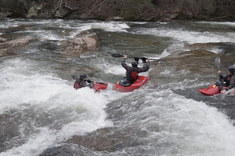
At Split Rock we can the center and right channels and Ben ran the left as well. He said there's plenty of room. Though he also says that it's not Southern Creekin' unless you're duckin' Rodo.
Aug 31, 2009
The tree is still down at the edge of the world, however we broke a few of the dead limbs off so it is somewhat passable now if you duck as you go under (at low level, at higher level still not passable; we ran it at .5ft this past weekend). There are several trees still down as the run continues downstream. With higher water levels the trees that are down could be a hazzard.
Mar 3, 2007
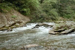
river left, first ledges, impossible to fit all in one picture
panorama of edge of the world, level 2.5
the playhole upstream of the put-in and edge of the world
Aug 1, 2006
The pullout at the confluence with the Etowah river is open for now. It keeps you from having to go all the way to Kelly Bridge takeout. The road down can be a little rough so you need to take your time. The road is part of the Dawson Forest road system (Mill Road).
Jul 22, 2006
Beware of the hole in Rooster Tail at levels above 1.4, maybe lower(the old hwy. 53 bridge guage). The tail washes out and leaves a tongue that leads to a nasty hole. They aren't kidding when they say it's a keeper. I ran it a few years back at around 1.8, after summer rains; it grabbed me hard and wouldn't let go. Finally, I bailed, swam for my life and had to hike out with nothing but my shorts. My boat(Pirouette S) was still upside down, bouncing around, in the hole when I looked back from the mountain top. The next day(level around 1.4) we went back to look for the boat and there it was, still hard stuck in the hole, just like it was left the day before. It took considerable effort and back-woods ingenuity to get it out. The wierd thing is that it doesn't even look like much of a hole, but it's just the right size to grab a boat and it's also really rocky underwater. If the river is high enough to make the hole sticky, you probably won't be able to get anywhere close to it on foot, for rescue or boat retrieval. Avoid it!
Jun 25, 2006
Sometime in the past week, the log that blocked the channel between the two large rocks on the Etowah between the Amicalola confluence and the take-out at Kelly Bridge was removed, either by man or nature. The straight center chute is now passable, but stay to the left side of it at lower water levels.
Mar 23, 2006
Three observations where the gaps between the two gauges were 0.32 or 0.33:
Jan 2 12:00 pm
old staff gauge 0.72
new USGS gauge 1.04
Jan 2 6:30 pm
old staff gauge 1.06
new USGS gauge 1.39
March 21 6:45 pm
old staff gauge 0.96
new USGS gauge 1.29
Mar 19, 2006
Saturday, June 24, will be Day 1 of Paddle Georgia 2006, being run this year on the Etowah River. That means about 300 boats, most of them operated by paddlers wil minimal experience, will be on the Etowah downriver of Highway 9, including the 2 miles or so from the confluence of Amicalola Creek and the Etowah to the take-out at Kelly Bridge Road. Paddlers should either use the alternate take-out described above or be prepared for the crowd.
Mar 16, 2006
The Etowah Scenic River Committee is working to have 6.8 miles of the Etowah River and 14.4 miles of Amicalola Creek, mostly within the Dawson Forest Wildlife Management Area, included under Georgia
Jul 5, 2005
Etowah Scenic River Proposal
A grassroots organization, the Etowah Scenic River Committee, has been formed to protect 21 miles of the Etowah and Amicalola Rivers in North Georgia. The group is lobbying to have sections of these river designated State Scenic Rivers, in accordance with the Georgia’s State Scenic River Act. The Etowah Scenic River Proposal includes 14.4 miles of the Amicalola River, from Lindsey Ford to the confluence of the Etowah River. The study will also include 6.8 miles of the Etowah River. Much of these streams flow across the City of Atlanta tract of Dawson Forest. The proposal follows the requirements of the Georgia Scenic Rivers Act, which protects the river corridor and does not allow dams or other obstructions to the free flowing nature of the river.
These two streams are located in Dawson County within a one-hour drive of most of Metropolitan Atlanta. The area surrounding these streams is heavily wooded and there are no cabins or decks on the banks for the entire 21 miles! This is indeed rare in our rapidly developing area just outside the urban sprawl of metro Atlanta. The Etowah is home to 76 species of aquatic life making it one of the richest rivers in aquatic diversity in the southeast according to Candace Stoughton, Etowah River Project Director for the Nature Conservancy. The Amicalola is a popular canoe and kayak run, with several sections ranging in difficulty from Class I-II on the Upper Amicalola to Class III-IV on the Lower Amicalola.
In the early 1970s, the City of Atlanta purchased 10,000 acres in Dawson County with an eye to building a second airport. When the property was deemed too hilly for the project, the area was left undisturbed and eventually came under the management of the DNR’s Wildlife Resources Division and the Georgia Forestry Commission. Public access and recreational facilities were improved and a forest stewardship program was established. The has become a lush haven for hikers, campers, canoeists, hunters and fishermen. But, the City of Atlanta still contends that the land is reserved for a future airport. The Etowah Scenic River Committee came together after an article was published in the Atlanta Journal Constitution in January about renewed interest in a second airport and a high speed rail link along Highway 400 to Hartsfield-Jackson International Airport. Due to the rapid development of North Metro Atlanta and the tremendous increase in land value, this 10,000 acre tract is again being eyed for future development projects. Some local real estate brokers have aggressively opposed the Scenic River proposal because they have a large developer interested in the purchasing the tract. Designation of the Etowah and Amicalola as State Scenic Rivers would offer the rivers some protection even if the Dawson Forest is developed.
Leading the Etowah Scenic River Committee is Bill Hess who retired to Dawson County with 30 years experience with the U.S. Forest Service and was responsible for wild and scenic rivers studies in the southeastern states for the Forest Service. The committee has completed the first step of the process, which is local education and support of the proposal. Accomplishments to date include a informational web site, a town hall meeting of over 200 people, and a petition drive that garnered over 1,500 signatures encouraging the county to take action to protect the rivers. The petition was presented to the Dawson County Commissioners at their April 7, 2005 meeting. The commissioners agreed to endorse the proposal but have not sent it to the governor. The committee has also hosted a canoe trip and hike where local commissioners, Representative Amos Amerson, Atlanta City Council member Felicia Moore, Advisor to the governor Terry Demeo-King, as well as media representatives and others were present to discuss and tour the rivers and the proposal.
A major obstacle to the efforts of the committee is the City of Atlanta. As owners of the tract, the entire Atlanta City Council must approve any proposed action. The Georgia Scenic Rivers Act was passed in 1969, but has rarely been used. Designated waterways must be found to have outstanding scenic and recreational qualities. There are only four rivers that have made the list – The Conasauga and Jacks Rivers in the Cohutta Wilderness in northwest Georgia, a portion of Ebenezer Creek near Savannah and the Chattooga River in northeast Georgia. The Chattooga is also a National Wild and Scenic River.
AW is calling on its members for action to help with this proposal. Here is what you can do to help protect our local treasures:
#1) Call, write, and e-mail Governor Sonny Perdue, Dawson County State Legislature Representatives (Chip Pearson, Amos Amerson, and David Ralston), Mayor Shirley Franklin, and all the Atlanta City Council Members, epically the transportation committee. Tell them how much you value these rivers and you support the proposal of making them State Scenic Rivers.
#2) Help us spread the word. Tell family, friends and others about the proposal. We need strong public support to get this passed.
For additional information, contact information, sample letters, and on-line petitions visit www.EtowahScenicRiver.org.
Many AW members are familiar with these wonderful rivers. The AW Amicalola web page is also full of great information. We request that everyone do their part to help get this proposal passed. For additional information or opportunities to volunteer feel free to call Dan Centofanti at 770-380-1488.