San Joaquin
Friant Dam to Mendota Pool Dam
May 19, 2012
Paddled from Skagg's Bridge to Mendota Pool Park on May 17, 2012 with 1090 cfs release from Friant, in 11 hours, with a number of short stops, lunch, and fighting a head wind for the last few hours. There were two boats; a touring kayak that could have easily done it faster, and a 17' canoe with two paddlers who were pretty maxed out on speed. Flow was 850 at Gravelly Ford and 730 below the bifurcation.
Apr 26, 2012
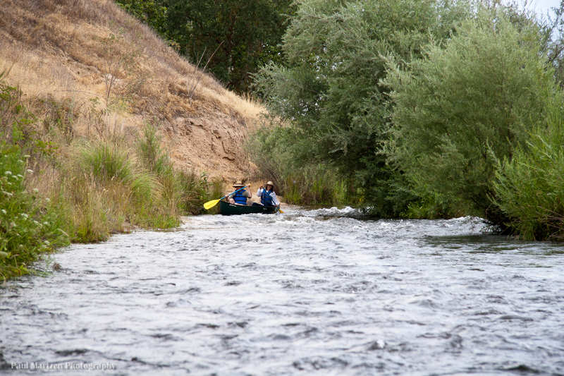
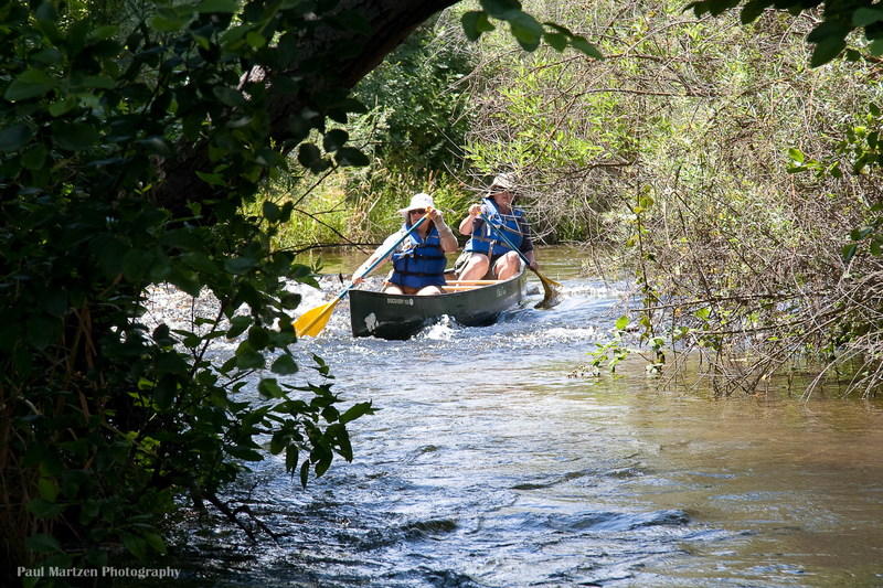
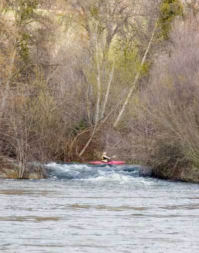
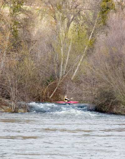
Canoeists have just entered the riffle.
Apr 26, 2012
The remains of an old bridge clutter the river, creating challenges. The chute between the two bridge parts is generally the easiest route, but it is easy to portage on the left or run other routes. If you crash into the obstructions you could wrap a boat. Once past the bridge, continue a bit to the left, then down the main channel to the right.
Apr 26, 2012
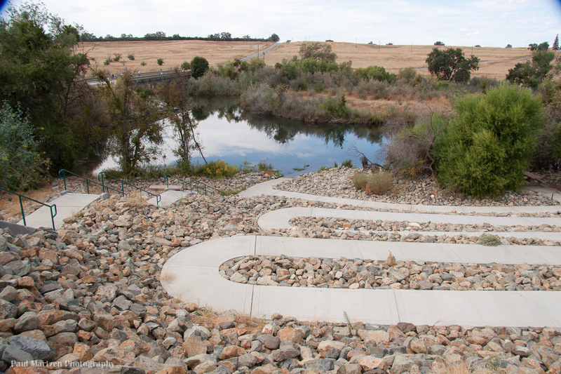
A nice parking area with toilets, sits above this elaborate but awkward river access area.
Apr 26, 2012
Looking upstream at the wide Beaver Riffle.
Apr 26, 2012
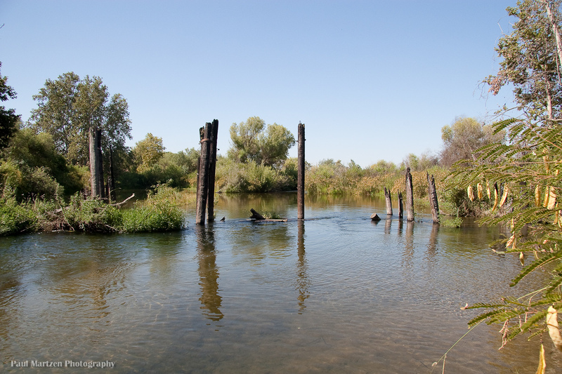
As you exit from underneath the highway 99 bridge, you must negotiate through these posts. They tend to collect logs and branches so be careful.
Apr 26, 2012
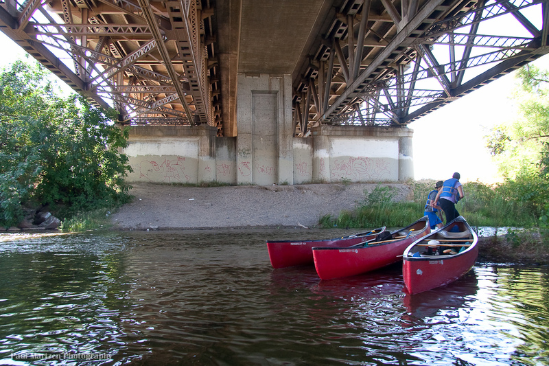
There is a take out under the bridge that allows boaters to scout the way through the old bridge posts just downstream.
Apr 26, 2012
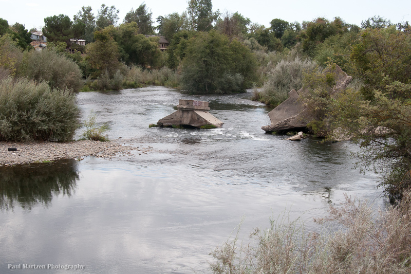
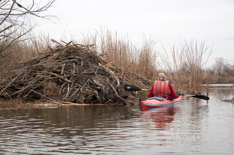
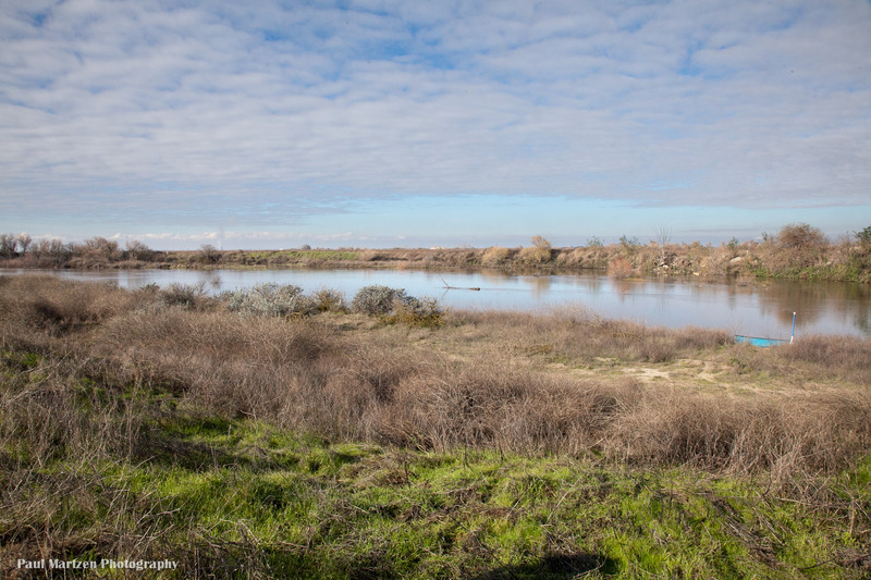
We came across this interesting structure somewhere in the middle of Mendota Pool.
Apr 26, 2012
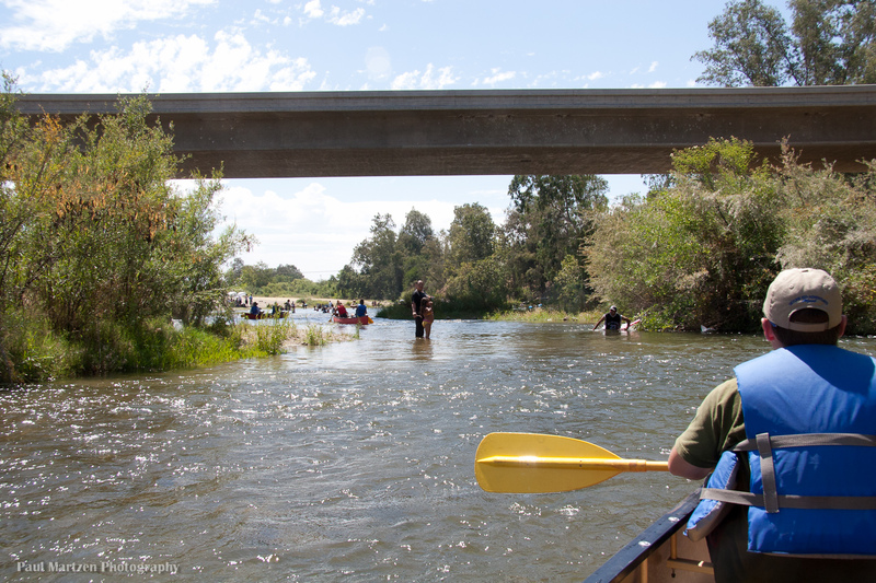
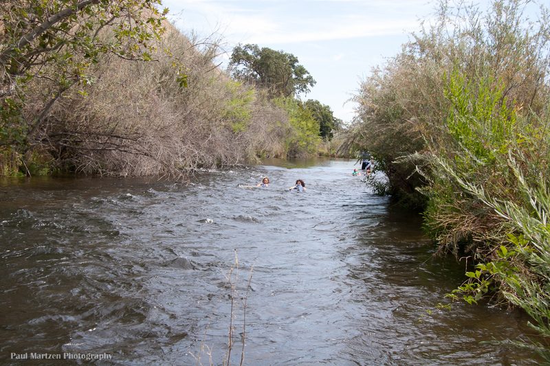
The highway 145 bridge signals the approach to the very popular Skagg's Bridge park. There will usually be lots of people swimming, wading and playing in the river.
Apr 26, 2012
This is the riffle near the end of the right side channel. The riffle is on a sharp turn just past the diversion to Cobb Channel.
Apr 26, 2012
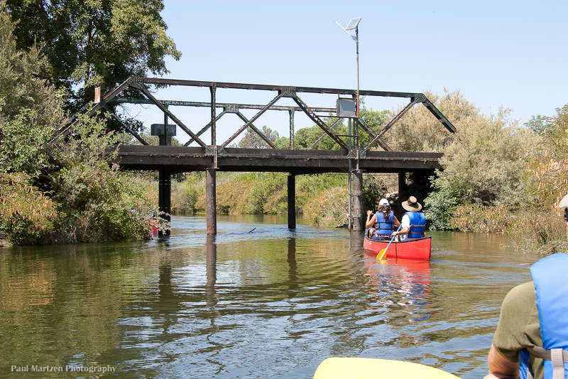
There is a gauging station at this narrow bridge. High flows may require a portage here. There is a big wide pool leading to this bridge.
Apr 26, 2012
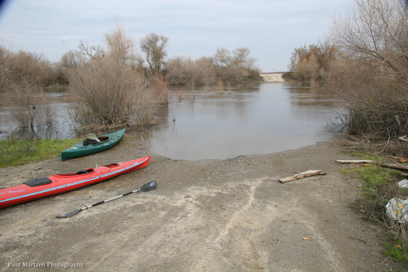
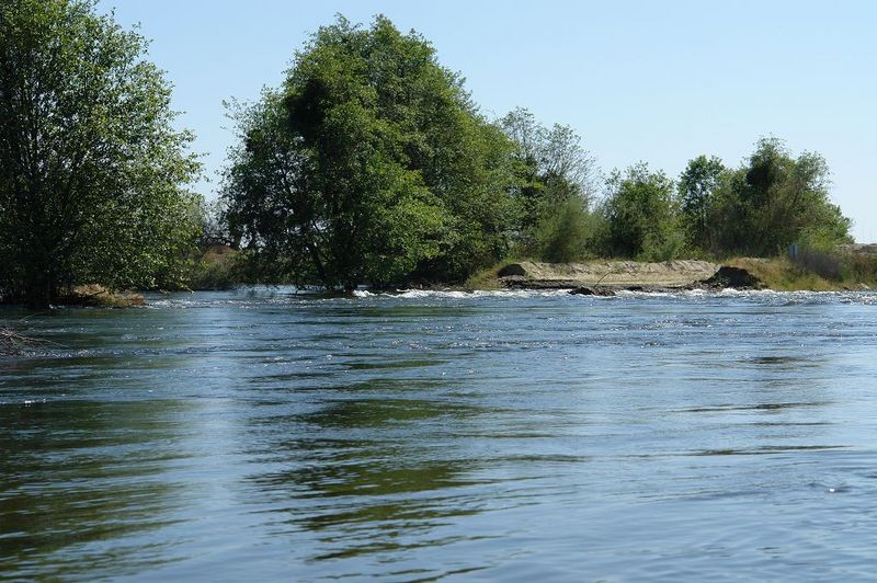
San Mateo Ave. is a good access point for paddling upstream to the bifurcation dams or for paddling downstream to Mendota Pool Dam.
Apr 26, 2012
There is a big eddy above the bridge where boaters can play around before paddling past the bridge.
Apr 26, 2012
This is a fun fairly long riffle to swim. A trail leads through the bushes from the bottom of the riffle to the top. There is a nice gravel beach to take out at the bottom.
Jan 3, 2011
Paddled a canoe 4 miles upstream from San Mateo Ave. to the bifurcation dams. Took 2.5 hours of steady paddling with two stops. Took one hour to paddle with the current back to San Mateo. Many birds, especially early in the morning. Several owls, many hawks, herons, egrets, etc.
May 15, 2006
At high flows the river spreads out over the low lying parts of Lost Lake Park, creating fun areas for paddle practice and teaching. This far away from the main channel, the flow is slow and the depth shallow. Each tree and picnic table forms a nice eddie, allowing boaters to work their way upstream and slalom downstream.
At typical low flows, kayaks, canoes and even small rafts float right through this culvert under a roadway. At 7,600 cfs, the upstream end is completely underwater, while the downstream end pictured here is barely exposed. High flows inevitably wash out most of the roadway, so the river channel is wide open just upstream and to the river right of this photo. Brian had fun getting stern squirts and bow stalls in the outflow from the culvert.
Looking river left at the remains of the causeway/roadway. It always washes out at high flows, creating a wide channel on river right.
There are lots of Herons and Egrets roosting in these trees in the springtime.
There are a number of nice homes along the river, but the two most impressive are about 4 miles downstream from Lost Lake.
Jan 2, 2006
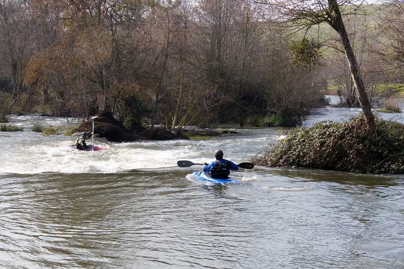
A low rock dam in the middle of Lost Lake Park forms these interesting rapids. This is the river left side of the dam. The middle is overgrown with trees and berry vines. On the far right is a narrow chute that is steep enough to swamp canoes.
Jan 2, 2006
Looking upstream from near the middle of Lost Lake Park. The Rock Dam is just downstream, so this is a common put-in for kayakers who want to play in the small drops there.
Fort Washington Beach is a privately owned river access, fishing and camping park. The owners are very nice folks and their fees are very reasonable. Take Friant Rd. to Rice Road to find this park.
This is a private bridge used by a gravel company to access gravel pits on both sides of the river. At 7,600 cfs there is still about 3 or 4 feet of clearance below the bridge, but you may have to dodge sticks hanging down from all the driftwood lodged underneath.
The river curves sharply right then bends to the left immediately on the other side so the current picks up speed as you pass underneath. A lot of current pushes into trees and log jams on the left as the river bends to the right.
Jan 2, 2006
This is the rock dam at the half way point along Lost Lake Park. This right side chute is runnable down to very low flows and there are nice eddies and eddy lines on either side. One can portage on river right. Canoes often take on some water here.
May 22, 2005
When Friant dam makes large flood releases, the San Joaquin river returns to a semblance of its former self. The river is mostly open as in this picture but there are frequent areas where trees seem to grow all the way across the channel. Paddlers have to look carefully to find the best openings through these trees.
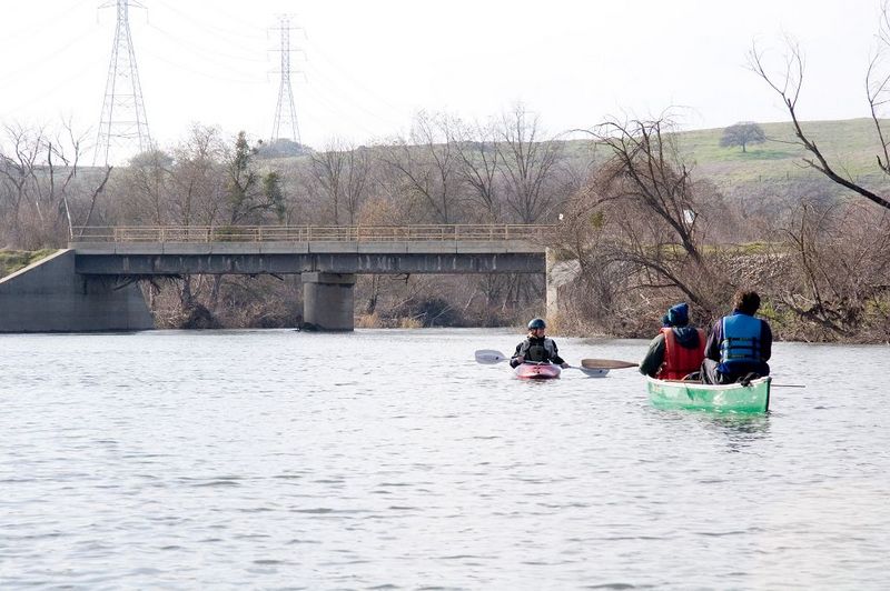
And yes, Tim and Christine should be wearing lifejackets even though it is flatwater. If they had tipped it could have been a long and very cold swim trying to find a safe place to get to shore with all of the trees and brush along the banks.
May 2, 2005
This picture is actually taken 6 or 7 miles downstream of Skaggs bridge, and it is obviously not whitewater, but..... This section of the San Joaquin has been dried up since the construction of Friant dam in the 1940's. Every few years, winter or spring releases from Friant will be big enough to rewater this section and allow boating. Of course when there is enough water to allow good boating the county naturally tries to close off all river access!
The scenery out here was boring, but the birdlife was interesting.
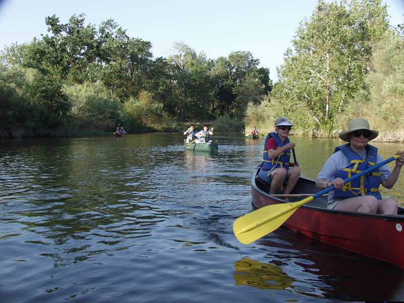
Jun 13, 2003
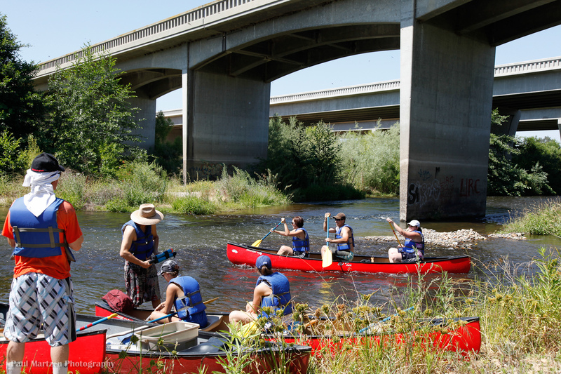
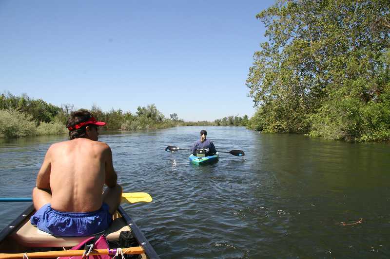
Canoeists on a San Joaquin Parkway float trip upstream of Ft Washington Beach. Contact The Parkway Trust (559)248-8480, if you want to book a canoe trip or want to help out on canoe trips.