Conneaut Creek
State Road Bridge to Creek Road Bridge
| Difficulty | I |
| Length | 9.9 mi |
| Avg Gradient | 8 fpm |
| Gauge | Conneaut Creek at Conneaut Oh |
| Flow Rate as of 53 minutes | 32 cfsbelow recommended |
| Reach Info Last Updated | March 15, 2009 |
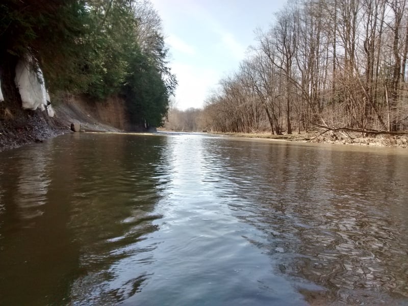
I have only run this section of Conneaut once, the day after Christmas in 2005 when the river was high due to snowmelt. There were several good waves, spread pretty evenly throughout especially near I-90 and near Mile 7. At this high level, they were seperated by long, fast, quiet stretches. If the level is near the min, it looks to be lame, slow, and long.
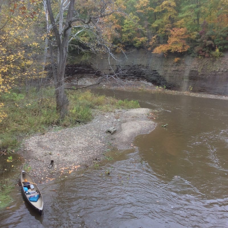
The huge loop in the river is the major perk for this reach. It is a 3.5 mile shuttle for a 9.7 mile trip on the river as Conneaut travels west, cuts through the glacial ridge, and turns east near Kingsville. If you really feel like being on Conneaut the whole day, you can make the trip much longer by putting in on Center Road just downstream of Rt 7 and take Rt 7 just a few miles north and take out on this same Center Road on the other side of the loop. I don't think you can just follow Center Rd the whole way as it appears to dead end at I-90 on both sides without an underpass or overpass. With the price of gas these days it would be wise for boaters to load into one vehicle, pack a bike or plan a hike.
Nov 4, 2017
ran @ 209cfs good level plenty of water
May 2, 2017
It's approximately 2.0ft at low end which is roughly 175CFS - anything lower and you end up going for a river 'walk' instead of a 'float'
Oct 30, 2016
Good level
Oct 30, 2016
From abandoned
bridge
Apr 12, 2015
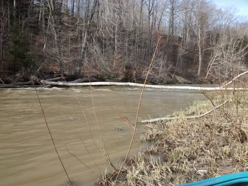
Wood on Section #3 (Old SR to Turnpike) of Conneaut about 1/2 mile upstream of State Rd bridge or 1/2 mile downstream of Horton Rd bridge (steel).
Apr 12, 2015
Section #3 of Conneaut (Old SR 7 to State Rd.) at Fish Ladder.
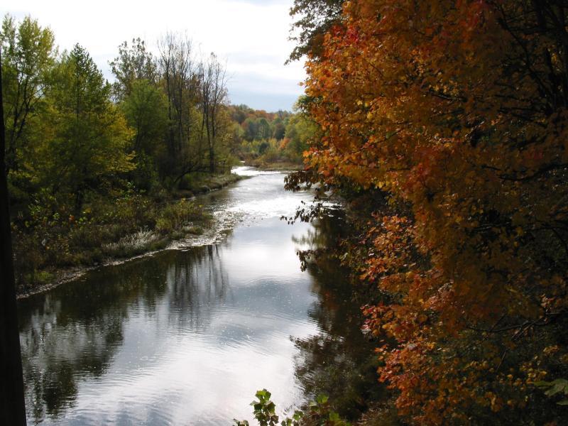
Jan 1, 1900
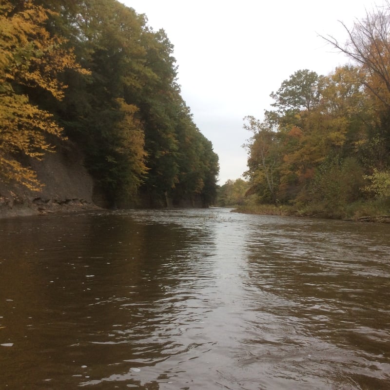
This is a view of Conneaut Creek in the early fall.