Conneaut Creek
State Road Bridge to Creek Road Bridge
Nov 4, 2017
ran @ 209cfs good level plenty of water
May 2, 2017
It's approximately 2.0ft at low end which is roughly 175CFS - anything lower and you end up going for a river 'walk' instead of a 'float'
Oct 30, 2016
From abandoned
bridge
Oct 30, 2016
Good level
Apr 12, 2015
Section #3 of Conneaut (Old SR 7 to State Rd.) at Fish Ladder.
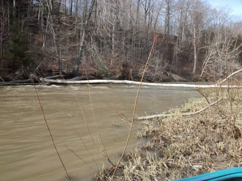
Apr 12, 2015
Wood on Section #3 (Old SR to Turnpike) of Conneaut about 1/2 mile upstream of State Rd bridge or 1/2 mile downstream of Horton Rd bridge (steel).
Jan 1, 1900
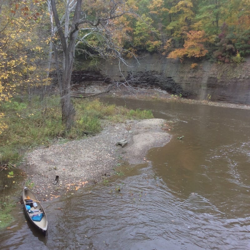
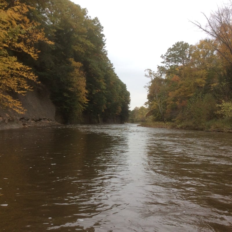
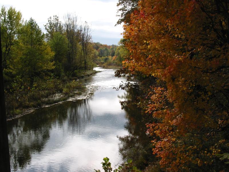
This is a view of Conneaut Creek in the early fall.