Chattooga
Section 4 - Route 76 Bridge to Tugaloo Lake Boat Ramp(Section 4)
Trip Reports
Log in to add a reportLow water toogs - Matthew Albitz
Jun 28, 2026
A classic low water Chattooga day. It was very hot but we rectified that with some snorkeling in the current below 7'. Sammy found a swim through that was pretty cool.
1.55/1.2 goes - Eli Monnin
Sep 11, 2025
Ran (R2 RMR Storm) at 1.2 on bridge gauge, about 1.55 digital if I remember right. Scrapy at Stekoa Creek Rapid and a few exposed gate rocks in Entrance. Other than that, feels like a good level for a first descent. Highly recommend against taking the right line at Entrance in a raft at this level - very bony and that's only if you make it.
Summer Fun on Mama Toogs - Ira Fowler
Jul 2, 2025
Fun day on Section 4. Online was reading 1.59ft & bridge was showing 1.4ft. All rapids were clean down to the lake.
Log jam at Middle Crack, had to portage; 1.2ft at river/bridge gauge - Jake Deering
Jun 28, 2024
Ran Section 4 at 'low runnable' level--bridge gauge read 1.2 ft. Had to portage at Crack in the Rock because water too low to run any option. Middle crack stuffed with two logs and not passable. Right Crack water level was too low and rock too narrow to paddle through. But easy to scout and portage due to low flow at this level. Rest of Five Falls was runnable because the river channelizes so much; same for 7-foot falls. Otherwise lots of rock scraping to navigate upper rapids, but fine for a mild day and a PFD.
Woodall to the lake - Cody Chitwood
Nov 5, 2022
Paddled 11/5/22 with online gauge at 1.29ft. It was pretty low but I think it could be paddled even lower. First time running anything below Woodall. I think it was a good level for a first time trip, although I think a little more water would have actually made a few of the rapids easier. There is a log at the base of a large rock in the middle of the river at corkscrew. All of the flow goes river left. The log is at the base of a big rock that is on the far right side of all the flow. It really didn't factor into to the line, but as you know sometimes we get knocked off line and i could see someone ending up over there so it's something to be aware of. It was a really fun section even at the low flow.
John Swan
Jul 7, 2020
Woodall Shoals - as of 7/7/2020 a large tree has fallen from the bank on river right and is blocking the entrance to the slide. We portaged to below the main hole via the scout rock. River level was 1.55 feet at the US76 bridge.
Sam Muller
Nov 15, 2018
There is currently a new log in Center Crack on top of the log that has always been there. At ~1.4 (bridge) it makes the drop 4-5 feet tall. The landing can backender you powerfully. The log is moving up and down with the current so I don't think it's stuck all that tightly. More water is also flowing through right crack now. Look before you leap! EDIT: That log has been gone for a while but crack is always changing.

Simon Krzych
Oct 19, 2013
We ran this section on July 7th 2012. Second day on the Chattooga with water running close to the first day on section 3 at 1.25ft. Great run with added adventure and difficulty. We lost Mark out of the Mini Me leaving Steve stranded. Amazing day with a lucky boat tow at the lake. I can't wait to get back in the water and run this section again.
Thomas O'Keefe
Apr 25, 2012
Members of the River Management Society head out on a river trip to enjoy the Chattooga Wild and Scenic River and gain first hand knowledge of management issues on the river.


Untitled
Sep 13, 2009
I went down this run as well as section III on labor day weekend at 1.20 on usgs (online) gauge. We ran everything fine until we got to crack in the rock. The right and left cracks were too low to run, so we planned to go down the middle until when I paddled over there there was a large log blocking the way. We had to portage to the left on a rock and get back in but it was difficult because there was no banks so I threw my boat in and then I jumped in the river and climbed back in my inflatable kayak. I would try to get out on the river right though before I resulted to getting out on the left. Lots of scrappy shoals at this level.
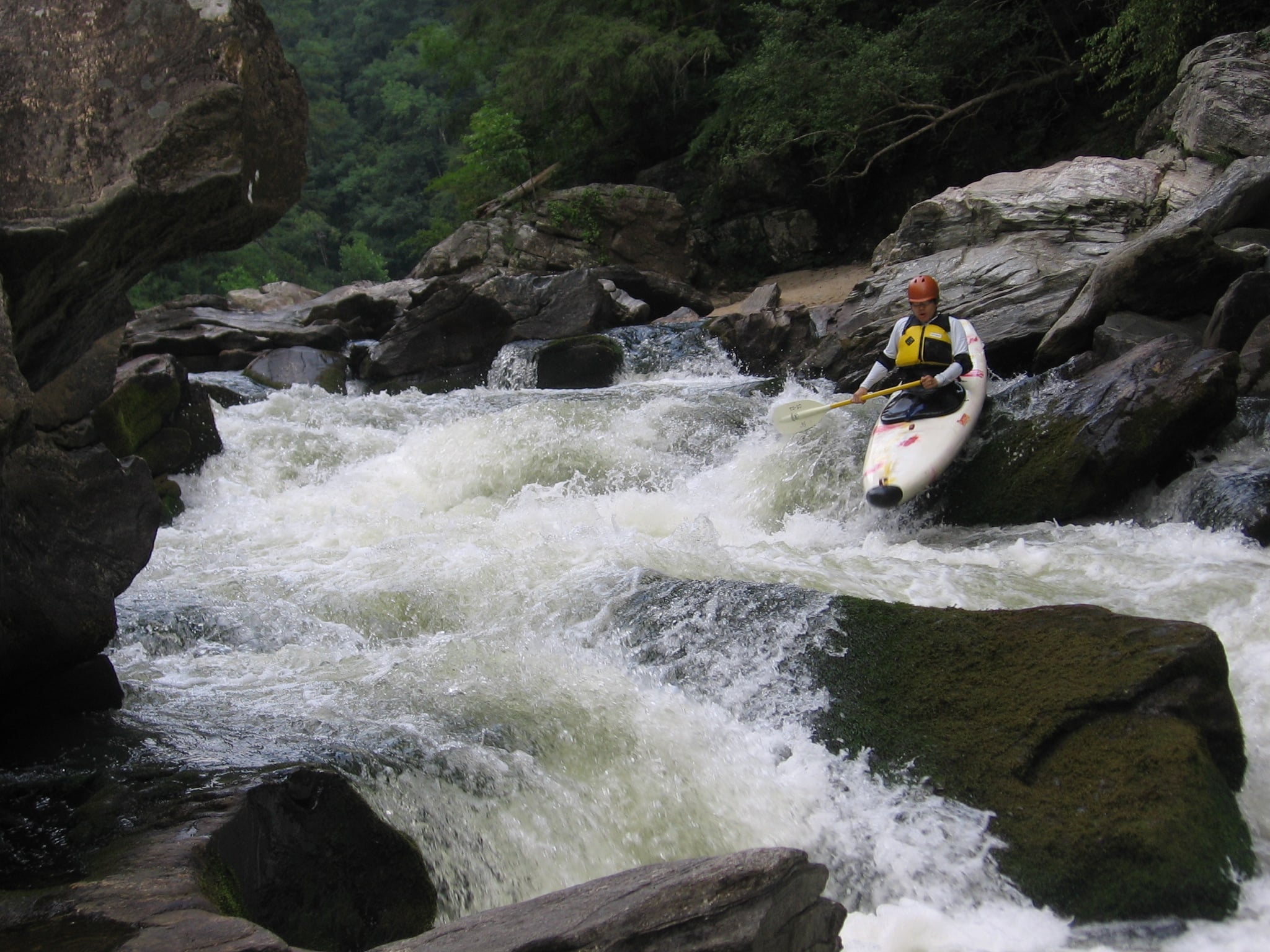
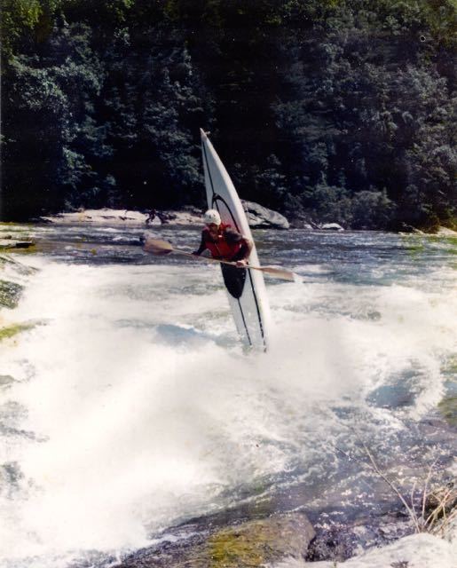
Stu Thompson
Aug 22, 2009
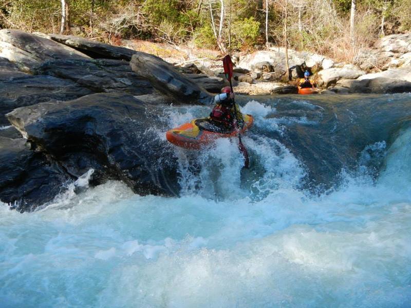
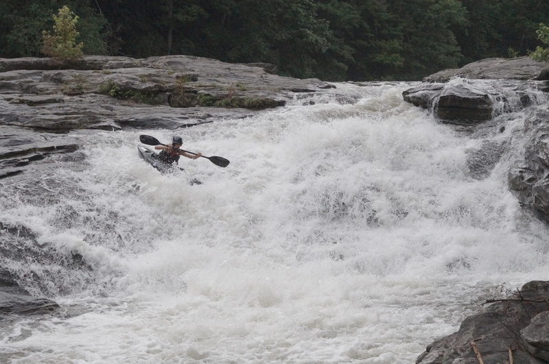
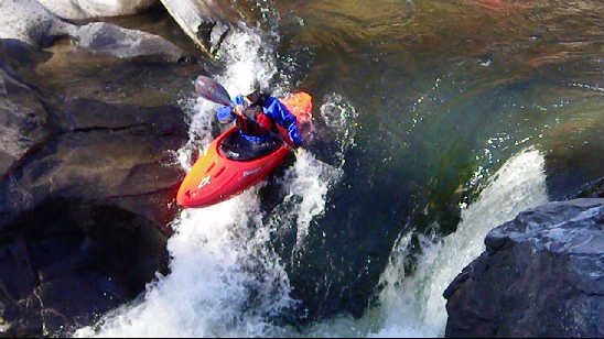
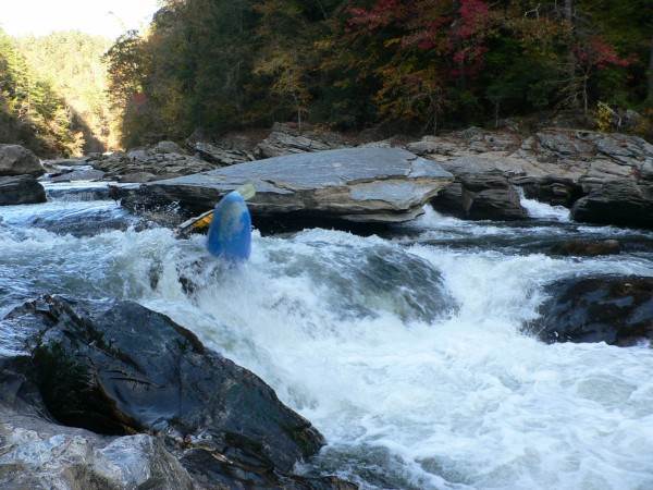
Stu Thompson at 7 foot falls; 1.1' on US 76 bridge gauge; Photo by Jack Shuler
Untitled
Aug 19, 2009
At .98 rock jumble is a pain in the butt. Literally. It hurt. THe normal line is low to go. I drank from the river. Good times all in all. At 1.05 it is much easier cause you dont fall sideways on a rock and fall off of it. Rolling in rock Jumble stole my paddle. Found it when it wiggled loose a minute later. Rolling in rock jumble HAHA right if you like the taste of granite.
Untitled
Apr 15, 2009
Is there anyone who does shuttles in this area? Me and my buddy are coming around may 14th but we know nothing about the area. We were gonna spend a couple days in charlottee and then go run secs 3 and 4 of this river.
Untitled
Aug 27, 2008
Ran the middle crack yesterday with no problems, but this was before the surge of water so there is no telling once again what may be in there.
Matt Muir
Dec 9, 2007
Check out http://www.chattoogariver.org/index.php?req=dam&quart=Su2002 for the history of the Tallulah and Chattooga before the erection of the Tugalo Dam. It's got some niche ole photos of rapids which used to exist, some 80+ years ago. (Sniff...)
Thanks to 'Gomer' at BT for pointing out that great article!

Matt Muir
Jul 25, 2007
The USGS has apparently changed some stuff with their formatting. AW's web developer is working on fixing this glitch.
Meanwhile, this handy table can help you make sense of the reading from above:
flow (cfs) stage (ft)
240 1.2
300 1.3
350 1.4
420 1.5
490 1.6
570 1.7
650 1.8
740 1.9
840 2.0
940 2.1
1040 2.2
1160 2.3
1280 2.4
1400 2.5
1550 2.6
Mike Croak
Nov 10, 2006
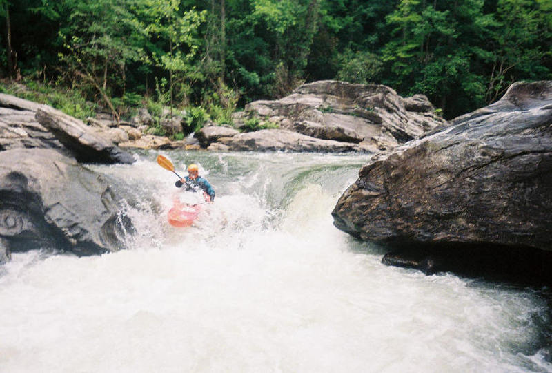
Yuri paddles over the 2 new logs (one big, one
smaller) at the entrance to Middle Crack. There is
now more of a vertical pourover in the crack. It
flipped him, but he washed out and rolled up. The
rest of us portaged.

Milton Mann
May 15, 2006
Brad's first run of the Chattooga. Didn't punch the set-up eddy line to run single drop and got to 'fire up' double drop.
No swims on his first run of Thrifts to Woodall - age 8.
SYOTR
Milton

Brent Steadman
Feb 25, 2006
This is video of WIll who i paddled with for the first time today. He said Corkscrew never stern squirts me. The river gods had other things to say about that.

Adam Weaver
Jan 2, 2006
A kayaker pegged the rock below and got stuck.
See I told ya
Lookin good so far?
Using his head really helped out on this run!


Don Kinser
Apr 24, 2005
The Chattooga actually became part of the National Wild and Scenic River system on May 10, 1974. July 1, 1976 was the first day that it was illegal to boat aboe the highway 28 bridge.
Yes a new bridge is being built. However the existing paddler's gauge will be preserved, at least that is the plan at this point.