Chattooga
Section 2 - Highway 28 Putin to Earl's Ford
| Difficulty | II |
| Length | 6.1 mi |
| Avg Gradient | n/a |
| Gauge | Chattooga River Near Clayton, Ga |
| Flow Rate as of 1 hour | 1.39 ftlow runnable |
| Reach Info Last Updated | October 9, 2020 |
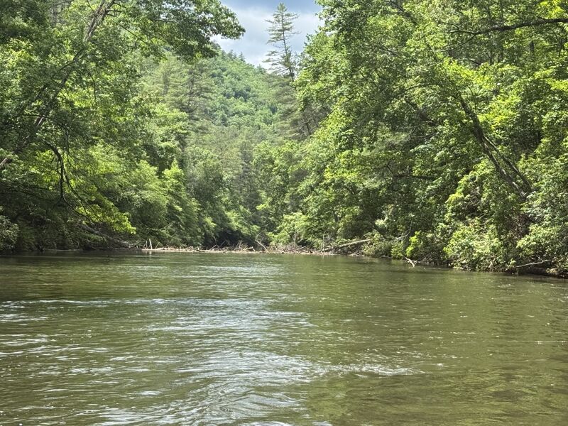
Section 2 is a scenic float trip with a handful of small ledges, rapids, and shallow shoals separated by long sections of deep flatwater. At moderate levels the run is class II+ with no significant objective hazards except perhaps the occasional tree. The run starts at an official put-in a mile or so downstream of the Highway 28 bridge, and Earls Ford is the typical take-out (River left). There are also a number of possible put ins on the West Fork upstream that add a nice addition to the run if the water is high or you want to make it a 2-day trip. There are quite a few nice campsite options on riverside benches in the middle part of the run, but few beaches. It is worth getting a trail map to pick a campsite away from trail access. 1.8 feet is a reasonable minimum for rafts.

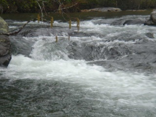
This is a ledge style rapid with some playspots in it. There is an area on river right about an 1/8 mile below that you can stop and take a break.
Jun 8, 2026
Regarding the strainer mentioned in the previous comment, it is now passable against the right bank. Just wide enough for an NRS slipstream to get through. Level 1.55ft.
May 31, 2026
Near 2 ft on the online gauge. May 30th. River wide strainer 1/2 mile downstream of big shoals. We had to portage over the logs and chose river left, near the bank. Multiple logs with branches across river. Beautiful trip otherwise.
Jul 17, 2022
4.5 hour inner tube trip from low water bridge road to earl's ford. Water level seemed a little low with us dragging bottom a good bit. We didn't stop anywhere except to portage one rapid (a big rock the size of the river)
Apr 2, 2022
Ran on 4-2-22. Gauge was at 2.44ft. I found that to be a good level. Nothing was bony. Not really any significant rapids on this section. Ran the right side at big shoals. Saw a few limbs and small trees in the river along the way down. None were in the main lines and all were easily avoidable.
Mar 14, 2018
Dennis Simpkins and Gary Kyle negotiating Turn Hole Rapid, Section 3, Chattooga
Apr 25, 2016
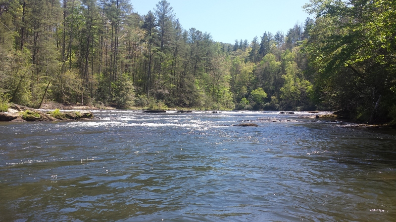
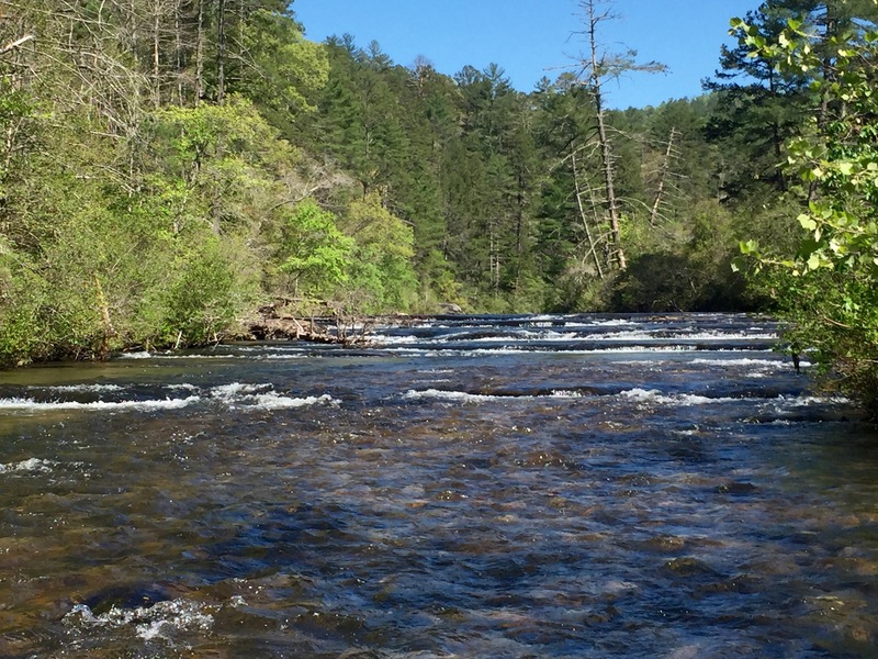
One of the first rapid sections on Section 2. ~1.67 ft April 2016
Apr 25, 2016
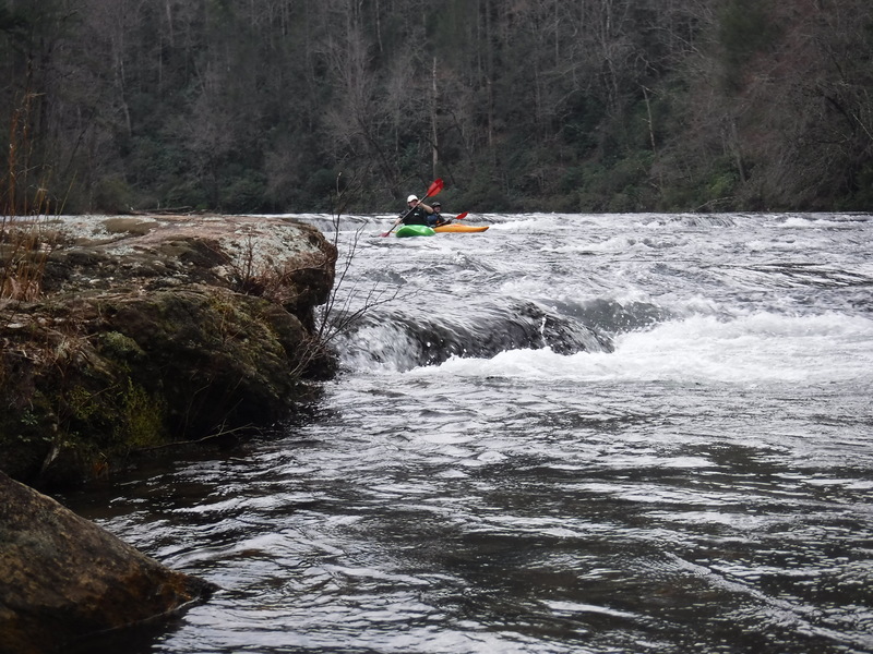
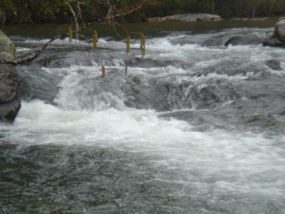
Rapid toward the end of Section 2. ~1.67 ft. April 2016
Apr 25, 2016
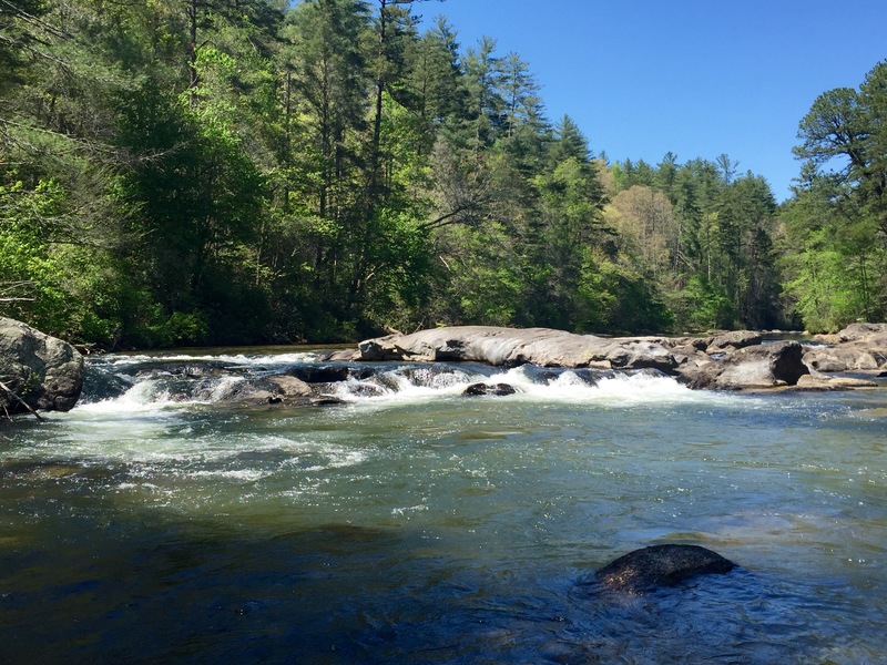
Big Shoal @ ~1.67 ft. April 2016.
Feb 17, 2014
Paddled Sec 2 on 01/16/2014 @ 1.97 and very clear water. Nice level, not scrapey. We ran the river left chute at Big Shoals after scouting both sides.
Jul 21, 2013
After the early July 2013 high-water sets where the Chattooga hit 5 feet or higher inside of several days, section 2 is clear of meaningful strainers. There is a big pile-up of wood at the center-left of Big Shoals rapid, but it adds no additional hazard or difficulty to that rapid. It was a treat having good water level in mid-Summer on this section; at 2.3 feet the runs pushes through a bit faster, of course, while still providing the beginner-intermediate paddler with the lovely Chattooga scenery.