Tallulah
2 - Tate Branch Campground to Coleman River(Upper Tallulah)
Oct 21, 2012
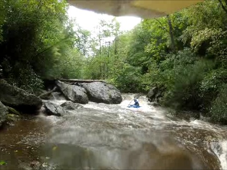
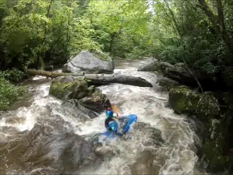
We shot some video of the top half of this run in the summer of 2012
http://www.youtube.com/watch?v=68AeVKPeWlM&feature=plcp
Dec 22, 2006
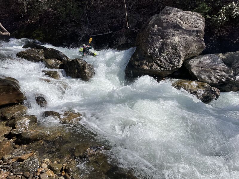
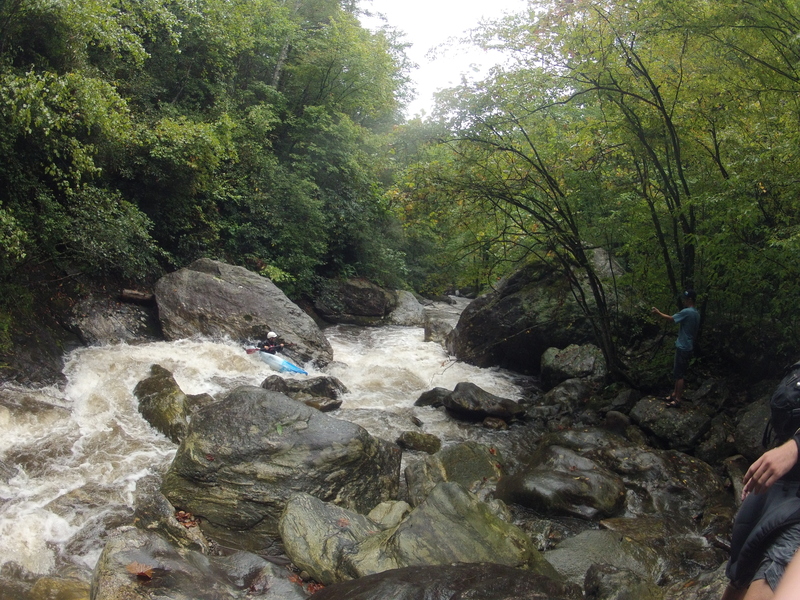
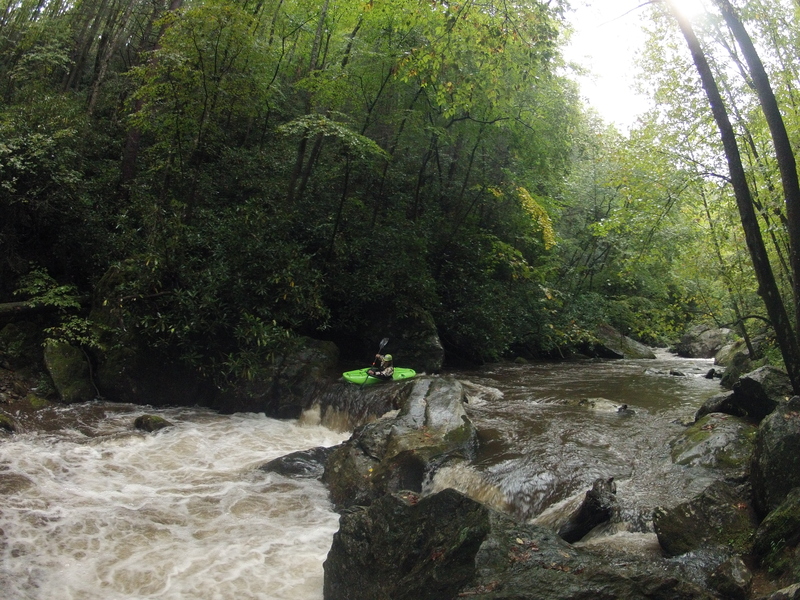
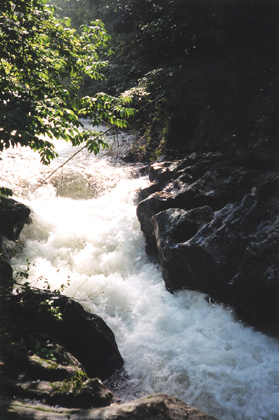
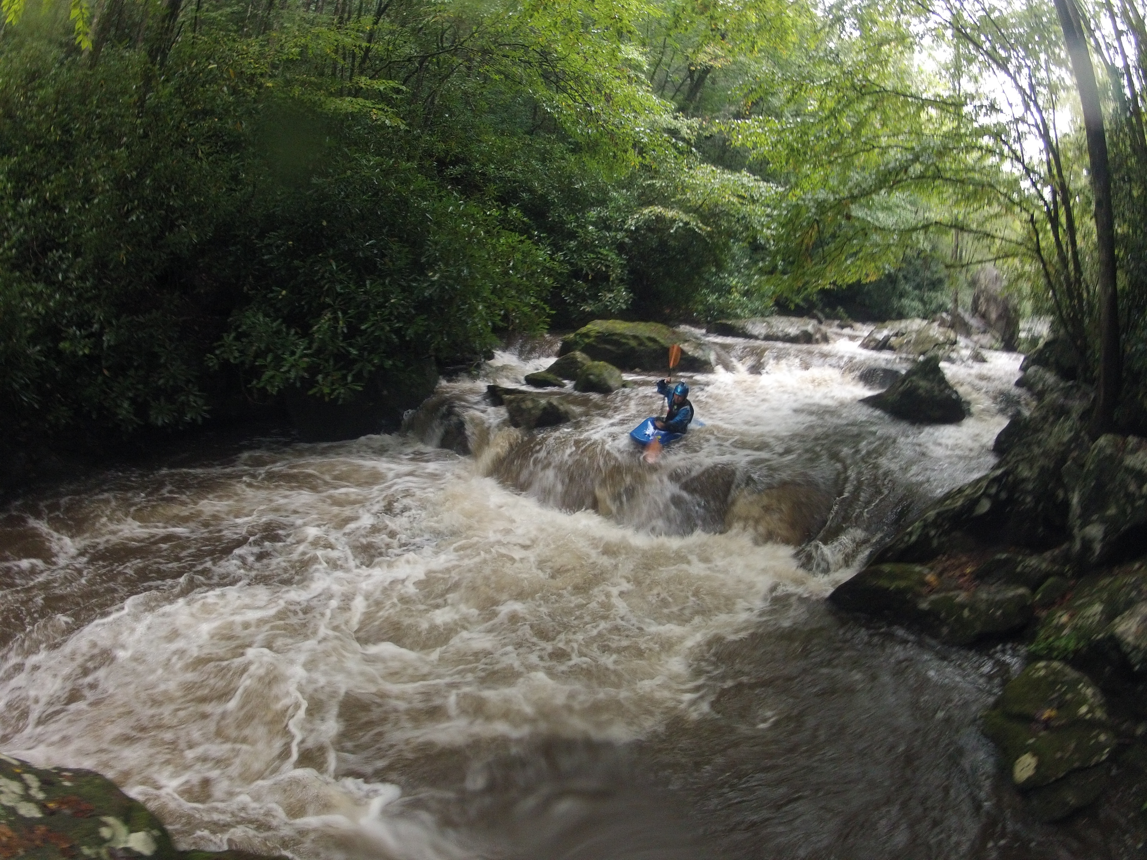
We ran this today, Dec 22, at about 600 cfs on the on-line gauge. Good level. Two runs of Flume of Doom (some funny water at the landing) and the rapid that is almost completely sieved-out. Definitely 'manky' in there, but a fun run when Overflow is too high. Need to go in with a bowsaw and cut a few logs.
Feb 1, 2003
Brad,
Here is my beta from the Upper T, in case you can use any of it on its SK
page, especially with gauge levels. I'm not sure there's been a decent
correlation between what amount of water the run needs in relation to the
USGS reading. I'd call 4:30 yesterday a somewhat decent minimum for the run,
which registered around 240 cfs on the online gauge, though it could
definitely use more water to fill in a few more of the undercuts and sieves
and open up some cleaner lines. I thought at the time it was around 200 cfs
or so.
The gauge is a bit downstream:
http://waterdata.usgs.gov/ga/nwis/uv?02178400
Gauge location:
http://www.topozone.com/map.asp?lat=34.890277777777776&lon=-83.5305555555555
5
Versus the takeout of short whitewater section:
http://www.topozone.com/map.asp?z=17&n=3868479&e=267287&s=25
I wasn't expecting it to be running yesterday, but it was, albeit on the low
side. The Coleman had a little bit of water, but it was still too low and
definitely not very clean.
Sutton
Jan 1, 1900
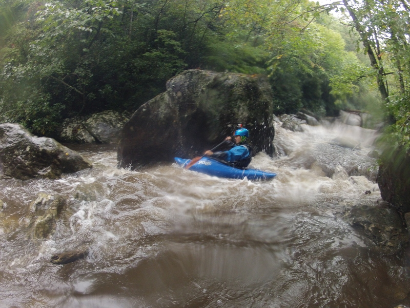
I have personally felt the Flume of Doom to be one of the most intimidating rapids on this river. It was one of the last rapids to be run by exploratory trips in te early 90's. The line is rather easy and straight down the middle. Just don't hit the undercut banks and your fine.