Tallulah
2 - Tate Branch Campground to Coleman River(Upper Tallulah)
February 1, 2003
| Reporter | Brad Roberts |
Brad,
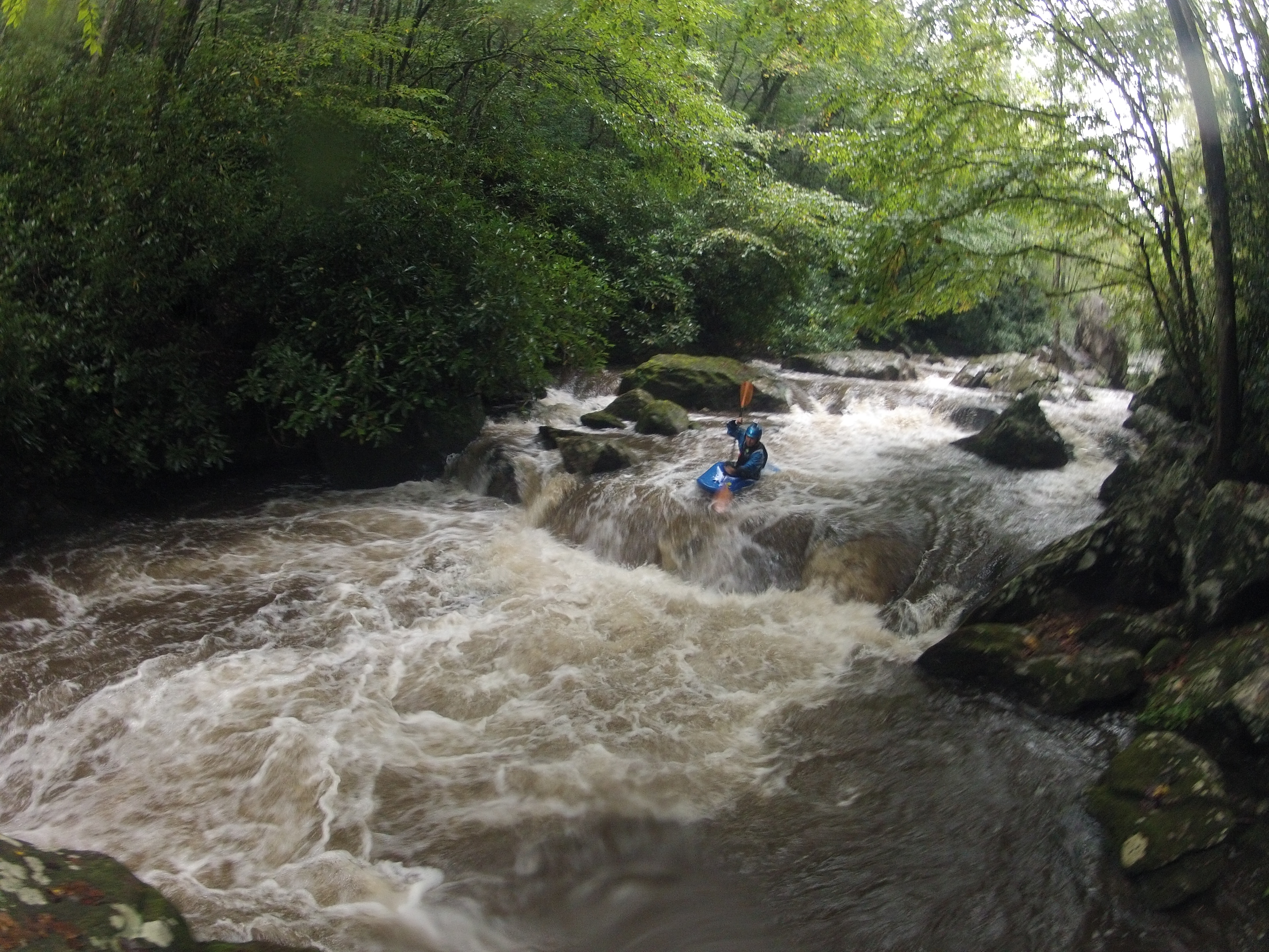
Here is my beta from the Upper T, in case you can use any of it on its SK
page, especially with gauge levels. I'm not sure there's been a decent
correlation between what amount of water the run needs in relation to the
USGS reading. I'd call 4:30 yesterday a somewhat decent minimum for the run,
which registered around 240 cfs on the online gauge, though it could
definitely use more water to fill in a few more of the undercuts and sieves
and open up some cleaner lines. I thought at the time it was around 200 cfs
or so.
The gauge is a bit downstream:
http://waterdata.usgs.gov/ga/nwis/uv?02178400
Gauge location:
http://www.topozone.com/map.asp?lat=34.890277777777776&lon=-83.5305555555555
5
Versus the takeout of short whitewater section:
http://www.topozone.com/map.asp?z=17&n=3868479&e=267287&s=25
I wasn't expecting it to be running yesterday, but it was, albeit on the low
side. The Coleman had a little bit of water, but it was still too low and
definitely not very clean.
Sutton