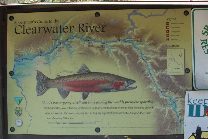
Clearwater
Kooskia to Snake River
| Difficulty | I-III |
| Length | 75 mi |
| Avg Gradient | n/a |
| Reach Info Last Updated | July 6, 2024 |
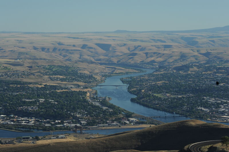
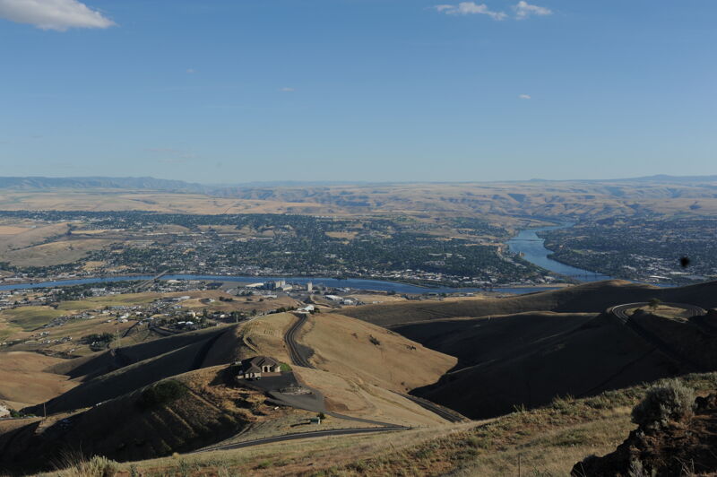
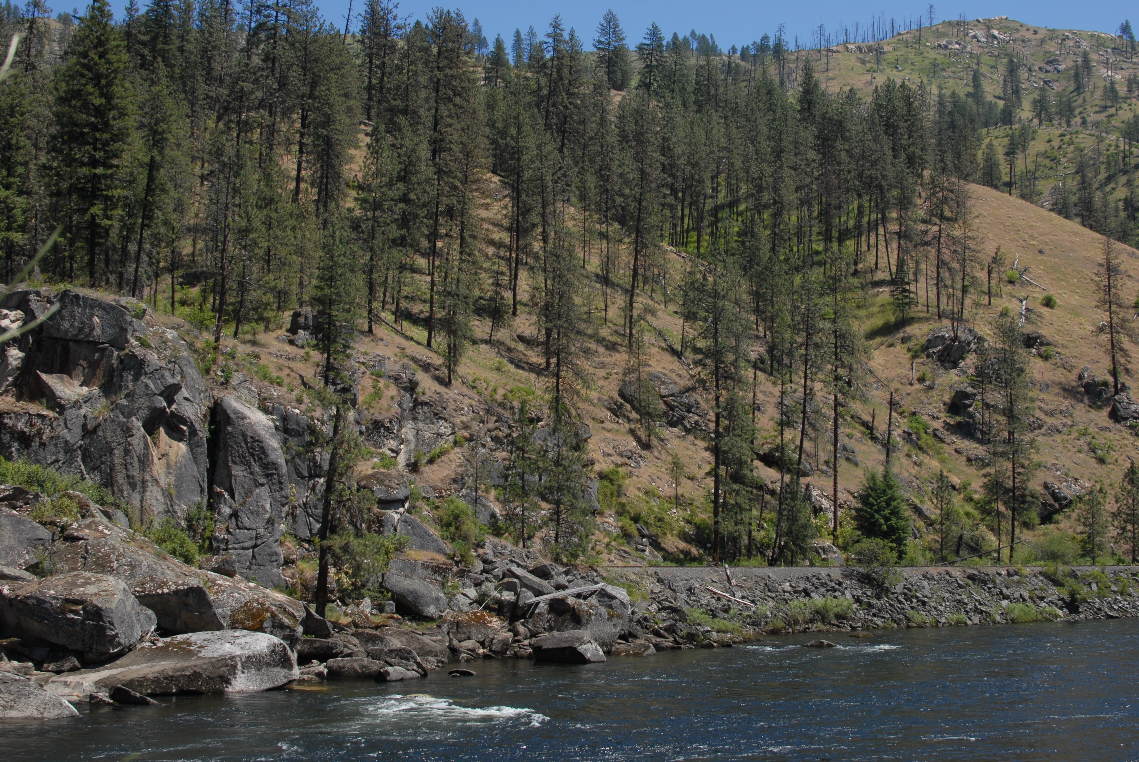
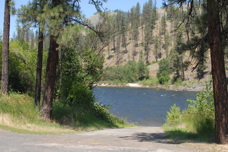
In the town of Kooskia the Middle Fork and South Fork join to form the main Clearwater which continues for 75 miles to the confluence with the Snake River. The river flows through the traditional homeland of the Nimiipuu (Nez Perce).
Highway 12 parallels the river and offers a number of access points for day trips. The
Logistics:
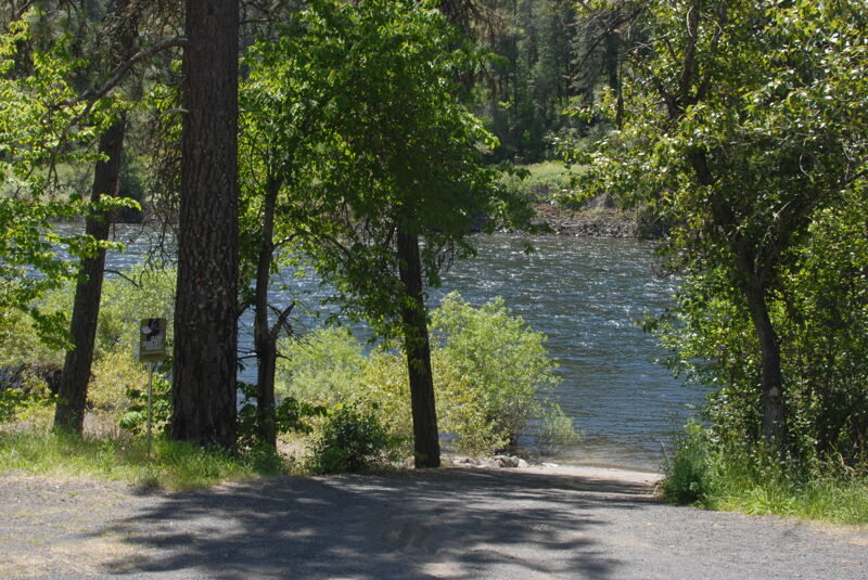
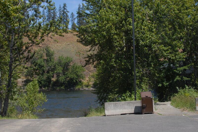
A number of access points are available along Highway 12.
turn to Kooskia: Highway 12 mile 73.9
Button Beach: Highway 12 mile 71.8
bridge in Kamiah (downstream river left): Highway 12 mile 66.8
Long Camp: Highway 12 mile 60.9
Five Mile: Highway 12 mile 54.5
Greer: Highway 12 mile 51.5
Zans: Highway 12 mile 49.3
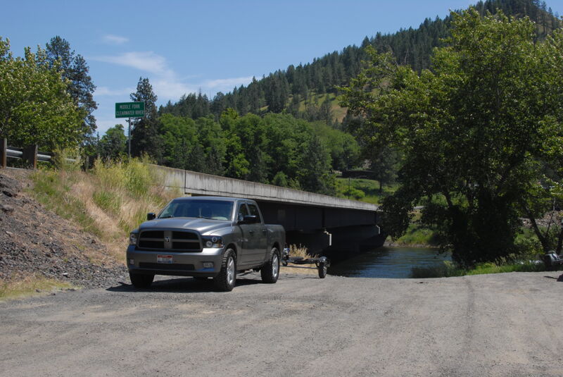
turn for Orofino: Highway 12 mile 44.0; Canoe Camp where Lewis and Clark strated traveling west on the river is located just downstream
Pink House: Highway 12 mile 39.1
Harper's: Highway 12 mile 33.9
Lenore: Highway 12 mile 28.2, across the bridge and upstream
rest area access: Highway 12 mile 27.8
informal access: Highway 12 mile 26.2
Cherry Lane: Highway 12 mile 20.9
McKay's Bend Campground: Highway 12 mile 18.6
Gibb's Eddy: Highway 12 mile 16.2
Upper Hog Island: Highway 95 mile 305.1
Lower Hog Island: Highway 95 mile 306.5
Upper Goose Pasture: Highway 95 mile 307.4
Lower Goose Pasture: Highway 95 mile 309.0
Dirt boat ramp on the downstream river right side of the bridge. Site includes a portable toilet. Located at Highway 12 mile 73.9.
Good access on river right with a ramp and a portable toilet. Located at Highway 12 mile 71.8.
Good access with a ramp in Kamiah on the downstream river left side of the Highway 12 bridge. The site has a toilet. Located at Highway 12 mile 66.8.
Access on river left. The site has a ramp and a portable toilet. Located at Highway 12 mile 60.9.
Access on river left with a ramp and toilet. Located at Highway 12 mile 54.5.
Access on the downstream river right side of the bridge in Greer. Located at Highway 12 mile 51.5.
Access on river left with a ramp. Located at Highway 12 mile 49.3.
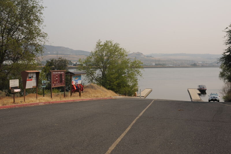
Access on river left with concrete boat ramp, which provides access to the Clearwater River year-round. This site has a full service campground managed by Bureau of Land Managmenet that accommodates RV and tent camping with views of the river. Each site has standing BBQ grills, picnic tables, and fire rings. Native trees provide abundant shade throughout the site. Guests can access the large sandy beach with just a short walk from their campsite. The beach is open for year-round use, but is closed to vehicle use from June 1 to September 30 to enhance the safety of beach users in the summer months. If you are just visiting for the day, there is ample parking for vehicles including trailers. Potable water is available and distributed throughout the site. There are also several toilets (flush and vault) and two dumpsters on-site. There are two accessible group pavilions for day-use only. Located at Highway 12 mile 39.1.
Access on river left with a ramp and a toilet. Located at Highway 12 mile 33.9.
Access on river right in Lenore with a concrete ramp. At Highway 12 mile 28.2 cross the bridge and upstream and head upstream to the access.
Access on river left with a ramp and portable toilet. Located at Highway 12 mile 20.9.
Access on river left with a ramp and toilet. Located at Highway 12 mile 16.2.
Paved access ramp on river right in Lewiston.
Jun 20, 2021