Potomac
3. Great Falls (VA Lines)(the spout)
| Difficulty | V |
| Length | 0.4 mi |
| Avg Gradient | 100 fpm |
| Permit | Access to the river is restricted on both the Maryland and Virginia sides. Maryland Side - Paddlers may put in anywhere on the Maryland shore, but may not leave the boardwalk across Olmstead Island. To run the Falls from the Maryland side, most people put in above and run the aqueduct dam, or put in below the dam at higher levels. Virginia Side - Paddlers may not put in upstream of the Falls. To run the Falls from the Virginia side you must put in at Fisherman's Eddy and then ferry and carry above both O-Deck rapid and the Falls themselves. Carry up the Flake for multiple laps. If the rocks are wet, this can be sketchier than running the Falls. Running Great Falls is currently unrestricted. However, to maintain good relations with the National Park Service paddlers voluntarily restrict their runs to less populated times in the park—early morning, late evening, or weekdays—and limit group size and time spent in the rapid. The Park Service is concerned about running the Falls at popular times because it can draw spectators down off the observation decks and closer to the river's edge -- where they might fall in the water and drown. And, if paddlers spend a lot of time running around and relaxing in the Falls, it can give the impression that such activities are not very difficult or dangerous. Since 1975, at least 30 people have drowned in Great Falls, so the Park Service is understandably nervous about this. For more information, see the Guidelines for Running Great Falls as written by the Canoe Cruisers Association in 1999. Today regular Falls runners continue to dialog with the Park Service to make sure access remains open to all. |
| Gauge | Potomac River Near Wash, Dc Little Falls Pump Sta |
| Flow Rate as of 1 hour | 2.89 ftlow runnable |
| Reach Info Last Updated | April 30, 2019 |
Overview
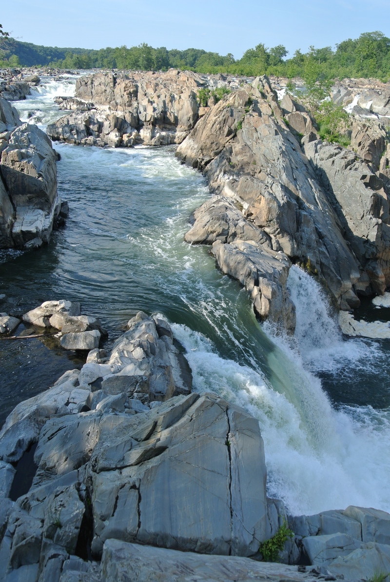
Great Falls of the Potomac River is a major set of rapids located about 15 miles upstream of Washington, DC. The main Falls lines drop fifty feet in one-tenth of a mile, creating a Class V+ set of waterfalls. In addition, a portion of the river flows around Olmstead Island in a channel called the Fish Ladder (additional channels flow at higher water).
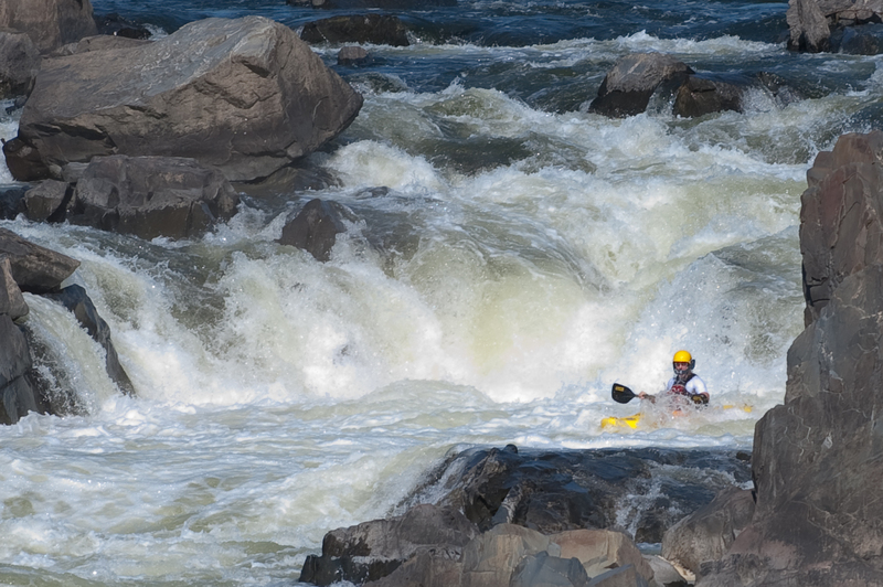
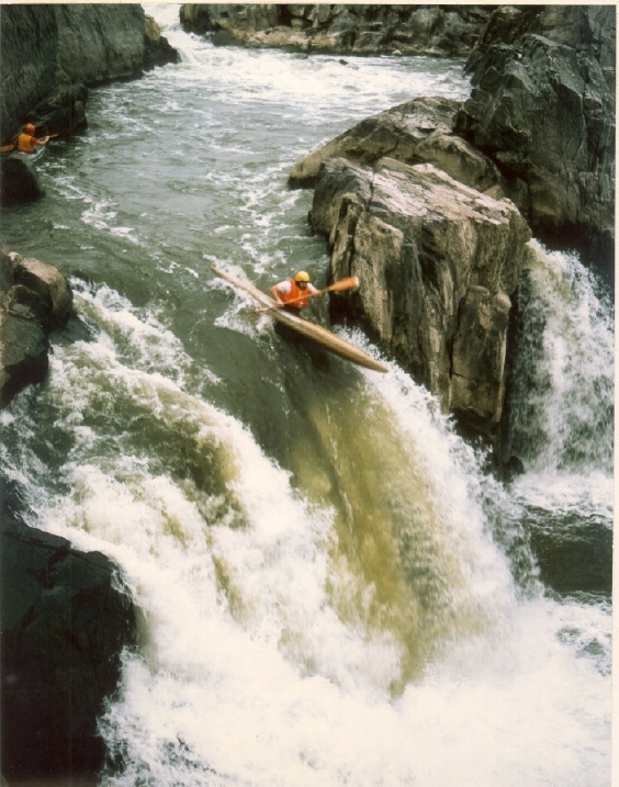
The Virginia Line is a classic sequence of technical whitewater leading up to a tricky 20' waterfall. This channel separates from the main channel at the top of the Flake Island. The top rapid, U-hole is probably the hardest and where most carnage occurs. The ideal line changes depending on the level. 40 years of waterfall hucking haven't made the spout any easier, but boat design probably has. The right line is now the standard line - either boofing over the hole entirely or reconnecting on a shelf. The left line is a good test of boat control. The Virginia side is runnable at high water but not recommended.
History
Paddlers have known about Great Falls as long as there has been whitewater kayaking. Many of the features -- such as the Spout, the Fingers, the Fish Ladder -- have names that predate paddling, in some cases by hundreds of years. But it was not until paddlers started running waterfalls regularly in the 1970s that paddlers began to seriously consider running the Falls. The first descent of Great Falls was made in 1975 by local experts Tom McEwan and Wick Walker, with the second descent by Steve McConaughy and Great Falls National Park Ranger Bill Kirby.
River Signals and Helicopters
The Park Service patrols the Potomac with a helicopter most summer weekends. In an effort to minimize confusion, the helicopter pilots are trained to recognize three signals from paddlers.
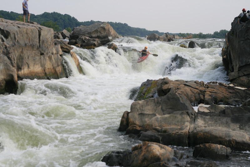
Negotiate the small ledges and rocks at the top, then either slide down the left or boof off the center. There's also a high-water sneak on the right called Norman's Leap. The rock shelf protruding from the left bank below the drop is slightly undercut and there can be some very retentive holes
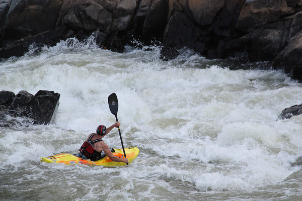
enter from river left of the nasty hole, boof through an angled ledge, and gnerally stay right. For extra challenge, try catching the 4 eddies. A short pool separates S-Turn from the Spout, with a convenient staging eddy on the right.
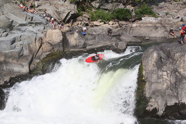
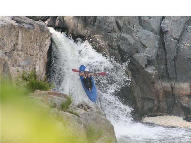
The Spout is the tallest individual drop in Great Falls at about 18-22 feet with a sloping lip. the current is pushing to the right, curving down a 4' slope, and falling off to the left.
The standard 'old school' line is to start in the river right eddy and drive hard left across the lip and boof when the ramp ends. Lots of people will inevitable misjudge the current here and end up falling off sideways in the middle....The hole becomes really powerful above 3.1, and a rock behind the curtain (Big Toe) becomes exposed below 2.8.
Many people now prefer the right lines. The far right line involves driving up onto the boil at the lip and boofing onto a rock shelf jutting out from shore. It looks ugly but runs pretty smooth. Skipping off the shelf is actually softer on your back than landing in the green water on the left.
The preffered line is the right of center, boof off the curler, race line. similar to the far right line, but just clipping the edge of the boil, and taking a huge lefty off the curler that falls into the meat of the hole. Run well, this will give you some serious air time but you should either land clear of the hole or in the seam, reemerging with a mighty salmon jump
The Crack (Class 5.2) is a high-water (3.3 < LF < 3.70) alternate line to the Spout. It requires you to ferry across powerful current and hit a boat-width slot at full speed. If you miss the slot, or get rejected by the boils guarding it, you will wash over the Spout backwards and get destroyed.
Aug 10, 2014
Great Falls
Apr 24, 2012
On July 19, 2008, an attractive blonde lady took great pictures of me on the Spout (of Great Falls) and promised to send them to me, but I never heard from her. This is probably a long shot, but if anyone happens to run into her, or if she sees this, please send pictures to rjsfarmer@yahoo.com, call me at 410-624-6421, or mail me at P.O. Box 41115 Baltimore, MD 21203. I was in an orange boat with red or purple paddles, black lifejacket, and red helmet. Thanks---RF
Dec 7, 2011
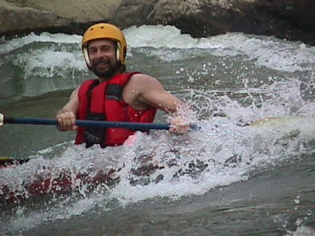
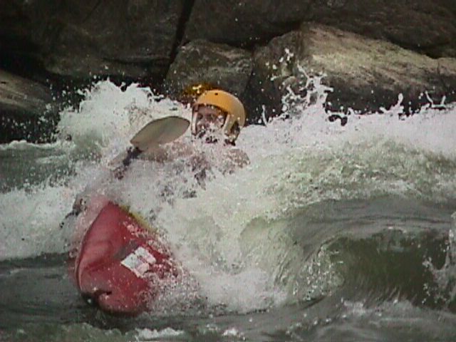
Surfiin first wave at 'O' Deck at Great Falls on The Potomac. 1998