Jarbidge
Jarbidge Forks to Bruneau River (Indian Hot Springs)
May 28, 2025
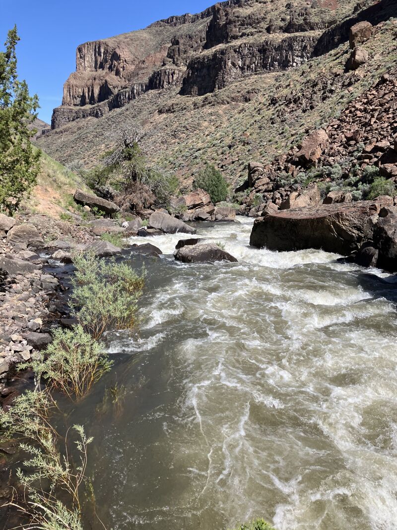
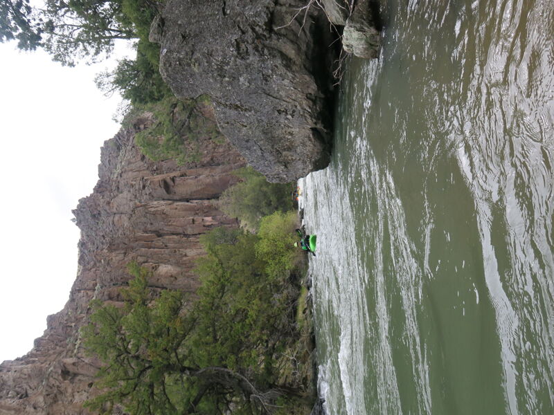
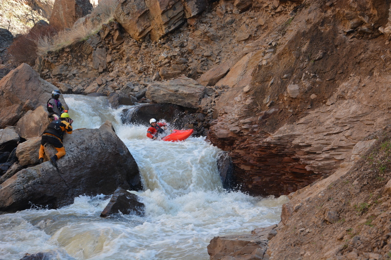
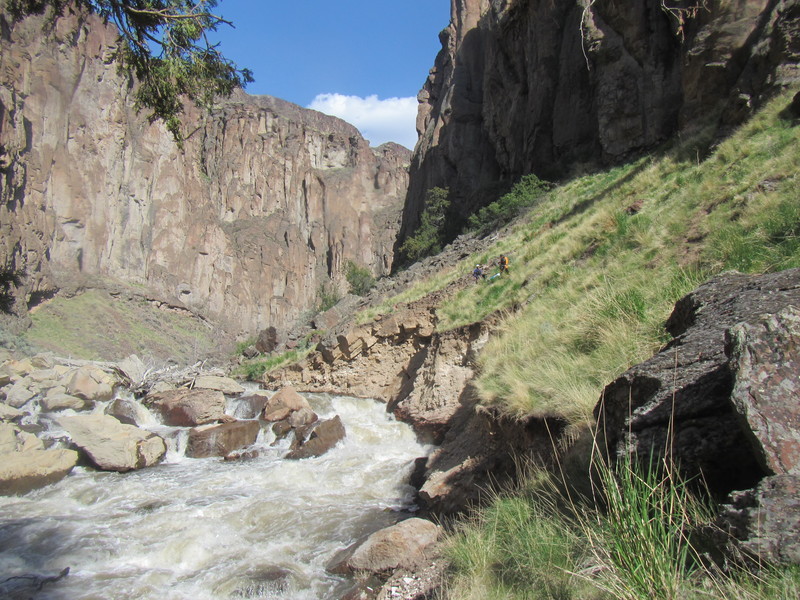
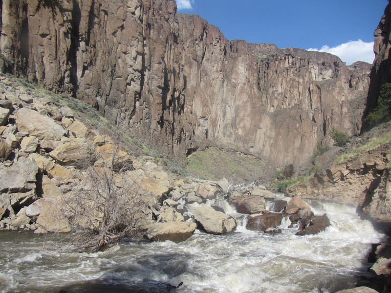
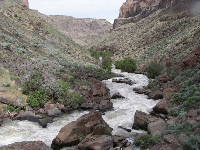
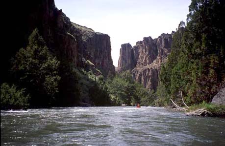
When we put in it was 180 cfs at the Jarbidge gauge. We did 2 nights above the confluence which was plenty of time, and 2 nights below (and could have easily added another night or 2). The first campsite was 7 or so miles down, and the rest of the river has small to medium sized campsites relatively regularly. The river is continuous, with all of the bigger rapids being easily boat scoutable from a small craft (it would be tight but definitely doable for rafts at these flows). The two portages can be easily identified by large rock slides coming off of the hill from the right. The first portage (of Barker Falls aka Grey Skull) is done on river right at river level. The rocks are big and chunky but the distance is short. Portage Jarbidge Falls on river left, there is a trail visible. The portage becomes significantly easier if you paddle down through a couple rocks to the first significant horizon line and catch the eddy on the left (easy catch and 2-3 kayak sized at our flow). Walk on the trail around the rapid and put back in to run the bottom of the rapid! We took out at 816cfs on the Bruneau hotsprings gauge. These canyons are remote, gorgeous, and a real treat. We used Barker expeditions for our shuttle. The canyon can be quite chilly since the sun comes late and leaves early, and the water (snowmelt) can be chilly. The run could easily hold more water than the flows we had, and be run a bit lower too (although this would start getting challenging in a raft).
May 14, 2020
We put on with about 900 cfs but flows dropped to 700 cfs at take out. Flow on the Jarbidge was fine but definitely the bottom end of runnable for rafts on the Bruneau.
Jun 8, 2017
Running the landslide rapid at low flows.
Apr 25, 2016
Put on for this run 4/19/2016. Within the first mile there are 3 trees overhanging the river. At our flow (1080) we could just duck under them. Higher flow could be a problem. There are trees blocking the entire river at miles 3 1/4, 7, and just beyond Slide Rapid. Higher water might help in getting over these. The center chute in Wally's Wallow is filled with a full sized tree. Don't see it coming out anytime soon. Given that we'd never ran the rapid before we lined, then portaged left. These are only the main wood hazards. Wood is everywhere!
May 30, 2013
This is the drop that has replaced Sevy falls. You can see two paddlers on the portage trail river left, above the eroded bank.
May 30, 2013
This is the rockfall that inundated the former Sevy falls.
May 30, 2013
The portage at the former Sevy Falls-now Slide rapid, was passable this 2013 season. Someone has shored up the sketchy part of the goat path with stacked rocks. The trail is still only a narrow herd path on a steep grassy slope, and not suitable for wide loads.
Jun 15, 2009
Skip my earlier comment. Sevy Falls no longer exists. http://www.kayakidaho.com/index.php?option=com\_gallery2&Itemid=110&g2\_itemId=57962
May 15, 2006
Definitely Runnable .... But pretty remote to deal with consequences.
May 6, 2006
There is a USGS gauge station 13162225 on the EF Jarbidge some may find of use.