Lochsa
2 - Indian Grave Creek to Wilderness Gateway Bridge(Upper Lochsa)
| Difficulty | IV |
| Length | 16 mi |
| Avg Gradient | n/a |
| Permit | No permit is needed for this roadside accessible river. |
| Gauge | Lochsa River Nr Lowell Id |
| Flow Rate as of 1 hour | 1440 cfslow runnable |
| Reach Info Last Updated | May 26, 2025 |
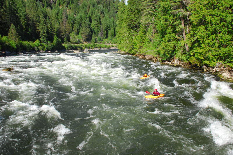
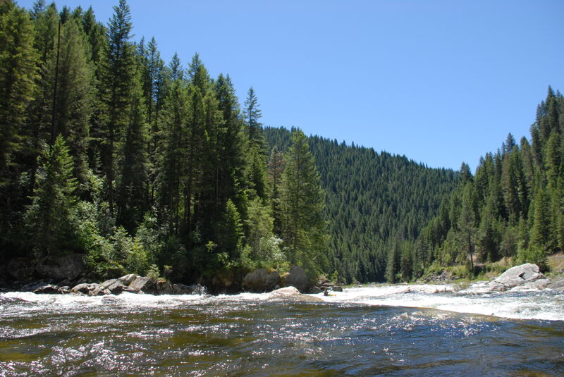
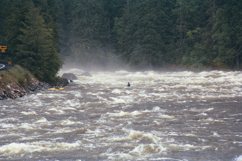
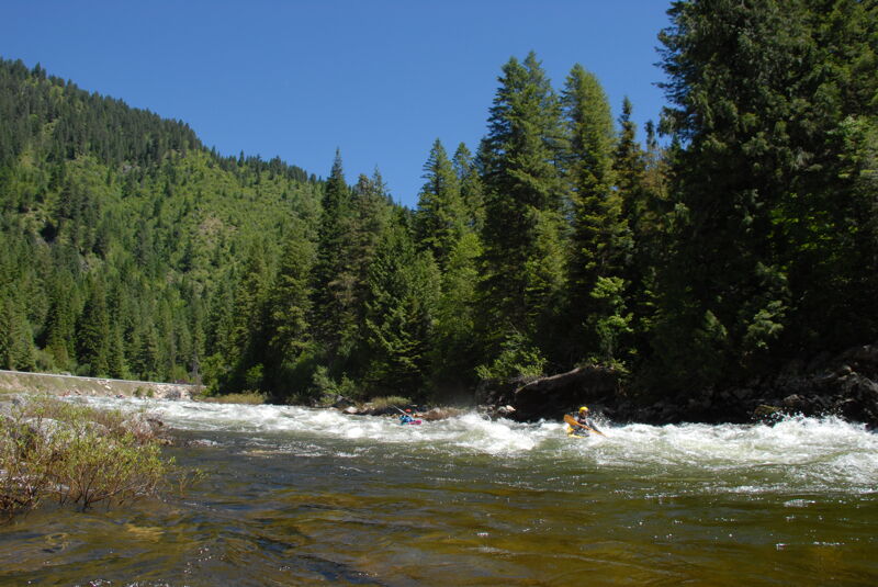
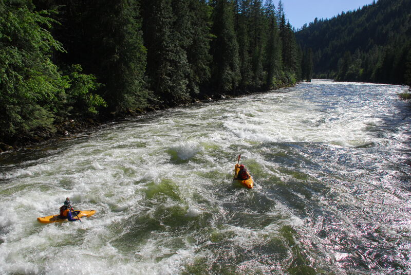
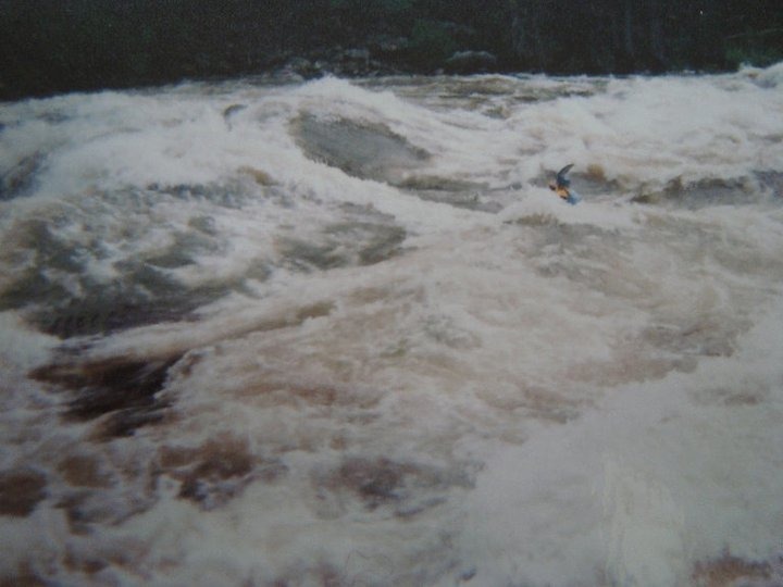
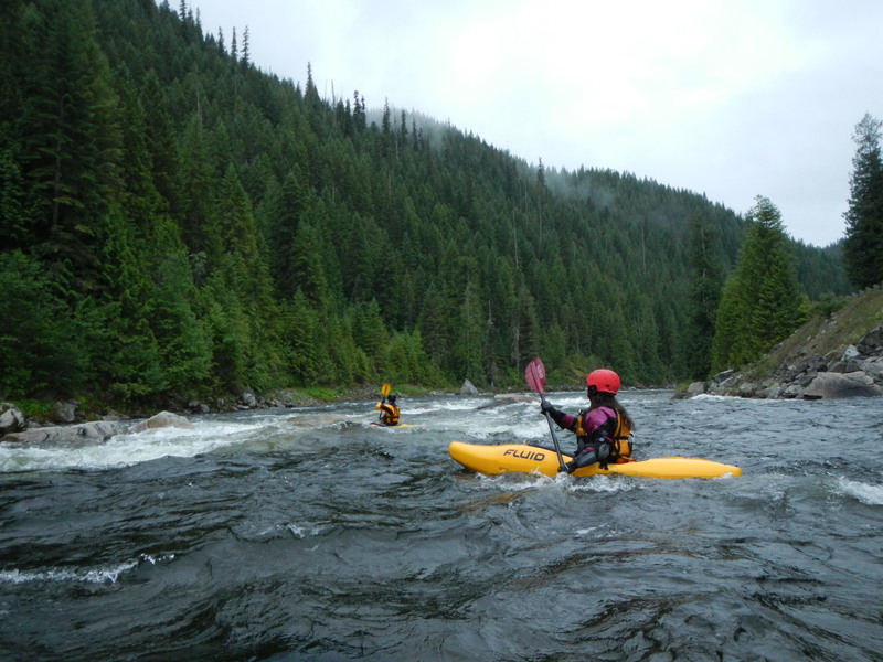
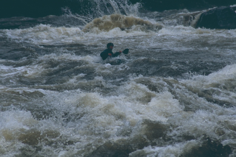
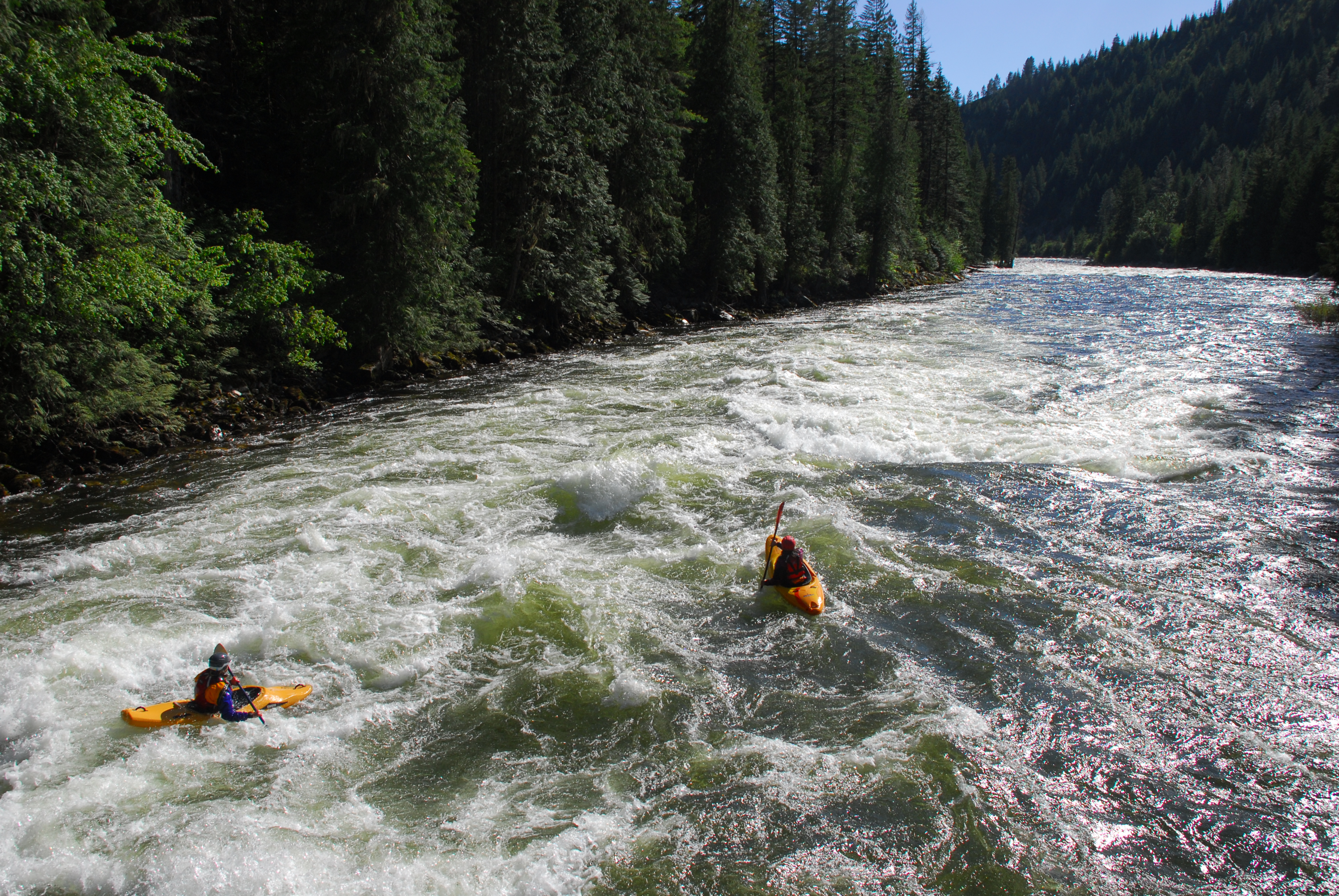
The classic 'Upper Lochsa' with great continuous class IV whitewater.
Logistics: The put-in is at White Pine at Highway 12 mile 138.5 and the take-out is at Wilderness Gateway Bridge at Highway 12 mile 122.7. For those looking to shorten the run, alternative river access points include Dead Mile at Highway 12 mile 127.5, Department of Transportation Bald Mountain Maintenance Facility at Highway 12 mile 128.4. Nine Mile at Highway 12 mile 129.5, or wherever you find a convenient pull-out along this stretch of river.
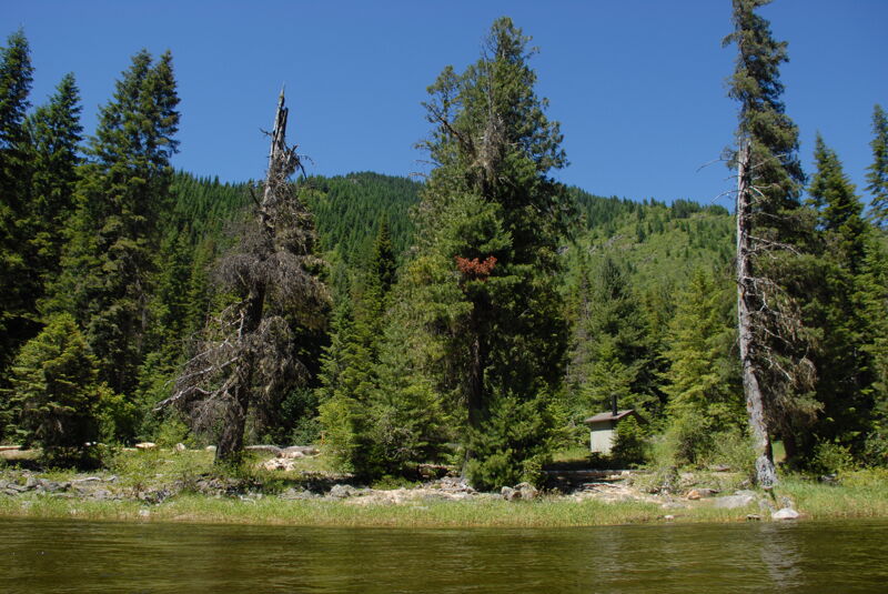
While there are several camping options along the entire Lochsa River, including some nice undeveloped sites, Wilderness Gateway Campground, the take-out for this run, at Highway 12 mile 122.7 (cross the bridge to the campground on river left) offers the most sites and is a popular gathering place for whitewater paddlers in the spring.
Other Information Sources:
Montana Eddy Hop Blog - Lochs a Photos and comments.
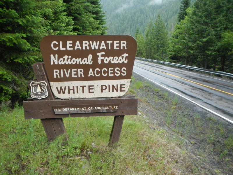
The top put-in is at White Pine at Highway 12 mile 138.5. A short gravel road leads to the loading area next to the river. There is only room for one group at a time. Parking is up on the side of the highway.
Department of Transportation Bald Mountain Maintenance Facility access at Highway 12 mile 128.4
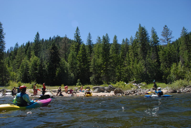
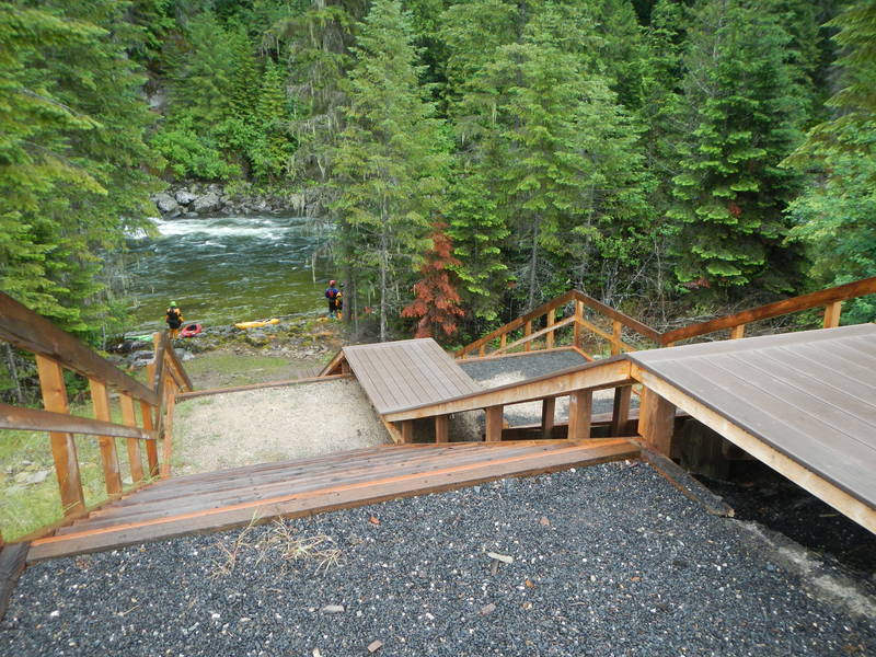
Take out is on river right just upstream of the Wilderness Gateway Bridge at Highway 12 mile 122.7.
Jul 22, 2024
Fun trip on the Upper Lochsa. It's at the lower end of the range but still plenty of water and a lot of fun. Mostly class III but with several rapids that are still class IV. The trip from White Pine to Wilderness Gateway was just under 3.5 hours on the water with a few stops along the way; we could have done it in less than 3 hours with no stops.
Mar 1, 2024
A highway construction project will reduce traffic to one lane with delays up to 30 minutes through summer 2024. The Lochsa Ranger Station to Holly Creek Project is anticipated to begin March 4th and to close by mid October. The project begins at milepost 121.4 (approximately a mile upstream of Fish Creek access) and ends at milepost 130.3 (approximately a mile upstream of Nine Mile access on U.S. Highway 12. Wilderness Gateway Campground is at mile 122.7.
Apr 11, 2012
new online whitewater guide for idaho and montana area paddling - check it out! www.montanaeddyhop.blogspot.com http://www.fs.fed.us/rl/clearwater/VisitorInfo/Assets/pdfs/Lochsa\_River\_Guide.pdf
Upper Lochsa whitewater rapids:
MP 139.5 White Pine River Access
MP 139.3 Class II-III
MP 138.5 Class II-III
MP 137.4 Eye Opener Class II+-III+
MP 136.3 Lost Creek Class III+-IV+
MP 135.5 Eagle Mountain Class III+-IV+
MP 135.4 Eagle Mountain Pack Bridge
MP 135.3 Lower Eagle Mountain Class III-IV
MP 135.1 Class II-IV
MP 134.5 Fake Onno's Class III-IV
MP 134.0 Keep Moving Class III+-IV
MP 133.5 Stanley Creek Class III-IV+
MP 132.9 Mile 133 Class III-IV
MP 132.6 Mile Long Class III+-IV
MP 132.0 No Sweat Class III-IV
MP 131.6 Lone Pine Class III+-IV
MP 131.3 Holly Creek Class III-IV
MP 131.2 Castle CreekClass III+-IV
MP 130.3 Triple Hole Class III+-IV
MP 129.4 Class II-III
MP 129.0 Mile 129 Class III-IV
MP 129 Ninemile River Access
MP 128.5 County Corner (Highway Station) Class III+-IV
MP 127.9 Class V - Class III+-IV+
MP 126.7 Log Jam Class III+-IV+
MP 125.5 Pass Creek Class II-III+
MP 125.0 Mile 125 Class II+-IV
MP 124.7 No See Um Class II-IV
MP 124.1 Tenpin Alley Class III+-IV+
MP 123.5 Class II-III
MP 123 Turnoff to Wilderness Gateway Campground
MP 122.6 Wilderness Gateway Bridge
MP 122.0 Boulder Creek Rapid - Class III-III+
MP 120.3 Fish Creek - Class III+
MP 120.1 Fish Creek River Access