Elkhorn Creek
Forks of Elkhorn, Church lot below US460 Bridge to Knight's Bridge on KY1900 (6 miles)(Elkhorn Gorge)
| Difficulty | II(III) |
| Length | 7.6 mi |
| Avg Gradient | 10 fpm |
| Gauge | Elkhorn Creek Near Frankfort, Ky |
| Flow Rate as of 39 minutes | 318 cfsI-IIlow runnable |
| Reach Info Last Updated | November 14, 2024 |
The 'Elkhorn Gorge' begins at the confluence of the north and south tributaries at the Forks of the Elkhorn bridge on US 460 just east of Frankfort (about a 45 minute drive from Lexington).
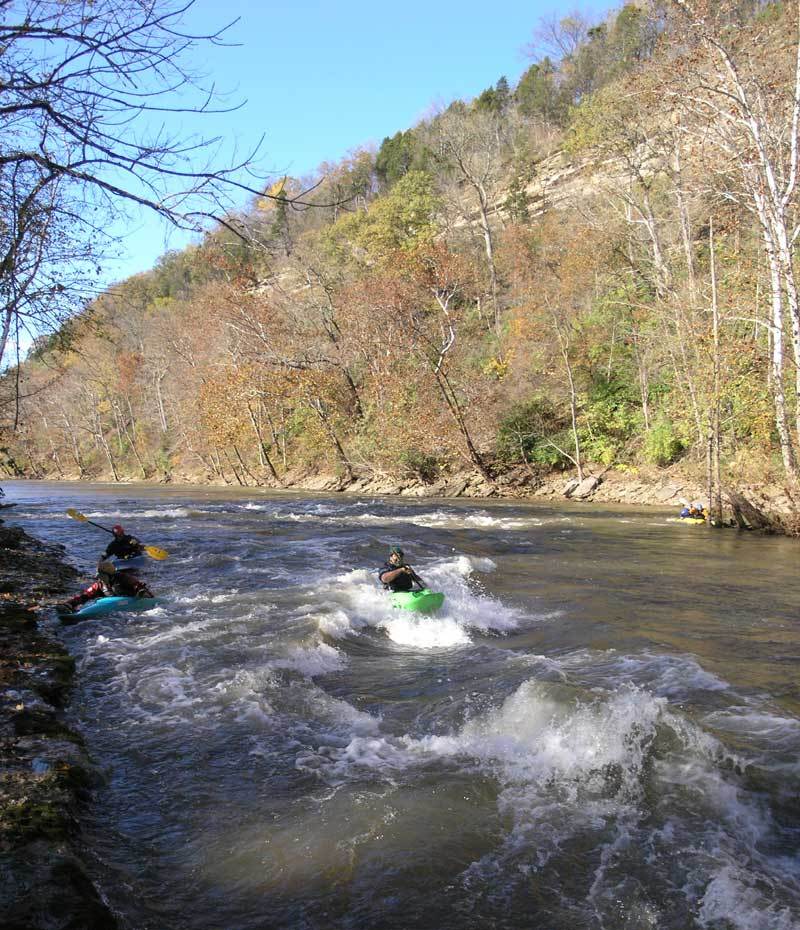
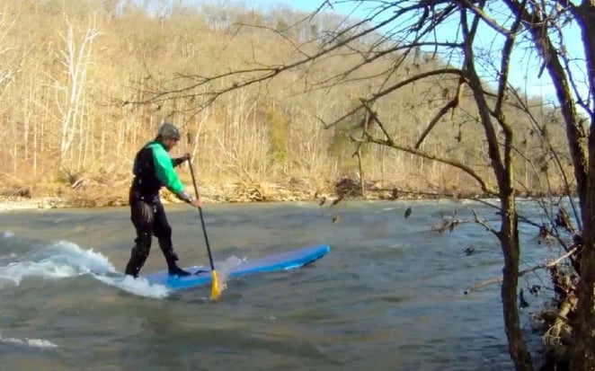
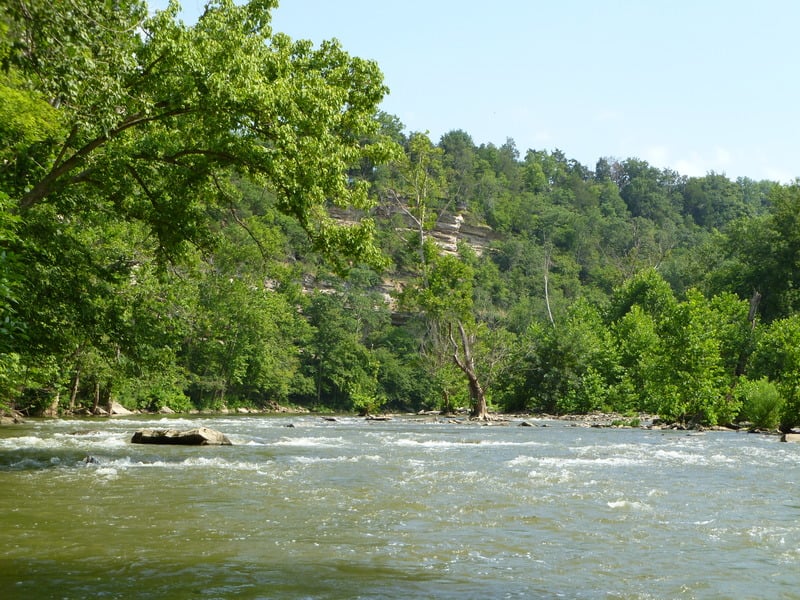
Filled with class II (and occasional class III) rapids, the Elkhorn has plenty to satisfy the novice or experienced whitewater paddler, making it an excellent ww classroom and play run for paddlers from Kentucky, Indiana, and Ohio.
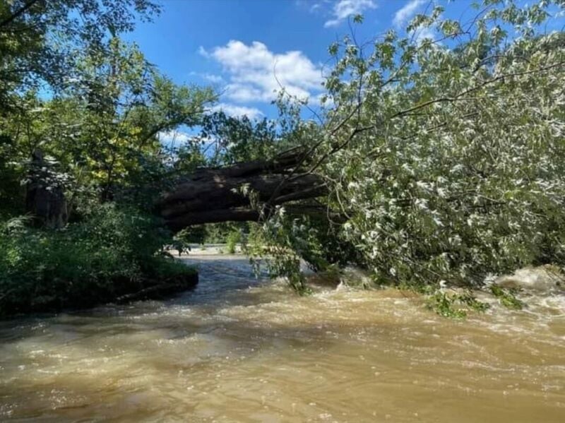
Wide enough to generally stay free of strainers, the Elkhorn has a large watershed, allowing it to keep its flow longer after a rain when others in Central Kentucky have dropped too low.
The Jim Beam Distillery dam was removed in the summer of 2021, so paddlers no longer have portage around a deadly low-head dam.
To read more about the creek (and how the takeout land was obtained, and history of the paddler/land-owner interactions), click this link for the online American Whitewater Journal article that appeared in the March/April 2000 issue: >>> 'AW Acres: The Elkhorn Saga' <<<.
Putin: Forks of the Elkhorn Bridge on US 460 about 3 miles east of Frankfort,KY. As announced on the BWA website in October, 2021, parking and put-in at the church is now officially legal! Pay your parking fee at the honor box: $5 for BWA members, $6 for non-members.
Shuttle: From the put-in, take US 460 west 1.1 miles towards Frankfort. At the stoplight, turn right, onto KY2822/Steadmantown Lane. Go about 1.2 miles to a stop sign. Go right to continue on KY2822/Steadmantown Lane for about 1.9 miles to a stop sign at Peaks Mill Rd (KY1900N). Turn right and go 2.3 miles. Look for AW Acres takeout, on the left, just before Knight's Bridge over the Elkhorn.
Other Information Sources (click links!):
...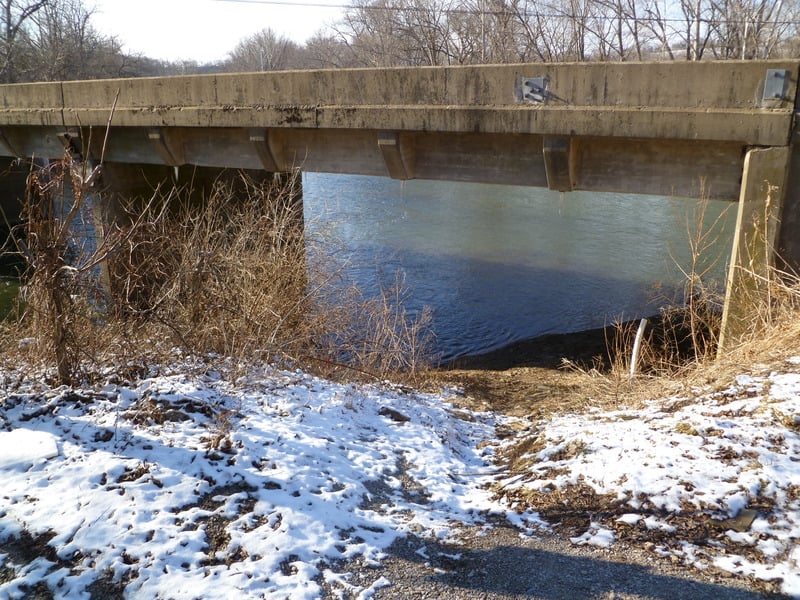
As of October, 2021, negotiation has been successful to allow parking and put-in at the church (north/downstream of the highway bridge).
Pay at the honor box! (DON'T CHEAT ON THIS AND BLOW IT FOR ALL BOATERS!)
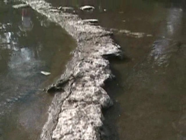
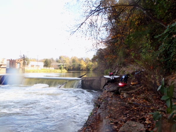
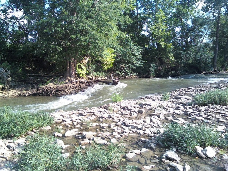
Within sight of the put in are several small rapids. The middle one has the remains of a low dam arching across the river. With good flow, this low structure forms Church Wave, a fine beginner's play spot.

The river curves gradually right around the Jim Beam Distillery. These bridges used to serve as signal to move river-left to portage a low head dam.
REJOICE! That is no longer necessary.
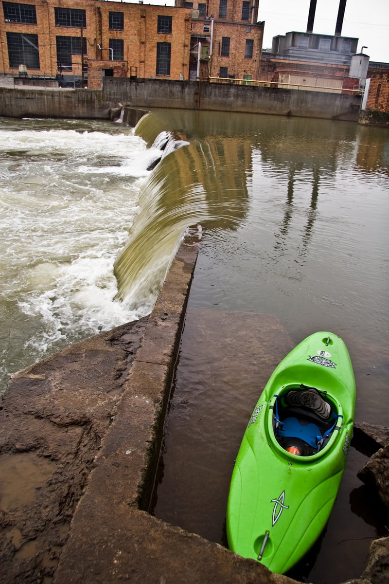
In summer of 2021 this dam was finally removed. We leave the photo to remind folks of the many years of portaging, and the unfortunate deaths which had occurred here and elsewhere at similar low-head dams.
Just byond the location of the former dam, a significant rapid can be run down the middle.
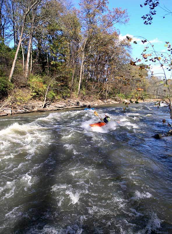
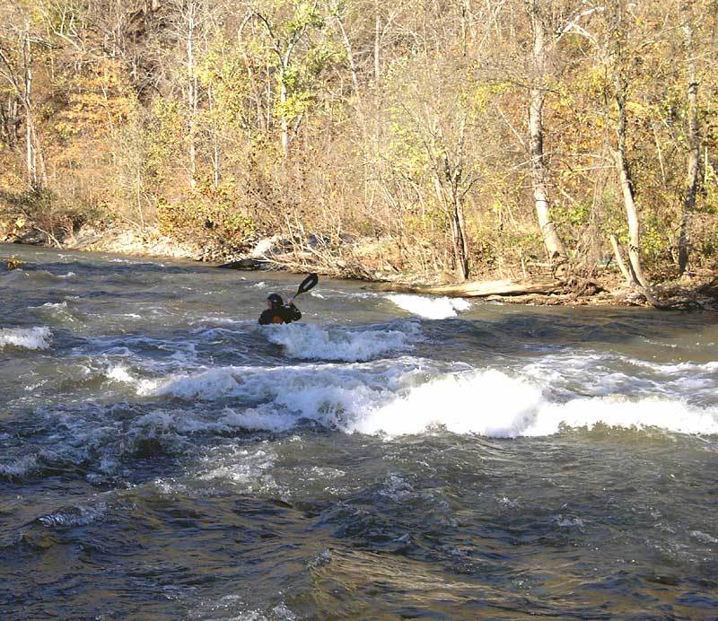
S-Turn Rapid contains a diagonal wave which may reach maximum height in the 1500-2000 cfs range.
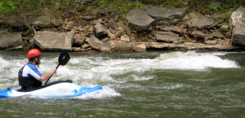
This hole can pack a punch. Possibly class 3 at higher flows.
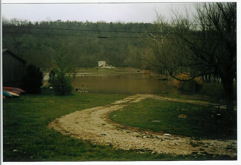
Pass under the Peaks Mill Road bridge (KY 1900), then take out on river left.
The first take out (very close to the bridge) is for Canoe Kentucky customers.
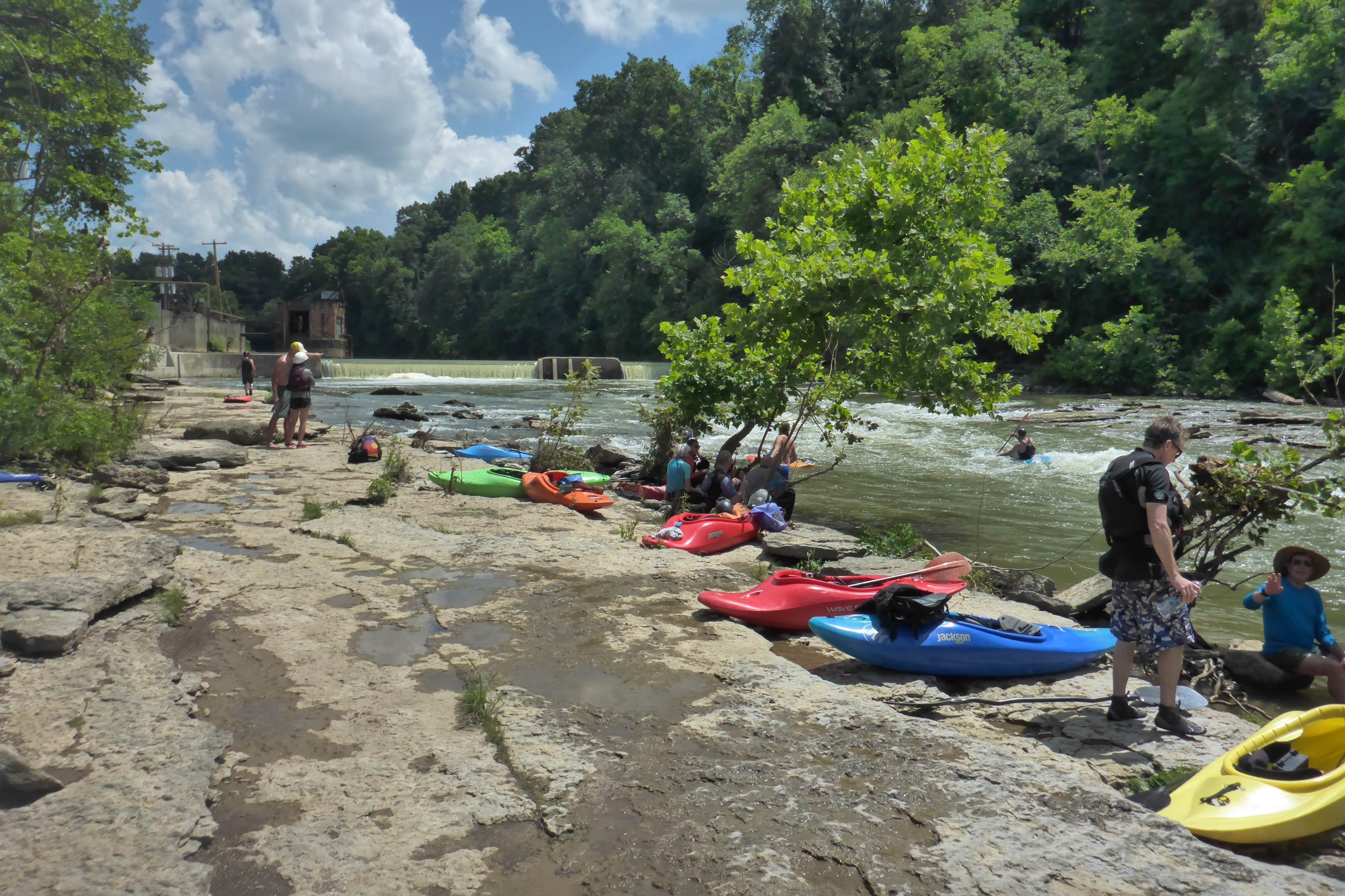
The public take out is about 100 yards below the bridge. The take out is owned by American Whitewater and managed by local boating clubs: Bluegrass Wildwater Association, Vikings Canoe Club, and the Elkhorn Paddlers. There is a sign with a Venmo QR code on it where you can donate money to American Whitewater to help maintain this take out for the whole community.
The photo shows the field flooded during very high water.
(Subsequent improvements have been made here.)
May 31, 2019
Dilution was the solution and so the water in the Elkhorn should be fine.