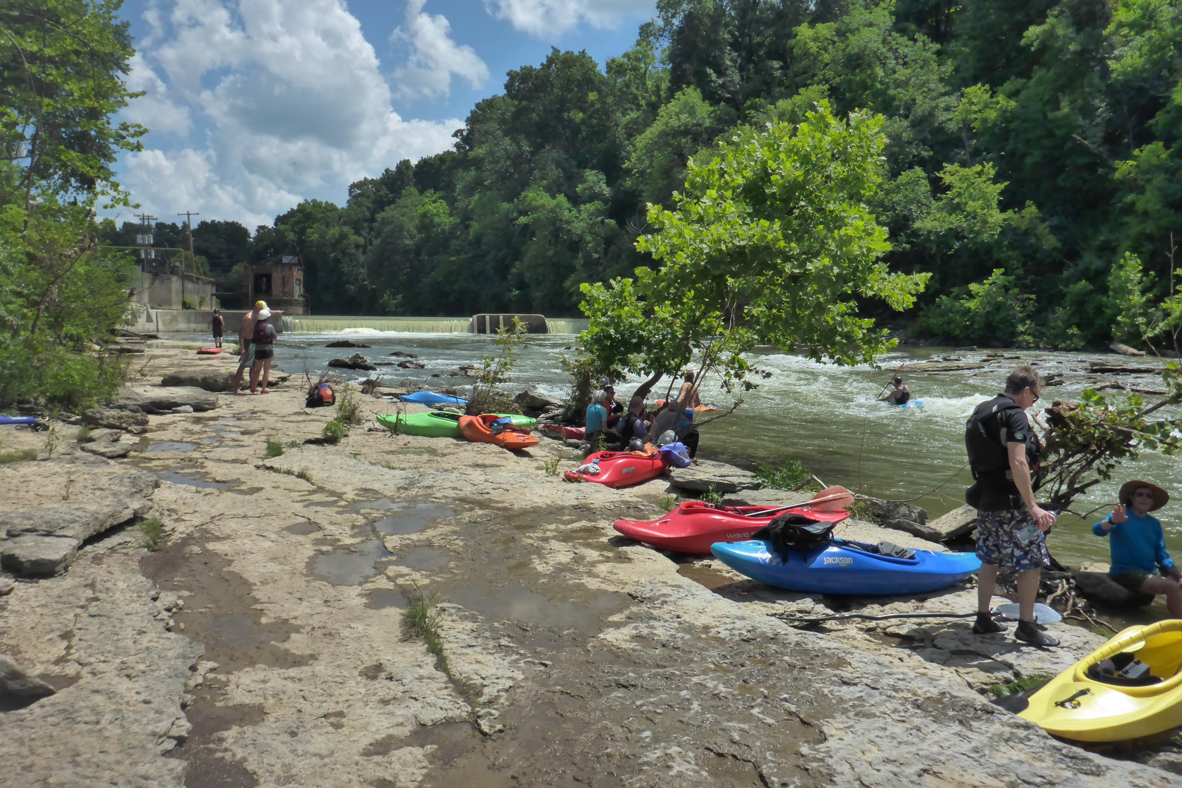
Elkhorn Creek
Forks of Elkhorn, Church lot below US460 Bridge to Knight's Bridge on KY1900 (6 miles)(Elkhorn Gorge)
April 2, 2001
| Reporter | Barry Grimes |
Info about all the various Elkhorn Gauges.
There are 3 'visual gauges' for the Whitewater section of the Elkhorn:
The US 460 Forks Bridge - this is the traditional paddlers gauge and is on the S. Fork of the Elkhorn tributary
The N. Fork bridge - this is a gauge that the local outfitter, CanoeKY has painted and roughly corresponds with the US 460 Forks Bridge.
The Knight's bridge gauge - this is at the 'AW Acres' takeout and was painted to read similar to the US 460 Forks gauge but it's typically a little higher.
Using the US 460 Forks bridge, anything around 6' - 10' usually means it's too low - at least for many wwpaddlers who don't like to scrape through rocky riffles (which is essentially all that remains of the 'rapids' at this level) or have to slog through the copious number of flatwater pools between the drops.
The US 460 Forks gauge has been in standard use by wwpaddlers for years, but in reality does not give consistent flow readings. A 10' reading in the spring can be way different than a 10' in the summer. This is because the US 460 Forks gauge is mostly measuring the S.Fork tributary and will often 'under report' the additional flow that the N. Fork is contributing.
In addition, there are two USGS gauges that have been used to determine flow on the Elkhorn Gorge:
N.Fork Elkhorn @ Georgetown - this one is way upstream on the N. Fork tributary and was the satellite gauge of choice before the arival of ...
Elkhorn Creek Near Frankfort - This is the new USGS real time flow gauge on the creek and (IMHO) the best to use because it accurately reflects both the N. and S. fork tributaries.
Based on the 'Elkhorn near Frankfort' USGS gauge I have put 500cfs as minimum wwfun and around 2500cfs as maximum.