Pithole Creek
Pithole to Oleopolis
| Difficulty | III |
| Length | 6.7 mi |
| Avg Gradient | 44 fpm |
| Gauge | Woodcock Creek at Blooming Valley, Pa |
| Flow Rate as of 45 minutes | 4 cfsbelow recommended |
| Reach Info Last Updated | March 15, 2009 |
I have not run this reach yet, but it sounds like a lot of fun. I am hoping to run Pithole with a couple guys this Spring. It is not far from Franklin and if you get there and there is not enough water, it should not be a wasted trip as the East Sandy will be running. For right now, I shall forward the information I do know from the 1989 edition of the Canoeing Guide to Western Pennsylvania and Northern West Virginia...
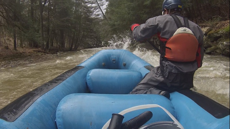
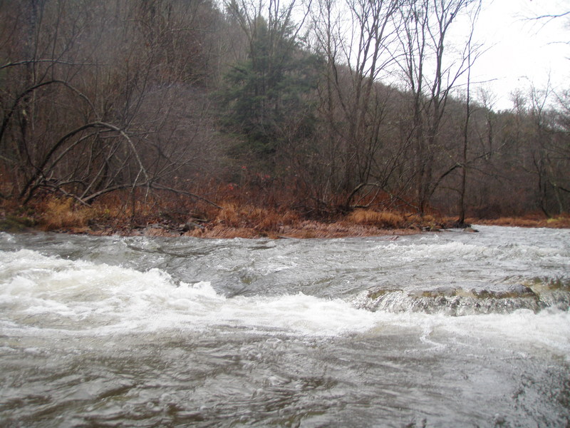
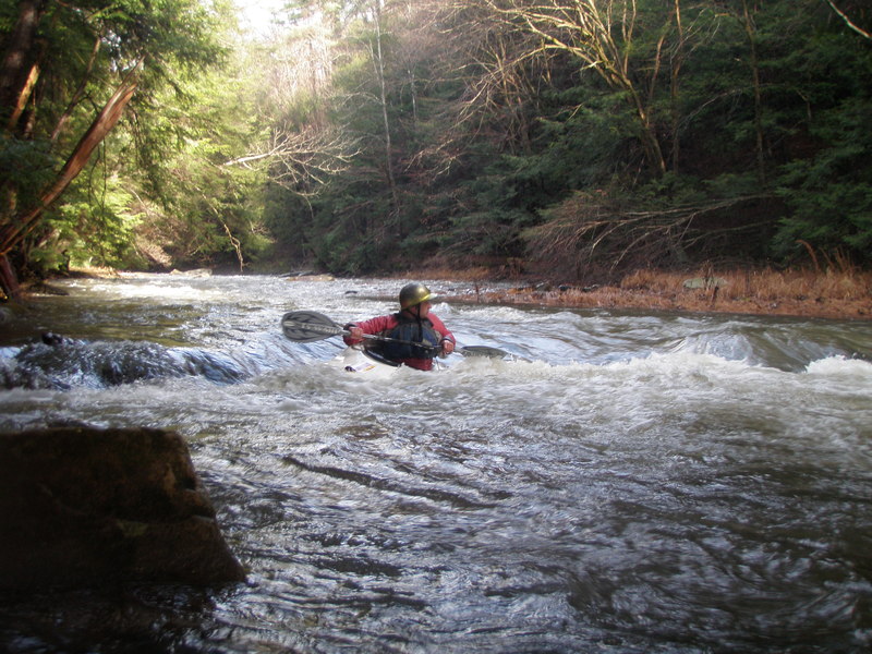
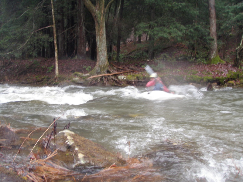
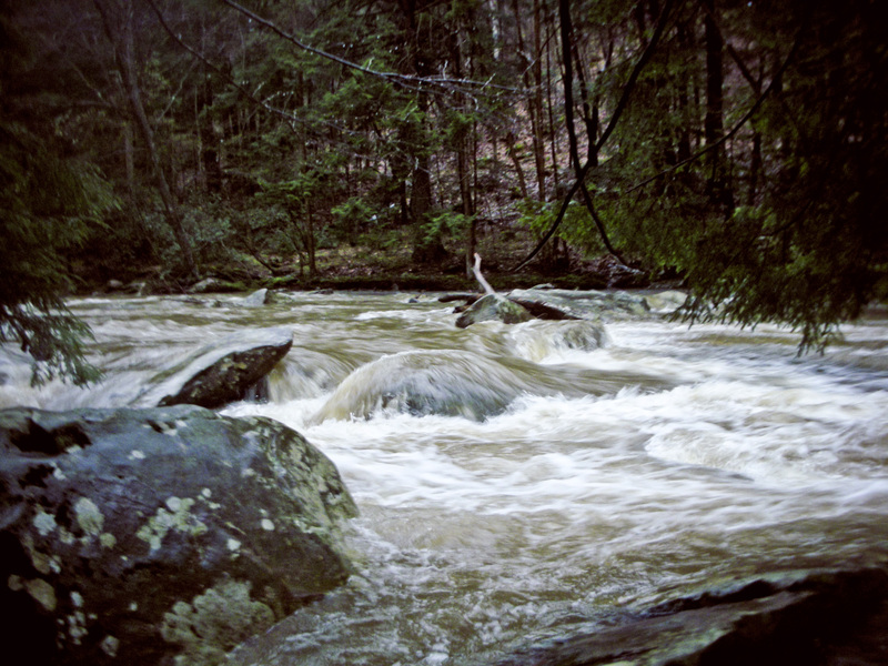
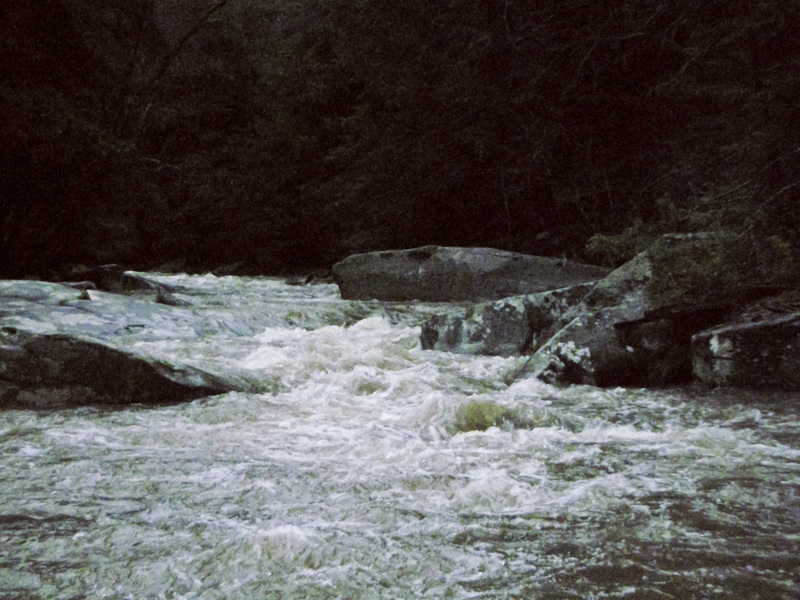
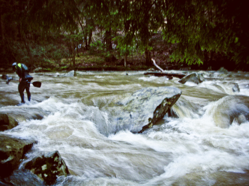
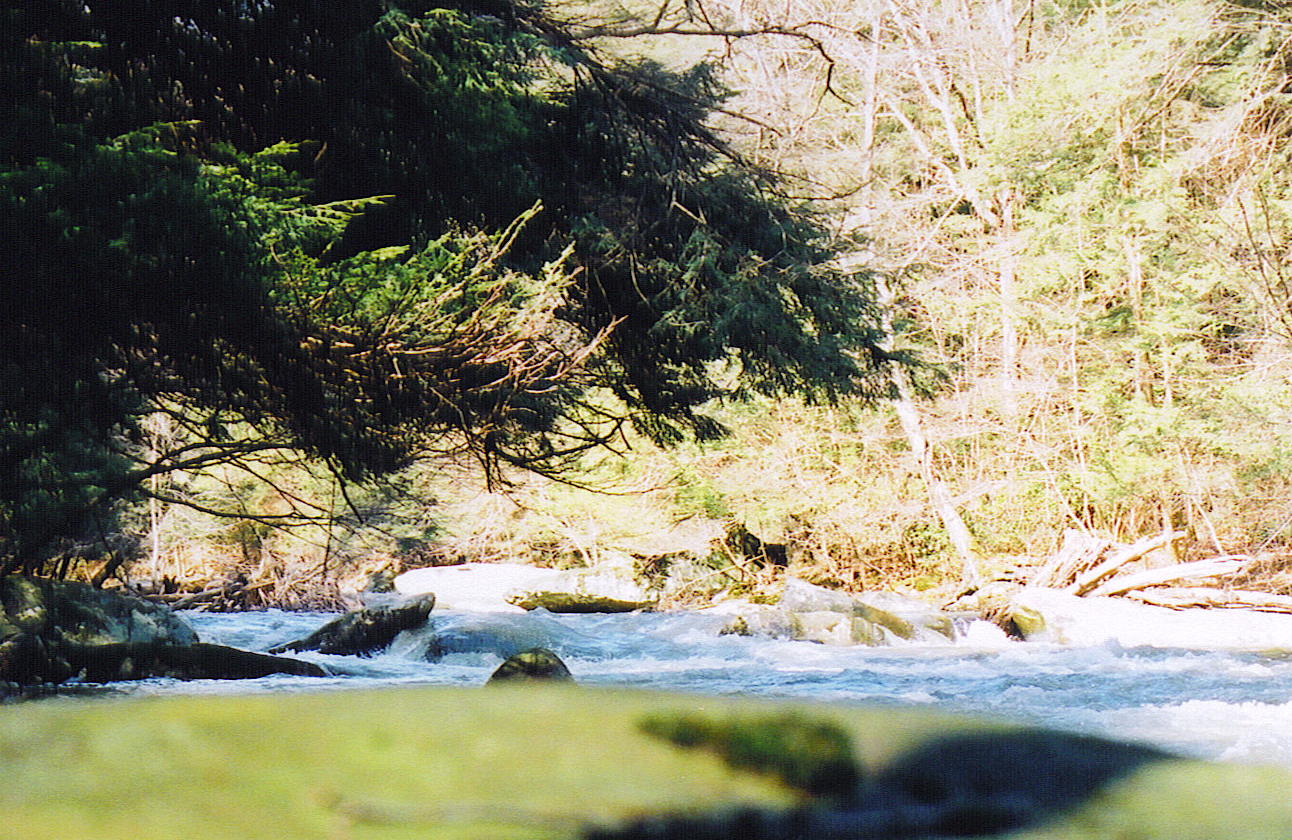
'Description: This small stream drains an area that once boasted a major oil community that is now a ghost town. A mostly wilderness hemlock valley is all that remains with a stream that paddlers are slowly discovering. The run is roughly split by a stone bridge on a secondary road east of Plumer. The run starting at Pithole offers a very small, meandering headwater stream with gradient increasing towards the stone bridge. Active oil and gas wells can be found along the otherwise deserted valley. About a mile below the stone bridge, a blind left turn leads to a 2 - 3 foot ledge. This is the first in a series of half a dozen that punctuate the next 1.5 miles of almost continuous Class III rock-dodging. At medium levels all offer straight passage, but this is not always obvious, so it is worth scouting them. The stream gradually flattens out again for the junction with the Allegheny, offering good whitewater to within sight of the mouth.
Difficulties: Potential for tree problems. First mile below the stone bridge is very continuous. Several narrow drops have potential for pins.'
Stephen Zerefos and Rand McFarland or others: If you have any more information you can add to this, please let me know and I will add it. My email address is jj14231999@yahoo.com
Jul 29, 2021
I paddled this years ago (in college at the time) with 2 other kayaks. It was a blast. I had no idea we had such an awesome creek in the local area at the time. I do recall lots of potential for strainers including one just after a 90 degree turn in the creek. The last half is the best with near continuous whitewater. Lots of boulders! If in doubt, scout. Enjoy!
Apr 9, 2018
Nice day to run Pithole at medium/low water.
Dec 2, 2011
Overall a fun easy paddle. I paddled the section from Pithole to the Allegheny at a level of 4.85 on the Oil Creek gauge. I wouldn't reccomend running this creek below that level as some sections were a bit scrapy. I would imagine at around 6 or 7 ft on the OC gauge this paddle would be a blast. Scenic and an easy shuttle, this is a fun little run if we get enough rain. There didn't seem to be much action between Pithole and the Eagle Rock Rd stone bridge. Definitely more action below the bridge. Watch out for strainers/trees!