Farmington, W. Branch
2. New Boston(Iron Bridge to American Legion Field)
| Difficulty | III |
| Length | 2.9 mi |
| Avg Gradient | 75 fpm |
| Gauge | West Branch Farmington River Near New Boston, Ma |
| Flow Rate as of 39 minutes | 2.26 ftbelow recommended |
| Reach Info Last Updated | May 23, 2018 |
The Farmington is often run during the autumn drawdown of Otis Reservoir.
ChuckB, on the Northeast Paddlers' Massage Board, says:
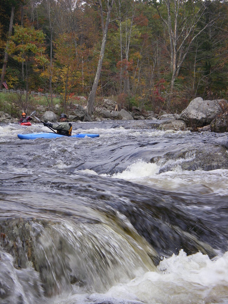
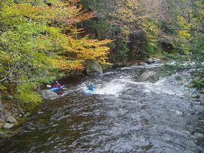
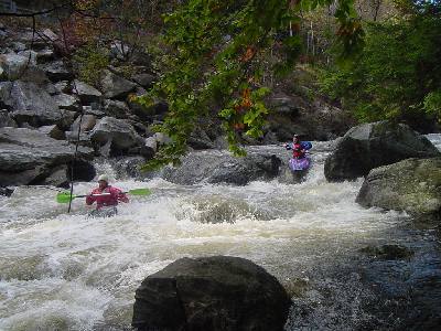
'The middle section is probably the one most commonly run and is rated conservatively as class III-IV. It is actually pretty steep, averaging about 75 ft/mi drop, but the low volume keeps the pace down so it isn't that difficult. It is very rocky and technical, but the moves aren't hard to make because the current is fairly easy, at least at lower levels. There are, I think, three spots that are a little harder than the rest which probably contributed to the IV rating. It's probably overrated, but this section is probably tough for canoes as there is not much maneuvering room. The common takeout for the middle section is at the American Legion field downstream of the New Boston bridge. There may be a fee involved but I can't remember.
'Each of the sections ( Bear's Den Section, New Boston Section, and Upper New Boston) is a couple/few miles long and any one or two or three of them can be run together. Those three harder spots are pretty cool, especially one that has a four foot drop 'cause you can watch your probe disappear for a moment before reappearing behind the horizon line (unless you are the probe). This is a great river to work on your eddy hopping and boat scouting skills. Keep an eye out for strainers as the narrowness of the river could easily make a strainer impassable. There is not much in they way of play on this river, but idiots like me still try as evidenced by the scratches on my helmet and the gouges in my boat. The release level is really boney so pray for some rain to supplement it.'
The Farmington releases come down out of Otis Re
...
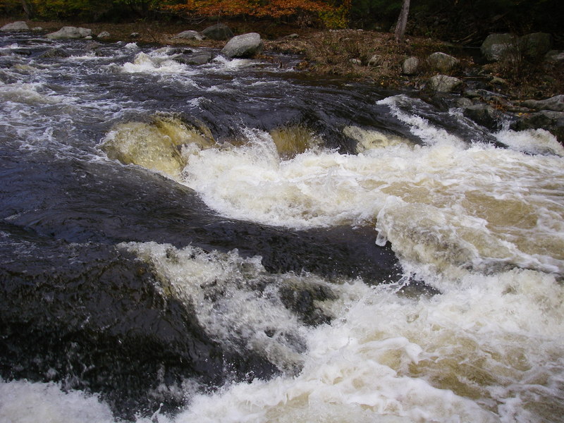
A series of 3 to 4 foot ledges closely spaced. Mostly boat scoutable by experienced paddlers. When the level exceeds 450 cfs you may want to scout from shore if you are not familiar with this section.
Oct 21, 2012
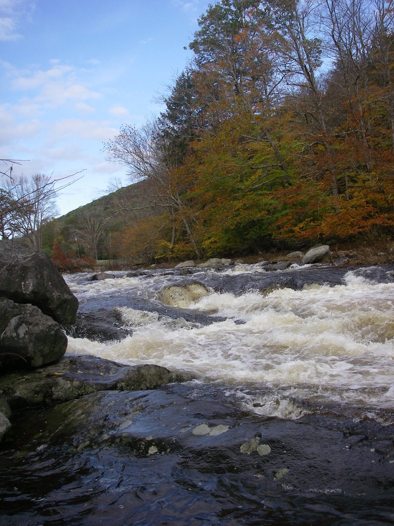
looking upstream at corkscrew rapid after hurrican irene; about 3.7 ft.