Antietam Creek
3) MD 34 to Potomac River(Lower Antietam/Burnside Bridge Section)
Oct 9, 2021
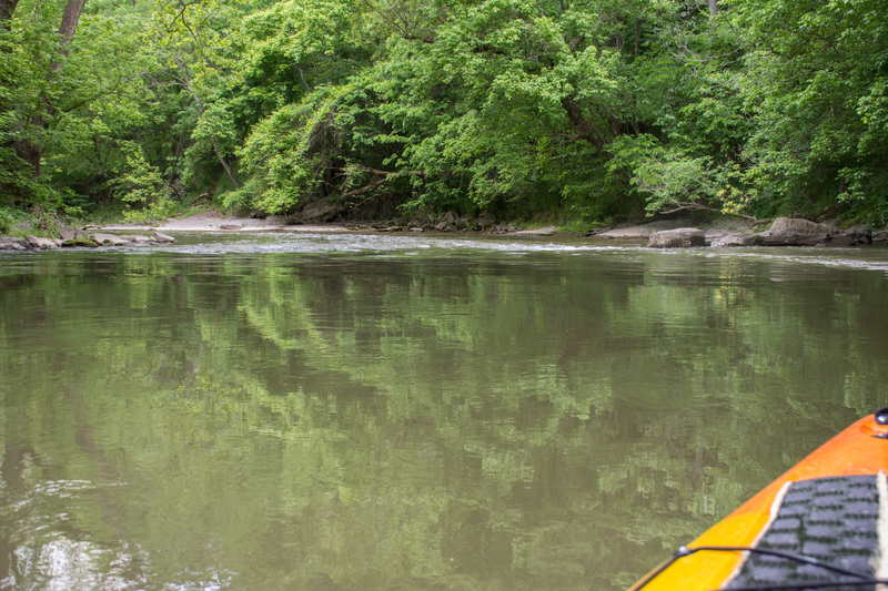
We ran this at a gauge height of 2.8' today, 09 Oct 2021, in packrafts, entirely smooth trip. Very pleasant paddle throughout, no strainers present and no portages required. Biked back up to the put-in at the bridge on MD-34, with a few hills but easy ride. (Note that Sherrick Farm Trail from Burnside Bridge Rd to MD-34, which some apps give as the fastest route by bike, is not actually open to bikes; go into Sharpsburg then out 34 instead.)
Dec 6, 2020
Have recently run this section at 2.3 ft in October 2020 (lots of dragging, but possible) and 2.65 ft in December 2020 (much better). No strainers on bridges. Pretty easy. The higher water level obviously made the dam smoother. There's just one spot to play around/surf/learn. December trip was showing 15 mph winds, but with the exception of about 2 minutes of the trip down, there was no wind, likely from bank/tree protection. This made a huge difference for a 45 degree day.
Jul 12, 2018
Went down this section on June 16th, 2018. Noticed that a large metal canoe had sunk and wrapped
around a rock about a mile and a half before the takeout, creating a new rapid, now dubbed 'Manard
Falls'.
May 19, 2017
Waterfall and rapids on Antietam Creek
Jun 7, 2016
Ran it on 28 and 29 May: some hazards but easy mostly obvious and easy to avoid. Take the dam all the way to the left.
Jul 3, 2011
The previously mentioned river-wide strainer below Burnside has been removed, however there is still a TON of wood on this stream right now. Both the Keedysville Rd bridge and the Rte 34 bridge have massive log jams blocking most of the usual channels. Keedysville bridge is blocked on all but the extreme right passage, and the Rte 34 bridge is blocked in the middle. The left channel has some strainers in it that are avoidable, but the gravel beds downstream before the next rapid will give you fits if you go that way, stay to the right under both bridges.
Below Keedysville Rd Bridge where the river makes a sharp bend to the right, there is a strainer/tree across the entire creek. It is passable over the middle where the trunk dips under the surface of the river, but only at or above 2.7' Anything lower and you WILL need to carry on river right. The only way I made it over today was by hitting the low-spot at full speed with my bow popped up.
We ran today at 2.65-2.7' from Devil's Backbone down to Burnside Bridge and it was very scrape-y. Recommend at least 2.8' for a scrape-free run.
May 5, 2011
Colin has it right, Ran this on 5/1/2011 and there were no strainers. The river is moving along really well right now, and I would factor on about 2/3 of the normal trip time. Most of the normal stopping points are underwater right now.
Make sure you check out this link to the antietam creek canoe club. This map shows exactly what to expect.
Apr 10, 2011
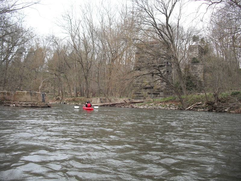
The old B&O railroad bridge pilings across Antietam Creek. This line was the Washington County branch line which was taken over by CSX and abandoned in the 1970's according to online sources
Apr 10, 2011
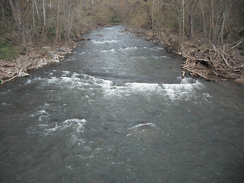
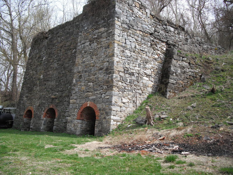
Class II Furnace rapid upstream of the Harpers Ferry Rd. Bridge. Final rapid of this section.
Apr 10, 2011
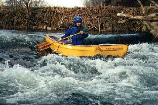
Who knew rec boats could surf so well?!
Apr 10, 2011
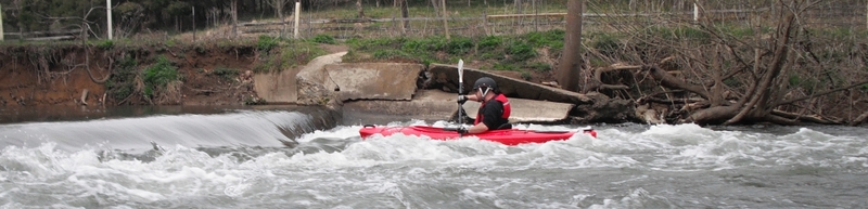
The actual furnace from which Furnace Rapid takes its name. From the 17th-18th century. Ruins of the impound dam, wheel pit, and other works make up the upper reaches of the long Class II.
Apr 10, 2011
Ran today at 3.22' from Devil's Backbone down to the Potomac take-out. Minor wood accumulation on piers at Keedysville Rd. and Rte. 34 bridges, but easily noticed with clear channels on either side.
Great beginner/novice run w/ good surfing at dam below Burnside Bridge. Furnace rapid was a blast.
Mar 22, 2011
No new wood 3-20-2011.
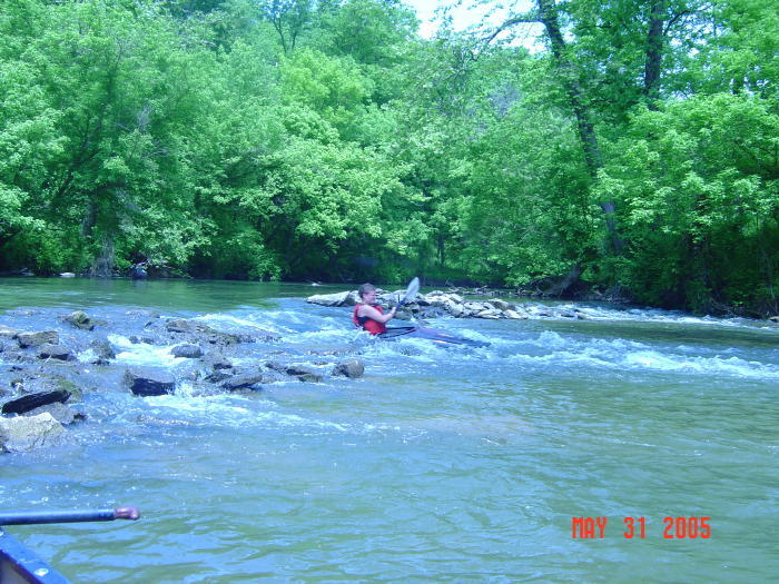
May 30, 2005
The section from Devils Backbone (rt 68) to Rt 34 is a nice training area for rookies
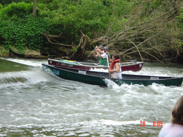
Somebody get this guy a smaller boat!
He did great !
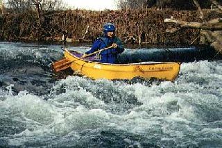
Jul 25, 2004
We always spend a half hour or so banging around the hydraulic below the 2 foot dam
Jan 1, 1900
Photo courtesy of the Monocacy Canoe Club.