Octoraro Creek
3. New Bridge Road to Moore Road, Richardsmere(Lower Octoraro)
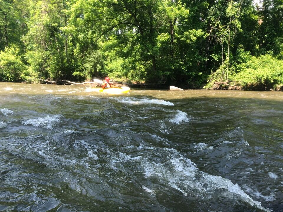
August 21, 2011
| Reporter | jim walraven |
Could someone please explain why the gauge used for this run is 'Brandywine Creek at Chadds Ford, PA.' I looked on Google earth but never found a any connection to the Octoraro Creek. There is a gauge found on the USGS site for Octoraro Creek:
http://waterdata.usgs.gov/md/nwis/uv/site\_no=01578475&PARAmeter\_cd=00065,00060,62619,62620,00062,00054
Shouldn't we use this one instead since it is on Octoraro Creek?