Octoraro Creek
3. New Bridge Road to Moore Road, Richardsmere(Lower Octoraro)
Aug 23, 2018
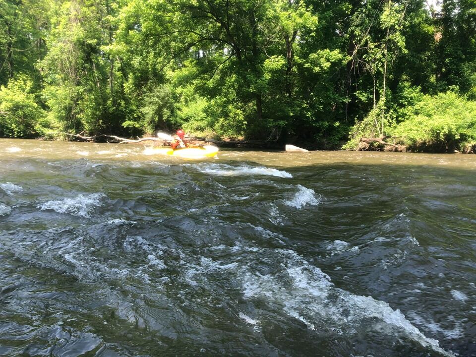
Ran 8/21/18 @ 3.6 ft on gauge. No portages required, no stream-wide strainers, and only one shallow spot. Fun riffles and boulder gardens with a single 1 ft drop about half way. Scenery is great, very little hints of civilization. It only took us about 1.5 hours to travel the 6 miles.
Jun 5, 2017
Gauge switched to Octoraro at Richardsmere
Aug 21, 2011
Could someone please explain why the gauge used for this run is 'Brandywine Creek at Chadds Ford, PA.' I looked on Google earth but never found a any connection to the Octoraro Creek. There is a gauge found on the USGS site for Octoraro Creek:
http://waterdata.usgs.gov/md/nwis/uv/site\_no=01578475&PARAmeter\_cd=00065,00060,62619,62620,00062,00054
Shouldn't we use this one instead since it is on Octoraro Creek?
Jun 7, 2009
Ran this stream on April 17, 2009, gauge at 3.0, a little low, but not terrible as my group are novices and this made for a great training run. The description is accurate, the most fun is in the small gorge section below the Rte. 1 bridge which had just enough water in it that day. I figure that about 3.3 on the gauge and up will please most paddlers. LK
Jul 29, 2008
usgs has a station on (octoraro: #01578475) new bridge road. there has been a lot of vandalism at this site. if you see vandalism in progress or damage to our gage please call usgs@ 717-730-6987 thanks
May 17, 2007
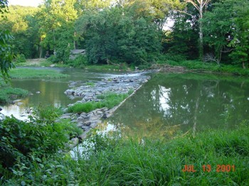
The New River Ranch Dam was removed in 2005.
The following article talks about the removal and has pictures: http://www.bayjournal.com/article.cfm?article=2652. The Dam got it's name from the 'New River Ranch' country music park on the east side of the river just north of the dam. It was open through the 1950's and early 60's. If you are curious some good info on the park is at this link:
http://www.npr.org/templates/story/story.php?storyId=1280910
Sep 27, 2004
can anyone give me some info on this creek please
Jul 13, 2001
This dam can form a great hole at high levels, and a big wave at flood stage. It is located 200 yards above the Route 1 bridge in Cecil County.