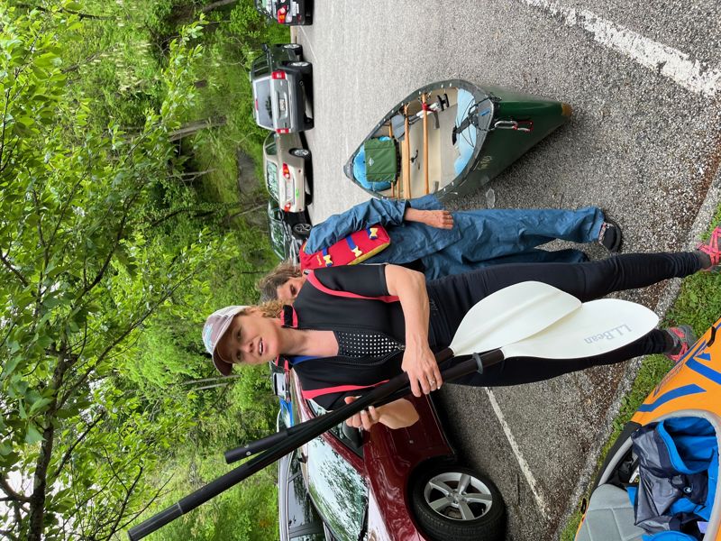
Patapsco
2. Daniels Dam through Elkridge(Old Ellicott City, Oella & Former Bloede Dam section)
May 15, 2022
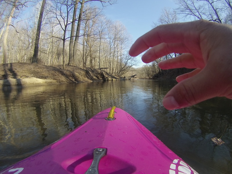
My wife got an inflatable from REI (more for flat) and I was in a 20 year old Perception, which I have rearly used since we usually ride an OC2. Our friends were in our Old Town Appalachian.
At 264ft, the water was adequately high enough and fast enough for good fun. At that level, there are several rocks and rooster tails that pop up in the rapids and required quick reaction.
Doughnut rapid was a straight class II+ and best run left side to center.
After that, there were several easy class I-II rapids with one near the old Thistle dam being longer.
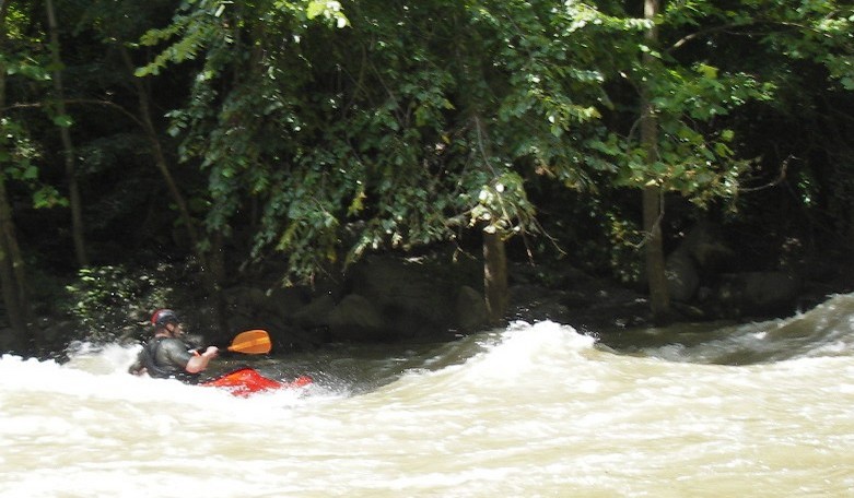
The pipeline hazzard was in play and skirted on river left.
After Ilchester Rd, we started the decent on Blode Rapid. The river has changed since I last ran it last Spring. Right after the foot bridge, the channel bent left and had a sweeping 8ft wide drop into pillowing rock. The channel bent hard right, then back left and continued down the rapid. There was a medium tree stainer to avoid on river right and was part of the main channel. Our friend flipped the OC2 in the first S send up top, and we picked them up before the second half of the rapid. Several pieces of metal trash was seen in the eddy on river left. I'm calling that a class II+, and would be a III with more water. I think this rapid is still changing over time.
The 2nd half of Blode Rapid was bouncy and technical. About 2/3rd thru, there is a large rock in the center of the river and all the water runs right into it. We dodged left and a quick right. Again, a class II+ and maybe a III over 1000 cfs. Lots of smaller boiling holes in that lower part.
From there to Patapsco park and take out was swift and we saw 2-3 extending strainers pushing into the rapids from the banks.
Estimated 6 miles, time 2.5hrs.
Best shuttle is rt 166 to Frederick rd, 144.
Parking / Entrance was $3 a person on the weekend.
Oct 31, 2021
Alert: Suicide proper at around 1150cfs (116.5' on Old EC gauge) contains a turbulent and retentive hole on the far left. I had a chance to experience it first-hand this morning after attempting to boof from far left and nearly got caught there. Most people probably already avoid the left line anyway due to supposed strainers. Yet in reality, the strainers aren't always there at this level; however, the hole (and the eddy trap mentioned below) is there and everyone should take caution.
How it forms: The hole forms from the the left and the middle currents converging just left of center, producing a retentive hole just to the left of that convergence. To make things at the bottom of this pour over even more interesting, there is a tiny eddy behind a large rock on river left that at lower levels provides just enough space to eddy out. At this level, if you drop in over the far river left side of the convergence, your boat may get pushed into this small space, allowing the boat to get stuck and the stern to be dragged back into the pour over, which looks very retentive.
Hope this adds needed beta on the left line. Center is okay, but I would not recommend going too far left unless you scout it out with others and know what you're doing. Much above this level and it washes out.
Mar 13, 2019
[Hollofield gauge was restarted by USGS]. There is no longer a USGS Hollofield gauge. The North Branch of the Patapsco at Cedarhurst USGS gauge http://waterdata.usgs.gov/nwis/uv?01586000 can give you an approximation (it correlates fairly well with the old gauge). I prefer running it at higher levels (above 500 cfs). You should be good to go at 400 cfs and above on the North Branch gauge. Another good indicator is that if there is a wave train just past the Main Street Bridge in Ellicott City, then the Patapsco is running. You need about an inch of rain to get the Oella section at a 'fun' level. It is very flashy, so catch it while you can and scout before you run it.
Dec 22, 2018
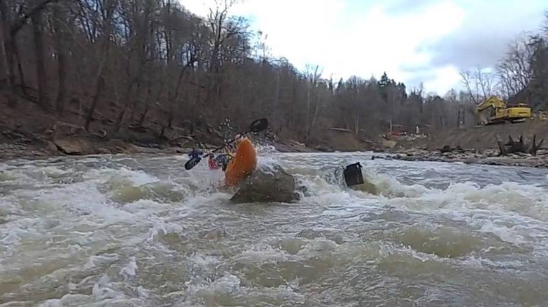
Andrew Froom boofs a rock next to construction steel
Mar 22, 2017
Ran this yesterday at about 180 cfs and 1.8 at the Hollofield guage. Went from below Daniels Dam to Old Frederick Bridge. Had to scrape over quite a few spots. Still fun as first season run. At 2.0 or above should be ok. 200 cfs is a good threshold for any section below Woodstock Rd. put in. Good area for beginners at low levels. Use a boat that has good tracking as there are decently long stretches of flat. Lots of snags and interesting debris left over from the August 2016 Flood period.
Jan 26, 2017
The July 2016 flood has indeed changed the 'Doughnut Bend' Rapid. Now, as you go under the MD 144 bridge at Ellicott City, take the leftmost arch. Stay to the left for the first part of the rapid, crossing to the center right at the bottom where the cliffs are.
Aug 15, 2016
Changes to the river have occurred to both Oella Falls and the rapids below Main Street. Mostly now channelized to river left with a good surf wave at certain levels.
Aug 1, 2016
The 120 cfs minimum that this site uses for this run probably refers to the Cedarhurst gauge, which was the gauge used for this run before the Hollofield gauge was re-activated. For the Hollofield gauge, 200 -- 218 cfs would be a better minimum.
May 11, 2016
There is an error in the minimum level indicated in the river description. The 120 cfs minimum referred to the 'Cedarhurst' gauge which was used for this run before the Hollofield gauge was reactivated. If you're using the 'Hollofield' gauge, the minimum level for this run is 'Hollofield' 2.0 or 218 cfs. 120 cfs at 'Hollofield' is just scraping rocks.
Apr 6, 2014
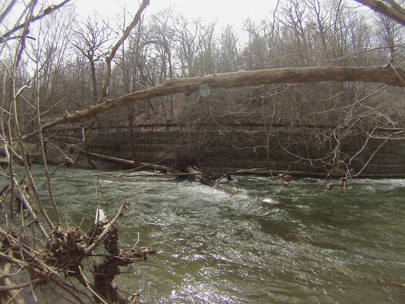
After bloede dam about 1/4 mile past the swinging bridge on the right
Apr 5, 2014
Strainer on the left before suicide falls is finally gone ! Yay
Mar 22, 2014
#pyranha
Mar 19, 2014
Patapsco @ Howard/Baltimore county line route 40
Mar 1, 2014
2-1-2014
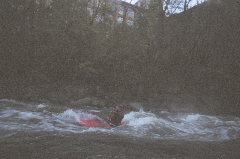
Ellicott City K Hole Rapids
Feb 28, 2014
Waters cold but running about 3.5 feet in old Ellicott city. 2/28/2014
Nov 17, 2013
Has anyone run this section since the removal of the Union and Simkins dams? I've seen in the comments section where people were running it during the removal, but no word on how it's changed the river since.
Also, the Bloede Dam is currently under review for removal which will make the section from Daniels down to the inner harbor free-flowing once again.
May 5, 2012
Ran this Friday morning, May 4, 2012 when the gauge jumped above 120cfs.
Put in at Old Frederick Rd, out at Ilchester Rd. Some good fun.
Notes: Being completely new to this river, we did not know the section flowing under Rte. 40 is closed, until well after we were committed. The bad news is that there is some serious construction ongoing that looks no where near completion. The river is clearly marked as 'CLOSED' with almost no reasonable method of porting your boat around the constructiion site. The good news is that the 2 dams in this section that most of the literature describe, have been removed making for longer, more consistent linking of rapids. Currently, there is no logistical barrier to running the river through the construction site, and the construction folks have done a great job of creating a fun rapid over the remains of the dam. There is, however, obvious risk of being struck by falling construction debris and possibly legal consequences for running a 'CLOSED' river. So when the signs come down and water is up, this will be a much improved stretch of river for Baltimoreans with few hours and an urge to run some rapids.
Apr 26, 2011
There is currently construction on the Patapsco River. They are in the process of removing dams on the river. We were unable to pass where Union Dam used to be. There was crane work and construction workers not allowing us to pass. There is no easy portage there unless you want to cross route 40 or walk train tracks thru a tunnel. The good news it the old Union Dam site will eventually have a nice rapid there instead of a nasty keeper hole.
Apr 10, 2011
Robert: if the Hollofield gauge reads the same way now as in '04, 3.56 ft = 1330 cfs.
Mar 12, 2011
This is upper Oella Falls at Ellicott City, above Suicide.
Jun 15, 2006
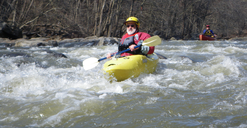
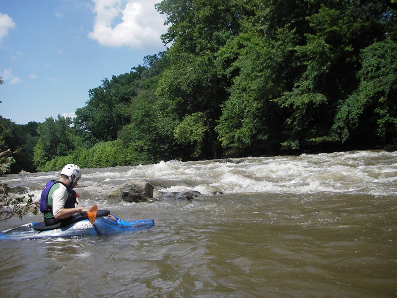
There is some good surf at the bottom waves of Suicide Rapid.
Jun 5, 2006
I caught this in 2004 at @ 3.56 on the Hollofield gauge--any idea what cfs this was? Anyway, it was high, and on a similar occasion later, I paddled down to the harbor, on a cold winter day. So I'll just say, for whitewater boaters, take out at Ellicott City. The section after that is mostly flat water, with the 3 dam portages, the second of which had so much spray that I couldn't even see the base of the dam. All drowning machines, for sure. Flat water paddlers should drive down below the third dam and put in. I ran Daniels Dam on the right, but scout, because on walking trips, I saw a log jammed at the base of the dam for a while one season. Also, Union Dam seemed like Class 5 at high levels.
Jun 25, 2005
Nice front surf wave below Suicide ~800cfs.
Sweet eddy line.
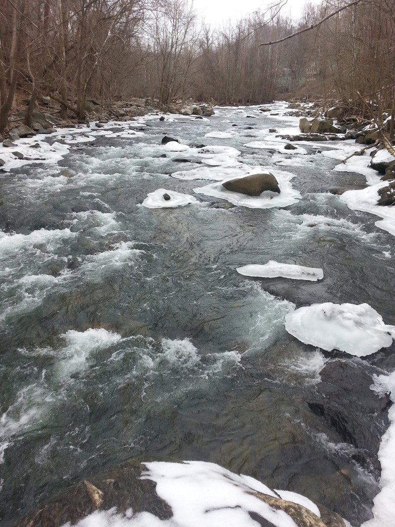
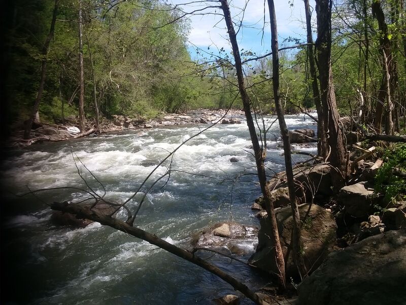
Oct 15, 2003
This is the entrance to Suicide at high water. It becomes very continuous with big standing waves and holes. Stay river right at the entrance to avoid the hole then enjoy the ride down the center.
This is a view of Suicide at high water from Oella Drive in Ellicott City.
This is a great ender spot just below Suicide.
Oct 3, 2000
Eddied out somewhere well below the
first drop, but still above Oella falls
and Suicid
Dec 31, 1999
Jan 1, 1900
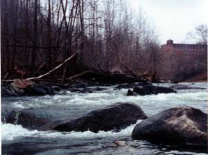
There are two surfing waves on the Oella section of the Patapsco -- Oella Falls and the bottom wave at Suicide. Both are ideal around 500 to 800 cfs. This is a pic of the Oella Falls wave, which is near the Oella Mill (in the background).
Jan 1, 1900
Ignoring my own advice and running the
dam at very low levels (trying to hop
into the river left eddy)...
Jan 1, 1900
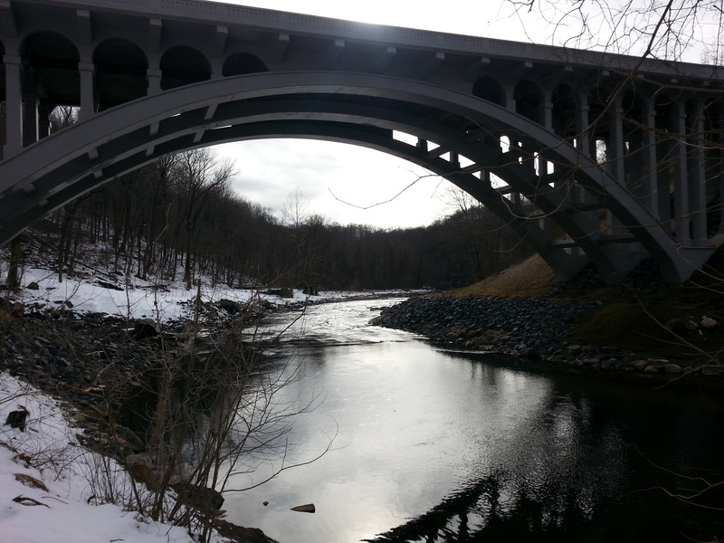
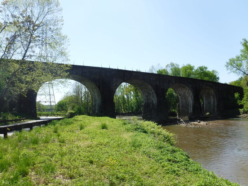
Thomas Viaduct
Jan 1, 1900
Patapsco Suicide Rapid
Jan 1, 1900
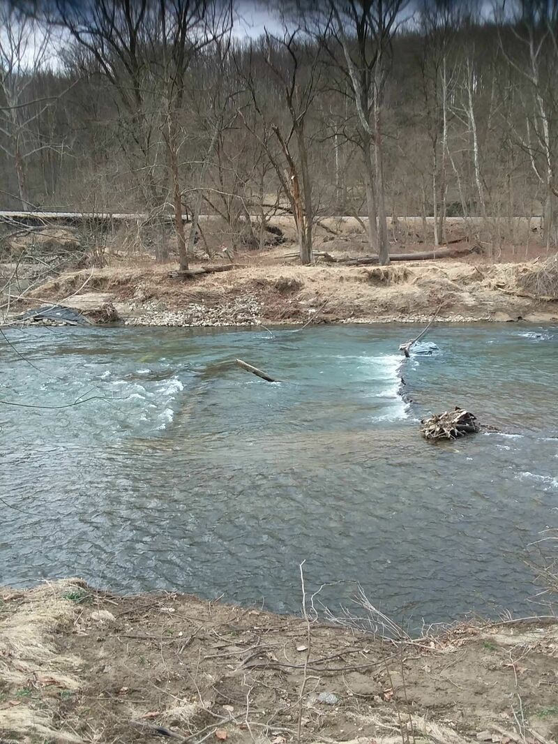
This is a closeup of the pourover at the
Union Dam breach at moderate levels.
Even at this stage, the hole below it
will flip and surf a boat for a
suprisingly long time...
Jan 1, 1900
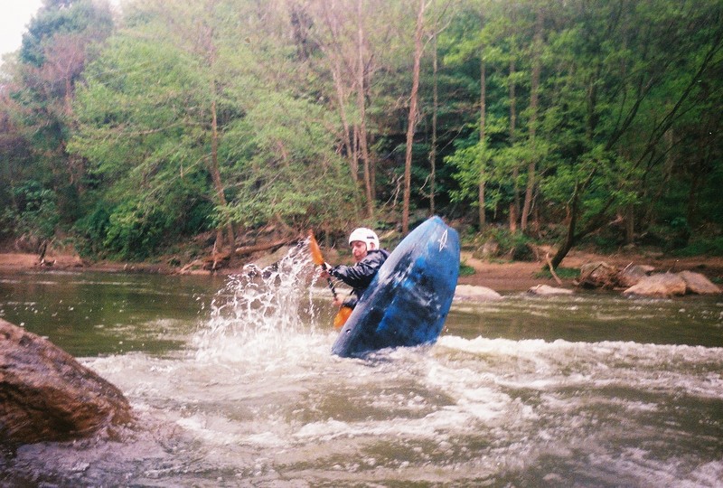
Class II rapid in Oella.
Jan 1, 1900
Pipeline hazard
Jan 1, 1900
This is the Union Dam breach over 4ft, a
dangerous combination of folding
currents, entrapment points, grabby
metal fencing and an explosive hole...
This is at the top of the turn on the
dam breach, and features an example of
the vicious, folding currents that set
up the big drop...
This is the last slide before the pool
at Ellicott City, just beneath Suicide
rapid at high wate