Potomac
2. GW Canal Loop or Violettes Lock/Riley's Lock to Pennyfield Lock(GW Canal or Seneca Breaks)
| Difficulty | II |
| Length | 3.9 mi |
| Avg Gradient | n/a |
| Gauge | Potomac River Near Wash, Dc Little Falls Pump Sta |
| Flow Rate as of 28 minutes | 2.90 ftmedium runnable |
| Reach Info Last Updated | June 7, 2026 |
[ It has come to our recent (2025) attention that the take-out trail for the C&O Canal paddle back up to Violette's Lock has become very muddy/slippery and difficult for older or disabled paddlers to navigate without slipping and falling or requiring help. If there are concerns, consider running a shuttle down to Pennyfield Lock and taking out there.]
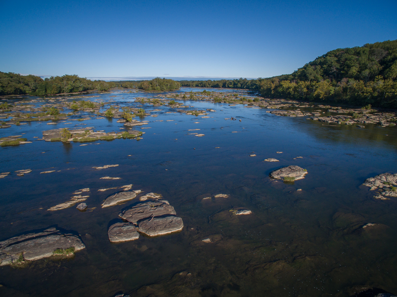
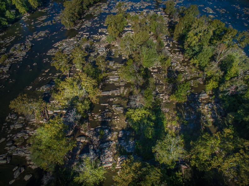
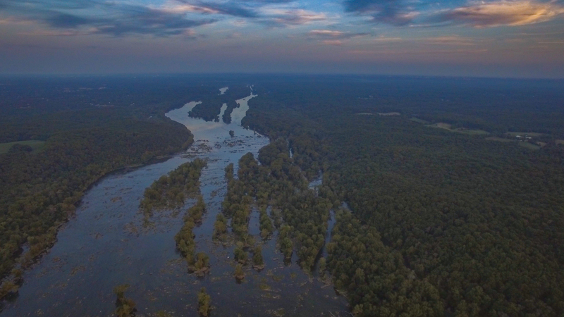
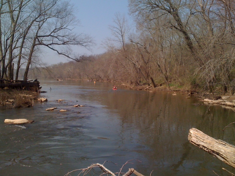
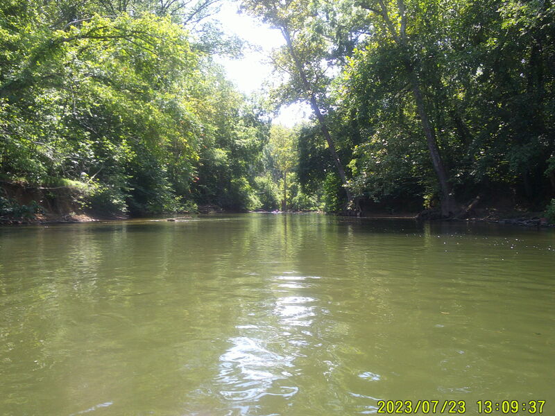
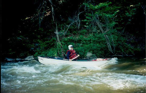
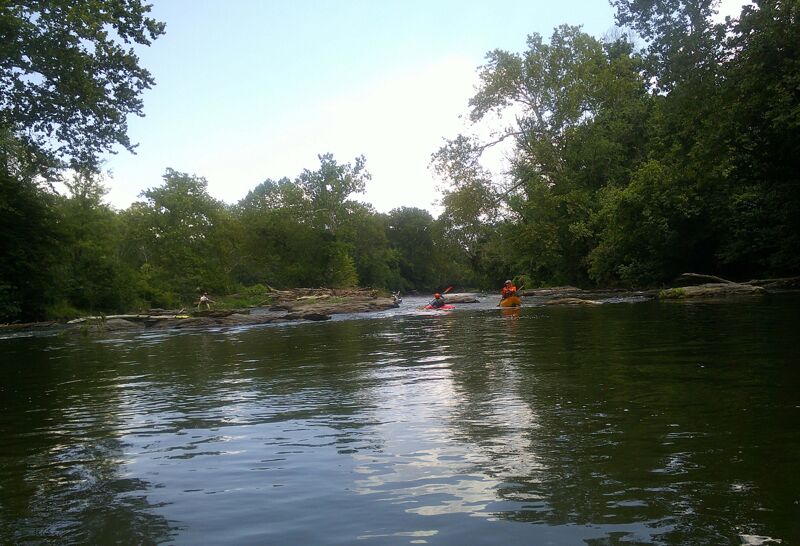
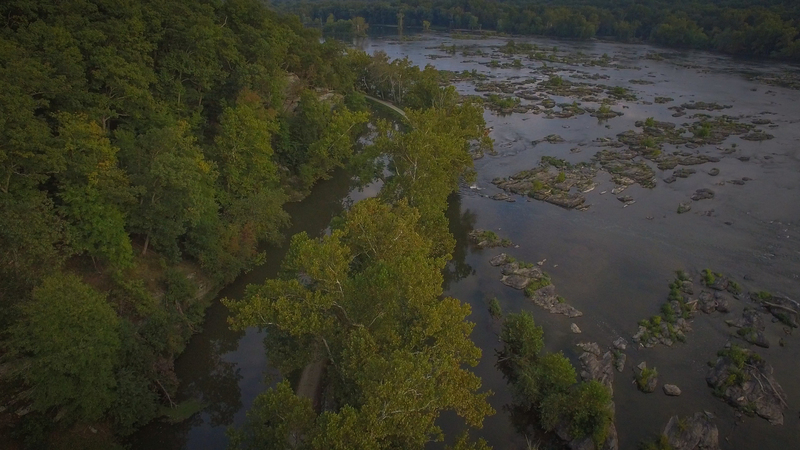
The channels between the islands on the Virginia side of the Potomac at the mile long stretch known as the Seneca Breaks provide an excellent run for paddlers who are working on their skills. Rock walls from George Washington's Patowmack Canal, constructed in the 1790s to carry boats around the Breaks, are still visible in places, giving this run its nickname of the 'GW Canal'. The rapids are Class II in nature and are appropriate for practiced novice and higher skilled boaters. The river seems to pick up a lot of strainers here, so be on the lookout for ever changing obstructions. The river can also be run down the main channel but this isn't the traditional run.
If the C & O Canal on the Maryland side of the river contains water, or if levels allow an attain up the main channel, this run has the additional advantage of being able to be run as a loop. If the C&O Canal is dewatered (which it is usually in the winter) a shuttle can be set downstream at Pennyfield Lock. The canal's towpath can be used to get those shuttling on foot or bike back upstream.
Accessed from Riley's Lock or Violettes Lock along the C & O Canal (see directions below). At Riley's Lock, put in at either the floating boat dock or the boat ramp and paddle down Seneca Creek to the Potomac. At Violettes, walk across the canal bridge and follow a faint trail to the right and down to the river bank at the top of a canal feeder channel, put in and paddle up to the main channel. In either case, paddle across the river, which is very wide here, above the old canal dam. Enter a river right channel on the Virginia shore j
...
This is the Riley's Lock put-in. For the 'GW Canal' run, cross the river above the 'Seneca Breaks'. Violette's Lock (just downstream) is preferred if doing the GW Canal loop and you plan to use the canal to avoid a shuttle. There is more parking and better accessibility at Riley's Lock, but either a shuttle to Pennyfield Lock is needed or plan for a 3/4 mile paddle up the Potomac River from Violette's Lock to Riley's Lock (mostly slackwater), because the canal is not watered between Violette's Lock and Riley's Lock.
This is the Violette's Lock Put-in. For the 'GW Canal' run, cross the river above the 'Seneca Breaks'. Violette's Lock is preferred if doing the GW Canal loop and you plan to use the canal to avoid a shuttle. But parking fills up early at Violette's Lock. There is more parking and better accessibility at Riley's Lock (just upstream), but if you use the Riley's Lock put-in, a car shuttle to Pennyfield Lock is needed or plan for a 3/4 mile paddle up the Potomac River from Violette's Lock to Riley's Lock (mostly slackwater), because the canal is not watered between Violette's Lock and Riley's Lock.
The Seneca Breaks are the series of mainstem Potomac Rapids below the Violette's Lock put-in.
The GW Canal is the channel farthest to river right against the Virginia Shore, just above the rubble dam that marks the start of Seneca Breaks.
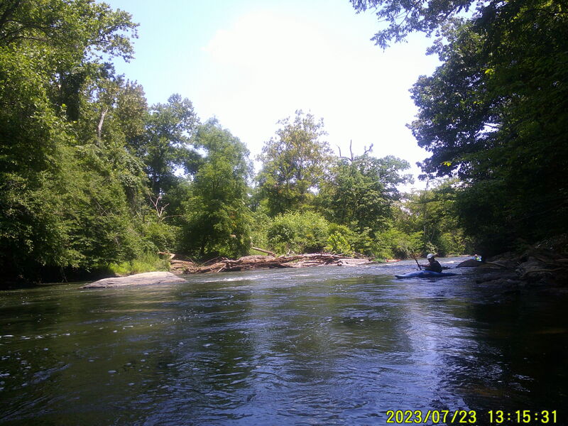
First up is Slalom rapid, maybe a 1/4 mile from the entrance. It's the one with large boulders that you can eddy hop down. This is where Jeff Davis did his Swiftwater Rescue class for many years.
Just below is Surfer's Ledge on river right, the favorite playspot.
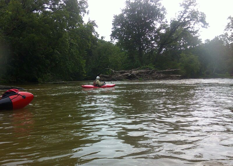
Below 'Surfers Ledge' there is a channel on the far left that can be used to return to the main river. After being blocked by wood for many years, it has recently reopened. There are surfing waves on the far left channel and in the rapids on the main stem Potomac.
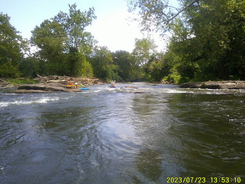
Next is Diagonal rapid, so named because the preferred line runs diagonal from right to left. This is a rapid that tends to collect wood.
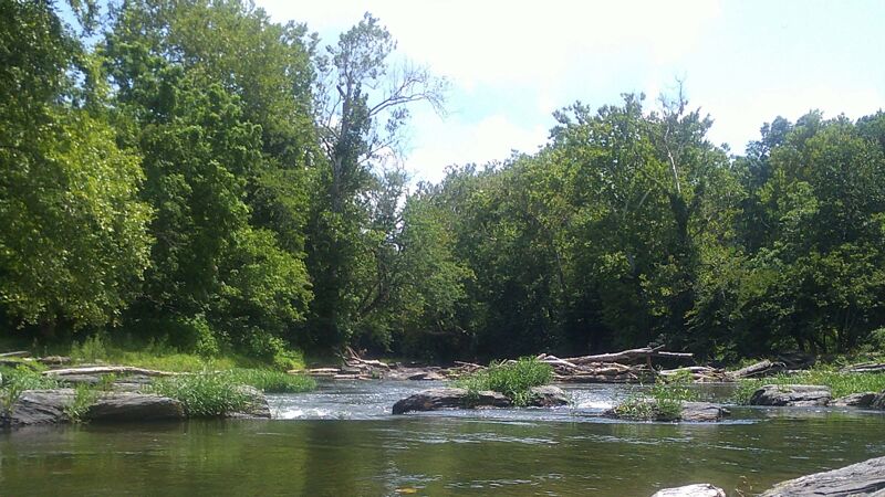
Then there is a large island that splits the channel. To the right is the Jacuzzi Channel which leads to the Jacuzzi rapid, which is a small ledge that has both left and right chutes that can be run. The center of the ledge forms a small area of swirling water that at certain water levels and circumstances become jacuzzi like. For a considerable period of time (2020-2024), a large wood pile blocked passage in this channel. As of June 2025, the wood pile has moved on and the jacuzzi channel is now open.
Then there is a large island that splits the channel. To the left is the Kingfisher (AKA left-center) channel that has a series of small ledges, one of which is known as the 'attainment' ledge, the rest unnamed as far as is known.
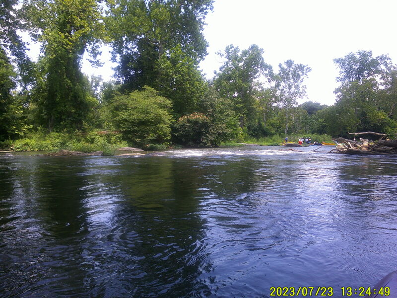
After the two channels rejoin is the final rapid - 30 Eddy rapid; allegedly there are 30 opportunities for dedicated eddy hoppers in this rapid.
Then out to the Potomac. Make sure you make the left turn out to the Potomac at the bottom of this rapid because if you get to the right of the long island, you'll miss both the carry up to the canal to go back to violettes lock and the Pennyfield Lock takeout.
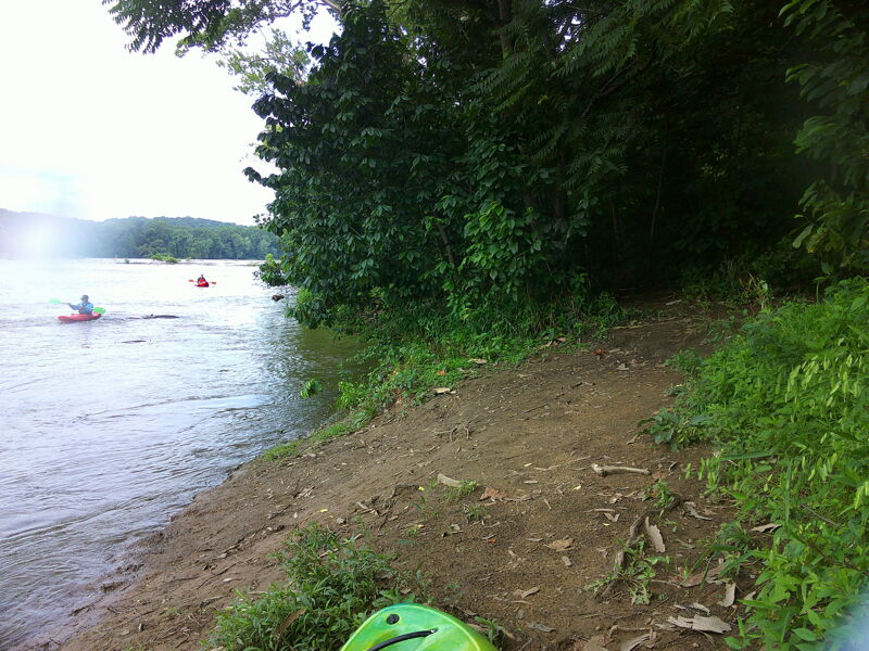
Take-out for C&O Canal paddle back up to Violette's Lock (if the C&O Canal is watered, which it usually is during the paddling season and usually is not during the Winter). It has come to our recent (2025) attention that the take-out trail for the C&O Canal paddle back up to Violette's Lock has become very muddy/slippery and difficult for older or disabled paddlers to navigate without slipping and falling or requiring help. If there are concerns, consider running a shuttle down to Pennyfield Lock and taking out there.
Alternate Take-outs (if the C&O Canal to Violette's Lock is not watered or used - see above) can be either Pennyfield Lock (river left, a little downstream, total run 3.5 miles) or to Swain's Lock (total run 7 miles). Several islands appear downstream, it is important to stay on the Maryland side of these, as passing to the right of the miles long Harris Island will deliver you downstream of both Pennyfield and Swain's Locks.
Look for the entrance to Muddy Branch to the Pennyfield take out (There was a sign here, but as of 2025, it's gone -- a replacement is in the works). It's upstream from the lock house a couple hundred yards. On your way downstream, hug the MD side of the river to find the channel. Once in the channel, paddle upstream 0.2 miles or so to the tunnel under the C&O canal and the boat ramp immediately afterward.
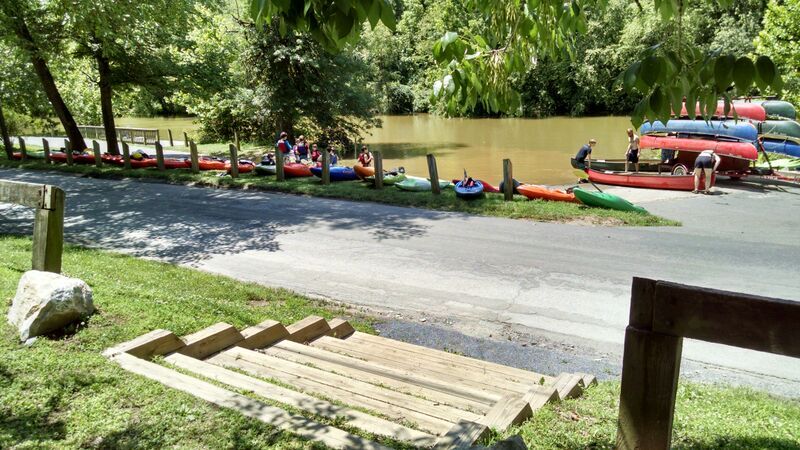
When setting shuttle at Pennyfield Lock, the boat ramp is at the right end of the parking lot.
Sep 30, 2017
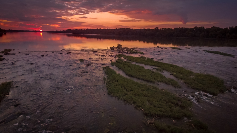
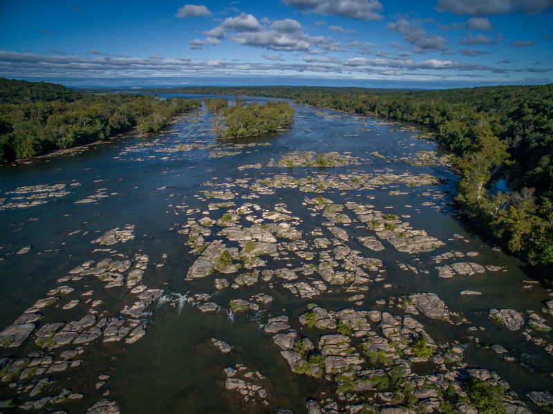
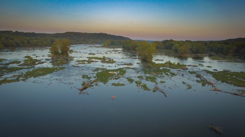
A beautiful section of the Potomac, but challenging to find a good route through these shallow rapids which extend about a mile downstream towards from the end of the long section of flatwater.