Magalloway
Aziscohos Dam to Wilsons Mills
| Difficulty | II-III(V) |
| Length | 2.1 mi |
| Avg Gradient | 67 fpm |
| Reach Info Last Updated | August 25, 2014 |
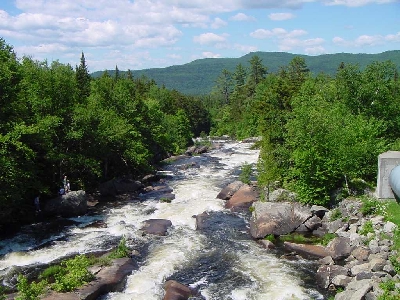
The upper portion of this run is a technical class V with vertical drops up to 18'. Some rebar, concrete, and old log cribbing can still be found here complicating some of the obvious clean lines. The easier (and more popular) class III section of this river can be accessed from a parking lot by a power plant about 1/2 mile south of the route 16 bridge over the river. Look for a dirt road between high banked dirt burns leading down to the access parking lot. At the parking lot hike down a trail that leads below the last of the class IV-V drops and put in here. From here the river is a technical class III through a boulder strewn rapid. Look out for pinning boulders. About a 1/2 mile down river there is a nice surfing wave formed at a ledge outcropping. More class II-III water continues with a few more difficult sections at rock ledges with large hydraulics to avoid. Take out downstream river right at the route 16 bridge overpass.
Put in elevation........1356' (1445Â Class V section)Take out elevation......1256'Total drop..............100' class III section, 89Â class V sectionAverage drop/mile.......67 ' class III section, 178Â class V sectionDistance................1.5 miles (class III section); 2.0 including class IV-V sectionRiver width average.....70'River geology...........medium granite boulders and ledgeRiver water quality.....Good, clarity good.Scenery.................Good to excellent,Wildlife................Deer, moose, hawks, eagles.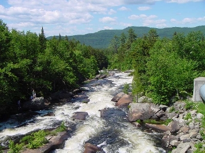
This upper portion of the Magalloway is for experts only. The following informattion was posted by Allen Bergren.
Shortly after the put in there is a 10-ft falls I call
Bash-full, because except for a narrow window of opportunity 2/3 left, it
presents the prospect of a high-speed collision with a car-size obstacle
just 5 ft. from the base. And there are roosters on the left. Uppermost part
rates a 5+ in my book. Hope to join a strong team to tackle it sometime.
Z to A because, even starting at the end of the hydro pipe, one starts
with a 4+ 6-ft drop with a wide recycle or a steep foam descent on either
side. Then there seems to be a gradual decrease in difficulty level until
the take-out not much more than a mile downstream.
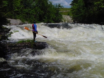
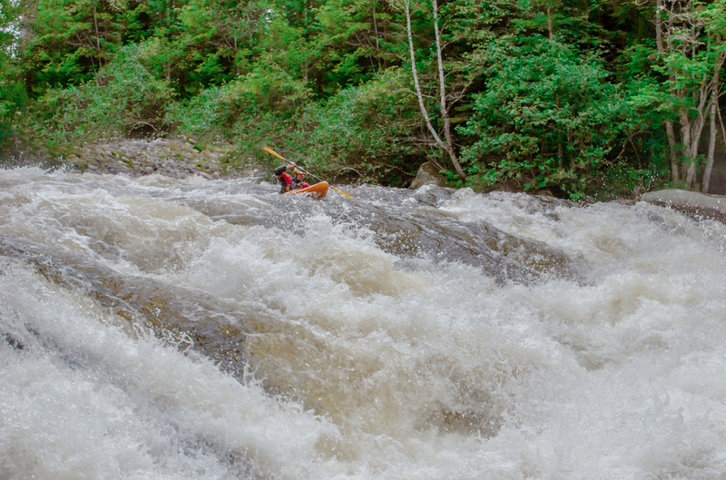
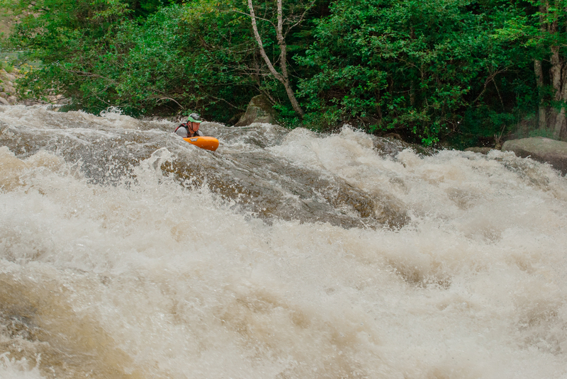
The picture at right shows the final drop of the Upper Magalloway. This drop is complicated by two very wide recirculating holes that must be scouted to find the proper line. Most people running the Magalloway chose to put in just below this falls which is a 100 yard downhill hike from the parking lot at the power station. From this put in the river is continous class III with few eddies in the first third mile. There is nothing overwhelmingly difficult in this section. About a third of a mile down there is a fair surfing wave with good wide eddies on both sides.
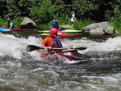
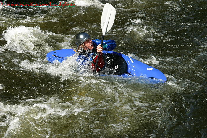
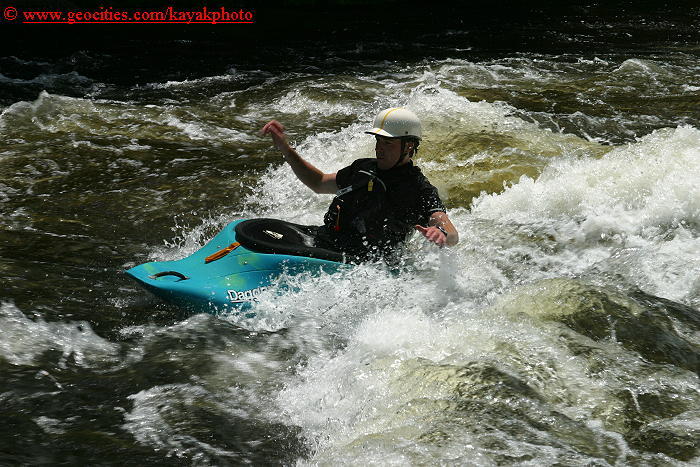
The best play spot on the river. This wave is approximately .6 miles below the class III put in. Good eddies and access on both river banks.
About 1 mile below the class III put in. Look for a red house, (the first one you come up to), river right up a hill. The river takes a left here and flows over a river wide ledge. The right side of the ledge is shallow while the left pours throw a rather large hole. The best routes are far left or through a break in the holes just left of center. About 75 yards downstream from the first ledge the river flow pushes into a narrowed channel on river right then drops into a much larger trashier hole. Avoid this hole by starting river center then moving left through the drop skirting the leftside of the hole and catching the eddy on river left.
Ben Selleck running center line on lower drop
Jun 29, 2003
More of my photos can be found on my NEW kayakingphotos.com page and my American Whitewater page.
More of my photos can be found on my NEW kayakingphotos.com page and my American Whitewater page.
More of my photos can be found on my NEW kayakingphotos.com page and my American Whitewater page.
Jun 28, 2003
More of my photos can be found on my NEW kayakingphotos.com page and my American Whitewater page.
More of my photos can be found on my NEW kayakingphotos.com page and my American Whitewater page.
More of my photos can be found on my NEW kayakingphotos.com page and my American Whitewater page.