Potomac
7. Little Falls
May 21, 2018
This week of heavy rain has rendered the slalom course unusable. Some of the gates are low hanging and in contact with the water, so if you are running this section, watch out for those barriers so you don't become entangled.
Apr 21, 2015
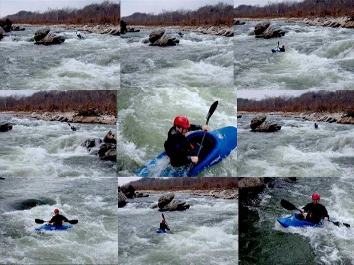
To go further with what Blas said, Little Falls changes pretty dramatically as a rapid once the river goes over 4.5-5ft. At 5ft, the center island starts going underwater, and a long wave train develops. Parallel to the observation deck, a 2nd wave train develops at low tide with some irregular waves and holes. These continue down to Chain Bridge at low tide, but don't appear at high tide.
From 5ft to about 6.5ft, the wave train gets a little larger and the waves start to crash more. It really has the feeling of a rapid on the Gauley, though, the waves are more irregular and chaotic. The lines are still fairly wide, and the river right contains eddies you can use to bypass most of the chaos, but it is still very much a Class IV rapid.
Above 6.5ft the wave train starts to wash out and over 7-7.5ft, two new dangers come into play. The first is that the river is flowing over the observation deck, creating a pretty nasty hole that doesn't go away until the river is over 9ft. The second is the water starts piling high on Chain Bridge, and some nasty eddylines and whirlpools form. Also, at these levels, Z-Channel changes directions, forcing you to attain up it, rather than paddle down it. Experience boaters can probably find a line over the break in the canal by Lock 5
Once you are in the 9+ft range, the wave train and hole are mostly gone, but some really powerful eddylines, whirlpools, and exploding waves take their place. You will be running the main rapid next to entire trees, and there isn't a predictable line. Also, you'll have to paddle into the river right from Lock 5, as Z-Channel and the Feeder Canal are flowing downstream much too quickly to attain. It's a really fun experience for an accomplished boater, but, not something that should be attempted by anyone without solid skills.
Mar 18, 2011
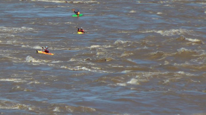
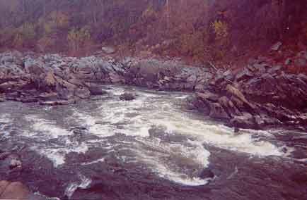
Ran this on sunday around 9 on the gauge just after low tide -- 100,000 CFS. Pretty hairy to look at it from Chain Bridge. Where the observation deck was there is a rather large hole. Definitely don't want to end up there. Below the observation deck, maybe 40 yards or so, near the center of the river there is a feature that I can only describe as an exploding wave hole. It would look like a regular wave train, of course with massive waves, but every minute or two an enormous column of water the size of a truck would shoot up into the air. It was so big that we could see it from 500 yards away coming downriver. Needless to say, that must be avoided at all costs. When we were scouting from the bridge we saw a large log get completely eaten up by that thing. The only real safe line at this level is to go far river right, which has an extremely chaotic eddy line with all kinds of mystery boils, reactionary waves, and squirrelly water. It's the kind of water where you can be going straight and all of a sudden be facing sideways five feet to the left or right of where you were. It's a little bit cleaner if you go center-left, but then the exploding wave hole is in play. The pillars for Chain Bridge are, as a previous poster noted, a deathtrap if you get caught in them at this flow. Whether in your boat or out, the pillars must be avoided. Just below the bridge there is a large breaking wave, maybe 10 feet tall, followed by a series of large rollers. Fun. There were fun waves almost all the way down to Fletcher's Boathouse at this level/tide. The flow was so fast that we covered the mile from Chain Bridge to Fletcher's Boathouse in about five minutes. A swim at this level would be long, cold, and potentially deadly.
Mar 13, 2011
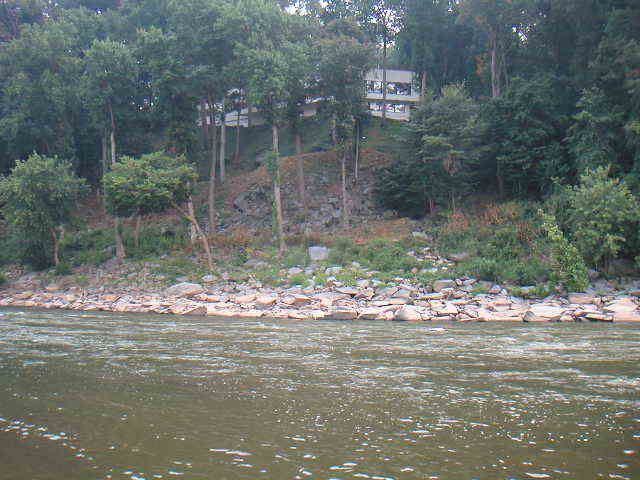
We're parallel with where the observation deck normally is
Apr 1, 2009
Someone needs to fix the gauge ratings on this site. At 2.91 it is reading green as a medium level and most people that are out on mather gorge or little falls know and probably feels this level to be low.
Having run this section from maybe 50 times at different levels, I think 2.5 - 3.2' is the optimum level for Little Falls with the best play spots. Above 3.5' most of the run gets washed out although the Little Falls rapid is quite entertaining. William Nealy wrote about a near death experience on Little Falls at high water in his Whitewater Home Companion Vol 2. Avoid the Chain Bridge abutments at higher levels.
Jul 31, 2006
We saw these guys putting on below Brookmont Dam yesterday. They looked a little tentative but seemed determined, at least they had PFD's and flotation. I told them where to scout Little Falls, and to run it on the left. We played our way down to Little Falls and didn't see them. Evidently things didn't go so well. Today we found clearly the same canoe, totally and completely wrapped around Cleaver rock. Hope no one was hurt.
Apr 12, 2006
Text book MD to VA line on Little falls!
Aug 29, 2004
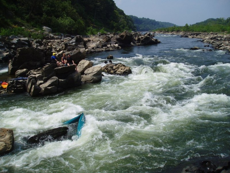
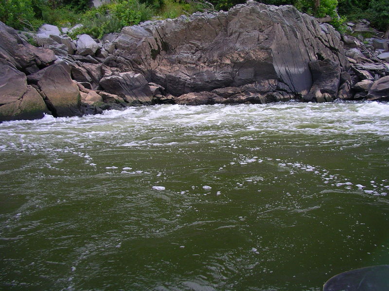
This is the infamous Room of Doom. Most of the current pushes against the rock wall just to the left of this feature, making a whirlpool on the right. Really not a good place to be at any level.
This is the eddy halfway into the main LF drop on the VA side. It's definitely where you want to be to avoid Cleaver. From here it's fighting the squirrely current to avoid the Room of Doom.
For those that don't want to run the usual eddy turn VA line, this is a sneak route of sorts. Just watch for rocks on either side, especially the left.
Aug 27, 2004
This is another view of the 'Beaver drop' creek side channel halfway down. Below 3.1 on the LF gauge this becomes very bony and steeper, full of paddle snakes and broaching rocks at the end. Otherwise it's a fun little diversion from the main channel.
Jul 26, 2004
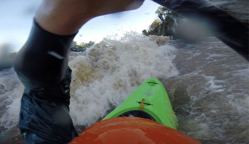
Gets the blood flowing right off the bat!
Jul 12, 2004
This is the feeder canal putin between locks 5 and 6. Debris jams usually happen after higher water flows through, so the launch area varies.
Jul 11, 2004
This is a channel to the river left of the island just below Brookmont Dam. It's reached by attaining up the feeder canal and portaging around the fast current. At this level (3.28) some rocks start bumping you around but no real 'must moves' are needed. Stay river left of the rooster tail shown at the end of the drop. Not a necessary thing for a Little Falls run, but definitely worth the effort. Thanks to Mark B. for showing me the lines.
After running Z-Channel or the broken dam, you weave through this fairly shallow area (at stated level) that tests your rock avoidance skills. Little Falls pumping station is in the background.
Typical wave train rapids before you get to the main drop of Little Falls proper. Depending on level these can either be a straight flush or pretty hefty waves similar to White Horse on the Shenandoah. Great surfing for those inclined.
This is the takeout for Little Falls. Basically a concrete structure housing the outflow pipe from water induction further upstream. Height varies according to tide levels, but either way it's a climb. The eddy to the right of the structure can get VERY nasty, so beware. At high tide a channel opens up around the corner that places you in a much more civilized spot to take out at. Again, thanks to Mark B. for that insight.
Nov 15, 2001
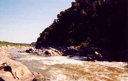
The VA side is safe as milk in some very, very low water during the drought of Winter 2001/2002. The MD side is too low to run in this shot.
Jan 1, 1900
The slide that connects Charlie's to the main flow
Jan 1, 1900
The Lock 5 Put-In. I am sitting across from the normal seal launch on top of Charlie's
Jan 1, 1900
The final drop of the Z-Channel at low water.
Jan 1, 1900
The runnable channel of the broken dam
Jan 1, 1900
The upper set of Midway surfing waves
Jan 1, 1900
VA side sneak line
Jan 1, 1900
The Maryland, and bottom of the Virginia side
Jan 1, 1900
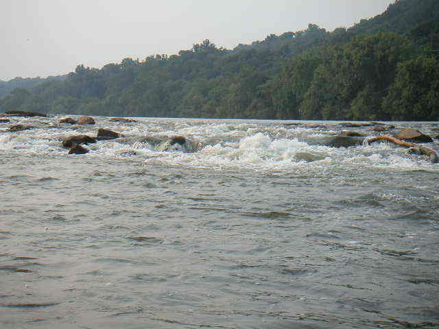
The MD side of Little Falls, showing the second hole and runout
Jan 1, 1900
The VA side of Little Falls around 2.9 Feet on the gauge
Jan 1, 1900
This particular house signals the time to pull over on river left and portage up for the 'Beaver Creek' channel.
Jan 1, 1900
One of the massive sporadic holes that appear over 4.5 feet
Jan 1, 1900
The entrance to the Lock 5 put in from the main C&O Canal path
Jan 1, 1900
The top two slots of Charlie's leading into the slide
Jan 1, 1900
Large drop of Z Turn rapids photographed from pool below.
A great side drop at the right level. It can be reached by pulling over to a beach on the left after the first series of rock gardens. A short drag puts you in to Beaver Creek about 100 yards above this rapid.
Below 3 feet on the LF gauge this drop starts to get higher and more interesting. There is also another bonier drop off the right side of this picture.
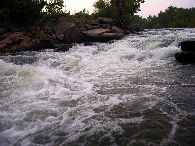
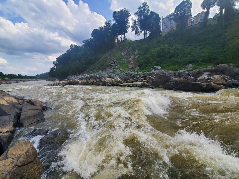
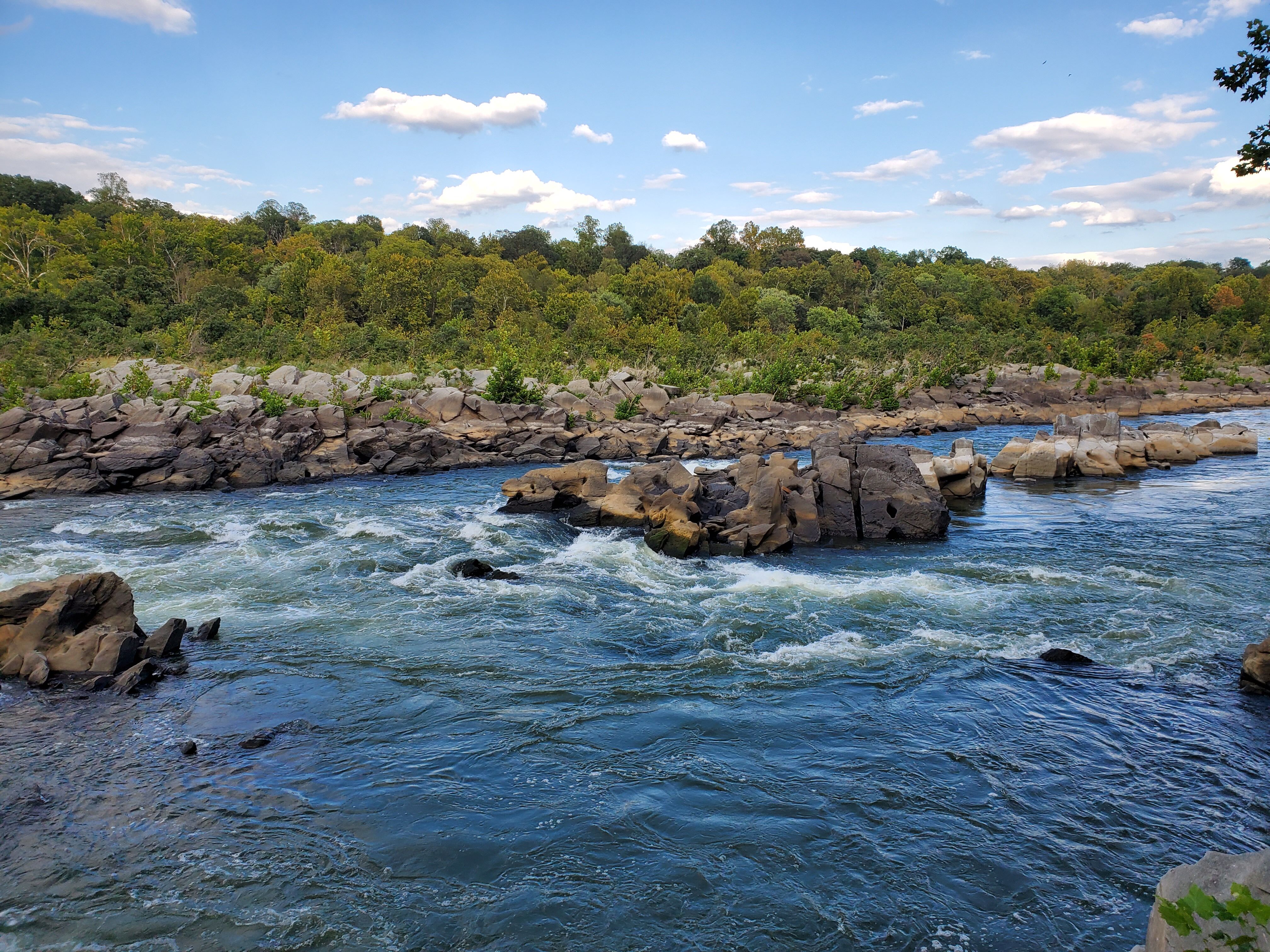
MD Side of Little Falls. Note Chain Bridge in background
MD side of Little Falls drop. At this level, the water swells up against the island dividing the MD and VA sides. Chain Bridge is in the background.
Jan 1, 1900
The Beaver Slide around 2.85 feet
Jan 1, 1900
Detail of the slide on Charlie's. You can see some of the many obstacles just waiting to slice up the bottom of your boat
Jan 1, 1900
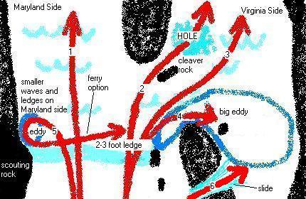
This graphic shows some lines at the Little Falls rapid of the Potomac River. Knowledge of this graphic is not a substitute for the appropriate skill and abilities necessary to boat this rapid. The drawing is approximate. Scout, , set safety, go with someone who knows the lines and assume all responsibility for your actions. Courtesy of Tim Bromelkamp.
Jan 1, 1900
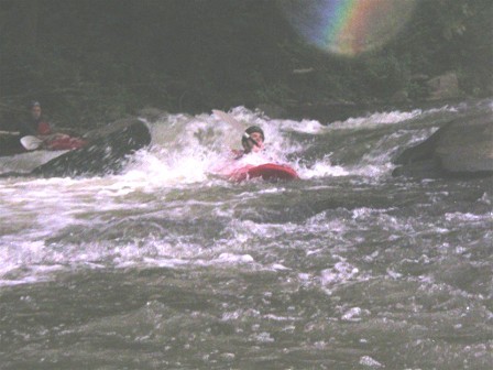
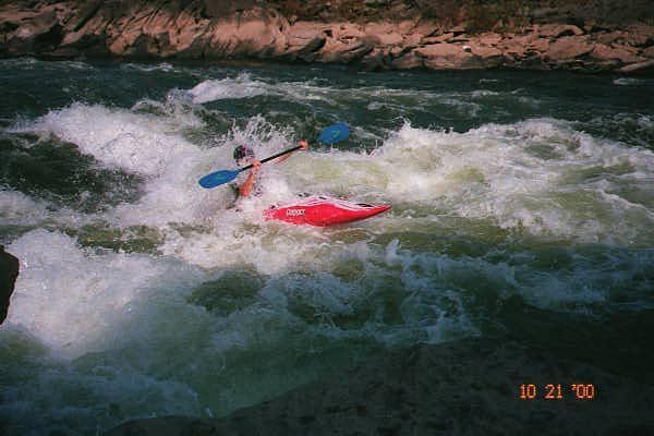
StreamKeeper, of the Monocacy Canoe Club, Gets Slapped By Roostertail At Little Falls On The Potomac
Jan 1, 1900
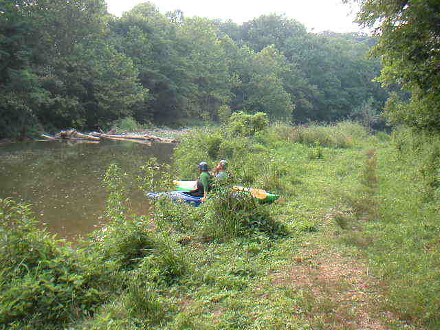
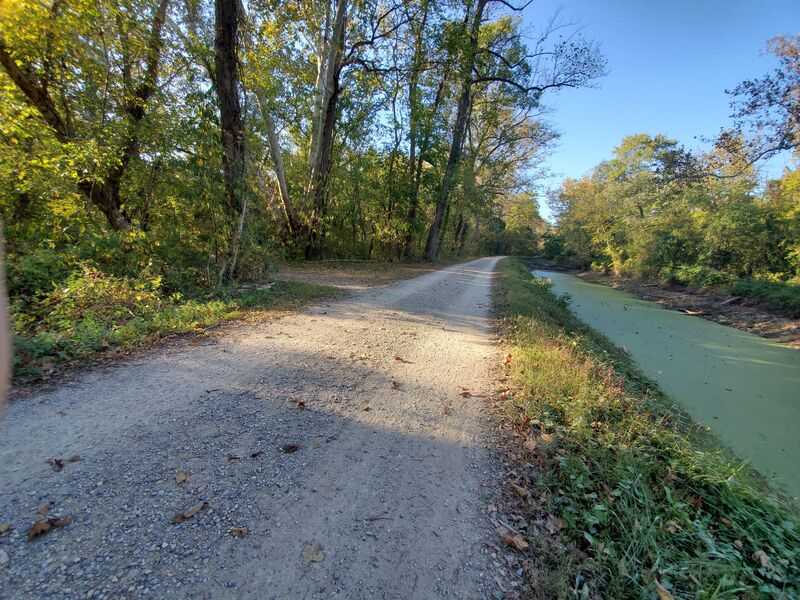
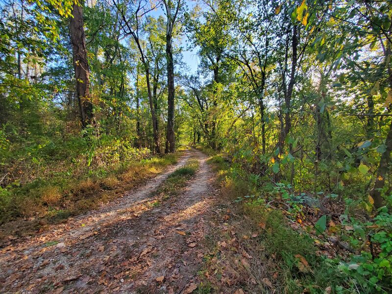
The trail between the C&O Canal access path and the feeder canal
Jan 1, 1900
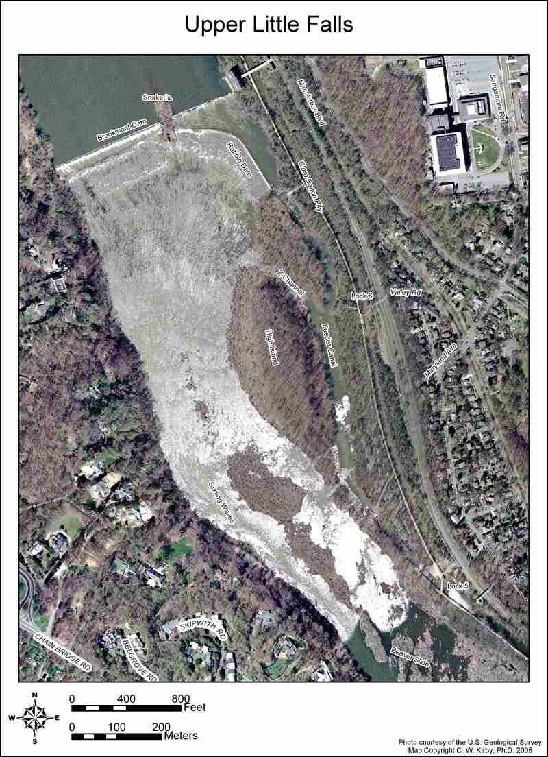
This map is designed for printing on 8 1/2x11 paper.
This map is designed for printing on 8 1/2x11 paper.
This map is designed for printing on 8 1/2x11 paper.