Presque Isle
C) Steigers Bridge to South Boundary Road (8.2 miles)
October 12, 2005
| Reporter | Brock Royer |
Three comments:
One: I have heard rumors of epic hikeouts and found out after I hiked in that a great trail hits Copper Creek and brings you back to civilization. So, if for some reason you do have to get off the river make your way to Copper Creek confluence (the creek enters the Presque about 1/2-3/4 mile downstream of Nokomis and 1/2 mile upstream of LePisto) and walk the bank until you reach a path and go right. It will save you hours vs. trying to use a compass and just hiking one direction out through the woods.
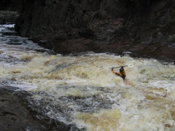
Two: The south boundary road bridge gauge at 7.0 (October 2005) is a medium to high level. The Black was at 3.5 (780cfs) and didn't really drop during our time on the water. I remember a run in 2003 at 7.6 that seemed like about the same level
Three: You do not need to start your portage for Nokomis at triple drop. If you decide you are not up for running triple drop then more than likely you are going to walk Nokomis as well. However boat the distance between the two rapids instead of walking it! In fact there is quite a nice rapid along with a 1/4 mile of river between triple drop and Nokomis. There is a GIANT 20 boat eddy on river left above Nokomis. This will save tons of time and energy and give you an additional fun rapid!
I hope this info helps!
Have fun!
Peace
Brock