Belt Creek
2. Monarch to Riceville
| Difficulty | II-III |
| Length | 16 mi |
| Avg Gradient | n/a |
| Gauge | Belt Creek Near Monarch Mt |
| Flow Rate as of 21 minutes | 145 cfsbelow recommended |
| Reach Info Last Updated | June 28, 2023 |
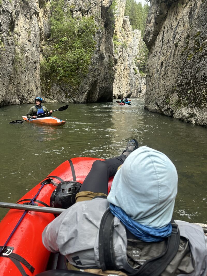
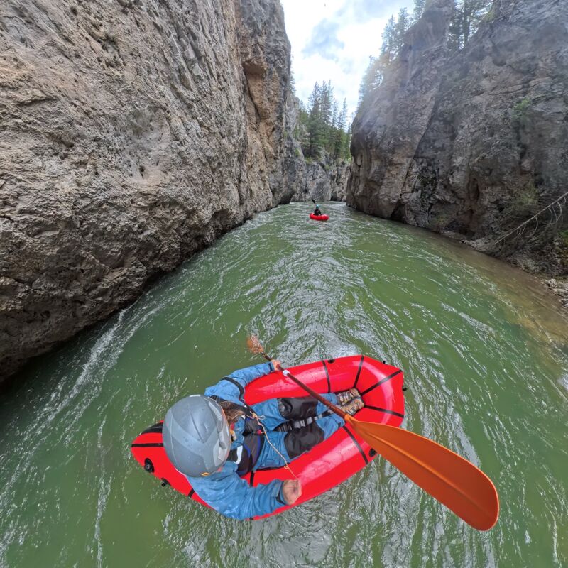
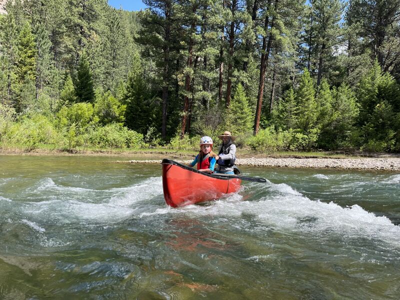
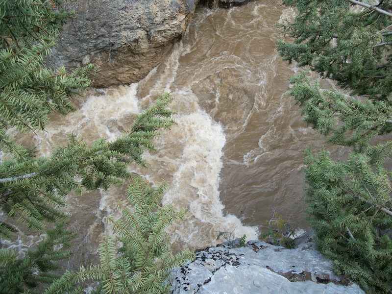
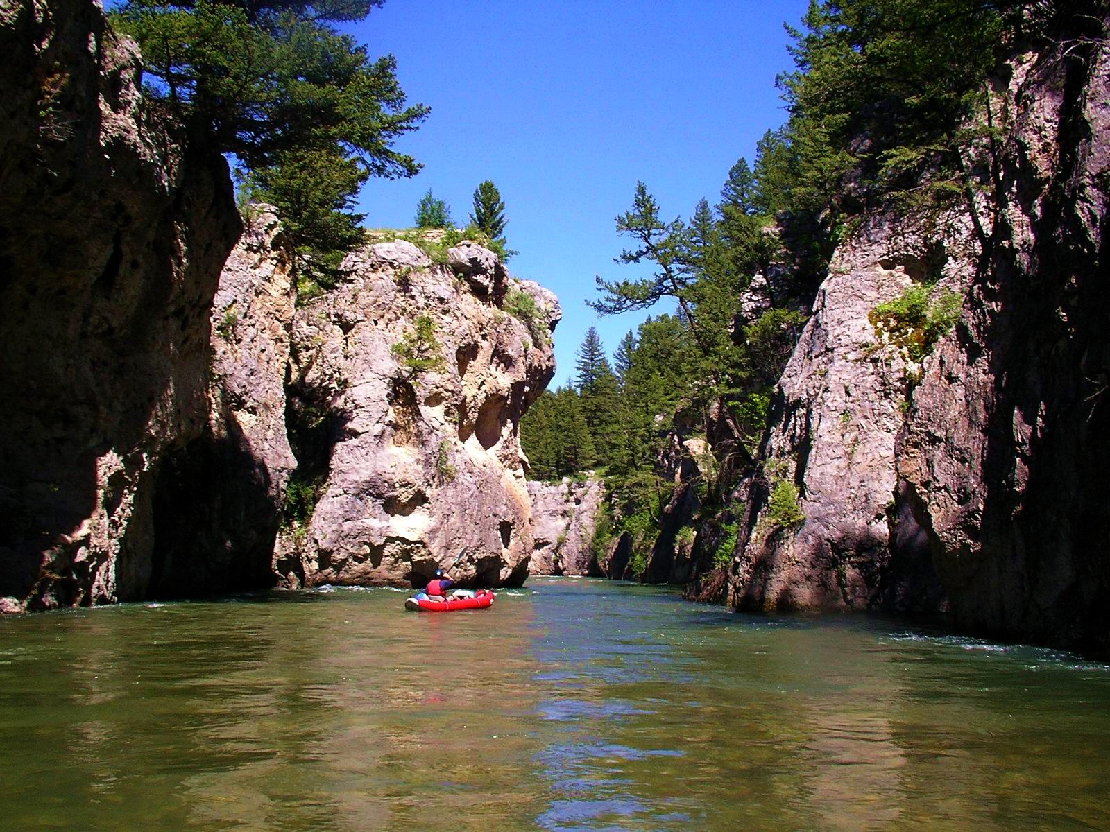
Belt Creek is absolutely beautiful, a mini- Smith River with beautiful limestone walls that tower over the run, and eventually lead to a couple-mile long vertical walled box canyon a couple miles above the takeout. The run most often starts in Monarch, where the river is small and flows over braided cobble bars that can hold log jams and brush. Be careful of wood in this section. The scenery gradually ramps up as thw limestone walls grow in stature and the river gains more organized Class II and -III rapids. You should watch out for a few class 3's above the canyon (which starts about the last 3rd of the float), especially at the entrance but pretty much stay center. The canyon is awesome, swift pushy water could lead to a bunch of wall collisions, but not a serious danger at lower water when the walls feel a bit undercut but are relatively easy to avoid. Paddlers caution about higher flows because of the funky hydraulics and chances of a log jam, though experienced paddlers run it high. Belt Creek takes around 4-8 hrs, depending on flow and stops.
The Neihart section is just upstream and has been run at high flows in IK's when 'it's definitely a ride.'
Belt Creek flows through Sluice Boxes State Park as well as a mix of private property. Please be respectful of private property, and follow State Park rules. Belt Creek has little to no paddling infrastructure (bathrooms, formal launches, etc), so please make every effort to leave no trace in this special river canyon.
(Based on an initial Dustin Prinzing report from 2008-05-27)
There is a small unmarked parking area where 4-8 cars can squeeze in. The put in is on the tiny Dry Fork and then paddlers enter Belt Creek in 50 feet or so. Be respectful of the very-close neighbors.
Jun 13, 2026
Ran with a group including 2 kayaks and 2 pack-rafts. Fun flow for small crafts! Upper section out of Monarch had quite a bit of wood in the river so keep your eyes peeled!
May 26, 2025
Flow 730. Packrafts. Water through the gorge was fast! Scouting can be a little difficult, but at this level we only needed to get out and scout two rapids, both of which has easily avoidable holes.
If the flow is any higher, it would be quite fast, hard to get out/scout, and definitely tough for most packrafters.
We were unsure of any logjams upstream (though it is now confirmed clear), so we hiked up from the bottom of the gorge along a great trail and put in just above the gorge - we did not float from Monarch.
Overall, one of the prettiest slices of river in Montana - the gorge is quite unique!
Aug 31, 2010
looks like MT FWP removed the logjam in the canyon on Aug 6 2010. Was up there last weekend in August and took a short hike up. At home saw these posts and then investigated further. See full article here: http://www.kxlh.com/news/logjam-removed-belt-creek-open-again/
Jun 18, 2008
Gauge information. There was a USGS gauge at Monarch from 1951 to 1982. Historical data from that gauge is available at:
http://nwis.waterdata.usgs.gov/mt/nwis/inventory/?site\_no=06090500&
Other historical USGS gauges on Belt Creek can be found at:
http://nwis.waterdata.usgs.gov/mt/nwis/inventory?search\_station\_nm=belt+creek&search\_station\_nm\_match\_type=beginning&format=station\_list&sort\_key=site\_no&group\_key=NONE&sitefile\_output\_format=html\_table&column\_name=agency\_cd&column\_name=site\_no&column\_name=station\_nm&list\_of\_search\_criteria=search\_station\_nm
The topo map shows a gauge site just upstream of Rice. USGS does not list this gauge so it may be maintained by another agency. It may or may not be currently functional.