Many of our nation’s most spectacular wild backcountry landscapes on our National Forests are protected under the Roadless Area Conservation Rule, an administrative protection implemented in 2001 covering approximately 58.5 million acres, representing about one-third of all National Forest System lands. These lands represent the interface between wilderness areas and front country recreation areas. They allow for more permissive activities than wilderness (like bikes) and are sometimes adjacent to roads or rail lines, yet they still provide a backcountry experience away from more developed areas.
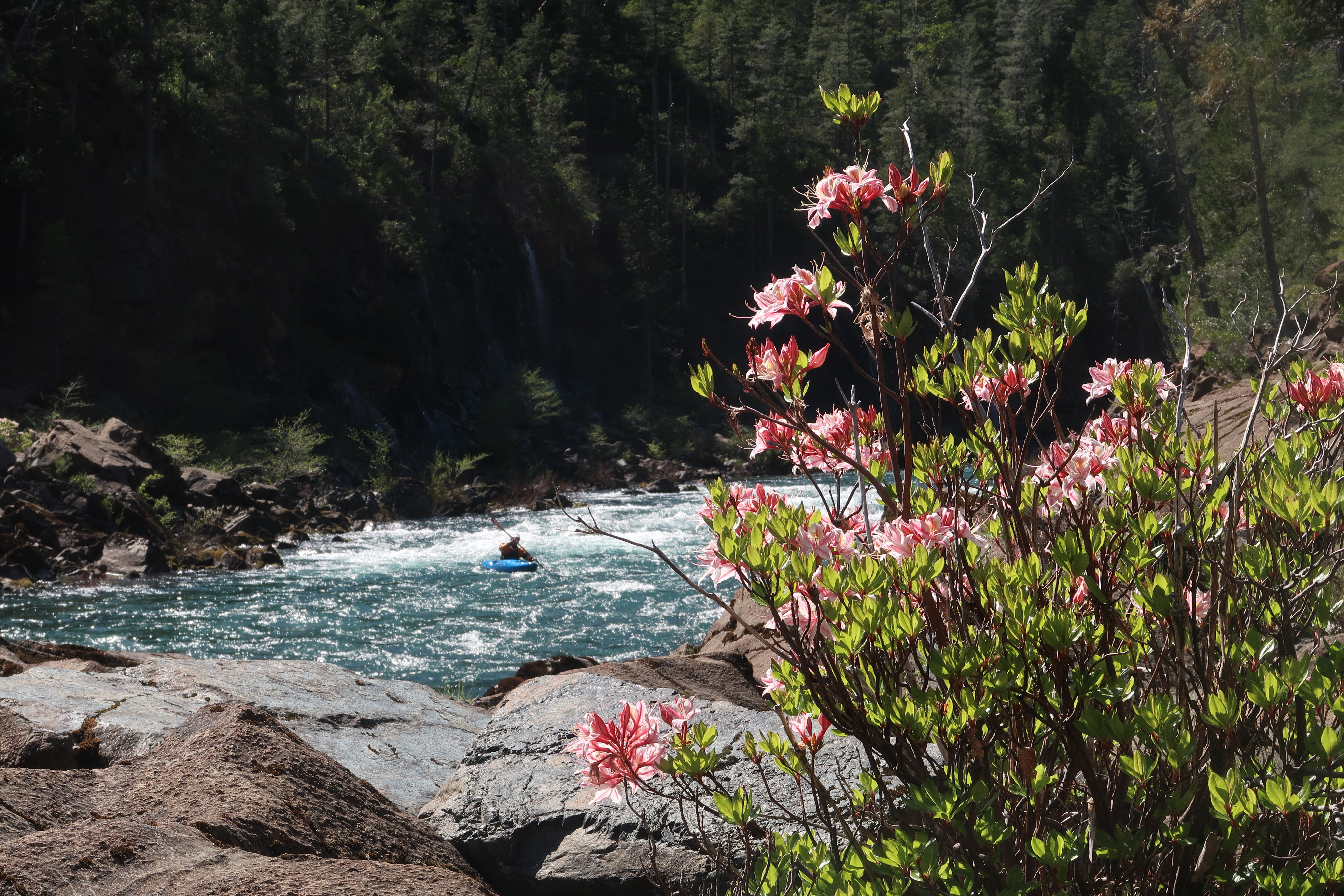
These areas are cherished by the paddling community for the exceptional recreational opportunities they provide that often have the highest water quality. These include places like the North Fork Smith River and Middle Fork Feather in California, Cooper River in Washington, South Fork Salmon in Idaho, Grande Ronde River in Oregon, East Branch Pemigewasset in New Hampshire, Upper Cranberry in West Virginia, Left Hand Prong in Arkansas, Rio Chama in New Mexico, Animas in Colorado, and many other destinations that are valued by those who enjoy a backcountry experience. Some require you to hike in your hardshell or packraft while others have road access at the put-in and take-out but where the river carries you through an undeveloped landscape offering unparalleled experiences for backcountry recreation.
Beyond just the thrill of the whitewater experience, these wild spaces hold deep personal and ecological significance for American Whitewater and the broader outdoor recreation community. These backcountry landscapes safeguard the headwaters that feed the rivers we love, ensuring clean water for both recreation and wildlife. They also serve as carbon sinks, helping to mitigate the effects of climate change. Equally important, these landscapes provide a rare opportunity for solitude, challenge, and connection with nature – values that are increasingly difficult to find in our rapidly developing world. As stewards of our public lands, American Whitewater is committed to ensuring these special places remain accessible for current and future generations to explore, enjoy, and protect.
This map shows Forest Service Roadless Areas and American Whitewater river reaches in the National Whitewater Inventory color-coded by their roadless interaction score: within, high, moderate, or none – very low. View as full screen map with additional features that is also mobile friendly.