Hoosic
3. Schaghticoke Dam to Powerhouse(Schaghticoke Gorge)
| Difficulty | III+(V) |
| Length | 1.8 mi |
| Avg Gradient | 75 fpm |
| Gauge | Hoosic River Near Eagle Bridge Ny |
| Flow Rate as of 51 minutes | 3140 cfsrunnable |
| Reach Info Last Updated | June 12, 2018 |
Contents:
Flow Study Completed! American Whitewater at Work!
Scouting the Upper Gorge (and portaging around it)
Conduct at Put-in and Take-out
Overview:
Note: As of 2016/2017 the dam operators have fenced off the area around the gorge and do not allow access except during a single yearly scheduled release (see below). Running this section on any other day would involve trespassing. AW members are currently working to restore access.
----------
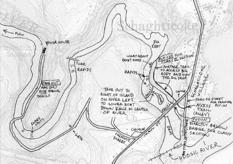
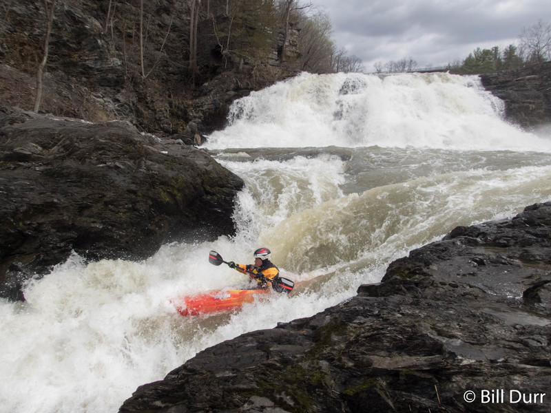
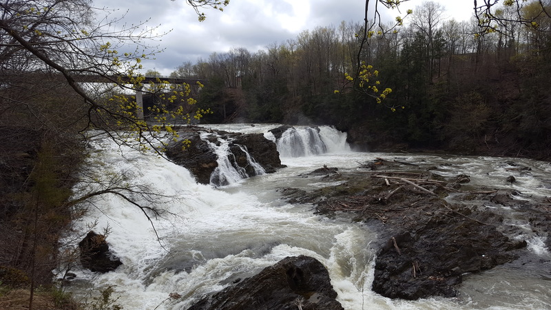
A dam in the town of Schaghticoke diverts the flow of the Hoosic river to generate electricity, de-watering the gorge. When flow exceeds generation capacity (about 1600cfs) the remaining water enters the gorge and paddling becomes possible. The gorge drops about 150 feet in total, but most of that gradient (100 feet including the dam) comes in the first 4/10 mile. There are two distinct sections to the gorge, the upper and the lower. The upper can be run alone, it can be portaged and the lower run alone, or both sections can be done together. A trail runs through the woods beside the upper gorge all the way to The Big Eddy and should be used for scouting.
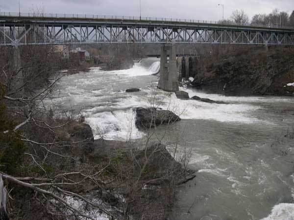
The upper gorge consists of a class IV drop, a class V waterfall, a section of unnamed class III+, and a final class IV. The first drop is under the Rte 40/67 bridge (see photo below 'Under the Bridge'). This rapid changed significantly in 2015/2016 when the old bridge was demolished and a new one constructed. The class V falls follows shortly after (see photo be
...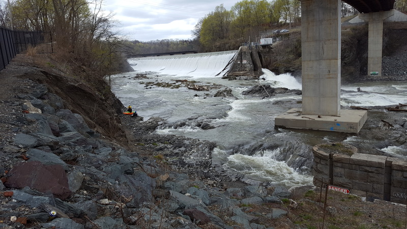
This rapid changed significantly in 2015/2016 when the old bridge was demolished and a new one constructed. There are several potential lines through and this rapid should be scouted carefully from shore.
The put-in is just at the top of this rapid.
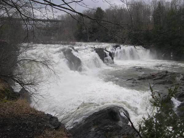
Immdiately downstream of the bridge is large island toward the river right. It is best to take the right channel and eddy out on the downstream end of the island to take a look at the Big Drop. At all but the highest flows you can scout and portage from the island. Make sure that you scout this from the carriage road (see: Scouting the Upper Gorge, above) to make sure that a portage is an option. The right channel route of Big Drop does not have a pool beneath it, but it is not a straight vertical drop. At higher water flows the landing is cushioned enough. At low flows, the landing will be too hard to attempt.
Latitude/ longitude coordinates for the rapids are approximate, from Google Maps satellite and terrain views.
Immediately downstream of the Big Drop there is another drop. There are at least 3 routes. Far river left is easy but it is only safe at higer flows: Scout closely from up close! There is a nasty sharp rock at face level sticking in the extremely narrow channel. The center channel is the most fun at moderate to high levels, but be sure to scout that also, especially at lower levels. The far right channel seems to be runnable at all levels. It is only way to go at extremely low levels. Beware of hole that may form here at higher levels.
What About Bob? is named after Bob Mackie. The beginning of the rapid is soon after the above unnamed rapid, but the tail end of the rapid can best be seen from the Big Eddy at the end of the carriage road. During the flow study we scouted and saw that, while runnable, the channel to the far river right is much more challenging than the center channel. Bob had decided to try to avoid the right channel. The problem is just above the rock that divides the river into those two channels is a funnel feature that really picks up speed through the rapid. Bob tried to make his way back to the left after the funnel, but failed. He was forced into the running the right channel. He disappeared from sight to all the others at the eddy above the funnel. Things went OK for him. I think he swam, but he wasn't the only one who swam at 'What about Bob?' (I think I managed to stay in my boat until I washed into the Big Eddy before I swam.)
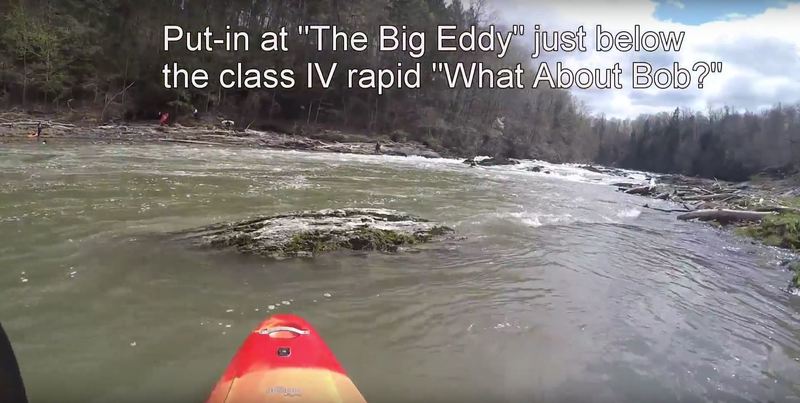
The Big Eddy acts as a take-out for the upper gorge, a put-in for the lower gorge, or just a nice place to catch your breath after running What About Bob? An access trail runs along river right and leads straight to The Big Eddy.
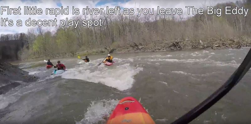
After the Big Eddy, there is a nice little hole on river left(depending on the level) for playing in.
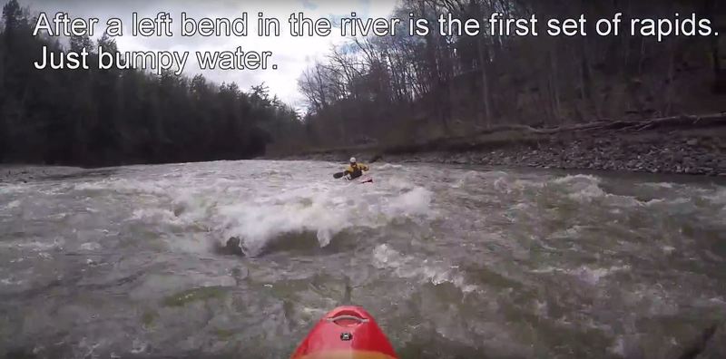
After leaving The Big Eddy and taking a left turn you will encounter a long section of riffles.
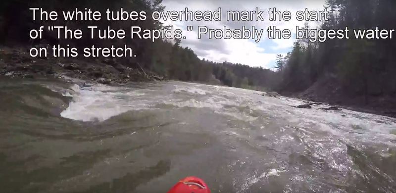
The Tube Rapids begin shortly after passing under the white water tubes. There are several boulders here for ferrying back and forge, a few ledges and holes for play, and wavetrains at some levels.
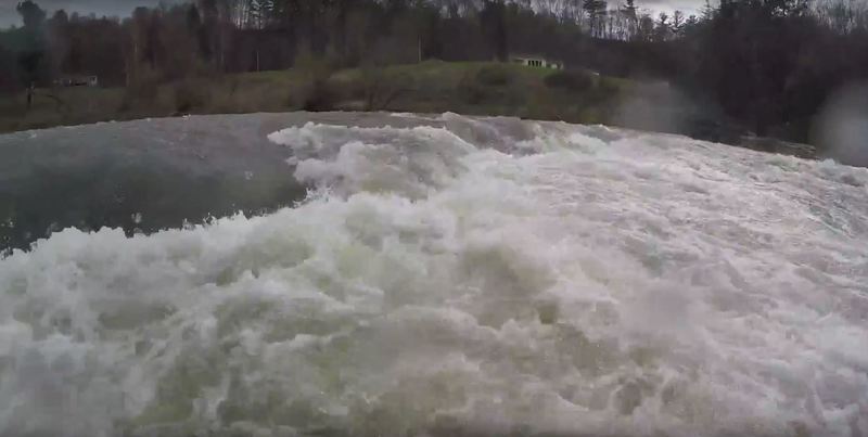
A ledge forms a large hole near the end of the the Tube Rapids. Could potentially be access from downstream at a put-in on Powerhouse Rd just before the bridge. Might work as a park and play spot.
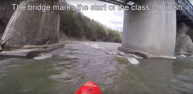
As you pass under the Powerhouse Rd. bridge you hit the final stretch of rapids, a scratchy set of riffles.
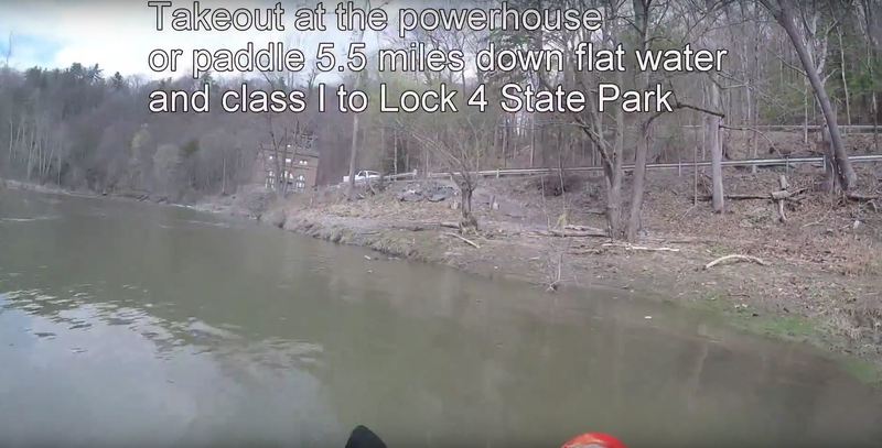
Take-out is at the powerhouse. Alternatively you can paddle 5.5 miles downstream to Lock 4 State Park at the confluence with the Hudson. Paddle from here is class I at best.
Apr 22, 2017
Take-out is at the powerhouse at the end of Powerhouse Road. Road is dirt, bumpy, has a one-lane bridge, and only enough parking for 5 cars. Alternative takeout is 5.5 miles down flat water and class I to Lock 4 state park, a pretty fun paddle for canoes or longboats, not so much for playboats.
Apr 22, 2017
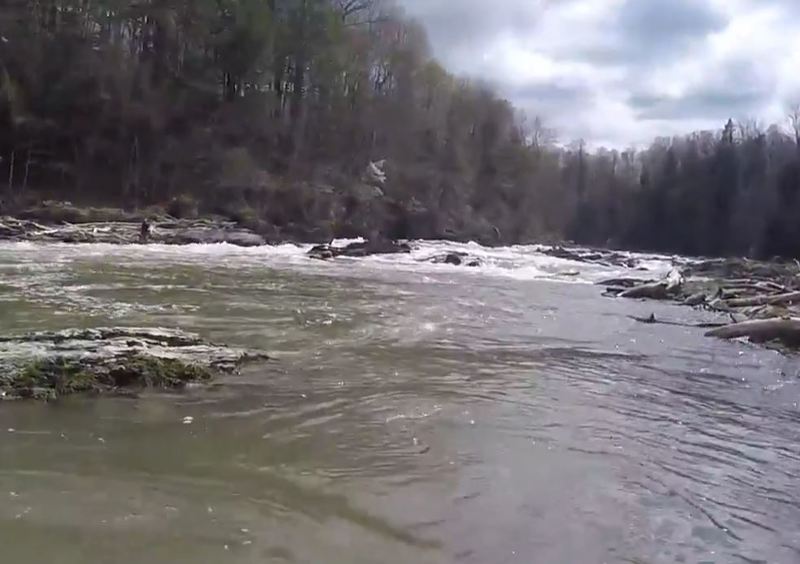
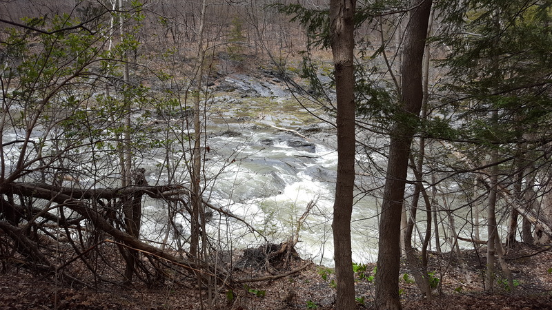
View from below 'What About Bob?' The river-left path is a fairly easy drop, the river-right path funnels you through a small and difficult chute. The current above is strong and can push you right even if it isn't where you wanted to go.
Apr 22, 2017
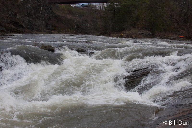
The start of the 'What About Bob?' Rapids. There are two paths. River-left is easier, but the current forces many into the harder river-right line.