Cuyahoga
A1. Riverfront Park to Portage Trail Bridge
Sep 8, 2016
Enjoying a beverage and the show from the deck of the Burntwood Tavern.
Jul 14, 2012
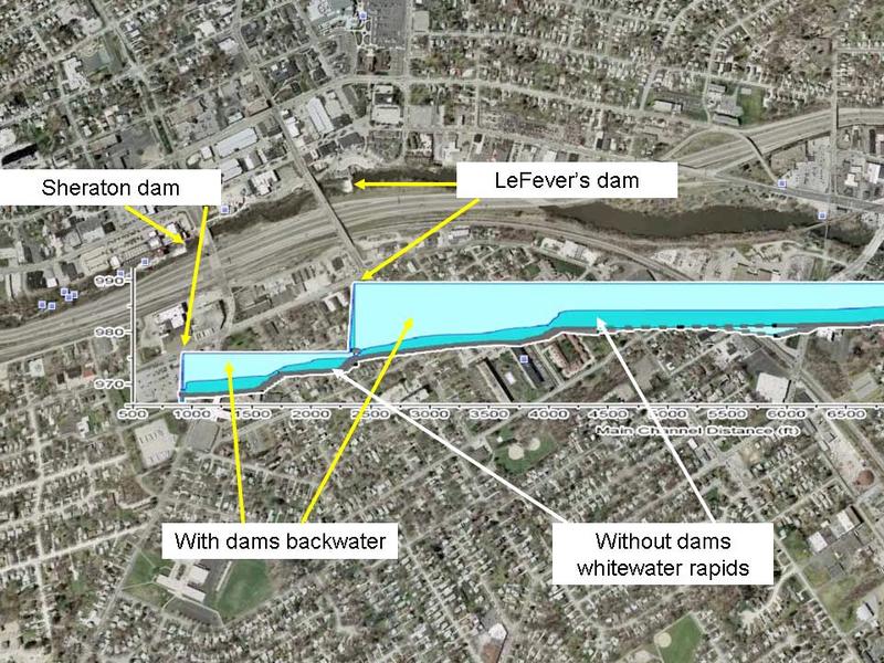
Here is an idea of what the gradient may look like once the 2 dams are removed in downtown Cuyahoga Falls.
Jul 11, 2012
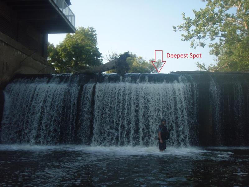
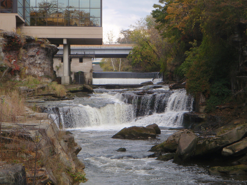
The landing zone is a river wide rock shelf that is 2-2.5 feet below the surface at the low flow in this picture. A delayed boof and shorter boat will make the landing manageble. Note that there are large 'rooms' behind the curtain as the dam is hollow in design.
Feb 16, 2012
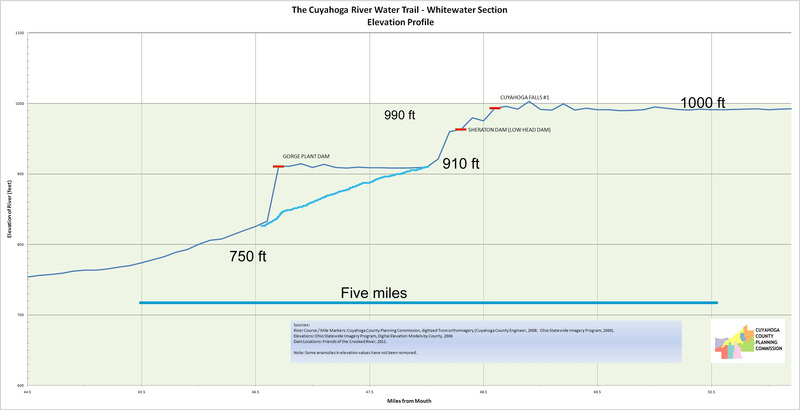
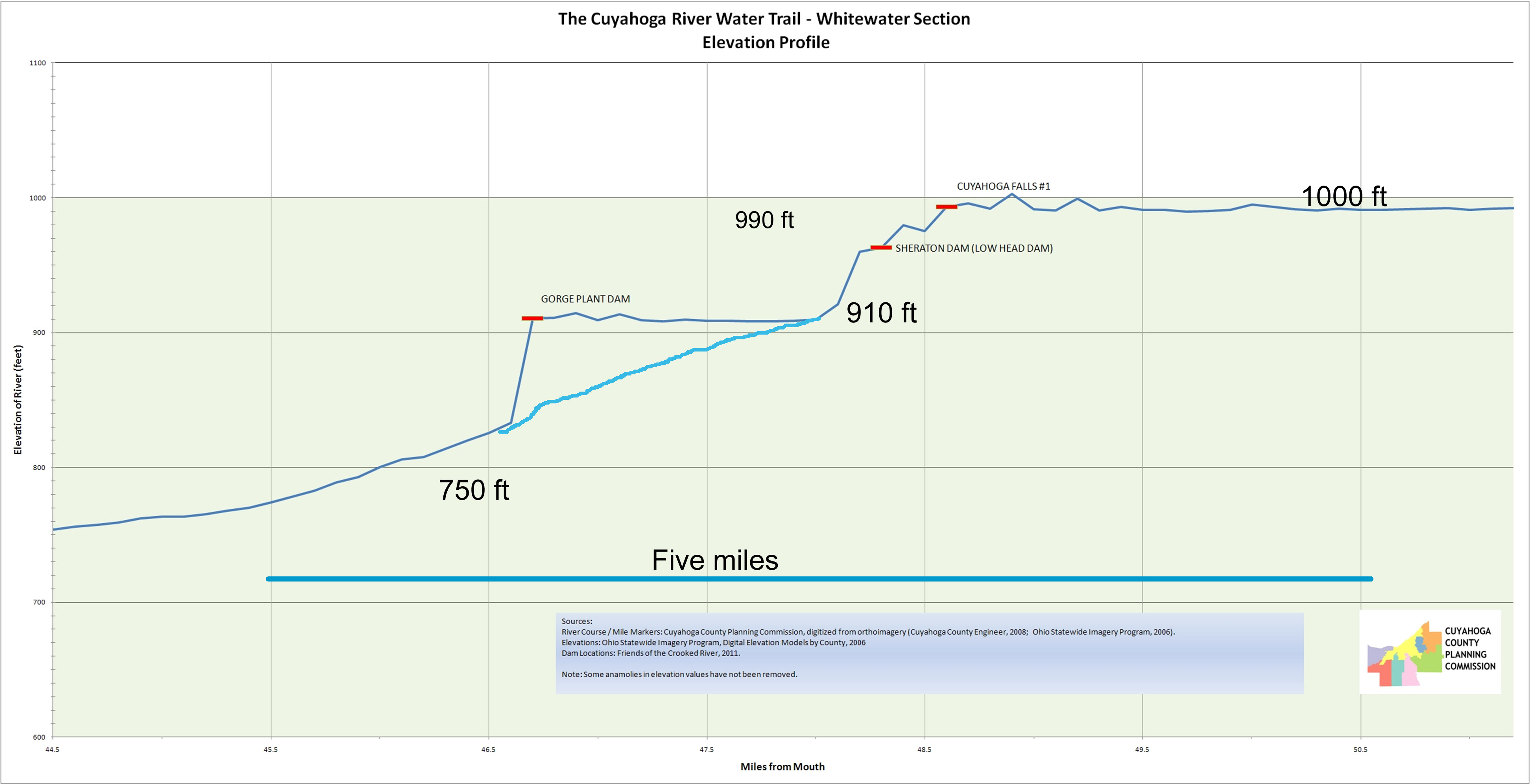
This figure presents river surface elevation data gathered during some of the River Trail projects. It presents a rough idea of how steep this section will become from Route 8, pass the 2 former dam sites, through the last drop below the Sheraton and to the start of the Ohio Edison Dam pool (~90 feet over 0.9 miles) and all within walking distances.
Feb 15, 2012
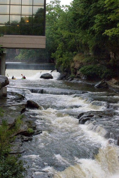
A low water view from below.
Feb 15, 2012
Doug and Enrique discussing the day when this dam is no more.
Feb 15, 2012
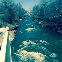
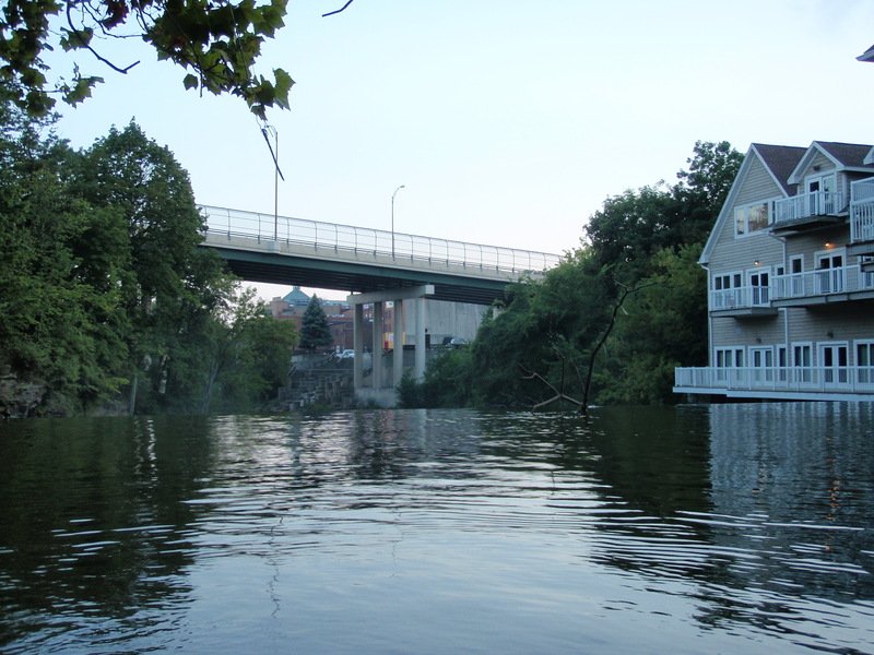
Looking downstream and wondering what lies below the dam pool.