Moodna Creek
Pleasant Hlll Road to 9W(Murderer's Creek)
Dec 20, 2024
Apr 12, 2021
Dec 27, 2019
Clean of wood by Moodna /seldom run river standards. No wood in the way from Pleasant Hill Road to Forge Hill Road on Dec. 22nd (after December's ice storm). Of course there's always some wood on the outside of bends and things could move...
Apr 29, 2014
Ran 4/27/14 with Ramapo at 285 cfs and Rondout at 462 cfs. Good level, 1 or 2 spots where we were scraping bottom. Lots of wood. Didn't see the I-Beams.
Jun 8, 2013
Ran the mighty moodna this afternoon - ramapo gage was roughly 1k. Fun level. Lots of wood on the lower section, esp downstream from the factory. Use caution and don't be afraid to scout...
Mar 15, 2011
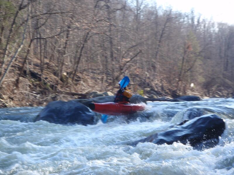
Bottom of the rapid, showing the hole you may want to avoid. 900 CFS on the Ramapo (@ Mahwah), and 1750 on the Rondout (@ Rosendale) gauges.
Mar 15, 2011
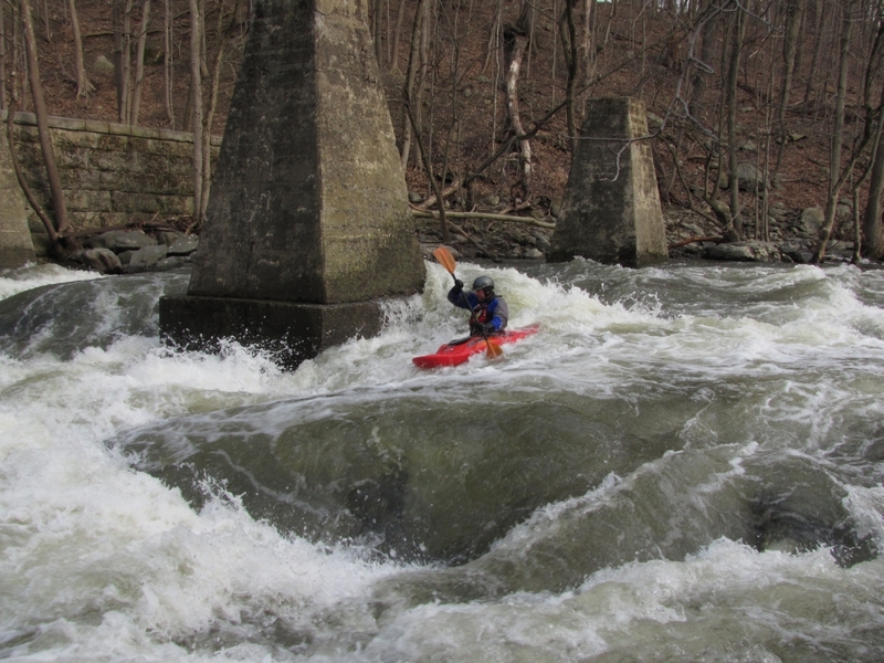
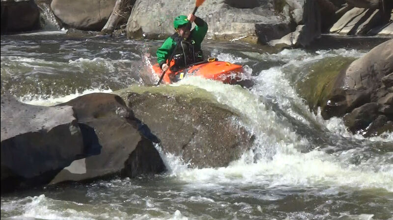
Jeff skirts the main pillar at Hells Teeth.
Dec 14, 2010
Mike Fine Hell's Teeth at ~4.5 feet on the Ramapo gauge
Dec 5, 2010
Hell's Teeth at about 4.5 on the Ramapo gauge - Featuring Mike Fine
Feb 23, 2008
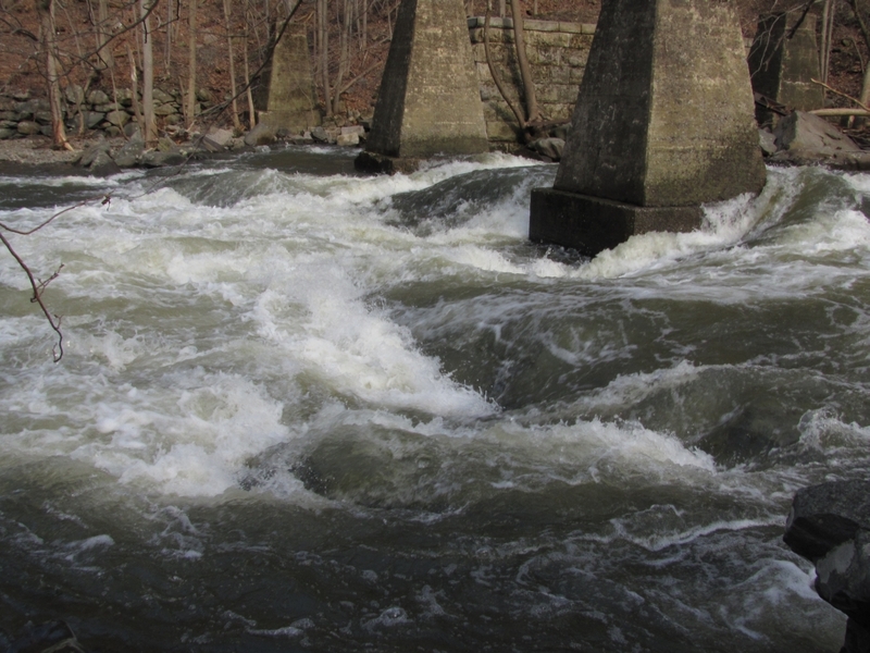
The Fang is the only bridge abutment that is in play at all water levels. Pictured on the 5th day after a spike from 600 to 1500cfs.
These are the 'Hell's Teeth' River Left Bridge Abutments that are seen from way upstream signalling you are at the top of 'Hell's Teeth'.
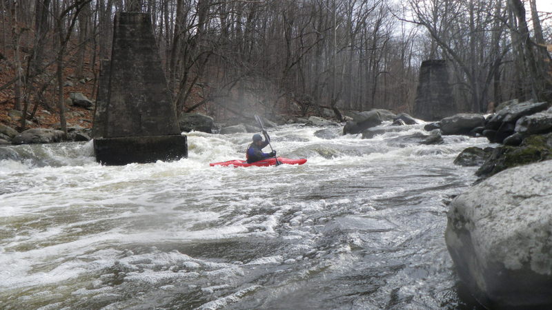
Chilly February run on the Moodna on the 5th day after the gauge hit 1500 cfs. In the summer it won't hold like this.
At just under 30 degrees we walked it at this low flow just showing a measure of respect. Bill Canfield, Wayne G. and Dave B.
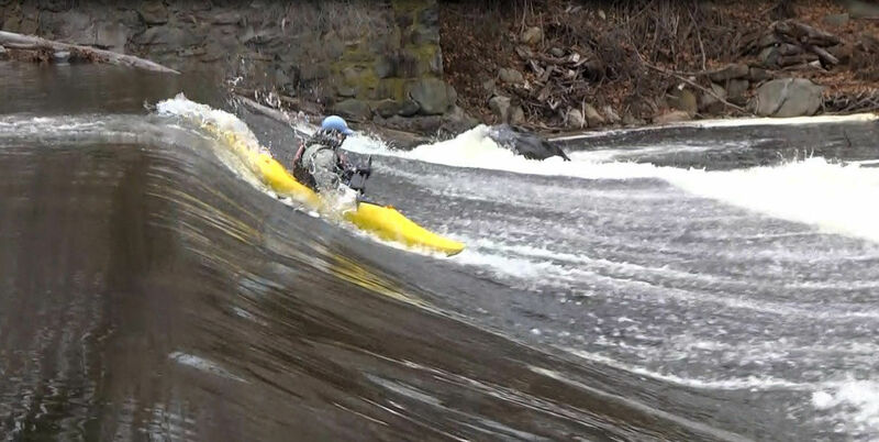
After a fresh snow a snowman seemed like good fun to run the 1st shallow dam.
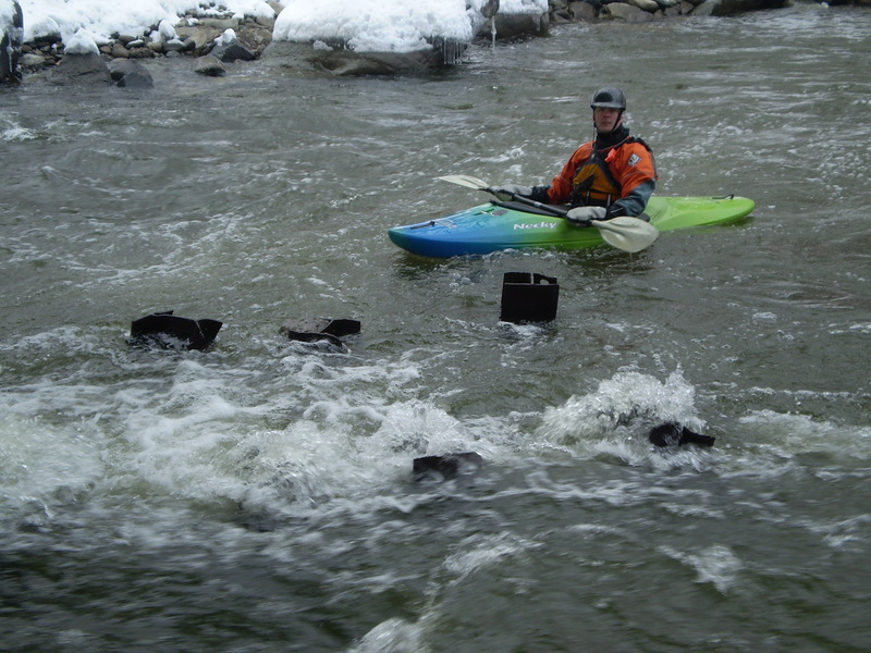
Bill Canfield showing how nasty 26-ish beams are under the Bridge. Very scary at higher flows setting up a roll as you wash out the bottom of Jaws and under the bridge where the hazards are. The beams seem to be cut 3 feet higher than the current arrangement of the river bottom..... we've never seen it totally dry yet.
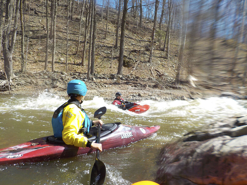
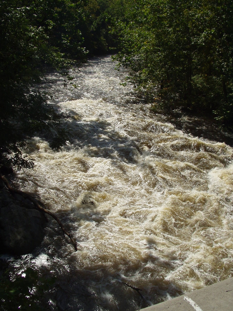
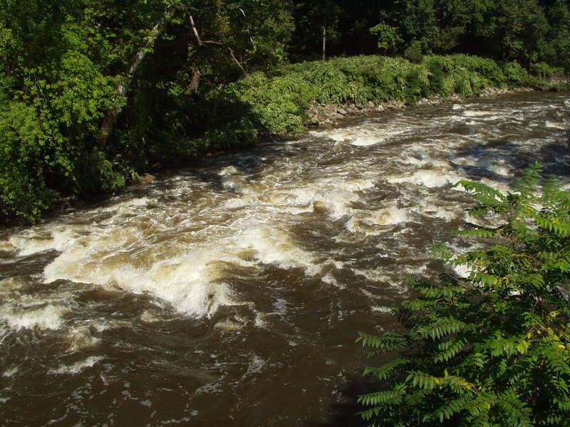
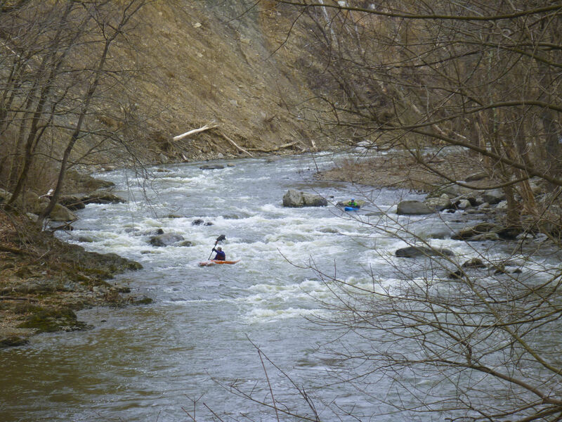
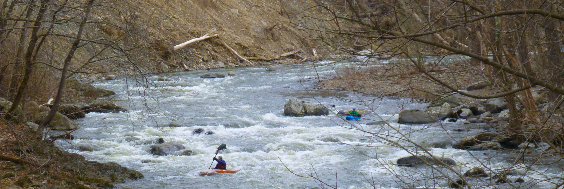
In the first couple miles there are very pretty quiet water sections.
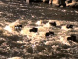
Wide shot of the 26-ish steel i-beams that lay waiting for center pins, end to end pins as well as to rake any roll setups or swimmers. Boat river right or swim river right for safest lines.
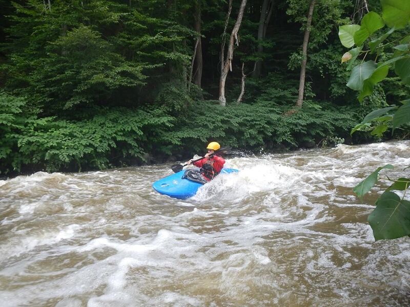
Upper Putin just under freezing for a first run on the Moodna
Jan 12, 2008
Avoid center of channel below bridge
Nov 20, 2007
I was pinned on these a day or two before. When this happened, thet were below the waters surface and I did not see them until last minute. They can potentially cause a fatality since I was pinned for a minute (right side up, thank God). Go left or go right under the bridge and if you cant, stay straight ahead. Don't go sideways.
Apr 21, 2007
Ran this on 4/21/07. When we ran it, the Ramapo at Mahwah (which is what you are viewing for a gauge on this site) was at 4.90 ft when we took out (a look at the graph shows it dropped mabe 0.5 from when we got on). The Rondout at Rosendale was at 10.94 ft (which also didnt change much) when we ran it. In otherwords, this river holds water very well and will have water in it when other things do not. In fact, it had not rained since that Monday, we ran it on a Saturday. At said level, instead of doing that ferry everyone talks about, we simply ran the meat of things above the abutments, going from center angled right. Just before passing the between the two abutments on the far right, reangled the our kayaks toward river left playing closer to the abutment on the left than the one all the way river right, boofing a log that was well under and easily going over rocks and whitewater. No hole on this side to worry about. I was worried of getting pushed to far right (toward the furthest right abutment), but this was not an issue for me. Although I can paddle CL4 rivers, I do not consider myself a CL4 paddler yet and on such rivers I'm pushing the envelope. However, I found this move easy and fun but wouldnt want blow this line or roll either. I also wonder what may be lurking underwater since I noticed a lot of made-made stuff near the riverbank (update: viewed this at below runable levels and there dose NOT appear to be any manmade metal junk in the river here. However, be heads up for wood. It's ofted wood gets caught up due to the pilons). Also unfortunitly, my friend said when he ran it the last time at a lower level, the above option we took was not doable that day due to a lack of water and had to do that ferry and cut near the dreaded hole. (I might have opted to portage had I been there that day). It looks to me this would be real serious at much higher water as well.
This river is about 65 miles from The Triborough Bridge, NYC. You can take 87 north to exit 16 then take route 32 going north (I belileve it's a right turn, not sure). You will soon see the river on your right. See above for directions to take out. FYI it's about 11 miles from I-87 to 'five corners'. I found the CL2 section fun as well. I wouldn't put-in below it and miss out on it.
Sep 16, 2006
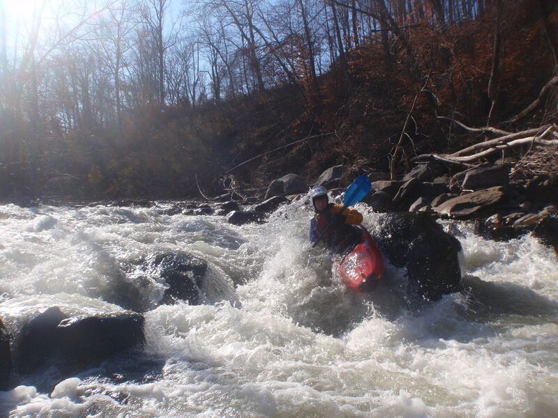
I don't remember the date of this photo (I'll have to check my records) the level was pretty high. 'Hell's Teeth' was approaching class 5 that day.
This is the rapid above the Old Forge Rd. Bridge. You can see the bridge in the bottom of the photo
Jan 1, 1900
Hurricane Irene carved out this big rock and a 3-4 foot drop about 100 yards below the 2nd dam. Over the years it has become somewhat less dramatic and at high enough water it starts to wash out. There is a nice 100 foot wave train now just below here.
Jan 1, 1900
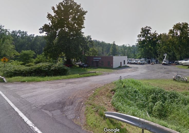
showing the entrance to the new windsor water department and kayak launch
Jan 1, 1900
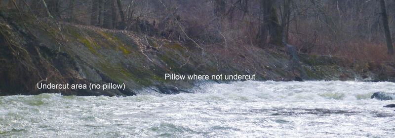
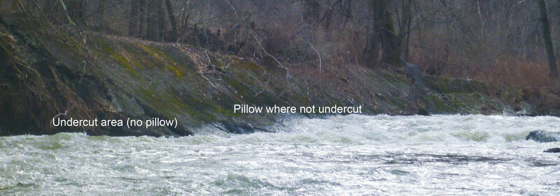
bottom of factory rapid showing where retaining wall is getting undercut.
Jan 1, 1900
Surfing at factory rapid waiting for folks who portaged 2nd dam
Jan 1, 1900
Straight down the middle, look for the boof launching rock.
Jan 1, 1900
Right line on rootball - last significant rapid. Straightforward if scouted.
Jan 1, 1900
This is the last rapid before you take out. The photo was taken from the Old Forge Rd. Bridge.
Jan 1, 1900
Chris D. on the 1st dam
Jan 1, 1900
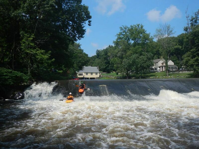
Committing boat abuse on the 1st dam...if you like your boat's bottom a lot, portage river right.
Jan 1, 1900
Rapid below 1st dam.
Jan 1, 1900
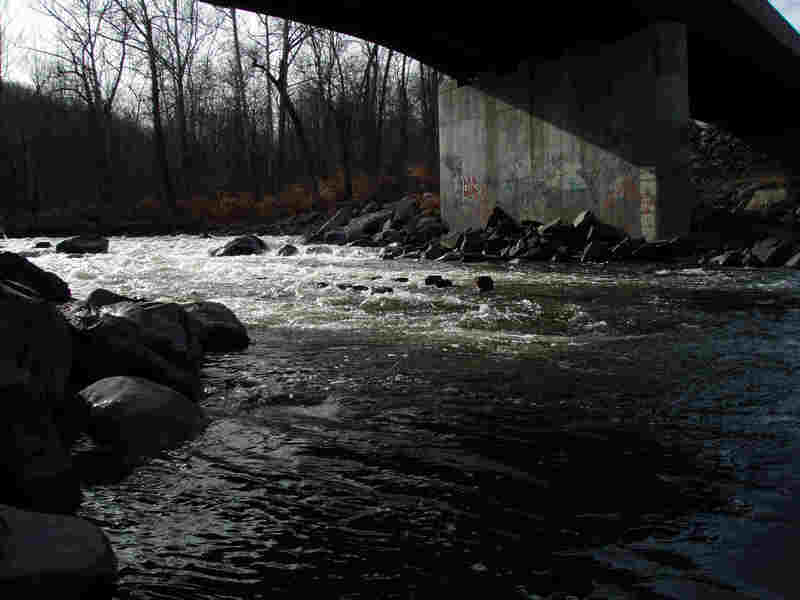
Photos of Jaws (under the bridge)