Enoree
1. SC Route 14, Pelham, to SC Route 296

Sep 28, 2025
Ran a section of this today with the gauge at 4.2. There were still some fun play spots along the way, but I wouldn't recommend making the trip at this level unless you're feeling similarly antsy and eager to get out on the water.
There's two or three significant trees down on the river in the first two miles that could be problematic at higher levels. They are very visible and are in slow moving water, but it would definitely be a pain to portage on the banks on most of this run. We'll see if some creative lines emerge at those higher levels though!
Jun 27, 2025
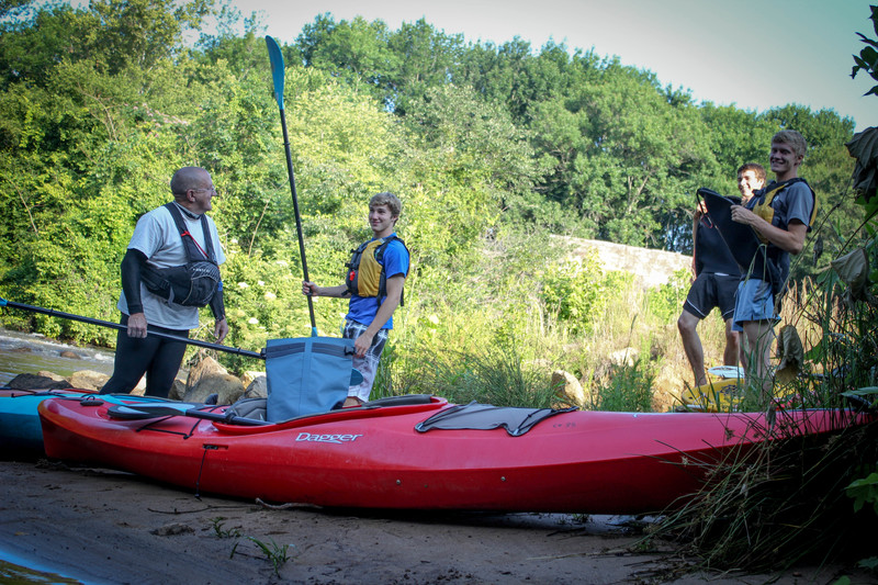
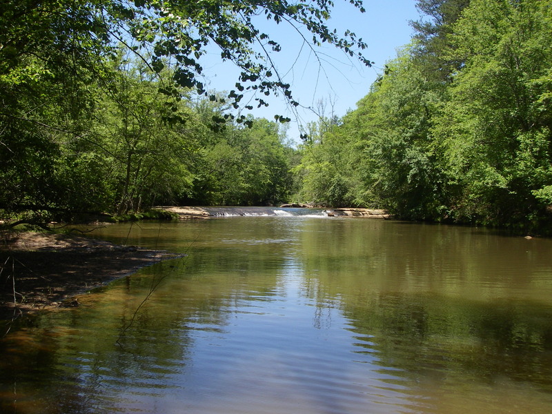
We ran this at 4.4 on a Friday after work. We put in at Pelham Mill dog Park, just below the dam. The majority of the river was a little scrapey at this level. Would love to do it at 5+. The first significant feature is a small dam which is very easy to get out at the top and scout. The river forks just below the dam. We went river left which has the better looking rapids and flow, but it led to a giant strainer at mile 1.1 from our put in. We portaged out river left. River right from the fork has a rock slide, but it was practically not runnable at this flow. There was another possible strainer at higher flow at mile 1.5 from our put in, but we were able to limbo under it at this flow. The rest of the rapids were super fun, and relatively sessionable. We used the recommended Vines Creek takeout which was not ideal. The creek was full of downed trees and debris from Helene. Still probably better than the 296 cliff you'd have to hike. Absolutely stellar run, would love to do it at a higher flow.
Jun 6, 2017
Ran today with water at 4.22. It's slightly, noticeably better than when we did it last year at only 3.90. Still, closer to 5.0 would be better. The cross-stream tree before you find your first rapid is still there, but can be scooted under at this level. No other trees are a problem. Didn't find any clear paths at the Hwy 296 bridge, so we again tugged the kayaks up Vines Creek (called Abner Creek by others here) marked by the 2 rope swings. Take out is creek left far side of Bennet's Bridge Rd. bridge. Someone even had mowed down all the grass and poison Ivy on that side of the bridge to make a clean carry path. Thank you! Pulling a kayak up a shallow, cool, sandy bottomed creek for 400 yards is sure easier than porting it up some infested trail to reach Hwy 296.
Aug 19, 2016
If you want to walk a little level, sandy creek bed instead of climb a steep, brushy bank, try taking this Vines (Abner) creek route on river-left between 2 rope swings if the water isn't absolutely roaring. It's about 400 paces up the creek to Bennetts Bridge Rd. where there's a brush-free exit creek-left just past the bridge. Parking seems fine there too.
Aug 19, 2016
Ran mid-day 8-18-2016 water level 3.90. There are a few cross-stream trees, one of which you can barely scoot under at this low level. The others you can scoot over and would be no problem with higher water. Some drops are not worth doing at this low level, but a few still challenge. I skipped the ones with too much exposed rock. The way that 4.0 feet is 'runnable' is more that you can possibly find a way to stay off the many mid-river sand bars and make decent time down the river, than it is an indication that most of the drops are runnable. Only about half are carrying enough water. Recommendations to stay over 5.0 feet seem reasonable for a good run.
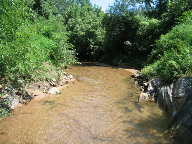
After scouting possible takeouts 2 days ago, including at the 296 bridge which is still overgrown, I walked down Vines (Abner) Creek from Bennett's Bridge Rd. and found it shallow enough to walk easily on the sandy bottom. It's 400 yards from it's confluence with the River to Bennett's bridge, so we did the take out by walking up the creek, towing the kayaks in 4-6 inches of clear water with a clean sandy bottom. There's some room for parking by the bridge over Vines and a nearly clear trail up on creek-left, far side.
See picture added today for this easy, low-water walk out. There is no signage indicating this is not an allowable exit point.
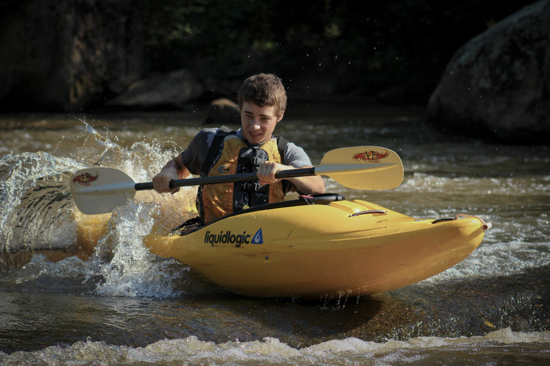
Jul 12, 2014
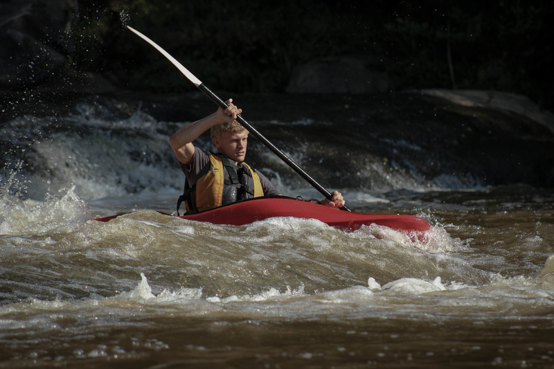
The first rapids of our trip down the Enoree River. Andrew found his way down without spilling out of his kayak.
Photo by: WillPaul
Jul 12, 2014
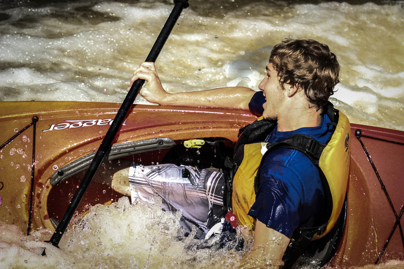
The third rapids on our trip prooved to be the hardest to navigate.
Photo by: WillPaul
Jul 12, 2014
The third rapids on our trip prooved to be the most difficult to navigate.
Photo by: WillPaul
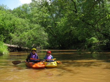
Jul 12, 2014
Putting in the Enoree River early in the morning. Luke (far back) was sleeping by the end.
Photo by: WillPaul
Jul 11, 2014
We put in at the Hwy 14 bridge on the right side of 14. The river was a little low that day because it was mid June and hadn't rained for a while. Overall the river was nice and the rapids were still on point. At the end we did a takout at the 296 bridge (it was marked by orange tape on the left side of the river courtesy of Cody's Kayaks).
Apr 25, 2010
Great beginner run when it is between 5 to 6'
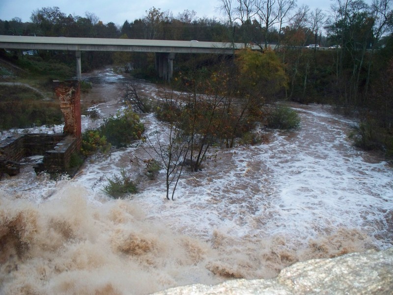
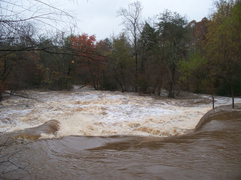
Nov 11, 2009
I would be careful if you try this. Enoree at 10.5
Nov 11, 2009
Pelham Falls at 10.5- 10.9 ft
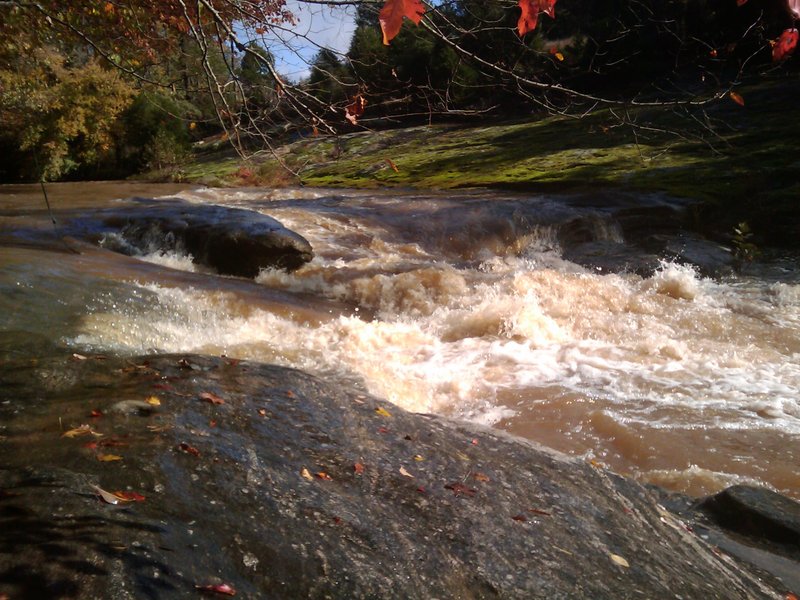
Oct 28, 2009
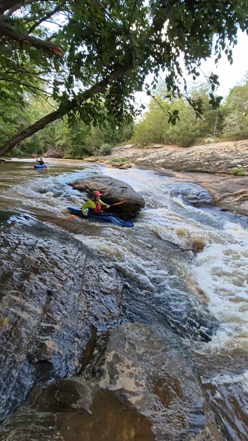
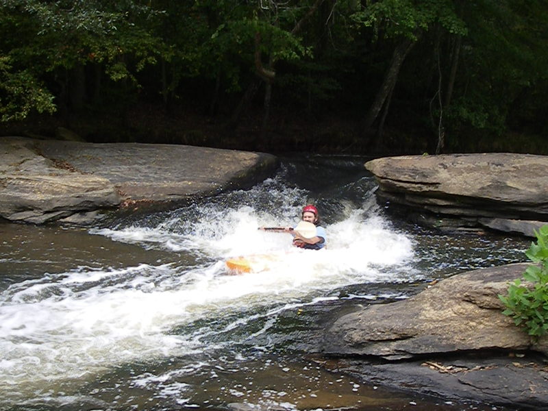
This is the last big rapid on this section...good little play spot at lower flows. River was at 5.20 ft
Oct 28, 2009
This is a video of this rapid.
Oct 28, 2009
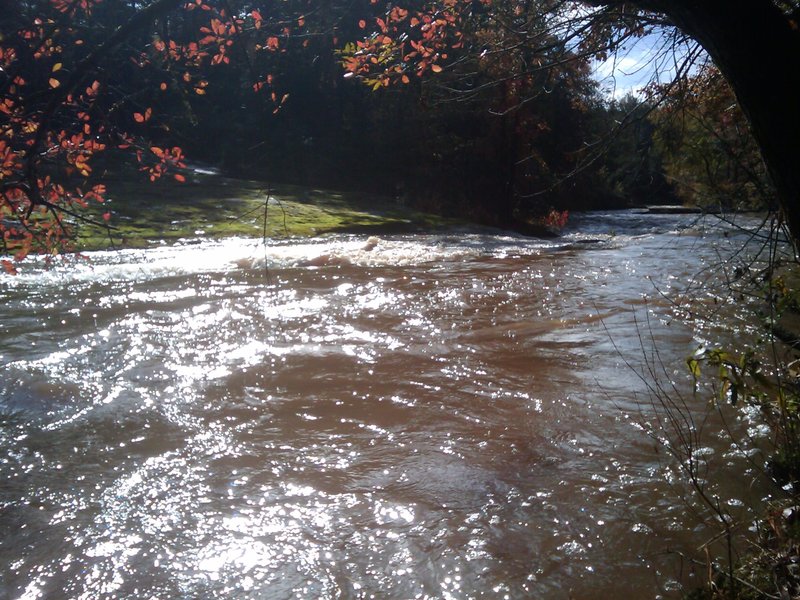
This is the river before final rapid...at lower flows the slot is always right and the water pushes you back left in between the rocks....at higher flows....over 5 ft you can go either way left or right but it looks like if you go right, you'll be hit with a pretty big side current coming from river left...may roll you.
Oct 28, 2009
This is the first big rapid at the dam on this section. Flow was at 5.20...fun ride but definitely forming a hole at the base at this level...Tried to suck me back into the rapid a little.
Sep 15, 2009
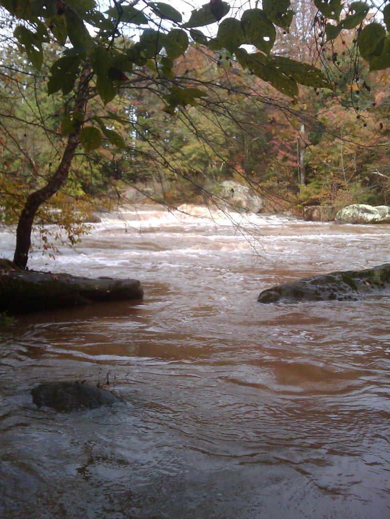
last rapid befor 296 lots of down trees most you could get over or under afew you did have to portage and a llittle knuckle walking but not too much
Sep 4, 2009
low water