Enoree
1. SC Route 14, Pelham, to SC Route 296
| Difficulty | II-III |
| Length | 4.9 mi |
| Avg Gradient | 11 fpm |
| Gauge | Enoree River at Pelham, Sc |
| Flow Rate as of 40 minutes | 3.79 ftbelow recommended |
| Reach Info Last Updated | August 9, 2012 |
Takeout below the confluence with Abner Creek.
Todd Corey shared:
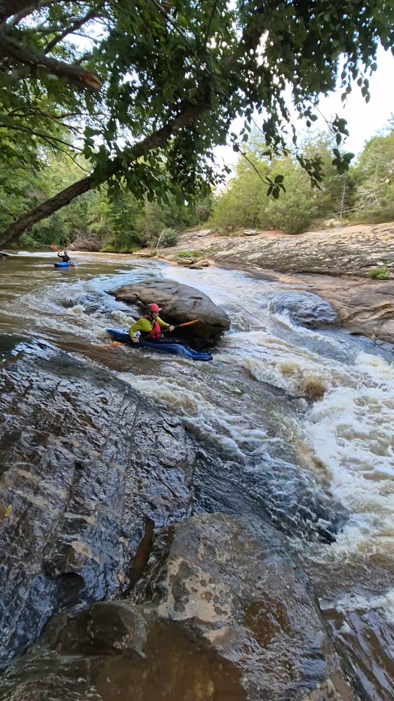
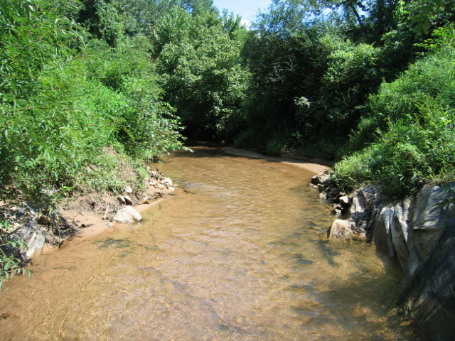
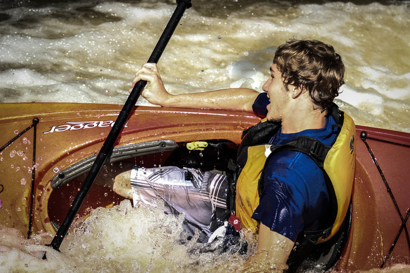
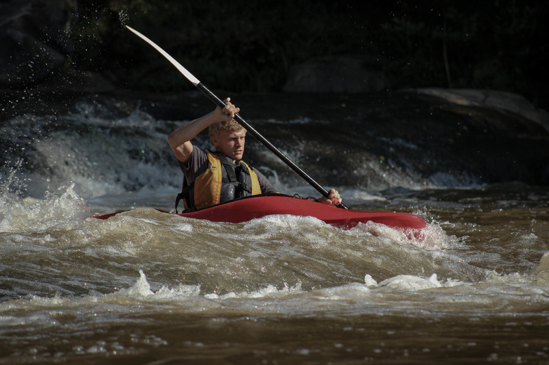
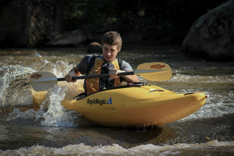
I ran this section on 4/24 with my 14- and 11-yr-old. We put on at 2 pm and took off at 5 pm. The river was running at 5.5' and was a great level for an entry level kayaker. The kids walked the dam and the last rapid. Other than that, everything was good to go. There are a few places to play as well, so take your playboat with you. Just don't spend too much time underwater since it isn't the cleanest whitewater you can find. The people walking the trail along river right of the river enjoyed the show. It also makes it easy for you to get out and hike back up to the top of a rapid in case you want to run it again. This is primarily class II with a couple of class III's thrown in. We enjoyed the trip and will head back again given the right water levels.
Another commenter:
I've paddled this section three times. At below 4 ft it's very rocky in spots. At almost 5ft it's a good paddle with some great little spots especially the spot in one of the pics....great playspot. I would recommend running this at 5 or 6 ft for a great ride...the takeout at 296 is no a fun hike with a kayak...beware.....we took out there and my friend got attacked by yellow jackets....there is a nest if you take out river left be careful and stay on the path.
Jim Spears contributed:
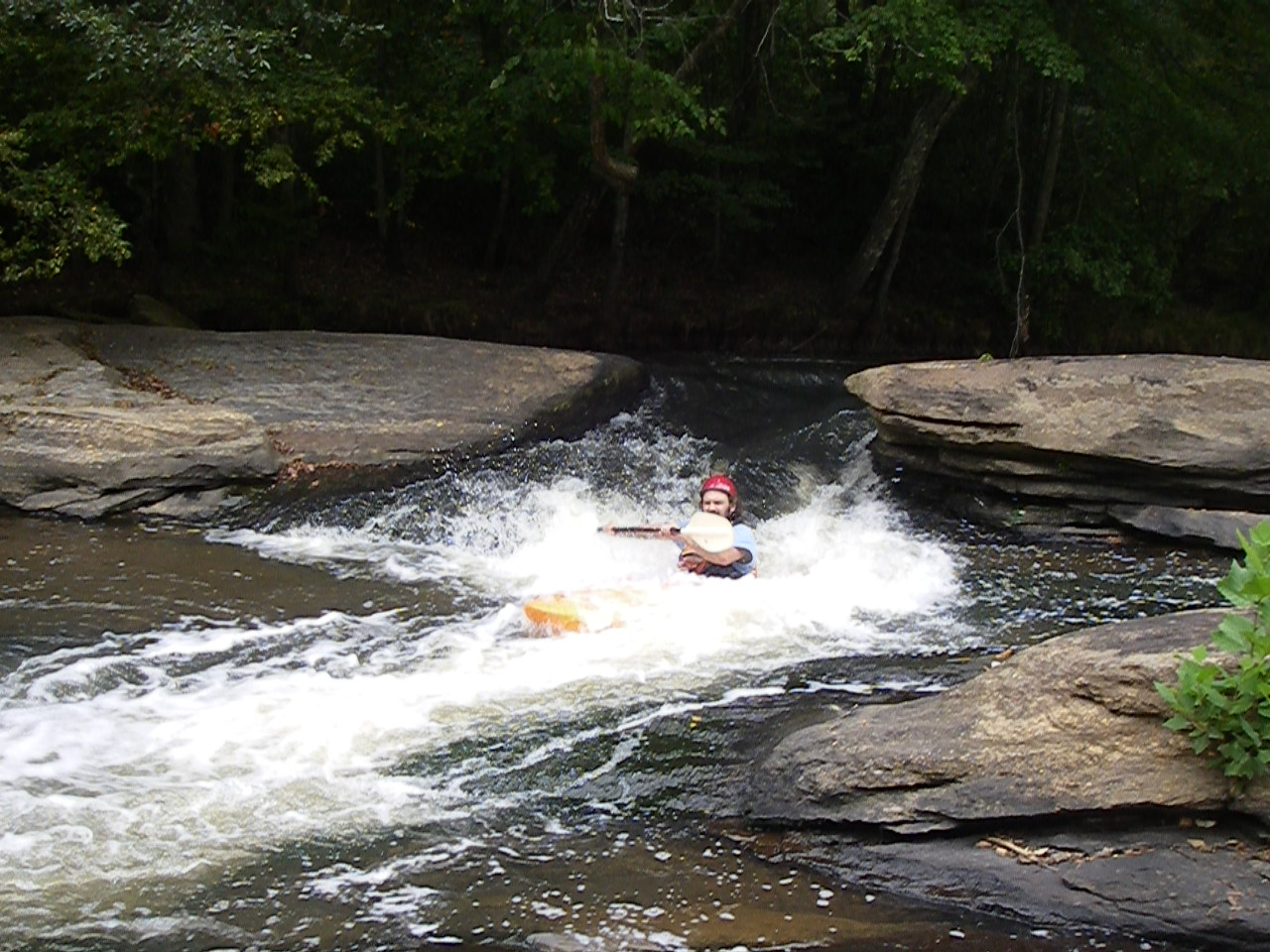
I have only paddled this section once several years ago. It is in a fairly developed area now. On river right for the first mile or so there are large houses. This section has some nice small whitewater features. The problem is that the takeout at the first bridge Hwy. 296 (Reidville Rd.) was real grown up. We opted to paddle the next section also from Hwy. 296 to Hwy. 417. That was a mistake. There were an incredible number of riverwide deadfalls on that section. We ended up pushing our canoes down the river and lifting them over the obtacles. The upper section, however, is something to look at for easy whitewater
...Sep 28, 2025
Ran a section of this today with the gauge at 4.2. There were still some fun play spots along the way, but I wouldn't recommend making the trip at this level unless you're feeling similarly antsy and eager to get out on the water.
There's two or three significant trees down on the river in the first two miles that could be problematic at higher levels. They are very visible and are in slow moving water, but it would definitely be a pain to portage on the banks on most of this run. We'll see if some creative lines emerge at those higher levels though!
Jun 27, 2025
We ran this at 4.4 on a Friday after work. We put in at Pelham Mill dog Park, just below the dam. The majority of the river was a little scrapey at this level. Would love to do it at 5+. The first significant feature is a small dam which is very easy to get out at the top and scout. The river forks just below the dam. We went river left which has the better looking rapids and flow, but it led to a giant strainer at mile 1.1 from our put in. We portaged out river left. River right from the fork has a rock slide, but it was practically not runnable at this flow. There was another possible strainer at higher flow at mile 1.5 from our put in, but we were able to limbo under it at this flow. The rest of the rapids were super fun, and relatively sessionable. We used the recommended Vines Creek takeout which was not ideal. The creek was full of downed trees and debris from Helene. Still probably better than the 296 cliff you'd have to hike. Absolutely stellar run, would love to do it at a higher flow.