Enoree
1. SC Route 14, Pelham, to SC Route 296
August 19, 2016
| Reporter | Glenn Atkisson |
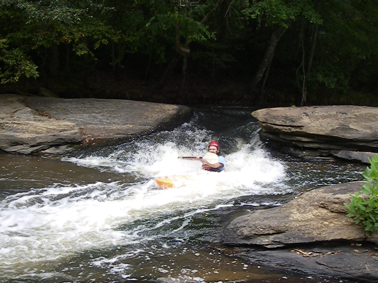
Ran mid-day 8-18-2016 water level 3.90. There are a few cross-stream trees, one of which you can barely scoot under at this low level. The others you can scoot over and would be no problem with higher water. Some drops are not worth doing at this low level, but a few still challenge. I skipped the ones with too much exposed rock. The way that 4.0 feet is 'runnable' is more that you can possibly find a way to stay off the many mid-river sand bars and make decent time down the river, than it is an indication that most of the drops are runnable. Only about half are carrying enough water. Recommendations to stay over 5.0 feet seem reasonable for a good run.
After scouting possible takeouts 2 days ago, including at the 296 bridge which is still overgrown, I walked down Vines (Abner) Creek from Bennett's Bridge Rd. and found it shallow enough to walk easily on the sandy bottom. It's 400 yards from it's confluence with the River to Bennett's bridge, so we did the take out by walking up the creek, towing the kayaks in 4-6 inches of clear water with a clean sandy bottom. There's some room for parking by the bridge over Vines and a nearly clear trail up on creek-left, far side.
See picture added today for this easy, low-water walk out. There is no signage indicating this is not an allowable exit point.