Enoree
1. SC Route 14, Pelham, to SC Route 296
June 27, 2025
Enoree River
| Reporter | Erik Teriele |
| Gauge Reading | 4.4 ft at ENOREE RIVER AT PELHAM, SC |
| Flow | Low Flow |
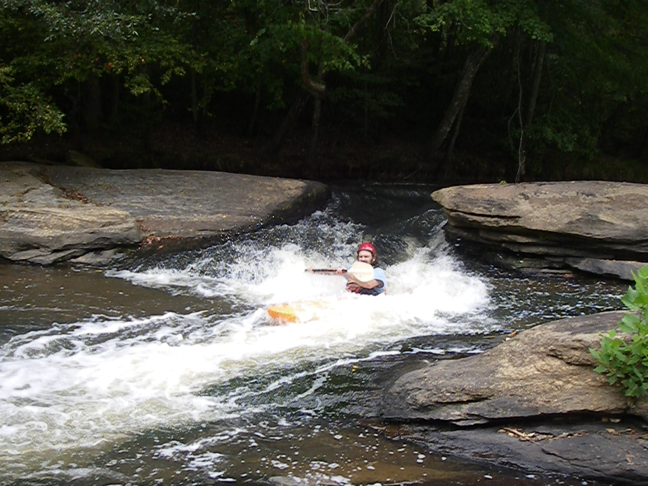
We ran this at 4.4 on a Friday after work. We put in at Pelham Mill dog Park, just below the dam. The majority of the river was a little scrapey at this level. Would love to do it at 5+. The first significant feature is a small dam which is very easy to get out at the top and scout. The river forks just below the dam. We went river left which has the better looking rapids and flow, but it led to a giant strainer at mile 1.1 from our put in. We portaged out river left. River right from the fork has a rock slide, but it was practically not runnable at this flow. There was another possible strainer at higher flow at mile 1.5 from our put in, but we were able to limbo under it at this flow. The rest of the rapids were super fun, and relatively sessionable. We used the recommended Vines Creek takeout which was not ideal. The creek was full of downed trees and debris from Helene. Still probably better than the 296 cliff you'd have to hike. Absolutely stellar run, would love to do it at a higher flow.