James
5. Lower James through Richmond(Reedy Creek to 14th Street)

| Difficulty | III-IV |
| Length | 2.5 mi |
| Avg Gradient | n/a |
| Permit | When the river is above five feet at the Westham gauge, a PFD is required when on the river. At 9ft and above, each person on the river is required to have a permit, carry a first aid kit and rescue line, and paddle in a group of 3 or more. The permit system is a result of a compromise between the boating community and the city which wanted to ban boating during high levels. The permit cost is $10 for two years and can be obtained at the Richmond Fire department located at 24th & Broad St. on Church Hill. There is no exam nor test required to obtain a permit. Nov 2024 Edit: There is no longer a formal permitting system to regulate traffic on the James during high-water events; however, incidents (especially during high water) bring negative media attention and risk limiting access to this section. At high water, many features appear that can create significant hazards for unprepared paddlers. Please do not risk the return of the permitting system by attempting something outside your experience level! |
| Gauge | James River Near Richmond, Va |
| Flow Rate as of 1 hour | 3.85 ftlow runnable |
| Reach Info Last Updated | November 4, 2024 |
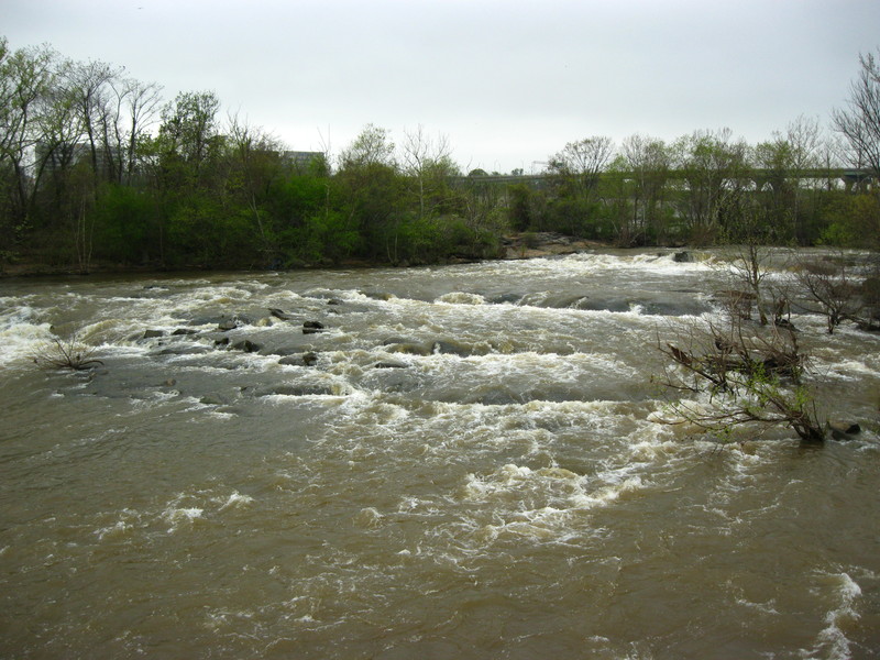
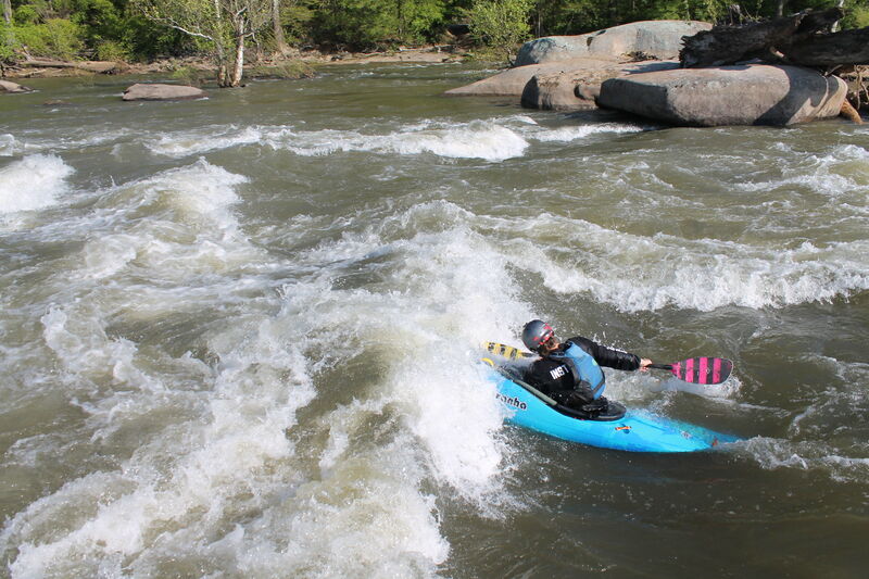
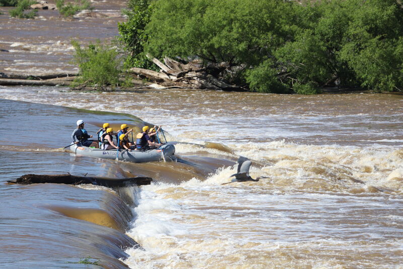
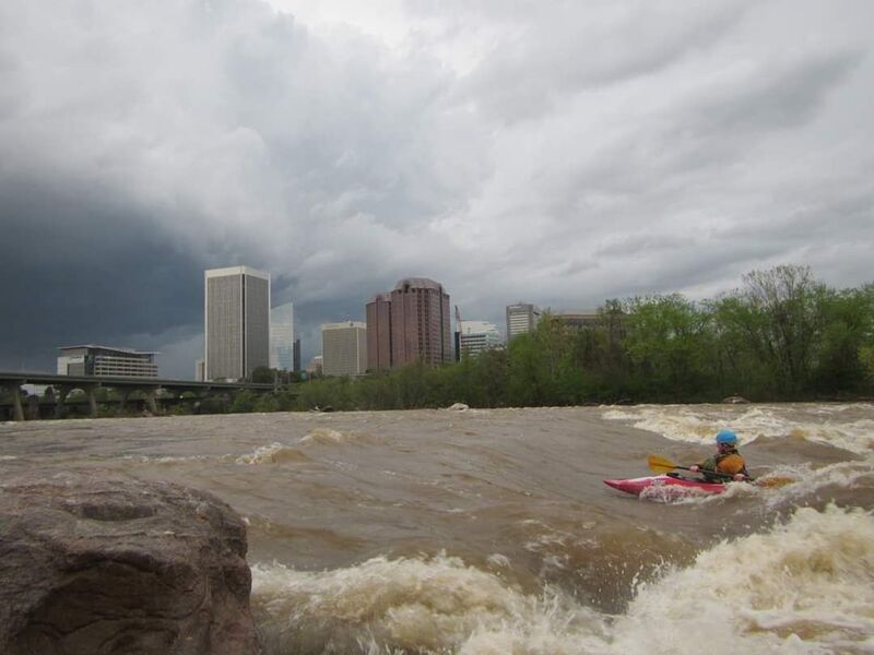
The Lower James is a whitewater gem running through the heart of Downtown Richmond. Boaters who live or work in the area can typically reach the put-in/takeout within twenty to thirty minutes. The shuttle is easy and can be road biked, mtn. biked, via the buttermilk trail, ran, or driven. This is a short run but multiple laps are easy and common. The river provides numerous features for play and skill development. The Lower James runs year-round and has a wide range of runnable levels. The character and features available throughout this range offer year-round variability and provide an excellent training and playground for intermediate and advanced boaters. Refer to the Flows tab for classification based on the river level.
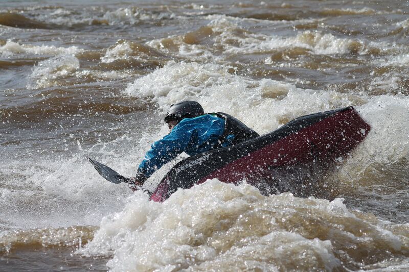
Being an urban run, many natural and manmade hazards exist such as low head dams, keeper holes, rebar, hidden debris, and strainers. At optimal levels, the run is not overly difficult, but the lines are not obvious and intermediate boaters should seek a friendly local guide for their first run. Due to the considerable width of the river and hazards present, boaters are cautioned when considering running this section at flows above 7ft.
For a 3-day river level forecast visit https://water.weather.gov/ahps2/hydrograph.php?wfo=akq&gage=rmdv2
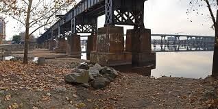
The Reedy Creek put-in is in a the James River Park and is accessed from a parking lot at the intersection of Riverside Dr. & Hillcrest Rd. Drop boats in the parking lot near the fence gate, but do not drive across railroad tracks. From the parking lot, walk the road across the tracks and through the fence gate on the other side. Continue across the gravel road that parallels the fence and follow a gravel path through the meadow and to the boat ramp.
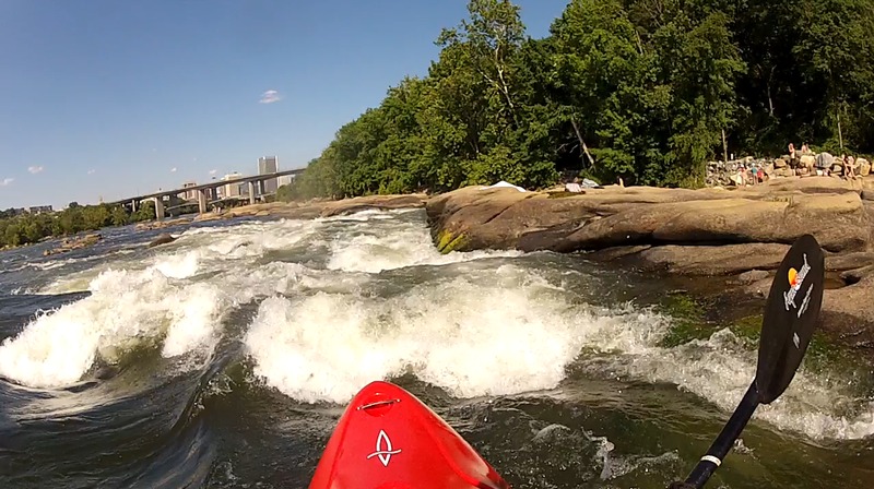
From the put-in paddle out and ferry across the slower current to a narrower channel which opens to the main body of the James. The James is a very broad river and has many different lines that run parallel to each other. Typically during a run, you choose which rapids to run or carry back up and run different lines. The rapid descriptions are not necessarily in the order of which they are run.
The first feature is a low head dam (Hollywood Dam) that makes an L shape from the far left side of the river to Belle Isle. There are four breaks or lines through the dam (from river right to left): First Break, Variation, Grumman and Hollywood Dam Drop.
The rapid ratings listed herein are for levels between 5 and 7 ft on the Westham gauge. The difficulty of these rapids increase with additional flow.
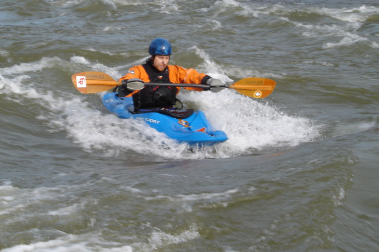
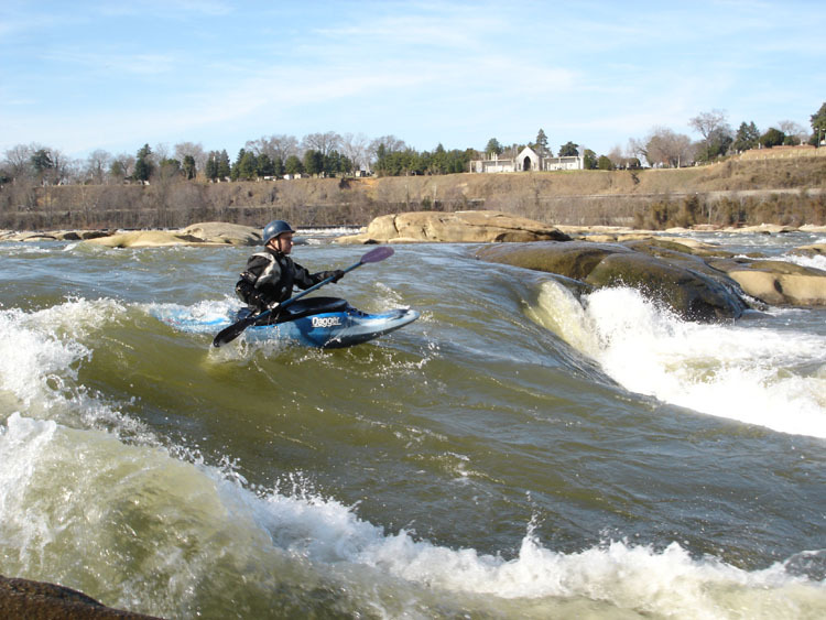
Once you get out to the main body of the James, the most common line is to run First Break. Follow the main current to Belle Isle. First Break is to the river left of Belle Isle and is run right of the remaining dam. There are some of the taller standing waves here and between 5ft and 6.5ft offers endless front surfing and wave wheels. Just below the break is a play spot suitable for looping called Jaws that comes in at levels between 6ft and 7.5ft. Great eddy service with access for both play spots on river left behind the dam.
Variation is located about 400 ft to the river left of First Break. This feature offers some of the best play on the river from 5.5 ft and up. The feature ranges from a spinning hole at levels up to 6.5 ft and turns into a beautiful green surf / play wave at 7.5 ft and above. This spot has great eddy service on river right and is great for blunts around 8 ft.
Located on the middle left side of the Hollywood Dam. Ferry to the far side (river left) of the river after coming out of the Reedy Creek channel. Look for some exposed rocks just in front of the dam and the downriver current. There is a 30 foot wide break in the dam that drops about five feet over the course of the slide. At High water (above 8 feet) the damn creates a keeper hole and Grumans is not a recommended line. Grumman has a good 360 hole and is best between 5.5ft and 8.5ft. Be careful this is a very shallow spot and the rocks are sharp.
Continuing past Grumman and along the dam to the end of flat water. The dam grows to a height of 17ft. The dam can be run at the 10ft wide line just right of the canal intake. Best level is between 4ft and 6ft. This is a lot fun but it takes almost half of the total gradient in just 2 seconds. The drop can be scouted by getting out on a sandbar and walking the dam to the drop area. NOTE: This is a low head dam. At levels above 6ft the uniform hydraulic at the base becomes hazardous and this line should be avoided.
Cemetery Rapid is a river left line that runs parallel with Hollywood Rapid. Cemetery is sometimes run after playing at Grumman instead of ferrying across the river to Hollywood. Cemetery is also used for a high water alternative to Hollywood. To run Cemetery paddle below and parallel to Hollywood Dam. Look for a line left of some taller rocks. Run left to right and follow the current. This is a fun and often overlooked section of the James.
Corner is downstream of First Break as the James makes a right turn around Belle Isle. Corner offers a couple of play opportunities: Corner Pocket is river right just below some big rocks and river left are some front surfing wave and a 360 hole at lower water. Get the bow up when running the last ledge on the left line as it is backed up by a submerged, parallel ledge.
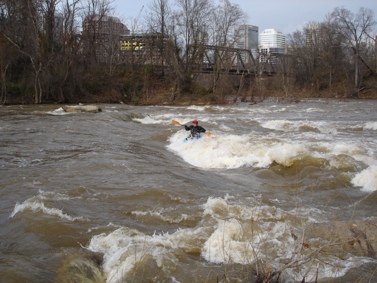
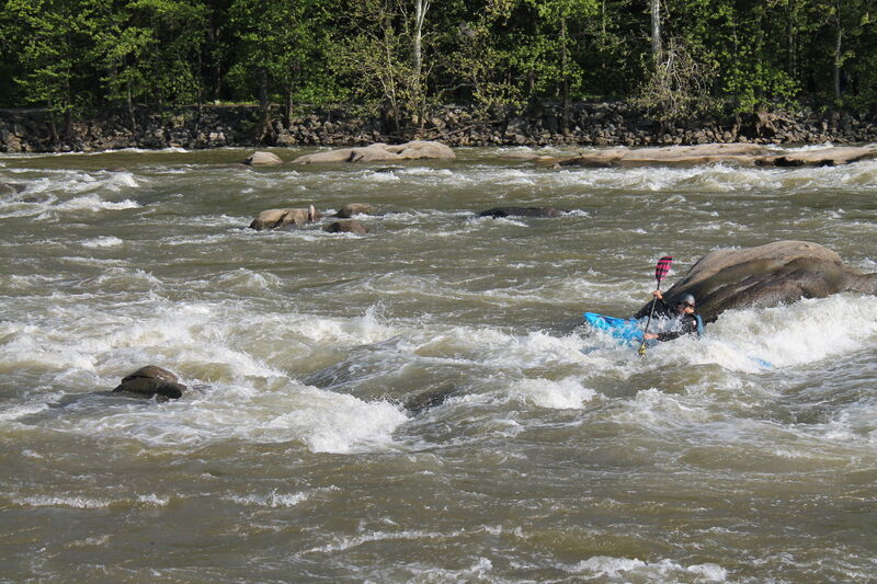
After Corner Rapid is Hollywood. Named for Hollywood Cemetery which overlooks this area from the north. This rapid is the best known rapid and is often debated for classification. At higher water there are large keeper holes, lower levels increase the chance of hitting rocks if upside-down.
To scout Hollywood get out at the Grateful Dead Rock on the right about 100ft below the bottom ledge of Corner rapid. This is the best place to scout, with easy access to the pathway on Belle Isle.
There are three parts of Hollywood, Entrance, Hollywood drop, and the runout.
To run Hollywood’s entrance, ferry out to the main current and look for the line between two holes named Flipper and another named Stripper. On the right there is a good 360 hole that is best at 5.6, be careful, if you flip the feature is very rocky and you do not want to swim over Hollywood drop.
After entrance Paddle back to the right. Follow current and look for a tall standing wave and go straight for the peak. Use a left angle and continue paddling left to avoid Washing Machine, a meaty hole in front of the large rock on the bottom right of the initial drop. Continue working left in the runout. Depending on the level, there may be a large standing wave after the first drop or smaller ledges broken with small pour-overs. The runout is fast-moving water, but there is a recovery eddy on the left to set up for your options below.
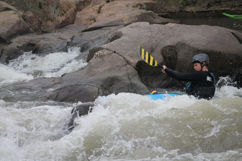
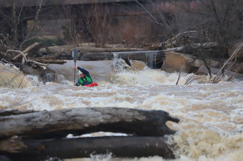
At high water (above 7) The moves between striper flipper and Hollywood become very big and pushy. Swims at these levels are very long and dangerous. At these levels, boaters must have a bombproof roll as well as experience on big water.
Below Hollywood
The runoff below Hollywood is class II+ boogie water at normal levels. Above 7ft there is a nice boof rock on the right/center side, called Launch Rock / 747 / Bradshaw's Rock. Again, get the bow up because the pour-over boof rock is backed up by a submerged rock. At levels below 5ft, a river wide pipe becomes visible and presents a hazard just before the flat water and is best run toward river right over the concrete pipe supports. At higher water, many holes develop in this area.
Target Rock is a fun line that is an alternative to 'Hollywood'. Target rock is in at most levels. After 'corner', start working left. You will run a drop and when you see Target Rock start working left. at higher flows (above 7), you can boof target. It is possible to flip or pin on Target Rock, so be cautious.
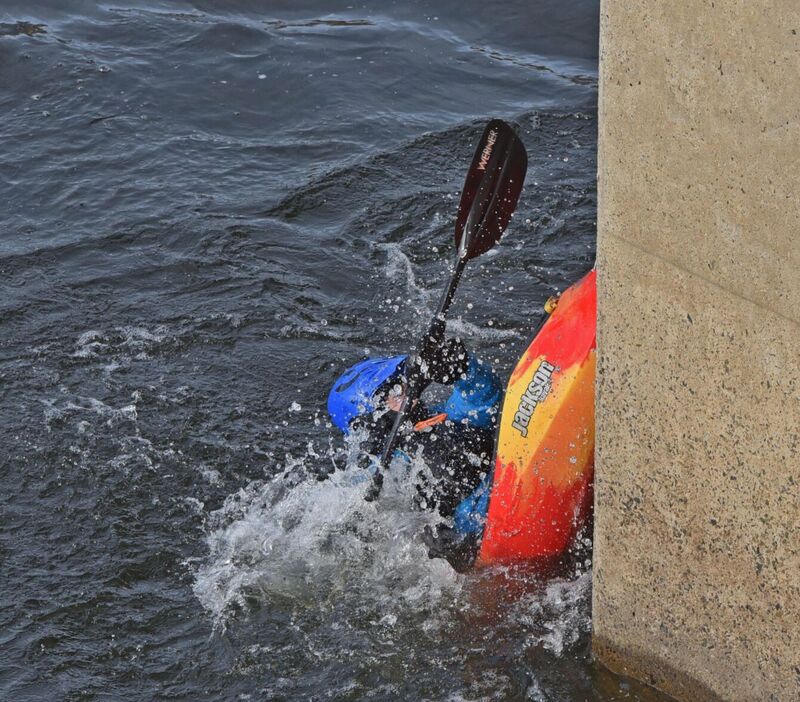
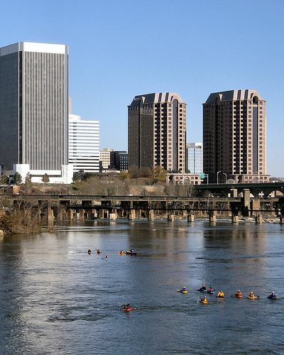
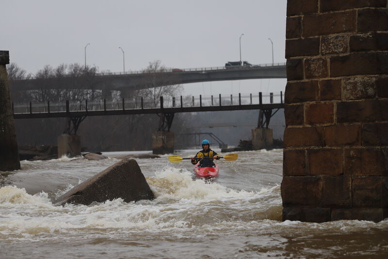
After Hollywood rapid, there is a bit of flatwater and the river floats under the Lee Bridge. The Lee Bridge (Hwy 1/301) is the main walkway for pedestrians/kayak fans to cross the James to Belle Isle. We like to use the first pylon to splat and there is a nice eddy line for squirts off an old, stone railroad bridge support.
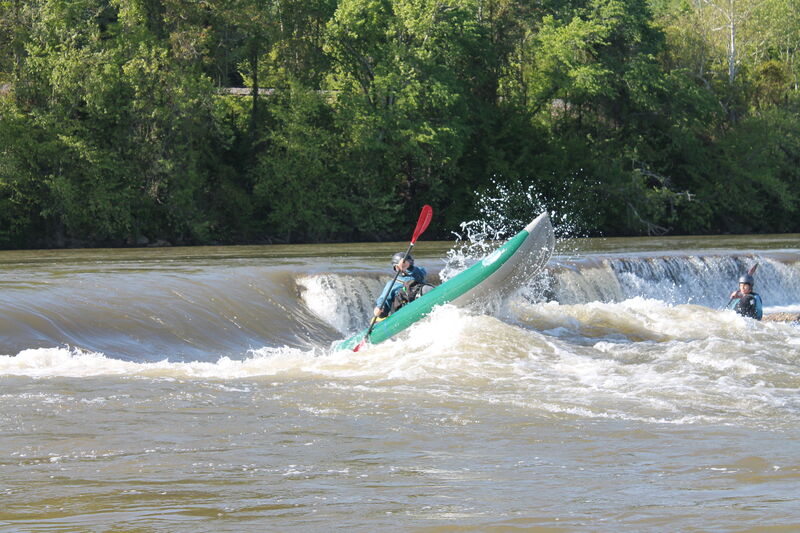
After the Lee Bridge, there are three options to run the Vepco Levee (potential lethal hydraulic). The most popular is the Fish Ladder on river left just under Ashland City Limits sign. The second option is called pincushion which is 6 slots to the left of the fish ladder and lastly, you can run the X's and is river right of center.
This is an alternative put-in or take-out. Often used during high water if only running cemetery or at low water when rafters only do Fish Ladder and Pipeline. There is a long flatwater section here that is great for flatwater training.
Run under the Ashland City Limits sign and watch out for rebar around the pylons. There is a low head dam feature from far river left to center left, but should not be a problem if you go straight downstream from the sign. At levels below 5ft, there is a slot in the dam on the left that offers a little water boof practice. Ferry toward river left after passing under the sign and look for a dry, round rock about 15ft in front of the horizon line noting the slight droop in the horizon directly downstream. Pass the left side of rock and get the bow up heading to the right to avoid some rocks below the landing zone.
Lower half, after running Fish Ladder or Second Break, there are more than six different lines that can be run. Unfortunately the lines all use the same gradient and you only get to run one line unless you carry the boat back to the top and ferry to the next line. The rapid descriptions that follow start from river right and then go to river right.
Pin Cushion is an alternative line to 'Fish Ladder' or 'x's'. Its entrance is 6 slots to the right of the blue sign. 'Pincushion' is a small tongue into a pillowed rock. The Pin Cushion line is to bonce of the pillow going to the right of the rock, however, you can also run an easier line by going straight and to the left of the rock. Pin Cushion is in at most normal flow. Watch for wood especially after floods. After Pin Cushion, You can either go hard left and run the last part of 'Fish Ladder' or you can run '8 Ball or 'Second Break'
The X's is an alternative route over the Vepco Levee used commonly when headed to Second Break to run right side rapids such as Triple Drop, Deception or Southside. The X's got its name because of X's marked on two Vepco Levee pylons. In 2003 the X's were painted over with skull and cross bones. The X's is a rock ledge that interupts the hazardous uniform hydraulic created by the Vepco Levee. Enter right of center between the two skull and cross bones and make an S-turn through offset holes. Approximately 100 yds downstream of the X's, another low head dam exists and it runs diagonally from river left to several hundred yards downstream on river right (below the bridge). Work right to left from the bottom of the X's toward the second or third opening between Manchester bridge supports to get to Second Break which is a break in this dam.
'8 Ball' is an alternative line to 'Second Break' it sets you up well to run other middle lines such as 'Triple Drop' or 'LuLu'. Watch for wood. 8 Ball is runnable above 6.5 feet. To run '8 Ball'go downstream and to the left of 'X'S' River right of the old bridge pillar closest to the dam. Make sure you are left of the pyramid toppled over bridge pylon. Boof the slab! After the drop watch out for the second hole on the left, although small this hole can be very sticky.
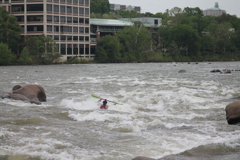
Second Break is the southside (river right) opening in the low head dam that runs diagonally downstream from river left at Fishladder to river right above Southside rapids. If you run the X's, this will be your safe exit from the low head dam just downstream. After passing through the 2nd opening between the Manchester bridge supports from river right, continue straight downstream. Look for a wavetrain below the horizon line of the dam. This is Second Break. Enter center left with slight left angle in order to catch an eddy on the left just upstream of the tree that the runout is heading directly towards.
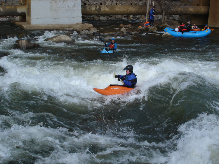
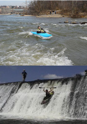
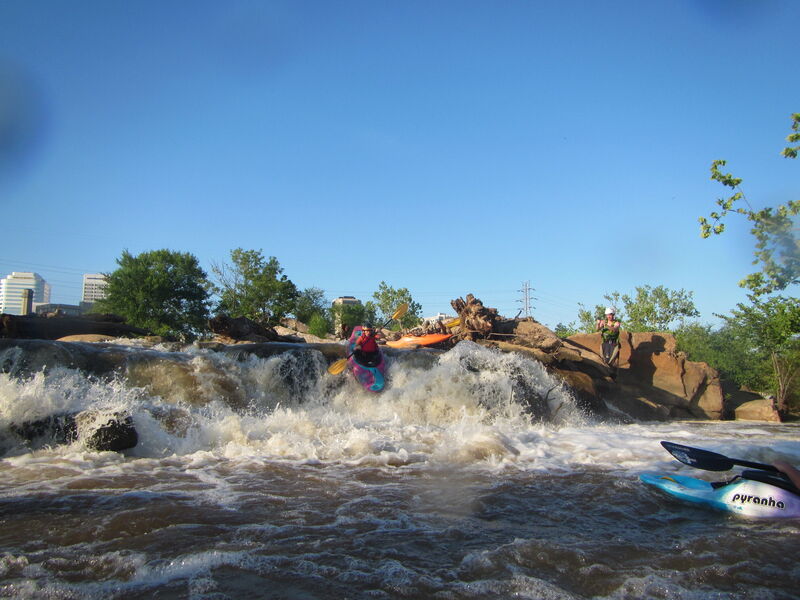
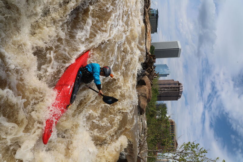
Pipeline is the farthest left and most popular line on this section of gradient. This rapid is named for a pipe that runs under the railroad bridge on river left. The rapid is about 200 yds long and constricts as it approaches the largest ledge. There are many eddies to catch as you pick your way down. Enter the rapid near river left and over a 1ft broken ledge. At levels above 5ft, there are two main lines for the 3-4ft ledge about 40yds downstream. An S-turn move via a channel to center right and ledge boof via a channel to center left. At higher levels, many will opt for the center left line straight over the ledge which usually forms a large standing wave. About 100 yards down, look for some large rocks on the river right side, this is the largest drop of the rapid. Run center to right and follow the main current to punch the waves/holes. At 9 ft and above, a keeper hole develops on the left just above the main ledge and the water pushes significantly toward and under the pipe on the left (IV+ at these levels). This drop is also a good play spot, particularly at levels below 6ft (see picture).

Powerline (aka Rattlesnake) rapid runs directly under the high voltage power line easily visible below Fishladder and the Manchester bridge. The lead in rapid begins just to the right of the powerline pylon. This is followed by a wide sticky pour over hole, followed by a trashy ledge you can get left of if you work. Further down there is a double ledge to navigate.
Powerline (aka conception) runs parallel with Pipeline and starts just river right of a power line tower. This rapid opens for the business above 5.5 ft. Above 7.5 the bottom of this drop is sticky and can turn into a terminal hydraulic. The entry into this rapid consists of some eddies on the right and left with some small play spots. The water will turn to the right and then open to about 30 yards of flat water and a horizon line. Scouting is available on the island on the right. This is the five-foot drop in the picture and is the entire point of running this line. There are two lines, one to the far right it's mostly just a slide and the other is a more vertical drop. For the second drop look for a curler wave right of center and run about 4 feet right of the wave. I like the second more vertical drop because the water is very aerated and it's possible to go really deep. After the drop pick your way down to the right or left. Running this rapid takes you to the north side Mayo take out.
Secret boof is a middle line that gives you access to 'Jesus's Stomach', 'The Wall' and 'Deception' watch for wood and boof with a right angle. Enter secret boof all the way on the left of the same channel as 'LuLu'
Fun slide after 'Secret Boof'. There is a minimum level of 6.5 to run but as the level increases, this drop gets better. Wood is very common so scouting is advised. Make sure to make it left of the island if you are parked at 14th street And right if you are at Southside take out.
If you drive right after 'Secret Boof' you will reach 'Deception' a drop in which there is a slide on the right and a boof on the left. there are several eddies to boat scout however the drop is mostly blind. Optimal flows above 7 feet.
'Slick as a Whistle's' entrance is approximately 30 feet to the left of 'LuLu' runs best above 8 ft. Scouting advised.
Lulu is a five foot drop with a powerful hole to the left and a relatively easy boof center. Lulu opens for business between at levels between 7.5 - 10 ft. After the drop make a right move and look for an eddy. If you continue straight watch out for some holes and pretty shallow water, try not to flip over.
Update on Wood in LuLu (4/21/2020) Wood is still on the right but the main drop is runnable. Scouting is available from the log pile.
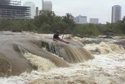
Triple Drop is a parallel rapid with Pipeline and sets between Lulu and Southside rapids. Most people take Second Break route when Triple Drop is the destination. After Second Break ferry left and look for a tree lined entranced about 20ft wide. The first drops is not really a drop but a eddy on river left by some large rocks, at times there is a surfing wave by this eddy. From the river left eddy ferry to river right bank or down river behind a Volkswagen type rock. This is the setup for the second drop and is featured in this picture to the right of the text. The typical line is the slot move just right of the exposed rock in the picture. The picture is of Scott Wagner running the boof line off the rock. After second drop find the right eddy to setup for the third drop. This drop is smaller then the second but has a under water rock that can stop boats cold. Work river left and follow the current. There is a trail on the island on river right were you can walk up and ferry over to 'Pipeline' or other middle lines such as 'LuLu'
Mooseknuckle is an auto-boof at high water (~9'+) that allows one to do Pipeline through second drop, without having to go through the pushiness of third drop. Coordinates: 37.532579, -77.437527
Directions to Southside (river right) Takeout:
From I-95, take Maury St. exit 73. Turn right onto Maury St. Take the 2nd left onto East 2nd St. Turn right onto Hull St (14th St) at light, go 50ft and turn left into parking lot. Walk north on sidewalk until just inside floodwall to see paved access path down to river where you will takeout amidst the rip-rap rocks.
GPS Coordinates to parking lot: 37.526449, -77.435898

There are two primary takeouts depending on which rapids you took in the bottom half. From Pipeline, Powerline, Powerdunk or Lulu, the takeout is the 14th St. Takeout. From Deception, Triple Drop or Southside, the takeout will most likely be Southside (river right), though it is possible at lower levels to paddle around Mayo island and upstream to the 14th St. takeout on river left.
Directions to 14th St (Northside / river left) Takeout:
From I-95, take Maury St. exit 73. Turn right onto Maury St. Take the 2nd left onto East 2nd St. Turn right onto Hull St (14th St). Cross Mayo bridge. Look for a small brown 'Whitewater Takeout' sign on the right in front of the concrete flood wall. Turn right onto the narrow road running parallel and on the river side of the flood wall. Park in the gravel lot at the end of the paved access road or in the grass along access road by the floodwall.
GPS Coordinates to parking lot: 37.531365, -77.431793
Looking upstream at the 2nd and 3rd drops of the Triple Drop channel. View from Mayo Island