Klickitat
1 - Yakama Reservation to Leidl Campground
Apr 20, 2026
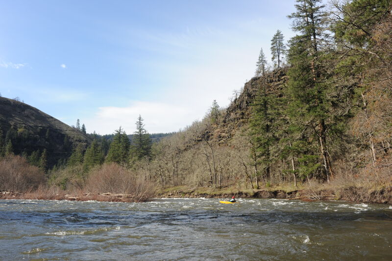
We did an overnight trip from Parrots Crossing down to Leidl. The pace was fast with continuous rapids and we discovered we traveled 3.5 miles in the first half hour. The run was relatively clean but there were a few log jams along the sides. The hatchery weir was no problem to run down the left although it was a bit shallow immediately downstream of the weir on the river left side. We carried over to the island downstream of the weir and put in on the right channel.
Mar 16, 2026
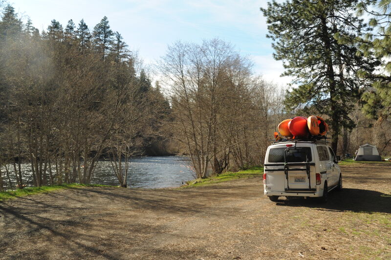
We paddled from Summit Creek Bridge down to Icehouse. The segment from Summit Creek to Leidl took about 40 minutes.
Apr 1, 2024
Aug 17, 2017
No wood requiring special attention in the main channels from Parrott Crossing to the Hatchery as of August 13, 2017. Just a couple spots where wood protruded from the banks, easily avoided. 1200 cfs.
Aug 17, 2017
All smiles on the way to a put in at Parrott Crossing.
Jun 13, 2017
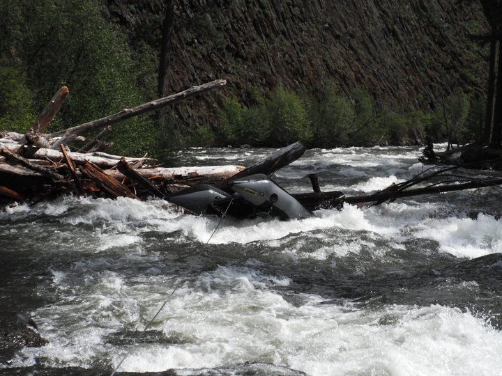
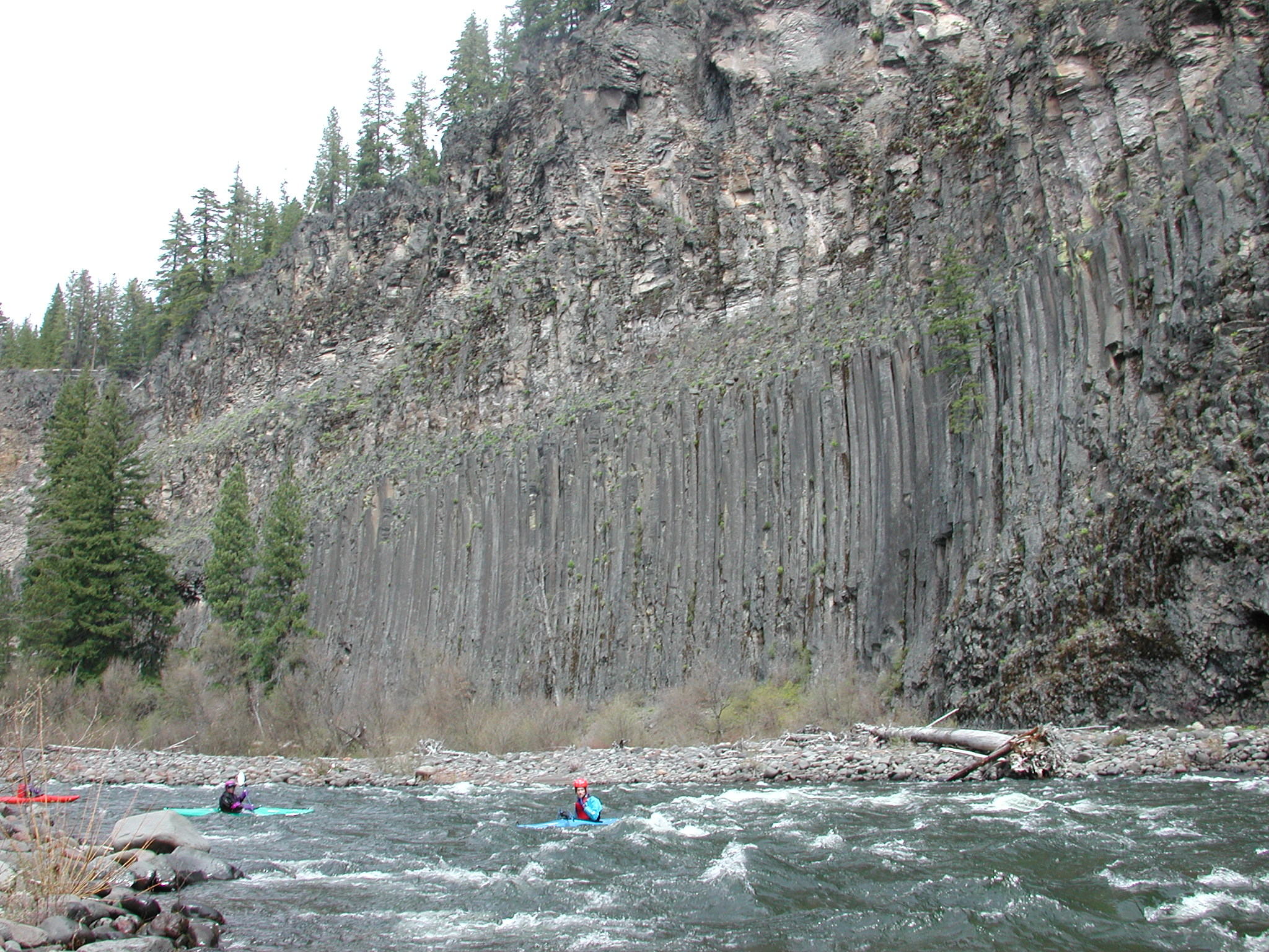
No more log jam! We ran the from Parrot Crossing to the Hatchery today, and when we approached the basalt cliffs section, there was no more jam to be found. We were very confused because all the beta we had received prior to making the run told us that the log jam was present. After cross checking with google maps, we can confirm that the jam is no longer present and the run is clear. However, beware of logs downstream. Some must have been blasted free in high water and have been lodged along some cliff walls further downstream.
Clear run, fun run. All the good things.
May 31, 2011
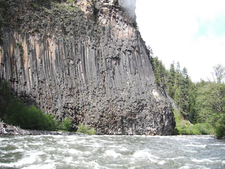
To add to Cope's warning, its at the second basault cliff you'll see. We also tried to leave a warning at the put in, but its unprotected on regular paper so wont last weather well. Here is a link to Google Earth where the river splits to two channels, the right channel which has the log jam. The water level was significantly higher than what you'll see in the URL, so dont expect the channels to be so distinct with such a large island between the two:
May 30, 2011
STAY LEFT
May 30, 2011
I am sorry I dont know what this area is called. Stay left Very dangerous
May 13, 2006
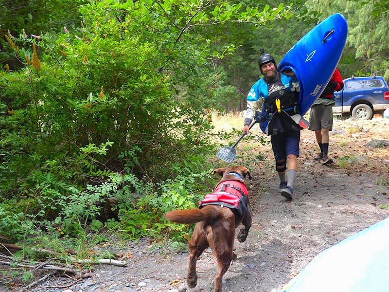
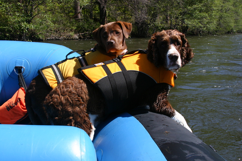
OK, its mostly a dog picture, but that is the
Klickitat.
Aug 10, 2005
Gets really low in the summers, but is deffinitly worth the 'slow' ride because of the wildlife and canyons surrounding the river. In early spring though this part of the river is definitly a whitewater adventure.
Apr 20, 2003
Run down the Upper Klickitat
Apr 20, 2003
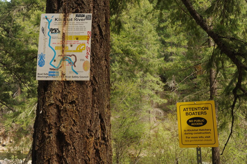
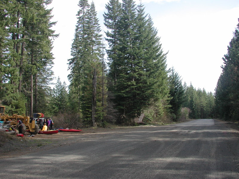
This unmarked pull-out at the Yakama Reservation boundary can handle about
half a dozen cars. From here it's a steep scramble down to the river.