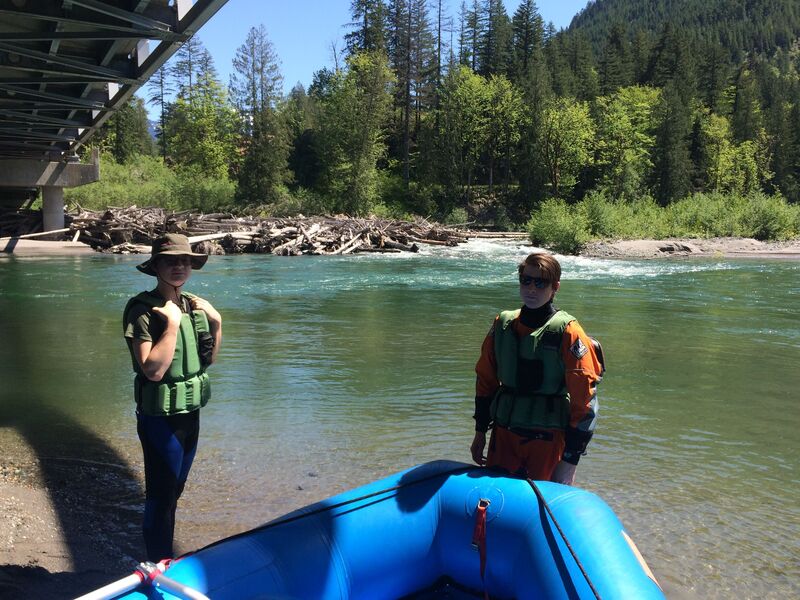
Sauk
3 - Darrington to Skagit River
| Difficulty | II |
| Length | 20 mi |
| Avg Gradient | 13 fpm |
| Gauge | Sauk River Near Sauk, Wa |
| Flow Rate as of 49 minutes | 2230 cfsbelow recommended |
| Reach Info Last Updated | August 12, 2024 |
Beginning high in the North Cascades, the Skagit Wild and Scenic River winds down steep slopes, through forested hillsides and wide open valleys, eventually reaching Puget Sound. The rivers of this system – the Skagit, Sauk, Suiattle, and Cascade – flow through rugged wilderness, forestlands, rural communities, farmlands, and [...]Read More
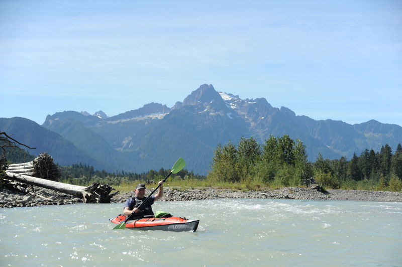
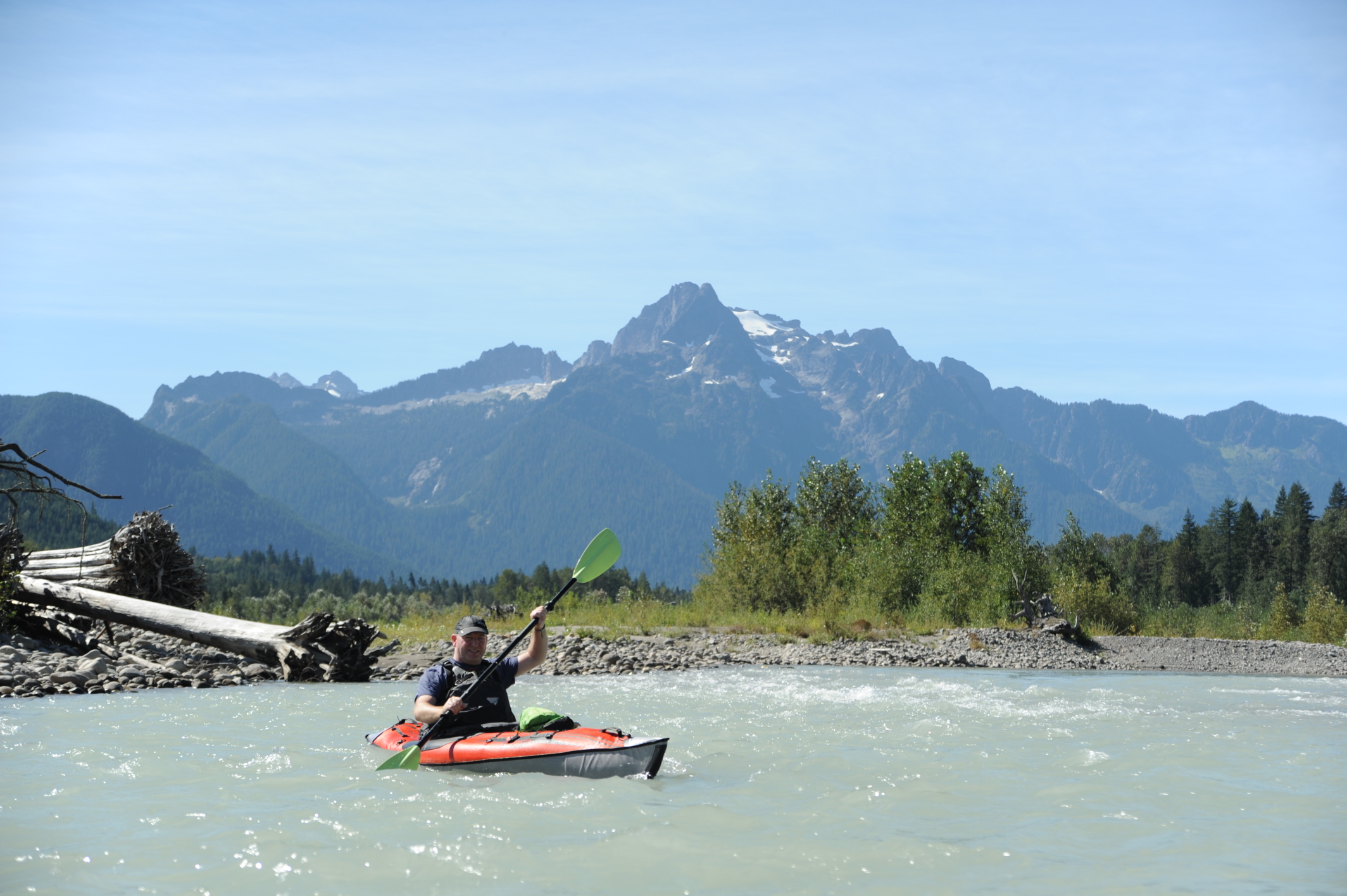
This is a great scenic trip and on a clear day you will be treated to great views of Whitehorse Mountain and some glimpses of Mt. Baker. Log jams can be a significant hazard for beginning boaters particularly in the first part of the run so approach with caution.
The run is generally class I and II through a braided channels with rapids that are formed by numerous gravel bars.
The standard run is from Darrington down to Government Bridge but a good intermediate access point is available at the Highway 530 bridge across the river at the Lower Sauk Boat Launch. For a longer run, you can continue on down to the Skagit River at take out at Faber Ferry (either river left or river right).
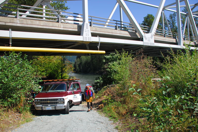
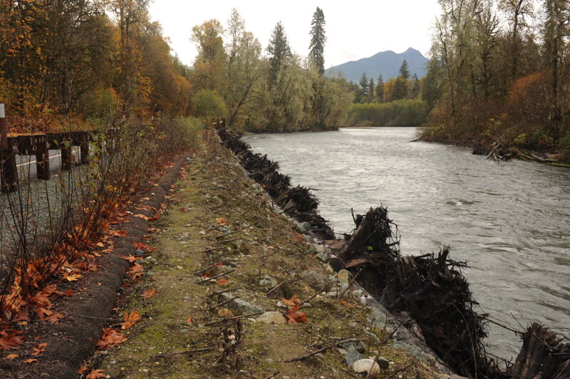
American Whitewater advocated for the improvement and formalization of this access with the reconstruction of the bridge. The launch access road extends under the bridge and is reached from the upstream river left side.
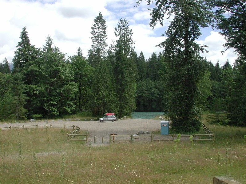
An alternate access point downstream river left of the Highway 530 Bridge that has been developed as a formal Forest Service river access.
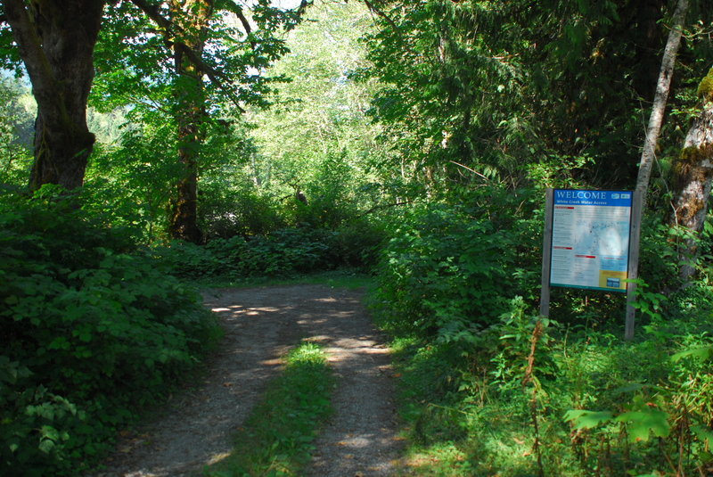
An alternate take-out access at the White Creek confluence at Highway 530 mile 60.7 just upstream of Government Bridge on the Concrete-Sauk Valley Road Bridge.
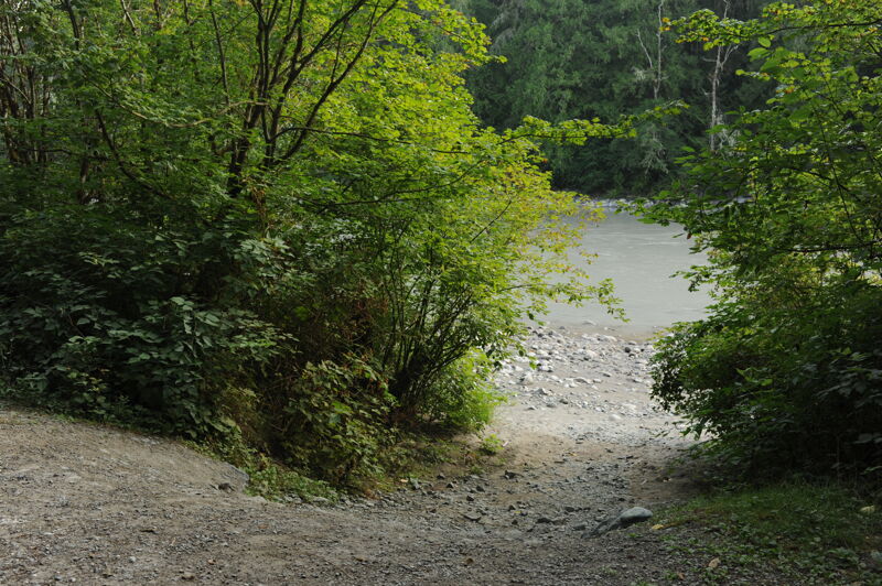
Informal access site on river left just upstream from the bridge. A Highway 530 mile 61.3 turn on to Concrete - Sauk Valley Road. Cross the bridge and take the immediate left headed upstream on river left. It is 0.3 mile upstream to a good access point on Forest Service land. Parking is limited and there are no facilities. It is a short carry to the water.
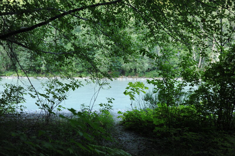
Sauk Campground administerd by Skagit County Parks. At Highway 530 mile 61.3 turn on to Concrete - Sauk Valley Road. Cross the bridge and continue downstream on river left 0.4 mile to the campground. A steep trail from the campground leads down to the water but it is only practical for light hand-carry craft. It's not the best access for boats but is an option if you are looking to camp in the area.
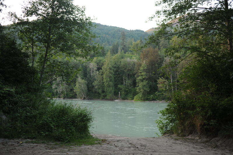
For those running down to the confluence with the Skagit River, Faber Ferry is the is the first access point 5 miles downstream of the confluence where the Sauk River joins the Skagit River. You can take out river left or river right. This access is the river left option. At mile 6.9 on Concrete - Sauk Valley Road trun onto Skagit Ridge Road and follow it 0.1 mile through the neighborhood to a drive that heads down to the river. The site has limited parking and no bathroom but a concrete ramp. The site is administered by Skagit County.
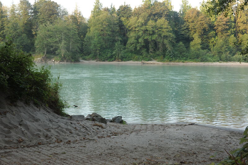
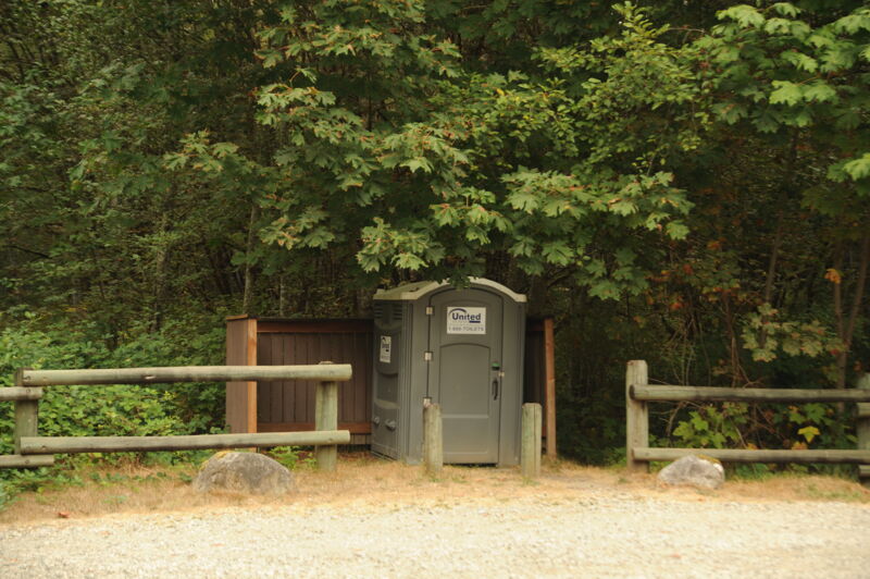
For those running down to the confluence with the Skagit River, Faber Ferry is the is the first access point downstream of the confluence. You can take out river left or river right. This access is the river right option. At Highway 20 mile 93.4 turn at the sign marked 'Fishing Access' for Faber Road. The site is signed for no overnight parking or camping and is administered by Washington Department of Fish and Wildlife. It has a toilet and concrete ramp.
Aug 27, 2025
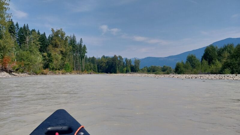
We ran a tandem canoe in late August from Sauk Prairie Bridge put in to Lower Sauk Access take out. Flows were 'below recommended' according to AW, but I saw '1,000-4,000 cfs: Below recommended but still a very enjoyable run' on mountaineers.org so we tried it. It was doable for sure. Only a few bottom scrapes over some gravel bar drops despite picking the more flow line. Couple of wave trains were II-, but class II for route picking and maneuvering. We took riffles slowly as you could not really see rocks unless totally emergent. Main channel always wasn't evident, but you wanted the channel with the more flow so back ferries were used. Beautiful day out! Did a bike shulttle on highway 530 and had a decent enough shoulder.
Aug 12, 2024