Sauk
3 - Darrington to Skagit River
Aug 27, 2025
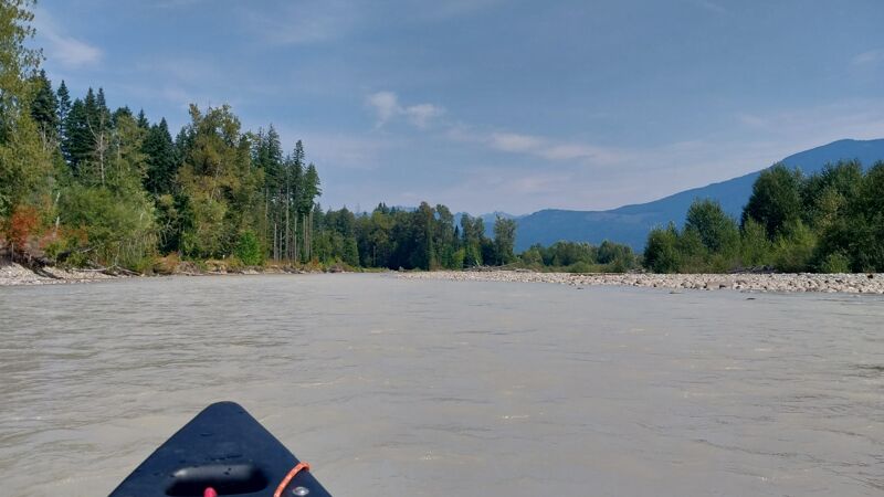
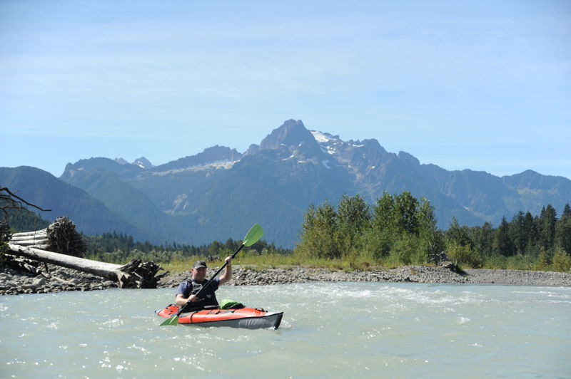
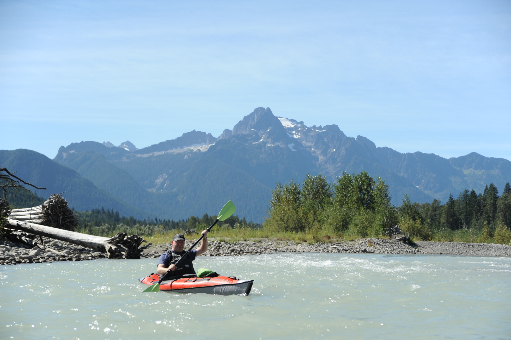
We ran a tandem canoe in late August from Sauk Prairie Bridge put in to Lower Sauk Access take out. Flows were 'below recommended' according to AW, but I saw '1,000-4,000 cfs: Below recommended but still a very enjoyable run' on mountaineers.org so we tried it. It was doable for sure. Only a few bottom scrapes over some gravel bar drops despite picking the more flow line. Couple of wave trains were II-, but class II for route picking and maneuvering. We took riffles slowly as you could not really see rocks unless totally emergent. Main channel always wasn't evident, but you wanted the channel with the more flow so back ferries were used. Beautiful day out! Did a bike shulttle on highway 530 and had a decent enough shoulder.
Aug 12, 2024
Sep 12, 2022
Jun 26, 2022
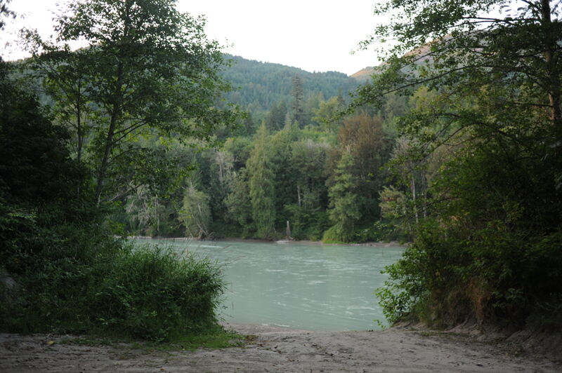
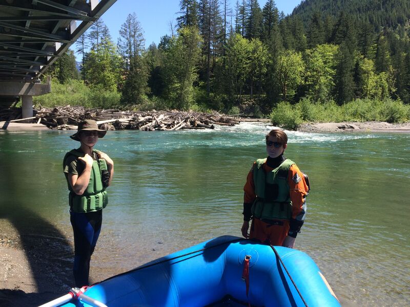
Ran the Sauk River from Darrington (Sauk Prairie Bridge) to Faber Ferry North Boat Launch (3 miles below Skagit River confluence) which is about 23 miles. Flows were somewhere between 8000 cfs and 9000 cfs I think. On-river time was 6 hours (inclusive of a quick lunch break).
**Beware!**
-STRAINER: Between mile 1.5 and 2.0, there is a large, multi-pronged tree trunk that completely blocks the main channel, coming in from river left. This is a dangerous strainer - please be on the lookout for it - it is hard to see initially. Scooting/portage possible in shallow water on river right. This would turn into a full, 50-yard portage below 7000 cfs.
-Side channels sometimes choked with log jams. Stick to main channels.
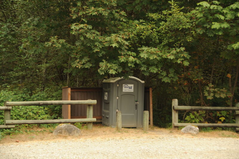
-TAKEOUT: I could not find any physical location of the John G Young takeout mentioned in this beta. Unless you're a local with secret knowledge, don't count on using that takout. Instead you'll need to float about 4 miles downstream of the Skagit confluence to Faber Ferry takeout on river right. Faber Ferry takeout is not super obvious from river, and Faber Road is not labelled from SR20, except for a 'Public Fishing' sign. Tracking location on your phone will help. Discover Pass required.
Other than the one sketchy strainer, the main channels were navigable and we had a great day taking in the excellent scenic views and a leisurely float.
Kudos to river-angel.. Vince? for flagging us down after identifying the strainer. Hope you had a good day on your SUP.
Oct 24, 2021
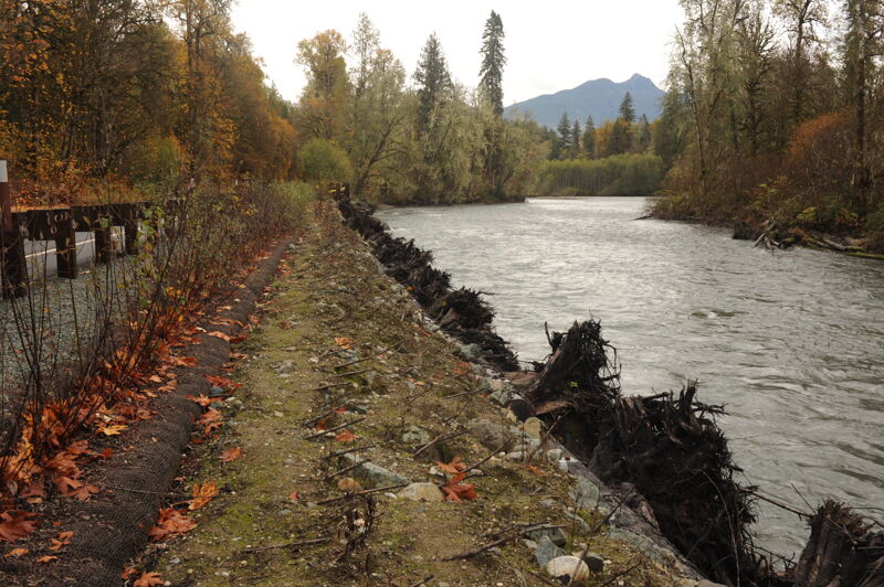
Engineered highway stabilization project along on the Sauk River.
Sep 7, 2020
Trip down the Sauk River from the Darrington Mill down to the Sauk River access at the bridge.
Jul 22, 2020
We took SUPs on 7/4/2020 @ 4530cfs from Government Bridge to Faber South (on the Skagit, Discover Pass req'd). Take-out parking lot was small and hard to find, there's a good map of the take-outs at Sauk County Park - boat ramp. Class I+, small rapid immediately after Govt Bridge put-in. Braided channels on the Sauk had open options, but some channels were woody. Eddylines and boils were interesting on the Skagit. River time was 2.5 hours with a 1 hour bike shuttle with little traffic on Concrete-Sauk Valley Rd.
May 8, 2020
Wood/logjam river right on upstream side of Sauk Prairie Road Bridge. The remainder of the run was clear in primary channels. We only went to the Sauk River Park Bridge.
May 30, 2018
The flow at the put in will be approximately one half of the flow reported by the Sauk at Sauk, Washington gage.
Jul 25, 2014
Jul 20, 2008
Jan 23, 2004
This newly constructed access on the Sauk Wild and Scenic River serves the lower section of the Sauk and is also a take-out option for the lower Suiattle.
Jun 1, 1960
Sauk River photos from 1960s used to illustrate potential for conservation of the river. Courtesty of Wolf Bauer.