Snoqualmie, Middle Fork
2 - Burnboot Creek to Taylor River
| Difficulty | II-III(IV) |
| Length | 11 mi |
| Avg Gradient | 60 fpm |
| Gauge | Middle Fork Snoqualmie River Near Tanner, Wa |
| Flow Rate as of 1 hour | 199 cfsbelow recommended |
| Reach Info Last Updated | May 4, 2025 |
This section of the Middle Fork does not appear in any of the guidebooks and it's a bit of a mixed bag with long braided sections but there are some fun class IV rapids if you're willing to make the effort to check them out. It also offers some great opportunities for packrafters. This section can be divided into 3 smaller section and starts downstream of the Upper Upper Middle.
Goldmyer to Wildcat Creek, 3.5 miles, 70 feet/mile
After leaving the steep drops of the Upper Upper behind, the river settles down onto the valley floor. This section does not contain any legitimate whitewater; it starts with a short class III section and turns into flat portage hell. The river consists of flat braided sections with difficult portages and you will spend more time walking than boating. The longest distance between must portages is 100 yards, and you'll find it easier to just hike to the road and walk.
Wildcat Creek to Dingford Creek, 1.1 miles, 120 feet/mile
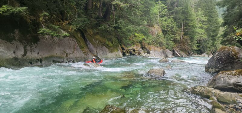
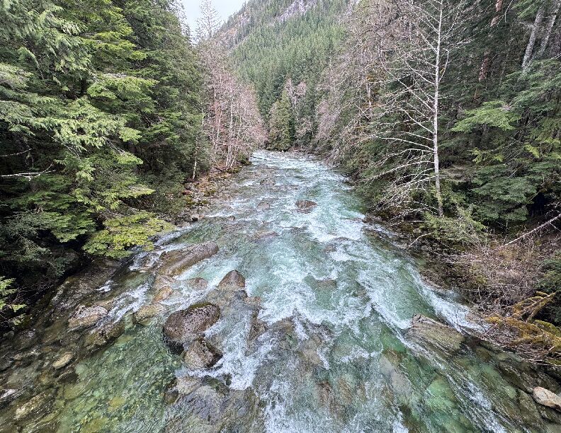
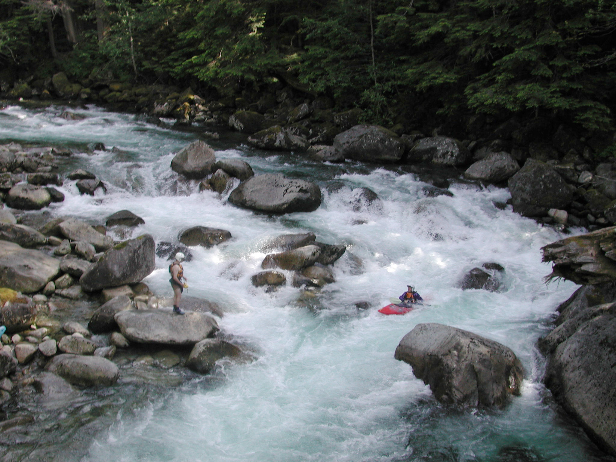
This is a short section of only about a mile in length, but there is some great continuous class IV+ whitewater. Most of the action consists of tight technical boulder gardens with short class III recovery stretches in between. Much of the river is read and run although there are a few spots that require you to get out and make a log check and at least one ledge early on that looks like a little nasty (especially at lower flow) and is a potential portage. To get an idea of what to expect on this section walk down to the river from the Dingford Creek trailhead (about 5 minutes) and take a look at the rapid upstream of the bridge. This rapid is characteristic of the drops in this section. If it looks fun and at a good level then the rest of the run will provide more of the same. You can get down this section and have a good time at flows as low as 800 cfs on the Middle Fork Snoqualmie gauge.
...Access on river right at Burntboot Creek at Goldmyer Hot Springs. This access requires hiking approximately 5 miles up the old road on river right from the Dingford Creek Trailhead where the road is gated.
Access on river right at Wildcat Creek. This access requires hiking approximately 1 mile up the old road on river right from the Dingford Creek Trailhead where the road is gated. This is the access point that marks the start of a 1 mile class IV section.
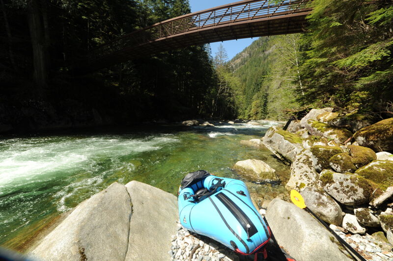
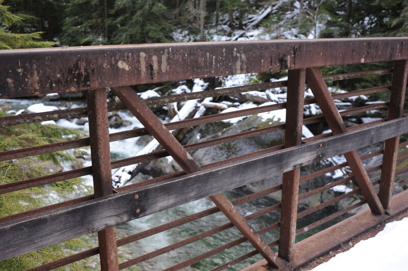
Access at the Dingford Creek Trailhead on river right. This access is at mile 18.0 on the Middle Fork Road where the road is gated. It requires a high-clearance vehicle to drive up to this access. To continue upstream beyond this point you will need to hike. From the trailhead, it's a short walk on a trail down to the river where a trail bridge crosses the river. You can also reach this access by hiking up the trail on river left from the Middle Fork Trailhead at the Taylor River confluence (a great option for packrafts). The banks are steep and it is a bit of a scramble up to the trail from river level. This bridge is the dividing point between class IV (upstream) and class III (downstream) whitewater.
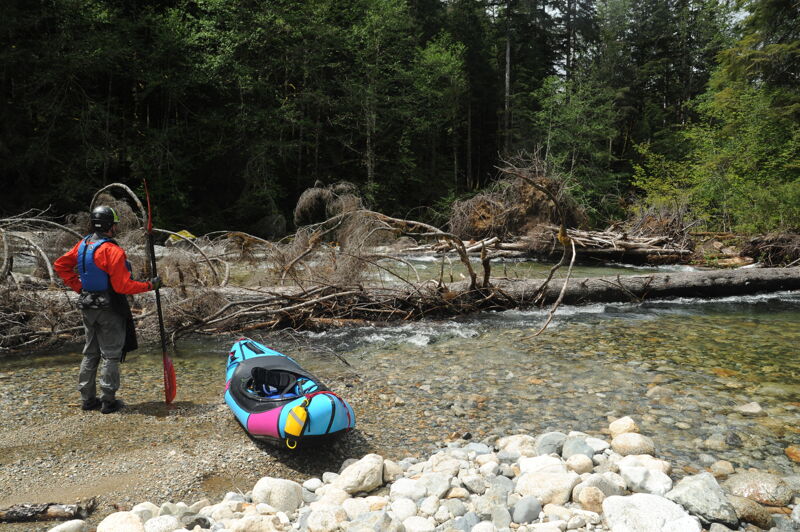
For about 1/3 of a mile the river passes through a braided reach with a few channels and islands. You can expect wood hazards in this section so proceed with caution and in most years you will likely need to portage around. After this point the river transitions from class III to class II.
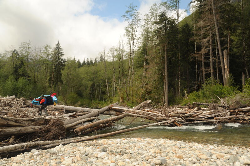
A large log jam splits the flow around a large island. The primary channel has been known to shift from year to year.
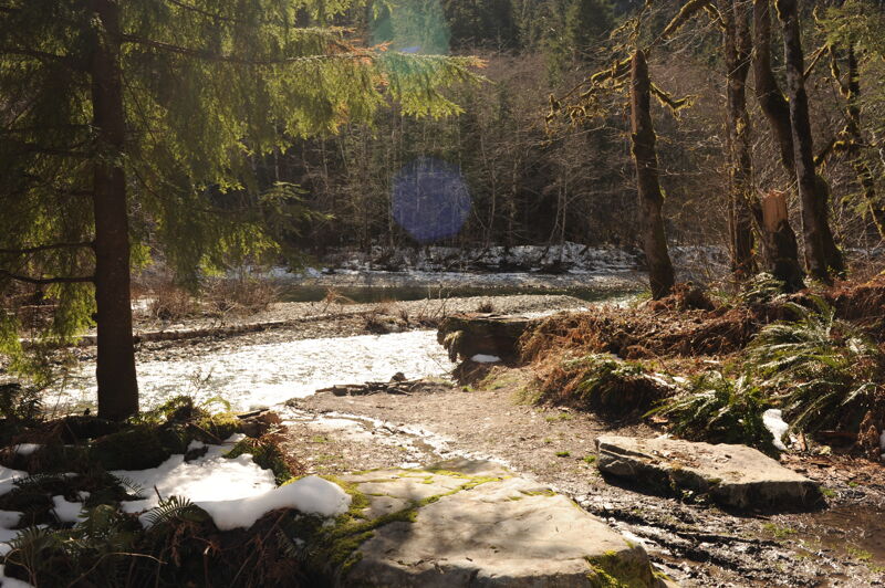
This access on river right is one of the few places along this reach where the road is in close proximity to the river at mile 13.9 on the Middle Fork Road. This is the farthest point upstream where it is relatively easy to launch a raft.
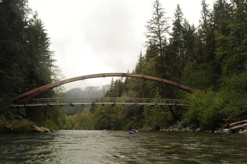
The Middle Fork Trailhead, immediately downstream of the Taylor River confluence, can be used as an access point for this reach. A social trail leads down to the water on the downstream side of this trail bridge on both river right and river left.
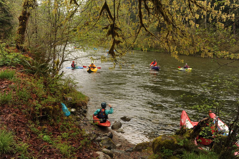
Access on river right at Bridgeview just downstream of the Middle Fork Trailhead and the Gateway Bridge. The access is a small pull out located at mile 11.8 on the Middle Fork Road. This is a good low bank access and it is relatively easy to get rafts in or out here.
May 31, 2026
I had an opportunity to introduce writer and photographer Tim Palmer to packrafting on the Middle Fork Snoqualmie as part of a research trip for a new book he is working on. We met at the Middle Fork Trailhead after breakfast on a Sunday morning. We hiked the trail on river left to a point just downstream of Cripple Creek and paddled back to the trailhead. The hike took a couple of hours, and we were on the river by noon after a quick lunch and inflating our boats. We spent a couple of hours on the water.
We found a couple of pieces of wood in play, including an undercut bank with roots protruding into the main flow and a tree spanning the channel that still had a line through the branches. The good news is that the major logjam that previously spanned the river last year is now gone, likely as a result of the December 2025 flood event.
The flow was approximately 570 cfs at the Tanner gage and slowly declining. While this seemed much too low for the Middle-Middle segment of the river, it was adequate for this section, which held its water better than I expected. At this flow, the run from Cripple Creek down to the Taylor River confluence is a great Class II paddle, and we had a beautiful day to enjoy it. This is one of the best packrafting trips in close proximity to Seattle and is the perfect destination to test out all your systems for more ambitious packrafting adventures.
May 12, 2025
Ran Wildcat Canyon down to Dingford bridge, fast class 4+, be on your toes for wood. Lost Key is a beauty, next drop had tree problems and a very manky start. Right is the easier portage at the top, then launch from middle rockpile and head left or charge the center mank.