Snoqualmie, S. Fork
2. Twin Falls State Park to 424th Ave SE cul-de-sac

| Difficulty | II+ |
| Length | 4.5 mi |
| Avg Gradient | 31 fpm |
| Gauge | Sf Snoqualmie River Ab Alice Creek Near Garcia, Wa |
| Flow Rate as of 35 minutes | 43 cfsbelow recommended |
| Reach Info Last Updated | December 23, 2025 |
FUN FACT: Convenient beginner whitewater to Seattle.
SEASON: Fall rains and spring snow melt, but can run into mid-summer.
ACCESS: To get to the put-in for this run, take exit 34 off of I-90. Turn south at the bottom of the exit ramp, head 0.5 mile on 468th Ave. SE., then turn left on SE 159th St. (look for the small sign that points to Twin Falls State Park). This turn, which is easy to miss, is just before the bridge across the river. Follow SE 159th St. 0.6 mile to its end at Twin Falls State Park. The put-in itself is easy and very accessible. It's about thirty feet from the parking lot.
Alternate put-in is just before the bridge over the river on 468th Ave SE (47.455285, -121.716553). This skips the first couple of rapids, but if the state park is closed, this is a good alternate.
Alternate take-out is on exit 32. If you are heading west on 90, from the put in, take a left at the exit and drive until you get to the big bridge crossing the river. Park on the side of the road here. This shortens the run by about a mile.
Take-out is at the cul-de-sac at the end of 424th Ave SE in North Bend (47.472584, -121.774568). Go underneath I-90 and park in the large cul-de-sac. When you exit the river, you'll climb up onto the dike, and walk northwest along the path for ~100yds, then follow the short path on the right down to the cul-de-sac.
DESCRIPTION:
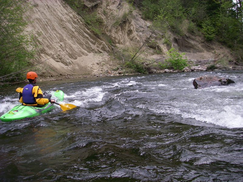
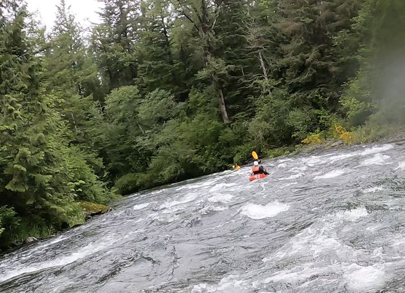
This is a class II/II+ run depending on levels, but stay alert for wood hazards. Be especially careful in the section below the 468th Ave bridge. Stay left at the first island and look for wood before going into any channels. There is a mile or so of very active riverbed that changes annually.
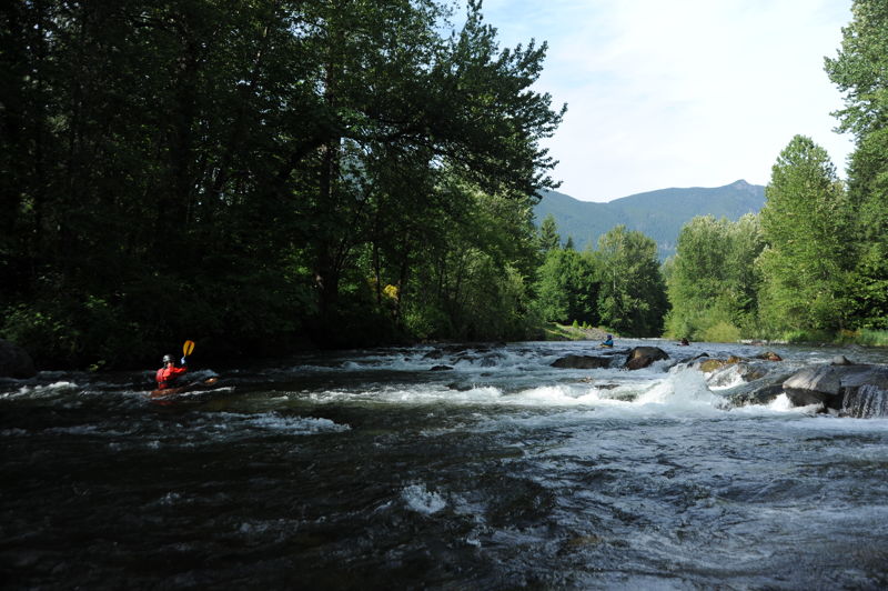
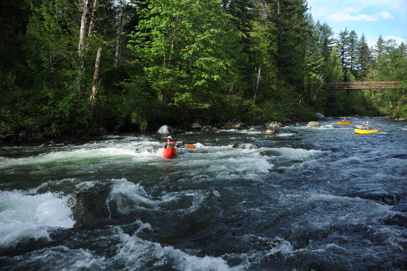
The highlight of the trip is in Waskowitz Canyon, which can become a single long class II+ boulder slalom at higher flows. You will pass under a footbridge, pass the camp (on river right), and then enter an area with houses on river left. After you go under the next bridge, houses beg
...
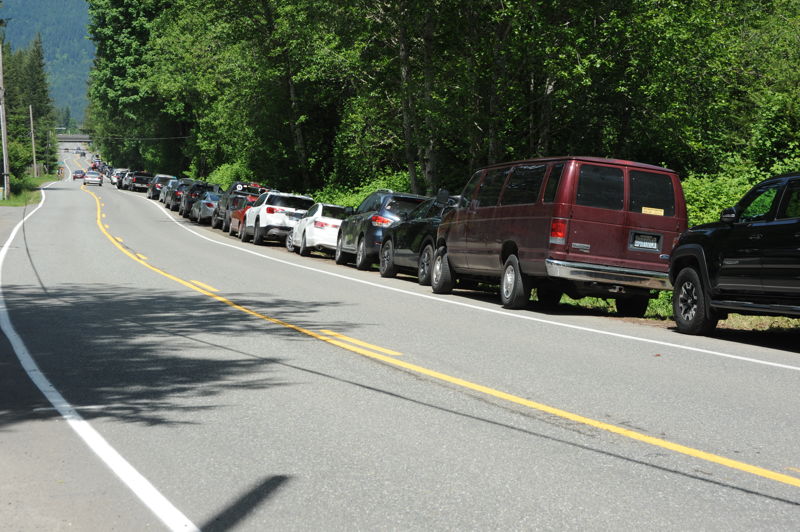
This access is the Twin Falls Trailhead at the end of SE 159th Street. Given the popularity of this hike, the parking lot can get crowded on weekends. To access the river, just walk from the parking lot to the river shoreline near the end of the parking lot where the trail starts.
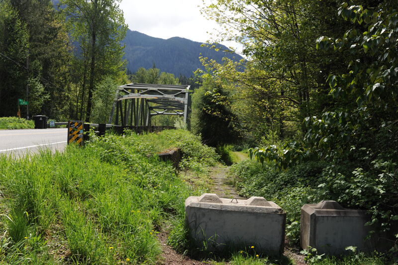
A put-in option if the State Park is full or you don't have your Discover Pass.
This short canyon is the highlight of the run.
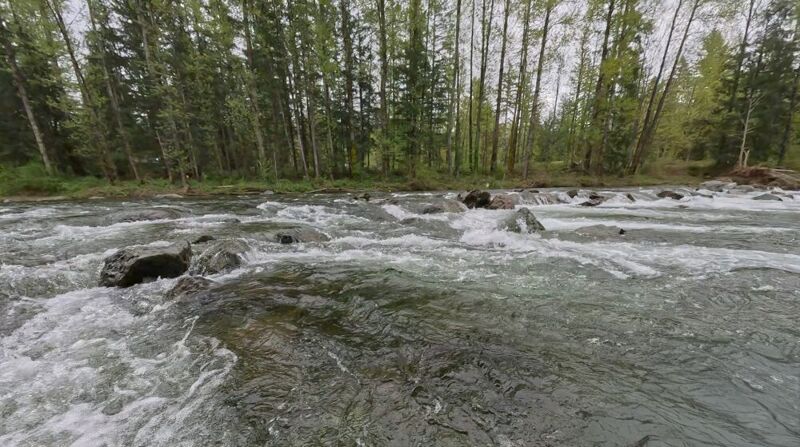
A weir formed by rocks in the channel. There are several slots that provide options at this rapid.
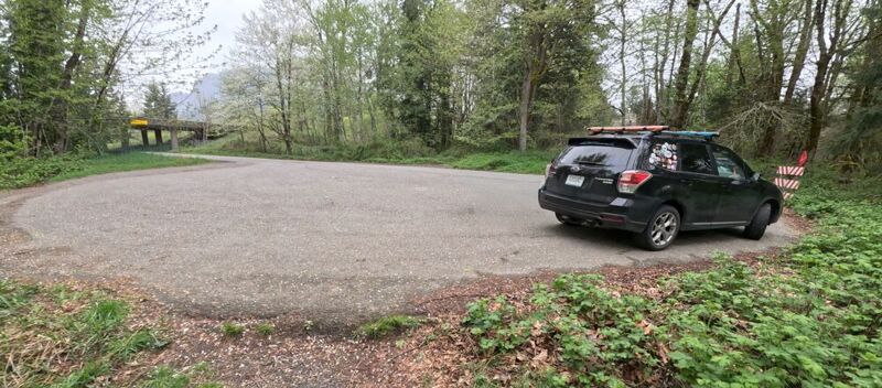
Take-out is at the cul-de-sac at the end of 424th Ave SE in North Bend (47.472584, -121.774568). Go underneath I-90 and park in the large cul-de-sac. When you exit the river, you'll climb up onto the dike, and walk northwest along the path for ~100yds, then follow the short path on the right down to the cul-de-sac.
Apr 23, 2026
Five of us took a leisurely paddle from Twin Falls down to the cul-de-sac. 3 hardshell kayaks, a packrafts, and a C1. Low flow, but enough water that we weren't scraping along. Much of the wood reported last month was gone and we didn't need to portage around anything. There were 3 significant trees down, all of which were easy to spot. The first two were above the canyon and were passable on river-left. The third was on Turtle Rock- full width of the river, but we were able to go under it on river right. At higher flows that might not be possible.
Apr 12, 2026
A great little run- in packrafts when you just need to get out on a beautiful day. Although the gauge was a bit low for our preference at 285CFS, we opted to give it a go. We were able to manage the low flow, with minimal butt scraping. We were also able to avoid the wood obstacles- by walking around the first river spanning tree on the exposed gravel bar and floating under two (see photos). At higher levels, the river spanning wood obstacles will likely need a different management solution. All in all, a great day, with good class II fun.
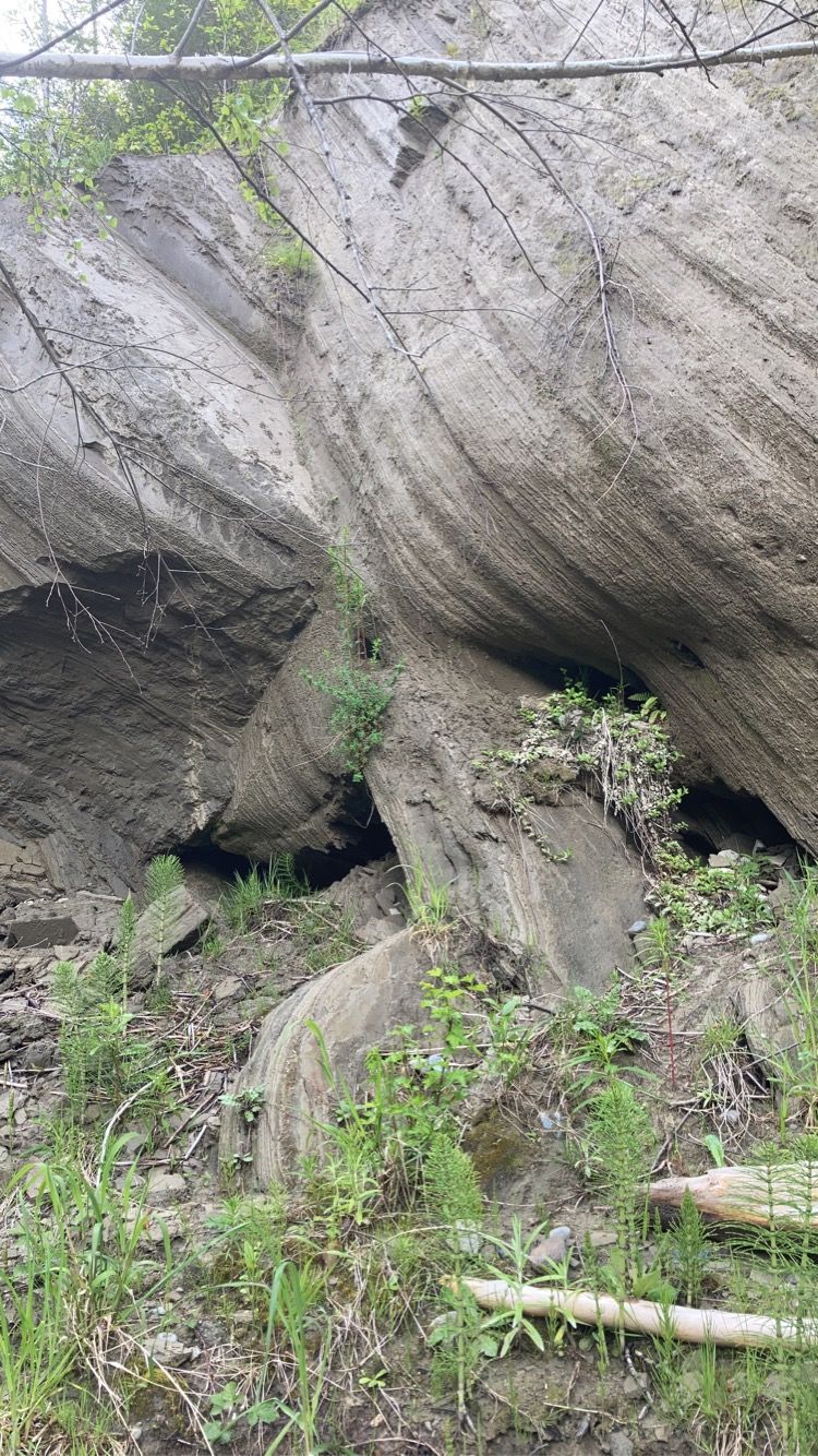
tried uploading photos.... but keep getting errors, unrelated to file size. I guess just be on the lookout for wood, especially near the clay wall.
Dec 22, 2025
I was with a large group of kayakers on Saturday, and we put in at the 468th Ave bridge, because Olallie SP was closed. We ran the river down to the 424th Ave cul-de-sac. It was a really fun level.
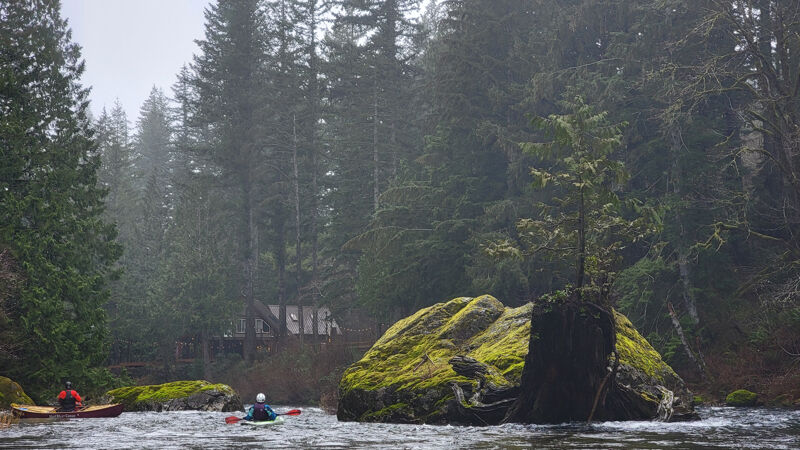
Turtle rock is sadly no more- the flood waters of the last couple of weeks moved the big stump that made the turtle's head. Here's what that rock used to look like. https://www.sanderlingphotography.com/SanderlingPhotography/PNW-Paddle-Clubs/2024/PTCC-SF-Snoqualmie/i-Qrpjb6V/A
There was a large tree across nearly the whole river immediately before the rock formerly known as Turtle Rock. It is passable by a narrow channel far left, or if you duck and the water level is low enough, you can go underneath it on river right.