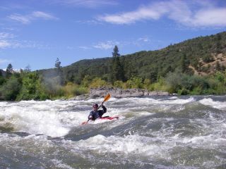
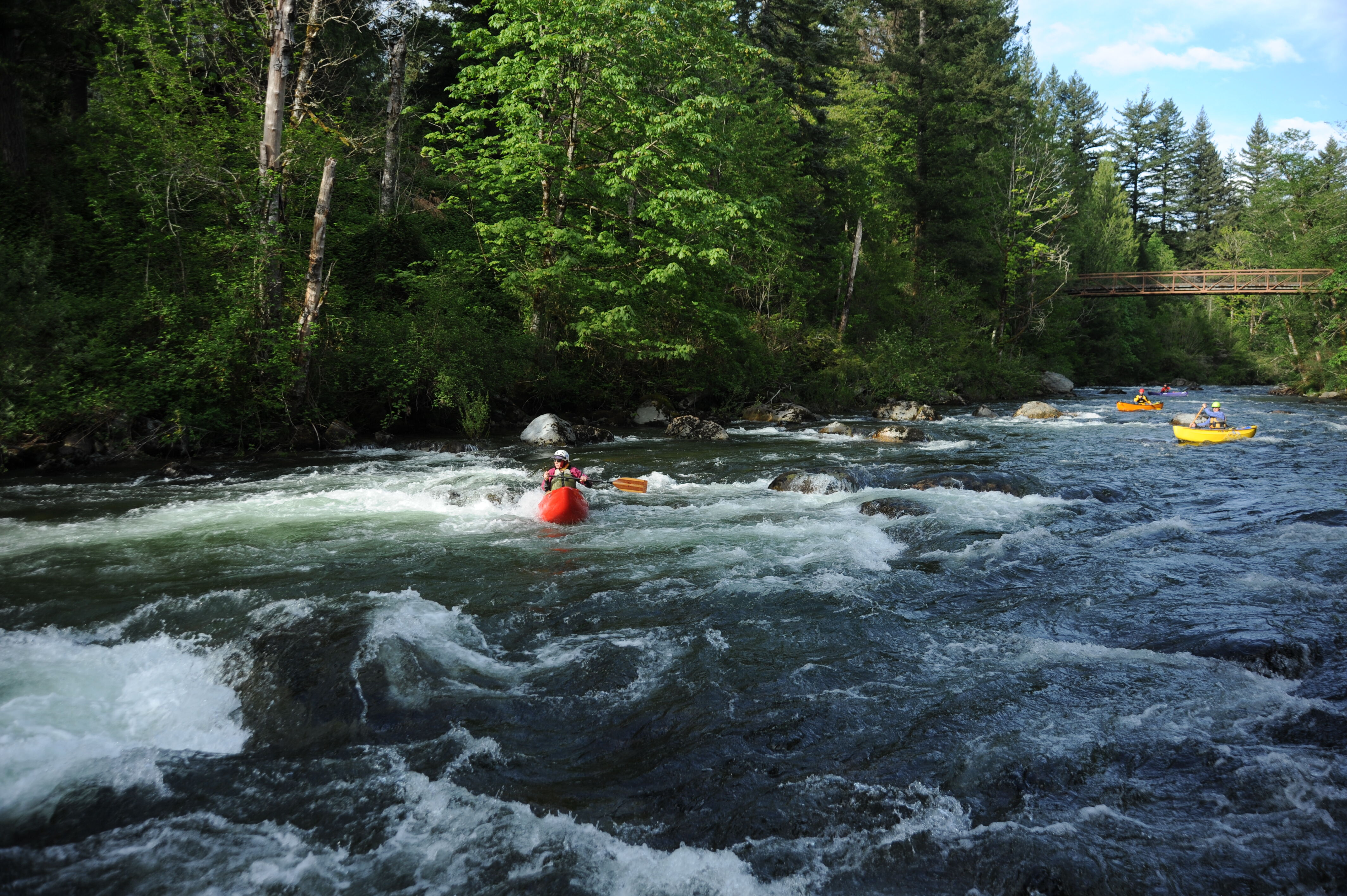
Snoqualmie, S. Fork
2. Twin Falls State Park to 424th Ave SE cul-de-sac
At 500cfs on 4/23, no portages were necessary. At higher flows, the river-wide tree at Turtle Rock may not be passable (we paddled under it on river right)
At least 5 trees have come down in the last few days, falling across the whole river, just after Clay Wall (well above the canyon). There are also two logs at Turtle Rock, one of which you can go beneath at low flows and the other is currently passable through a gap on river right or you can portage on river left.
Repeating the alert from March as there is still a log across the entire river today (4/30). At 500 cfs the log is at a terrible height for rafts and kayaks.
Today there is a log across whole river just below canyon section just after a bridge. I did not paddle the river, but a friend who did said that they went over it a few days earlier at 2000 cfs. Others said that today at 1200 cfs some were able to boof over it. Other people managed to walk around on the left, but it is tricky to see the log until you are upon it and there are only small eddies on the left that you have to get immediately in order to walk around.
SF Snoqualmie wood update: 4/30/23 at 1100 cfs you still need to pass the river wide tree above the log jam on river left. Depending on skill level you can get through the log jam. The far right channel at the log jam is a no go, it's full of wood. The center line was shallow but easy to get through, there is a big rootball on river right that could be an issue for newer paddlers. The wood at the Weir was knocked out by a previous group, so you can take the normal line though there. Obviously this can always change. Have fun out there!
Wood in weir as of 4/28/23. There is a clean line on the left. A quick scout is recommended.
There's a large log jam that has formed below Clay Wall Rapid. It's quite large and has stayed put for awhile now. As of yesterday 5/13/20 there's also a tree coming off river right just ABOVE the log jam and below Clay Wall Rapid. At 906 cfs you can sneak past the tree, but it's VERY shallow. It may be easier/safer for some folks to just get out and walk around the tree on river left.
The log jam is passable on right right, at 906 cfs we followed the channel that goes right of the island, the left channel is very shallow at this level. There are a couple strainers at the bottom right of the right channel, so be careful and watch for uncertain paddlers in your crew. At higher flows I've heard you can sneak far left at the log jam. There's alot of new down trees and wood scattered along the shores, so be extra careful after any new high water events.
The recent (Oct 21, 2017) 5500 CFS flow spike swung this log (see description below) nicely out of the main flow of the river, where it’s now parked up on the left bank.
((March 16, 2017) There's a fresh channel spanning log, maybe 2.5' diameter, just downstream from the first footbridge across from the Camp Waskowitz fire pit. At 2,000 cfs we ran over the center of the log but at lower levels you will probably have to portage.)
From King County Water and Land Resources Division: Suggested language. There are significant wood hazards from RM 0 to RM 2.1 downstream of the leveed reach of the South Fork Snoqualmie through North Bend. These hazards include a full spanning logjam at RM 0.8 and other strainers and wood accumulations both upstream and downstream of the spanning logjam. River users should use extreme caution in this reach.
There is a large tree on river right around the bend after the large clay wall. It was passable on the left side at 850 cfs, but at higher flows I would expect the main flow to push harder into the log.
Mark Ruebel, of the River and Floodplain Management Section, King County Water and Land Resources Division, warned on 3/6/14:
'We have received a report of a hazard tree on the South Fork Snoqualmie River at RM 6.9 immediately upstream of the Snoqualmie Valley Trail Bridge. The tree spans the channel and is partially submerged in the center of flow (2-26-14). The King County Sheriff’s office has investigated the hazard and has recommended monitoring of the hazard tree and potential pruning if the tree does not relocate prior to late spring.'
Approximately 200 yards upriver of the parking lot at Twin Falls State Park a large tree has fallen across the entire width of the river. This will only be an issue for folks who hike up into the park to put-in.
There is a large eddy on river right upstream of the tree, making it easy to avoid the tree. An easy portage and a couple of smaller eddies on the downstream side make the fallen tree more of a nuisance than a hazard. At higher flows (1000+) you might be able to paddle right over it.
The rest of the river up to the Percolator Pool is clean and clear.