Suiattle
2. Rat Trap (FR 25) Bridge to Sauk River
Report on Suiattle River Road from Darrington Ranger District. We have completed initial reconnaissance of the Suiattle River Road from State Route 530 to Buck Creek Campground. Crews have not been able to assess damage to the Suiattle River Road between Buck Creek Campground and the road terminus at the Suiattle River Trailhead yet due to limited access. There are multiple known points of damage from the atmospheric river storm event: There is a large washout approximately 130 ft wide and 70 ft deep at mile post 4.5 blocking vehicle access to the rest of the Suiattle River Road. There is a culvert failure at approximately mile post 10. There are two landslides crossing the Suiattle River Road bellow Huckleberry Mountain at mile post 14 and 15. These landslides appear to have come from fire scars. The Suiattle River has washed out the road at approximately mile post 15.5. There appears to be significant damage to the Buck Creek Campground with flooding from Buck Creek having damaged campground infrastructure. As reconnaissance of the road system within the watershed continues, it is likely more damage may be located. To peruse repairing the road and restoring access, we have begun two processes: We have prepared a rough assessment of damages and routed it to our Washington Office. Congress will sometimes ask the Forest Service Washington Office for information on disaster impacts and could choose to provide direct supplemental funding for disaster recovery. This money could begin to be implemented if and when allocated by Congress. We have submitted a notice of intent and have begun coordinating with the Federal Highway Administration in preparation of applying for the Emergency Relief and Emergency Relief for Federally-owned Roads (ERFO) Program. This program was established to assist federal agencies with the repair or reconstruction of federally owned roads that are open to public travel which are found to have suffered serious damage by a natural disaster over a wide area or by a catastrophic failure. The timeline for ERFO projects vary greatly from a few months to a few years depending on project urgency and complexity. I will not have a timeline for repairs until we complete a full assessment of damages, design fixes, and line up money for repair. Thanks!
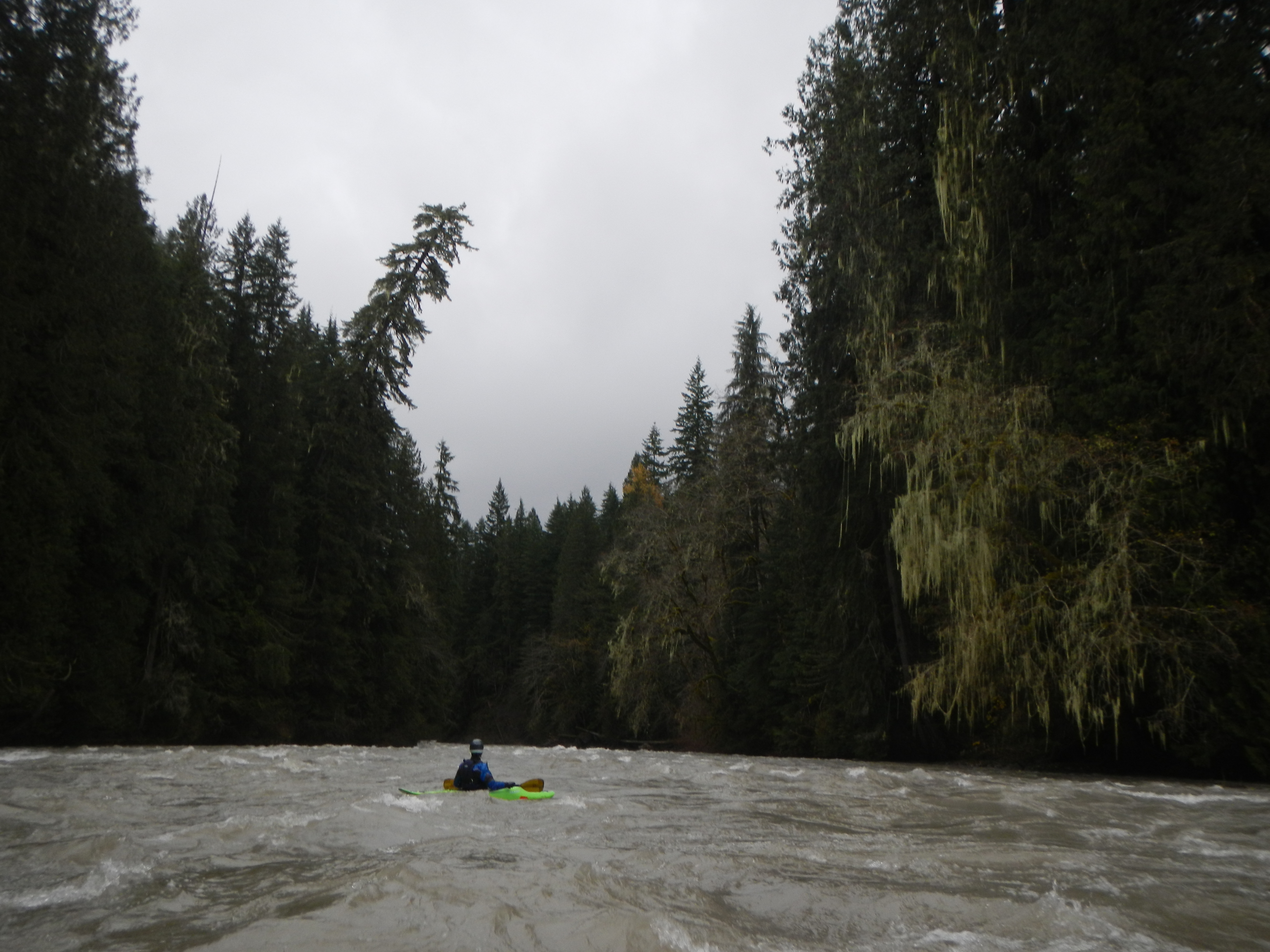
Ran this section March 3, 2020. There were six logs/jams to navigate/portage. Most serious are four huge trees which have fallen across the river in a new (primary flow)channel cutting through a wooded area. For us, the river was low enough we could use a rope to guide our oarboat under the trees. Any higher water level and this is a no-go, a very nasty portage (steep banks and thick vegetation on the shores).
As of July 26 2016 the river wide logs were cut and there are no river wide hazards on this run
A group of us ran the Suiattle on July 3. About a mile below Rat Trap Bridge, there is a river-wide logjam. We had a little over 3000 cfs in the Suiattle (subtracting the flow of the Sauk at Darrington from the Sauk at Sauk gauge). At that flow, most of the kayaks could duck under the right log easily. At lower flows it should be easier, but rafts will need to portage.
No articles