Suiattle
2. Rat Trap (FR 25) Bridge to Sauk River
Jun 15, 2025
Sauk at Sauk was 4000 cfs
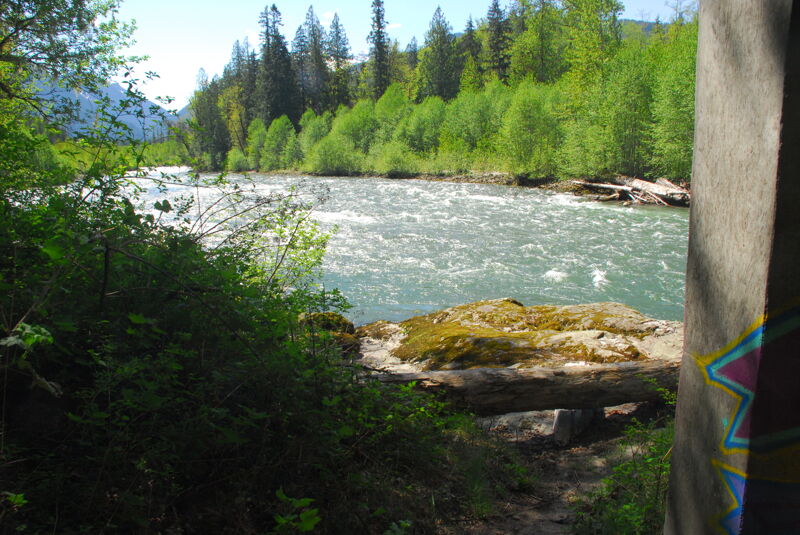
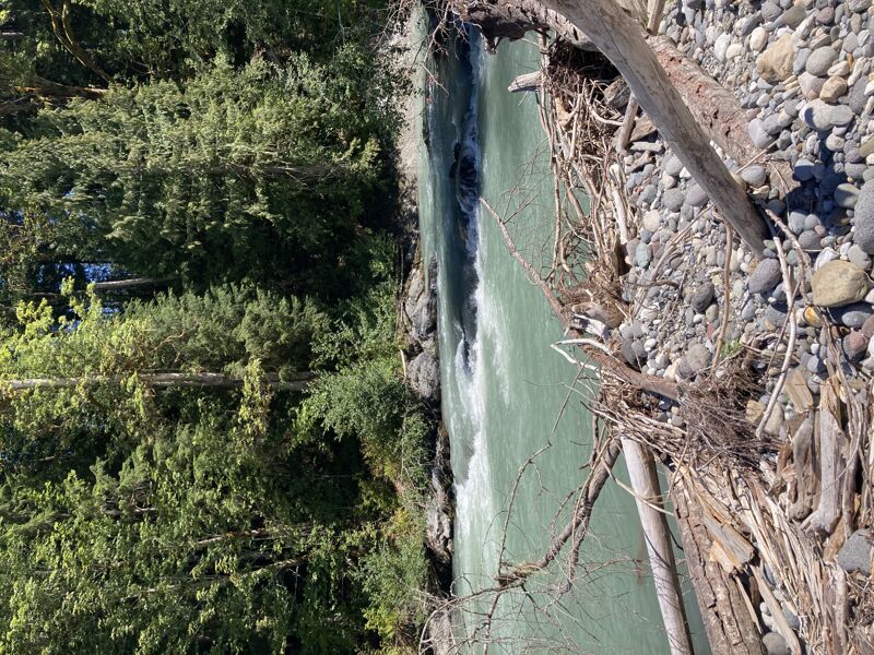
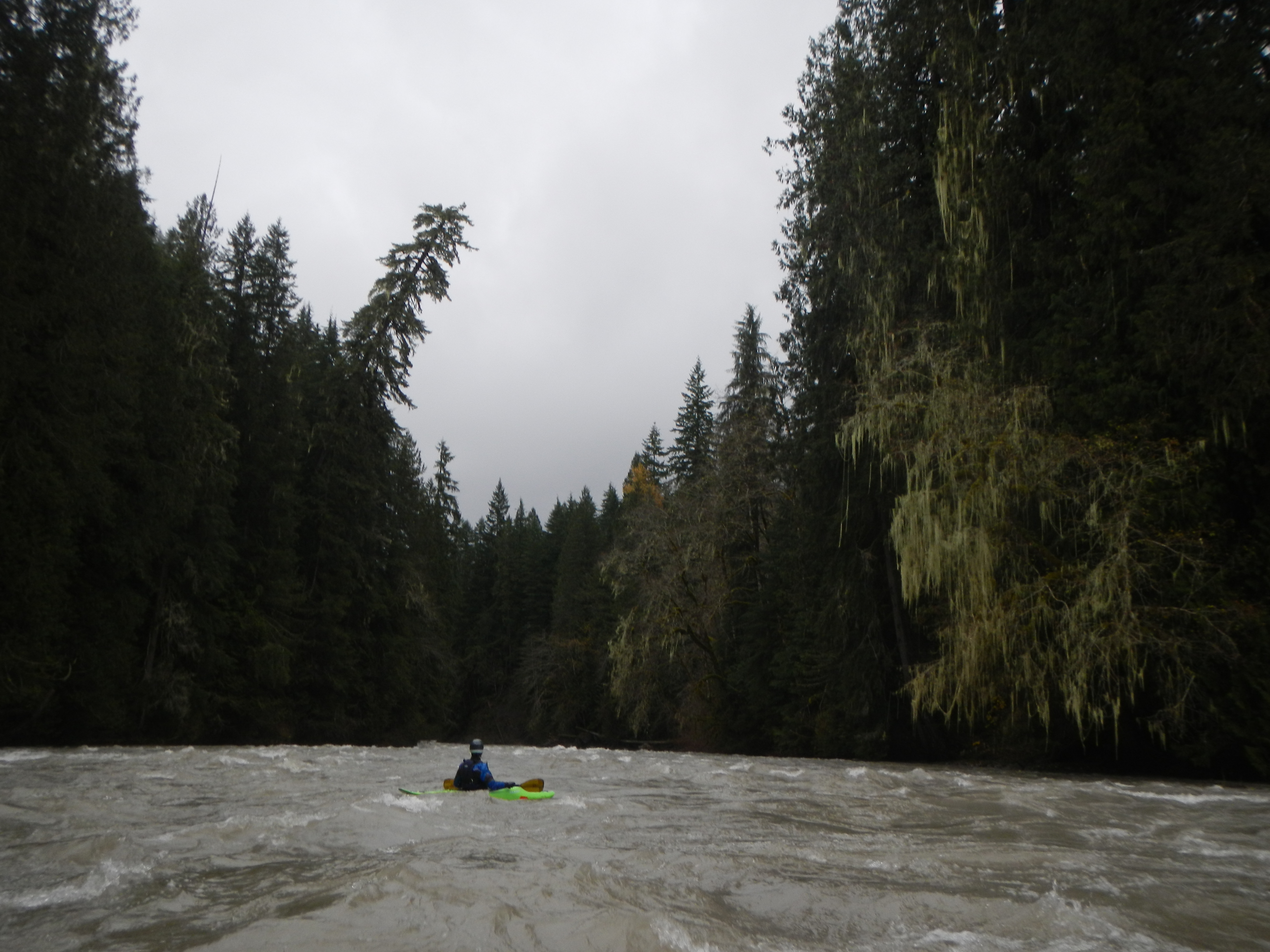
What a fun, splashy river! We were a group of 3 packrafts. We enjoyed a clean run and had zero portages. There’s logs that could be an issue but there were wide lanes for easy passage. Similarly, we found the rapids to have fun, wave trains of beautiful glacial blue water or a sneak route down the side if you so chose.
While on the flatter sections, we enjoyed the big views of the snowy peaks in the North Cascades and Whitehorse.
Overall the river was still cruising at almost 5mph, even with eddy hopping and surfing!
May 11, 2023
Site visit to the Boundary Bridge that has served as a primary access point to the Suiattle River for decades. In 2004 the river left approach to the bridge was washed away where a formal river access site was provided by the Forest Service. The bridge was extended but no accommodations for river access were made. We took measurements and assessed the condition of access being used on the upstream river right side of the bridge. We confirmed this access is within the Forest Service right of way for the bridge, a strip 66' wide extending 33' on either side from the centerline of the bridge as filed with the State of Washington on April 24, 1964.
Aug 14, 2022
Ever since I started boating I've heard great stories about the Suiattle River from commercial guides and local paddlers, though it has become less popular in recent years due to a missing gauge, a washed out road and some inconveniently placed wood in several places. Well it's that time of year when everything is dwindling and it's time to explore. The gauge read 2250 on the Sauk at Sauk and I'd say the Suiattle held roughly half of that water. The group was two packrafters and an IK and it took us roughly 5 hours to complete the trip from Rat Trap Bridge down to the Lower Sauk boat launch with a couple of short stops along the way.
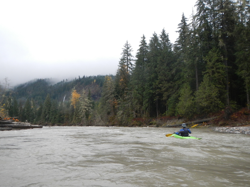
While this run is listed as a II-III run, I would consider the rapids to be strictly II-II+ with the exception of Hurricane which I would call a solid III. The main hazard on this run was wood. While we only had one spot we had to portage there was a decent amount of wood on the banks of the river and some pieces scattered throughout the active channel requiring some extra movement.
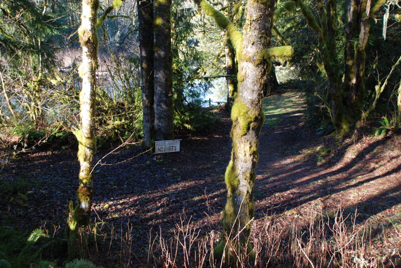
Onto the run, we put in at Rat Trap Bridge, there was no clear access at the bridge besides the private property but we scrambled down the bank near the bridge and geared up below the high water line at the private property beach, cause they don't own the river. The river kicks off with a bunch of class II rapids passing through the floodplain, after a couple long meanders the river cuts north and the floodplain widens up shortly before Tenas Creek, this is where we encountered our portage, which was quick and easy with plenty of time to see it coming and a hood eddy above to exit. Right after you pass the confluence with Tenas Creek on the right, 'Coyote Crossing' pops up. This rapid hardly stands out from the rest and had slightly larger boulders at a slightly steeper gradient than the rest of the run, it really does not deserve the III rating unless there is wood in play which there wasn't. After a few more rapids the river will do a very sharp bend to the left and run into a headwall in the middle of the river. Left is clear, right is also clear but has a ledge feature and the river right side of the right channel is a sticky weir type hole and should be approached with caution. In previous years this right channel was completely blocked by huge logjams according to one of our crew.
From here the river flows through dense forests with tons of moss. Big creek will drain in from the right shortly and it was really cool to see the clear waters mix with the silty Suiattle. Hurricane is coming up shortly, you can tell because of a heavily eroded clay cliff on the right bank followed by a fun wave train, then it's Hurricane. Hurricane is pretty simple, stay right for the easy line, avoid left because of some wood in play, go middle for technical boulder slaloms. After Hurricane is about 5 miles of fun class II/II+ gravel bars with the occasional wood hazard on the side before settling out and opening back up to floodplains a couple miles from the Sauk confluence. From the confluence it's pretty wide and clear to the boat launch just below the bridge on river left.
Another note on the Suiattle, be careful when standing on wet sandy areas. The fine powdery glacial silt in the riverbed mixes with the water to create a spooky liquid really similar to quicksand. One of the guys in our group was telling us about it and we weren't quite sure if we believed it but it's very, very real.
Jul 10, 2022
6 kayakers including 2 newer ones ran this section on 7/10/2022 at 7160 cfs Sauk@Sauk. The first rapids after the Rat Trap Bridge were clean. A couple of miles down, the big right bend was blocked. We landed on the gravel bar in the middle and made an easy 30-ft portage. About 100 yards below the portage before the next left bend, beware of a submerged tree sticking out from the right shore. It is in the shade and hard to see unless you know it's there (It was there last year, too).
After braided channels, the left channel of a big island was completely clear. There is another place like this later (braided channels & island), but that left channel is completely blocked at the entrance, so it is obvious.
The takeout was very shallow. Best take a look before you go. There was a terribly destroyed car in the park, though it didn't happen during our trip.
Mar 3, 2020
WARNING! Last time I ran the Suiattle River, the Rat Trap Bridge to Sauk River Bridge section, March 3, 2020, there were six logjams. We rope-portaged the all, but it was tricky and definitely unexpected as I have run this section about 70 times and never encountered anything as dangerous or time consuming. I recall at least three of those jams being caused by the river carving a new channel through a wooded section of forest. I haven’t paddled it since expecting those jams to collect even more debris and being even more difficult to portage. Please write if you run this and found they have cleared. I’ll do the same as I am interested in making it a scouting trip to find out, ...hopefully in the relatively near future.
Nov 15, 2015
We enjoyed a high water run on the Suiattle River in November.
Jan 13, 2015
Site visit to check out access sites including the Boundary Bridge put-in and Tenas Creek Access site.
Oct 25, 2014
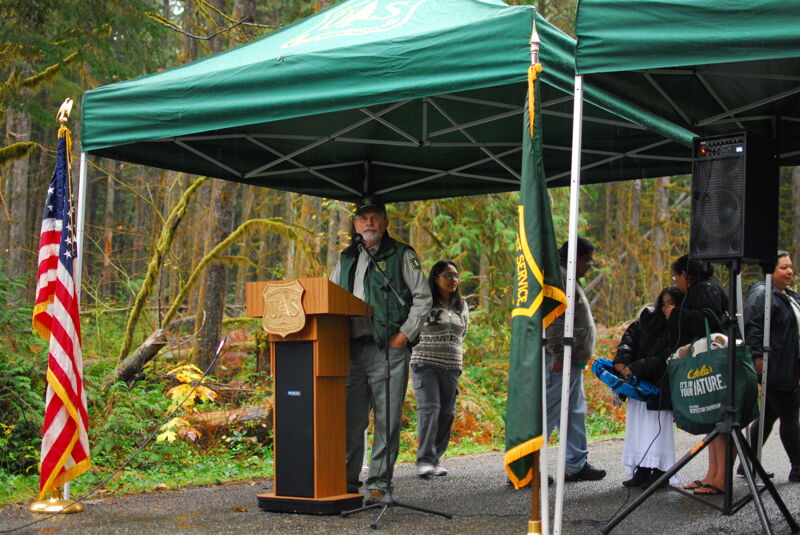
On a fall day in 2014 the Forest Service and Members of Congress marked the reopening of the Suiattle River Road which was damaged in floods a decade ago.
Apr 17, 2010
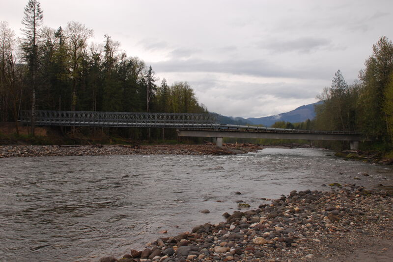
The Boundary Bridge has been repaired with a new addition to the bridge on the river left side. This site visit includes photos showing the river right, river left, and upstream views of the bridge with its new extension.
Jul 17, 2007
As of July 2007, the road is open with a detour around the washout at mile 6. At higher flows, there are no problems with logs - the bottom section is surprisingly clean and has very few braids. At lower flows, there may be some blocked channels in the first couple of miles, but you should have plenty of warning. The put-in at Rat Trap Bridge is now completely different from the photo. Logs piled up at the far end of what is left of the bridge, and pushed the channel to the right. The put-in is now at the base of the bridge on river right. Note that in the summer there are people who use the bridge for camping (at least until the commercial groups annoy them enough to wisen them up).
Sep 4, 2006
Ran this section 9/4/2006. A lot of fun with an IK but wouldn't suggest using a hard shell due to shallow water. All but one feature had lines clear of wood and easy to boat scout except one: When you see a land slide on river left (trees laying down on the hill) get out and scout. A log blocks the only entrance deep enough to run the upper portion of the rapid. We portaged and put in just above the main part of the drop. The last few miles are butt-scootchin' with a lot of paddling. Definitely worth the trip. *Sauk at Sauk was 1300 cfs*.
May 8, 2005
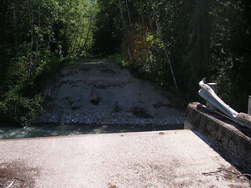
This was the put-in for the Lower Suiattle (you can still see the sign in box mounted on the side of the bridge where the boat ramp was), but during the October 2004 storms the river carved a new course around the end of the bridge.