Suiattle
2. Rat Trap (FR 25) Bridge to Sauk River
| Difficulty | II-III |
| Length | 12.9 mi |
| Avg Gradient | 30 fpm |
| Reach Info Last Updated | May 7, 2020 |
Beginning high in the North Cascades, the Skagit Wild and Scenic River winds down steep slopes, through forested hillsides and wide open valleys, eventually reaching Puget Sound. The rivers of this system – the Skagit, Sauk, Suiattle, and Cascade – flow through rugged wilderness, forestlands, rural communities, farmlands, and [...]Read More
This is a great run with a long season that has been enjoyed by river cruisers for over half a century. Wolf Bauer, founder of the Washington Kayak Club and a co-founder of American Whitewater, recognized the spectacular conservation opportunity of this free-flowing river and it was protected as part of Washington's first Wild and Scenic River designation in 1978.
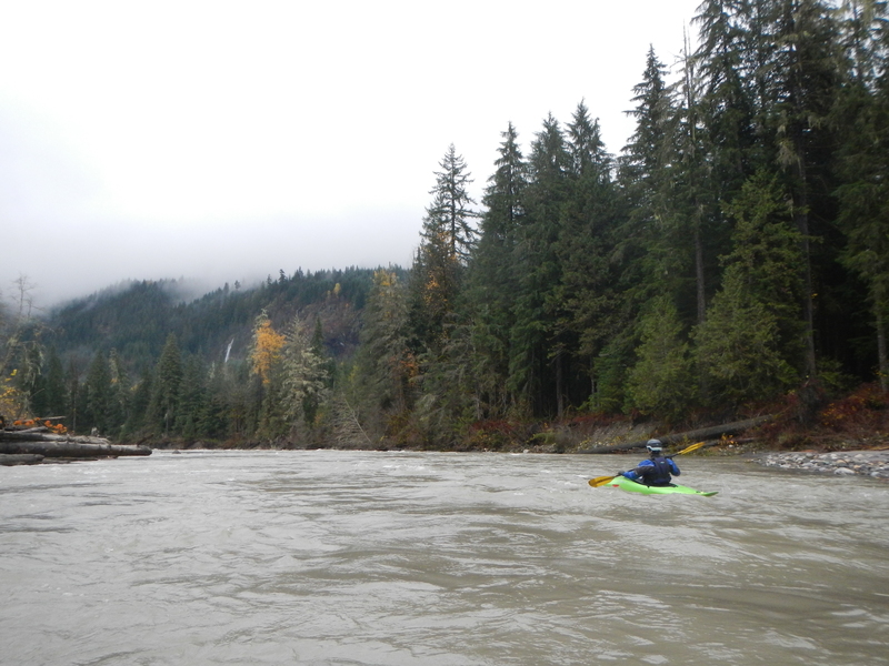
The low elevation of this run means you can enjoy the river throughout the winter after rain and the season can extend well into summer on snowmelt when other nearby rivers are getting too low. Most of the run flows through private and state land--the Boundary Bridge roughly marks the boundary of the National Forest which is upstream of the bridge--but the river corridor is undeveloped and protected as a Wild and Scenic River. The river banks have been logged in the past but recovered nicely in the decades since and it is now one of the most scenic river tours in Western Washington.
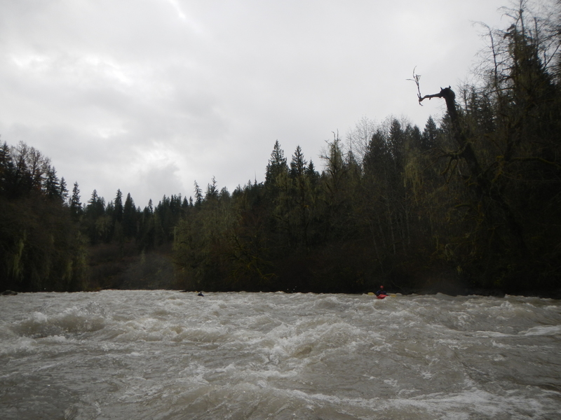
Winter storms and an unconstrianed floodplain means this river is continually transporting large trees through the system. Be prepared for wood to be in play anywhere along the run as massive log jams can build up over years and then suddenly disappear in a high water event with the pieces reassembling downstream. For the most part the river is wide enought that channel-spanning log jams are unlikely but there are a few sections where the river is more braided and wood can block a particular route.
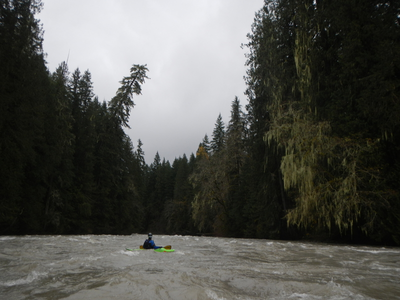
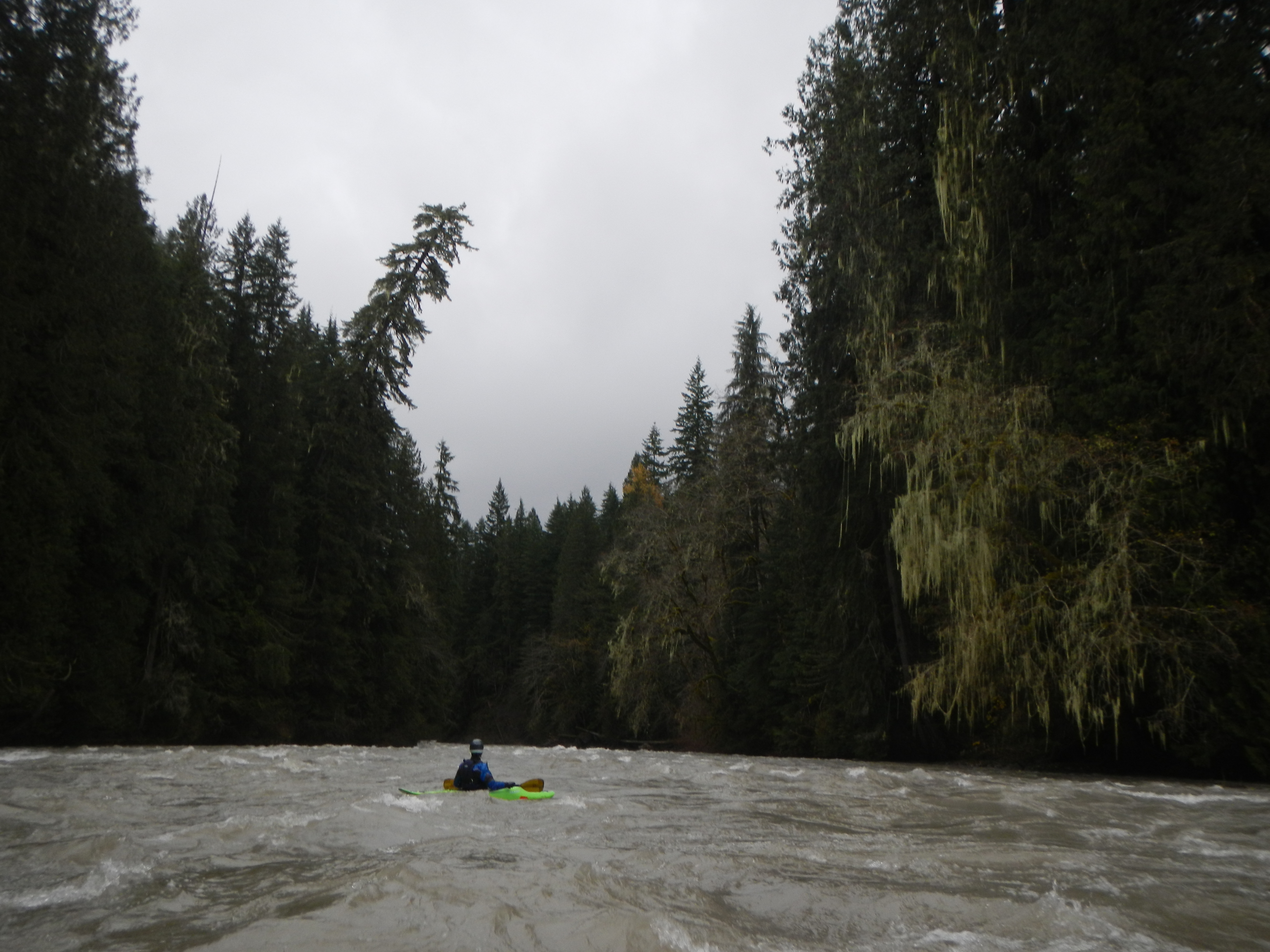
The run has lots of good class II-III whitewater and some fun play spots here and there. If you're looking for an endless supply of big wave trains check this run out after a healthy winter rain or after several days of hot weather just after peak flows on the Sauk have passed. Two distinct class III rapids of note include Coyote Crossing followed by Hurricane. Coyote Crossing is one of the most scenic sections of the run where tall trees tower above the river on both banks. Hurricane is the longest rapid on the
...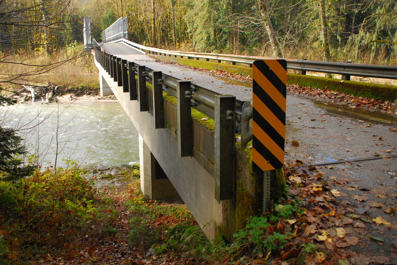
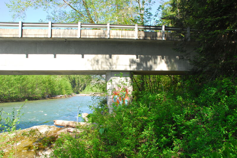
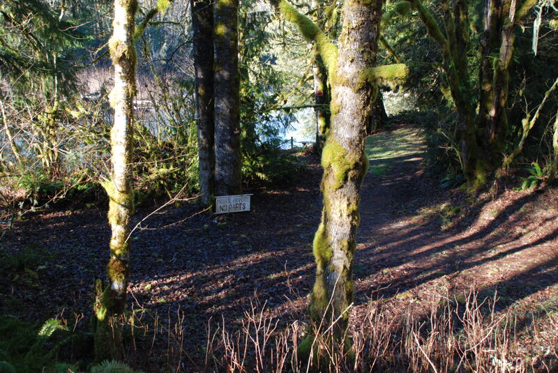
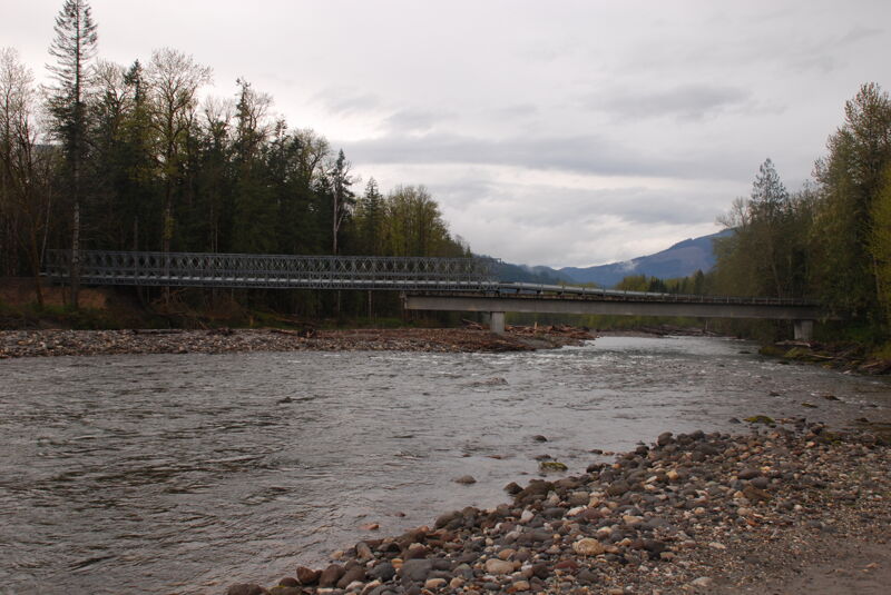
The historic access on the downstream river left side of the bridge washed away in a flood event. The best option now is on the upstream river right side of the bridge. The Forest Service has an easement that extends 33' on either side from the centerline from the bridge. Despite the no trespassing signs you may see on the trees, you can access the river on the upstream river right side of the bridge and still be well within this public easement.
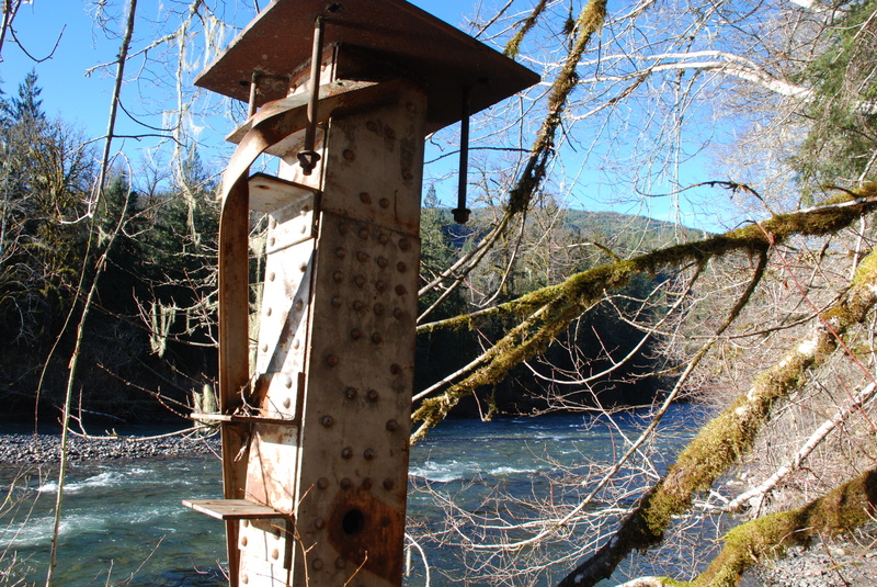
Identified as a potential access point in the river management plan but currently undeveloped. It is reached by following an old grade through the woods along Tenas Creek to a historic bridge crossing. USGS River Mile 9.6.
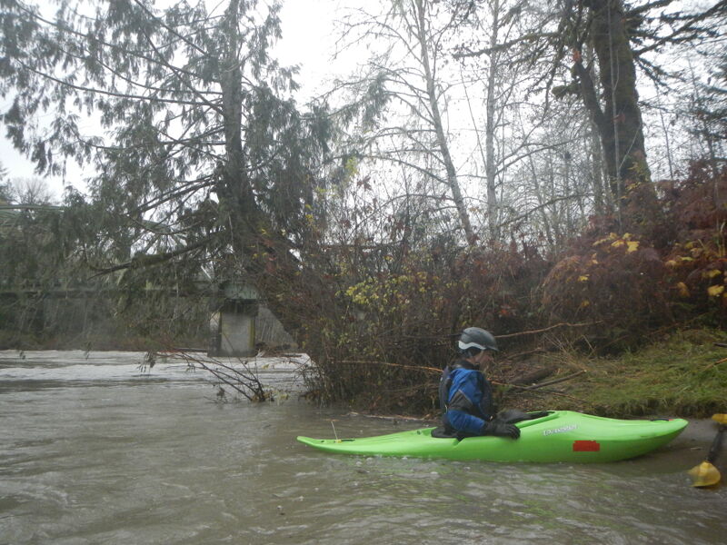
The take-out is at the Sauk Boat Launch, a site administered by the Forest Service on river left just after you pass under the Highway 530 Bridge.
Jun 15, 2025
Sauk at Sauk was 4000 cfs
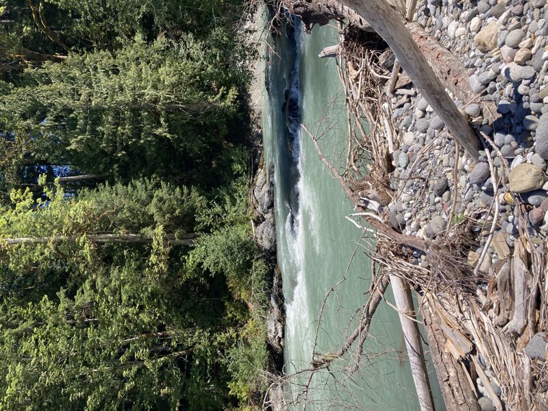
What a fun, splashy river! We were a group of 3 packrafts. We enjoyed a clean run and had zero portages. There’s logs that could be an issue but there were wide lanes for easy passage. Similarly, we found the rapids to have fun, wave trains of beautiful glacial blue water or a sneak route down the side if you so chose.
While on the flatter sections, we enjoyed the big views of the snowy peaks in the North Cascades and Whitehorse.
Overall the river was still cruising at almost 5mph, even with eddy hopping and surfing!
May 11, 2023
Site visit to the Boundary Bridge that has served as a primary access point to the Suiattle River for decades. In 2004 the river left approach to the bridge was washed away where a formal river access site was provided by the Forest Service. The bridge was extended but no accommodations for river access were made. We took measurements and assessed the condition of access being used on the upstream river right side of the bridge. We confirmed this access is within the Forest Service right of way for the bridge, a strip 66' wide extending 33' on either side from the centerline of the bridge as filed with the State of Washington on April 24, 1964.