Suiattle
2. Rat Trap (FR 25) Bridge to Sauk River
August 14, 2022
| Reporter | |
| Flow | Low Runnable |
Ever since I started boating I've heard great stories about the Suiattle River from commercial guides and local paddlers, though it has become less popular in recent years due to a missing gauge, a washed out road and some inconveniently placed wood in several places. Well it's that time of year when everything is dwindling and it's time to explore. The gauge read 2250 on the Sauk at Sauk and I'd say the Suiattle held roughly half of that water. The group was two packrafters and an IK and it took us roughly 5 hours to complete the trip from Rat Trap Bridge down to the Lower Sauk boat launch with a couple of short stops along the way.
While this run is listed as a II-III run, I would consider the rapids to be strictly II-II+ with the exception of Hurricane which I would call a solid III. The main hazard on this run was wood. While we only had one spot we had to portage there was a decent amount of wood on the banks of the river and some pieces scattered throughout the active channel requiring some extra movement.
Onto the run, we put in at Rat Trap Bridge, there was no clear access at the bridge besides the private property but we scrambled down the bank near the bridge and geared up below the high water line at the private property beach, cause they don't own the river. The river kicks off with a bunch of class II rapids passing through the floodplain, after a couple long meanders the river cuts north and the floodplain widens up shortly before Tenas Creek, this is where we encountered our portage, which was quick and easy with plenty of time to see it coming and a hood eddy above to exit. Right after you pass the confluence with Tenas Creek on the right, 'Coyote Crossing' pops up. This rapid hardly stands out from the rest and had slightly larger boulders at a slightly steeper gradient than the rest of the run, it really does not deserve the III rating unless there is wood in play which there wasn't. After a few more rapids the river will do a very sharp bend to the left and run into a headwall in the middle of the river. Left is clear, right is also clear but has a ledge feature and the river right side of the right channel is a sticky weir type hole and should be approached with caution. In previous years this right channel was completely blocked by huge logjams according to one of our crew.
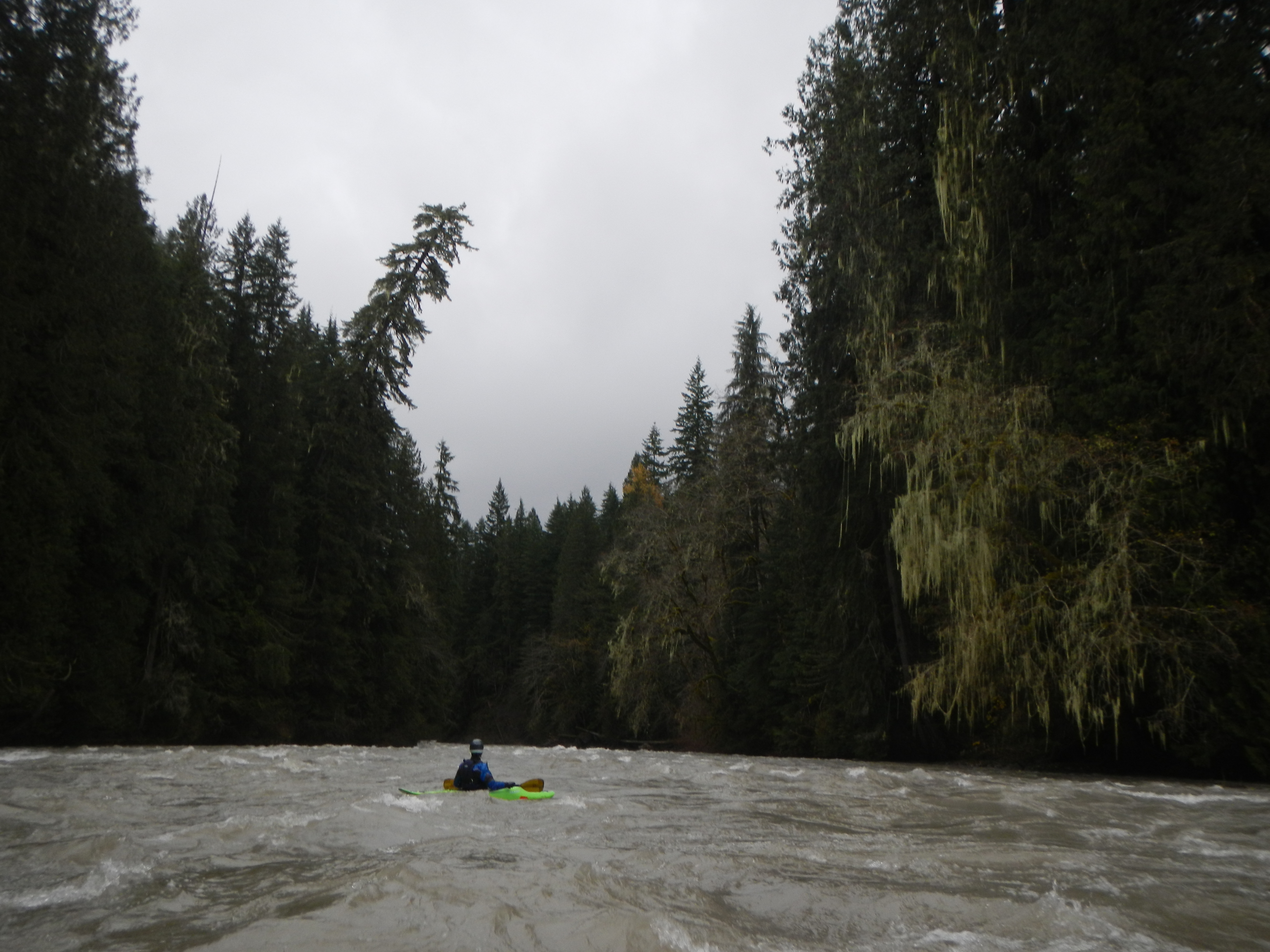
From here the river flows through dense forests with tons of moss. Big creek will drain in from the right shortly and it was really cool to see the clear waters mix with the silty Suiattle. Hurricane is coming up shortly, you can tell because of a heavily eroded clay cliff on the right bank followed by a fun wave train, then it's Hurricane. Hurricane is pretty simple, stay right for the easy line, avoid left because of some wood in play, go middle for technical boulder slaloms. After Hurricane is about 5 miles of fun class II/II+ gravel bars with the occasional wood hazard on the side before settling out and opening back up to floodplains a couple miles from the Sauk confluence. From the confluence it's pretty wide and clear to the boat launch just below the bridge on river left.
Another note on the Suiattle, be careful when standing on wet sandy areas. The fine powdery glacial silt in the riverbed mixes with the water to create a spooky liquid really similar to quicksand. One of the guys in our group was telling us about it and we weren't quite sure if we believed it but it's very, very real.