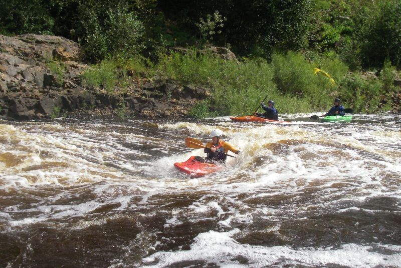
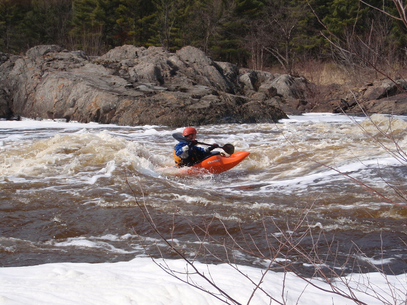
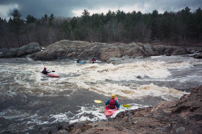
Black (Mississippi Trib.)
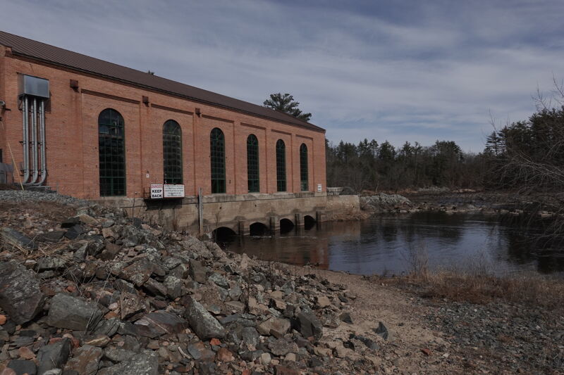
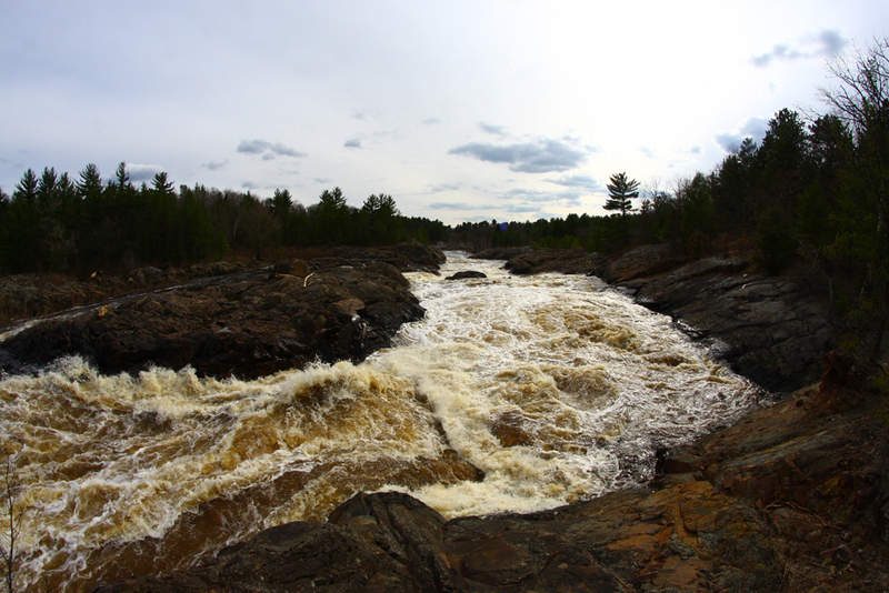
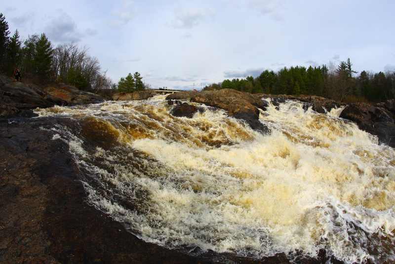
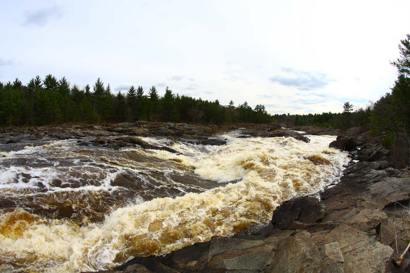
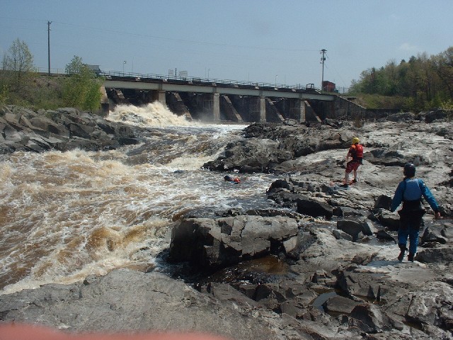
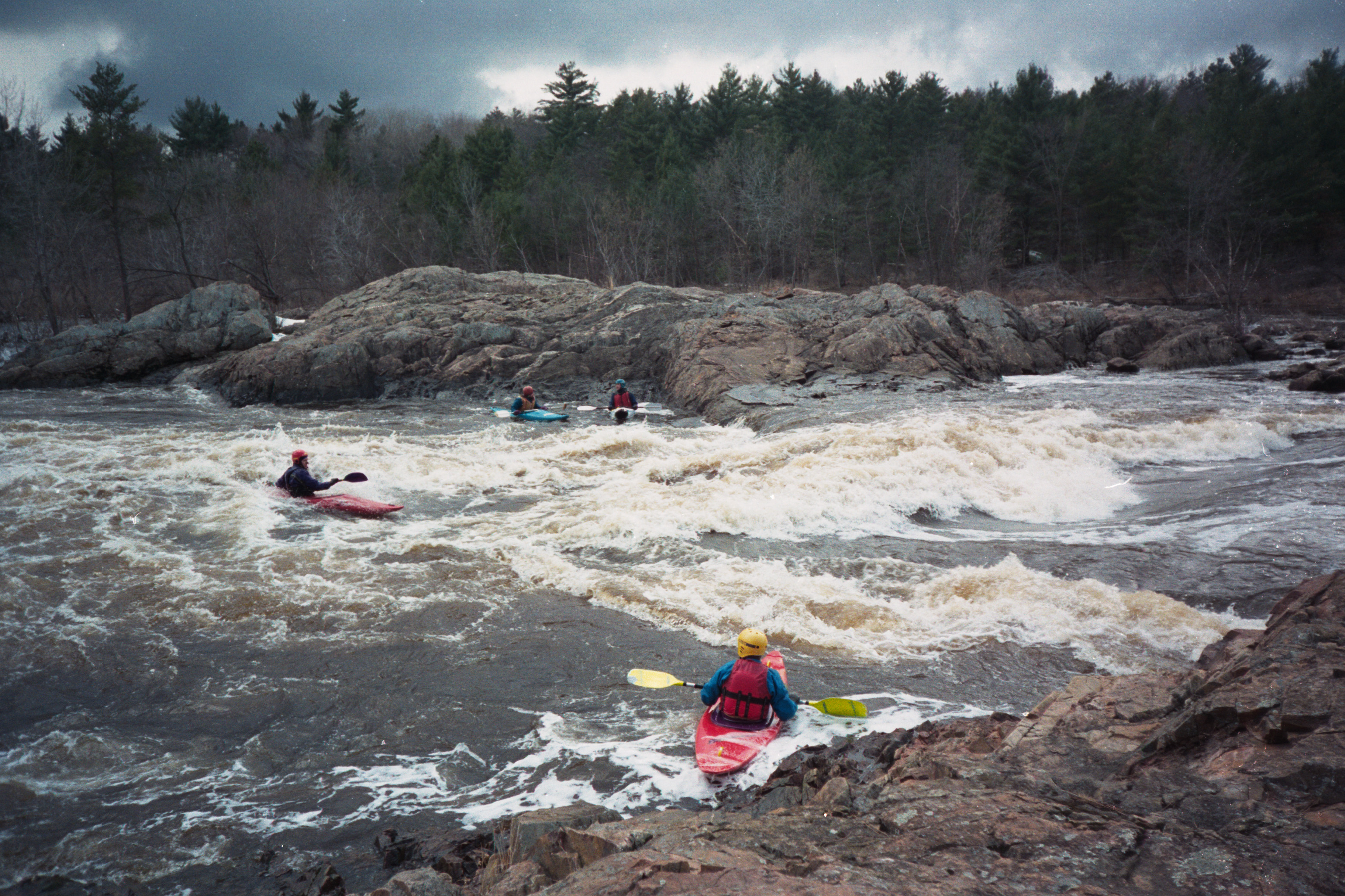
E) Hatfield Dam to Power Plant (3.2 miles)
Apr 6, 2019
Best I can tell at this time, in addition to the '888' phone line no longer being available, neither is the web address John listed.
The best info I have now found online is at https://www.ready.noaa.gov/ready2-bin/state.pl?product=hydro&state=wi
which is a L-O-N-G page of data on numerous dams. Pull up that page, then search the page for the text 'Flow'. Doing so will reposition the page to the latest reading, generally showing (in the top-third of the page) 'Pond height' (which will nearly always be in the 800's), followed by 'Tail Heights', then 'Flow'.
(The rest of that page lists periodic readings going back to the prior day.)
May 12, 2014
The virtual 'gauge' shown here in this listing is useless. The NOAA gauge John mentioned is the only accurate way to state how much water is in the reach.
Apr 10, 2013
888-HYDROWI is no longer being supported by the Dam Operator.
Current flow information can be found at:
http://www.crh.noaa.gov/arx/?n=hatfield\_arbutus\_monitor