Devils
Pleasant Road to Hwy.147 (4 miles)
Nov 21, 2020
Grew up in Manitowoc and had driven over this river on I-43 many times. Although flows were too low for boating, my dad and I had no problem walking up to the historical building and asking permission to walk around the ledges. This was May 2017. Not sure if everyone is always that friendly but I got the impression if they let me scout then they aren't all that anti-boater...but I was just a 'photographer' that day.
Apr 22, 2017
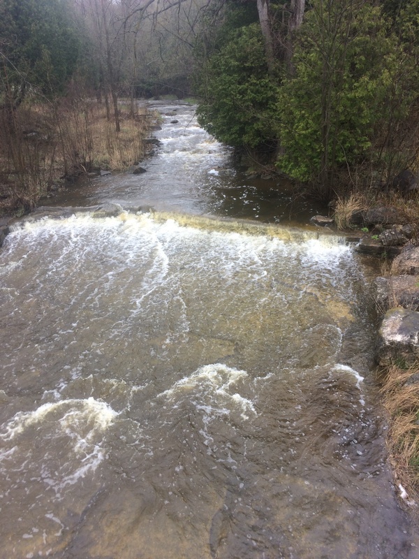
Looking upstream from the CTH.R bridge, the river is (relative to its size) wide and water sheets shallow across sloping bedrock.
Apr 22, 2017
The river is wide (relative to its size) as it heads toward the CTH.R bridge. If it looks anything more than a total grunge here, you may have a decent flow for a run. The best gauge is still going up to the put-in to check depth of water over the rock in the upstream-left corner of the bridge abutment there.
Apr 19, 2014
UPDATE: As of 2015.12.14
A tornado (summer, 2013) reportedly had filled the stretch from Devils Meet Ledges almost all the way to Hwy 147 with strainers and many trees completely spanning the river. Running Devil's River involves running this stretch of West Twin, so that had made running Devil's rather less desirable.
We can now report that the West Twin is substantially clear of that debris.
Apr 27, 2009
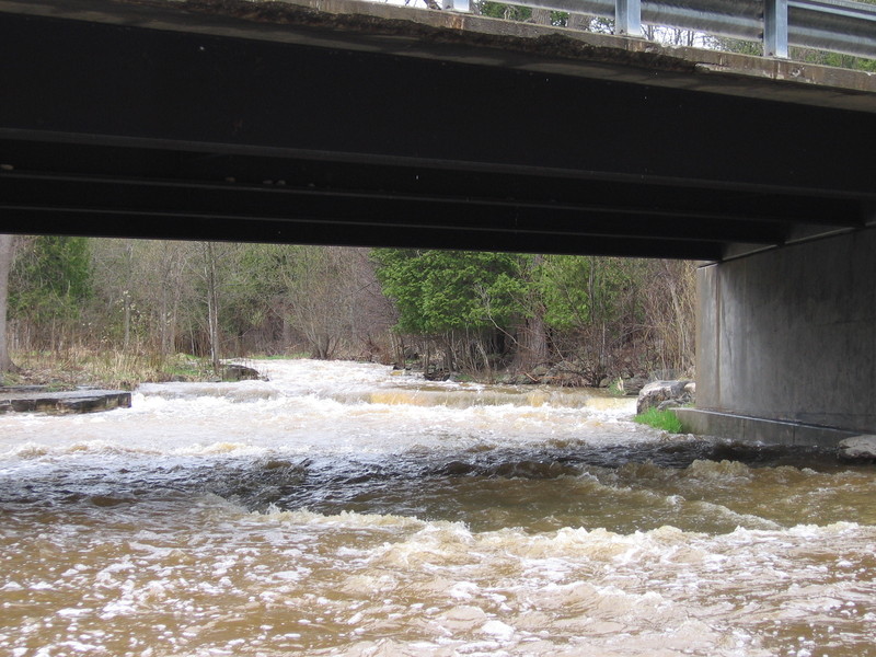
A view of the lead-in to the CTH. R bridge.
Apr 9, 2002
Running the falls at a moderate level.
Jan 1, 1900
Brian runs the falls and gets an unexpected surf in the hole at the base.