Chestatee
3 - Copper Mine to Lumpkin County Park
Jun 5, 2011
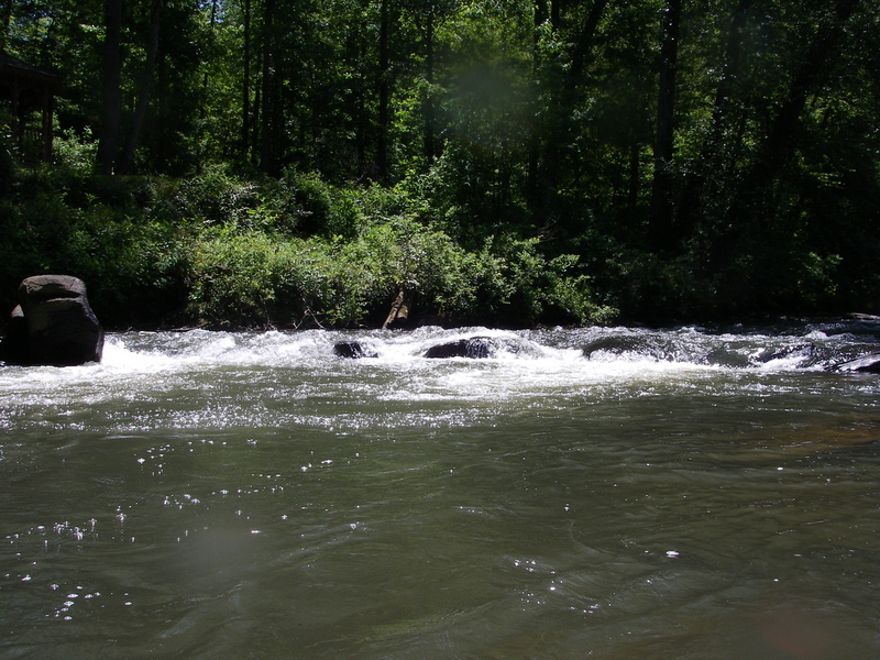
My wife, daughter and I ran the section from Coppermine to Appalachian Outfitters Saturday 06-04-2011. The reported flow was 205 cfs and the gauge showed 1.1 feet. The run was extremely rocky. We scraped along the bottom of the river at nearly every fall, rapid, or ripple. While we never had to exit our boats to drag off rocks, it was a bit aggravating and did affect our ability to line up for runs. The options for running the various falls and shoals disappear at this low level an you often find yourself with but a single option, other than a portage, for passing a fall or rapid. This can create difficult and dangerous situations due to the lack of room to maneuver in a rapid or fall or to avoid sieves. If you plan to run this section at low levels be prepared to deal with shoals, sieves, and other obstructions that are under water at higher water levels.
Finally, the distance from the intersection of Hwy 9 and Hwy 52 to the bridge at coppermine is 1.8 to 1.9 miles and parking can be tricky as it is strictly roadside parking at the bridge.
Mar 15, 2010
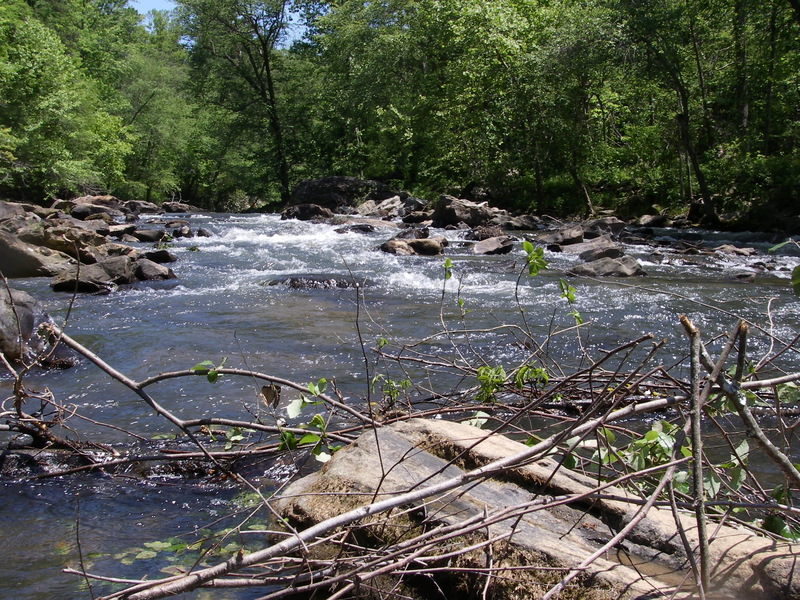
Ran the section between Appalachian Outfitters and GA 400 on Saturday. River was nice and full, but lots of debris and at least two bank-t-bank downed trees. Some of the landmarks and beaches are hard to recognize with water up. Some of this section's 'rapids' are blown out at this water level; some new play spots appear in sections that are normally high and dry. All pretty straightforward though and easily navigated albeit fast water for the Chestatee.
Jul 13, 2008
there's a stainer in the middle chute on copper mine rapids at the first drop would be the best run if not for the tree in the rapid. Chris
May 19, 2007
Add another strainer to the list - May 19, 2007 in the pool just before Blasted Rock, river right. River left is open.
The strainer below Blasted rock is more of a hazard at this level 1.08 or lower as there is now a ledge that you have to go over, as higher level the little ledge is not visiable. The current want to pull you into the strainer.
May 18, 2007
Full view shot of the rapid a little boney that day
Shot of the first drop
This is the bottom section of the run - simple run just watch out for the rocks
Until this day this rapid was unamed but today forward it is now known as Pete's Rock.
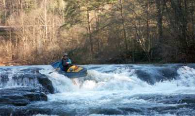
May 18, 2007
Blasted rock is divided into two parts the top part which is a bumpy class II run and then it jogs right to the bottom section
May 12, 2007
Two new strainers (May 12, 2007) both are below Blasted Rock, first is jsut past the curve after Blasted rock and is 3/4 block from river right, Large Beech tree, easy to get about on the left. The other a spruce, below the church property beach area on river left, blocking 3/4, easy to get around on river right
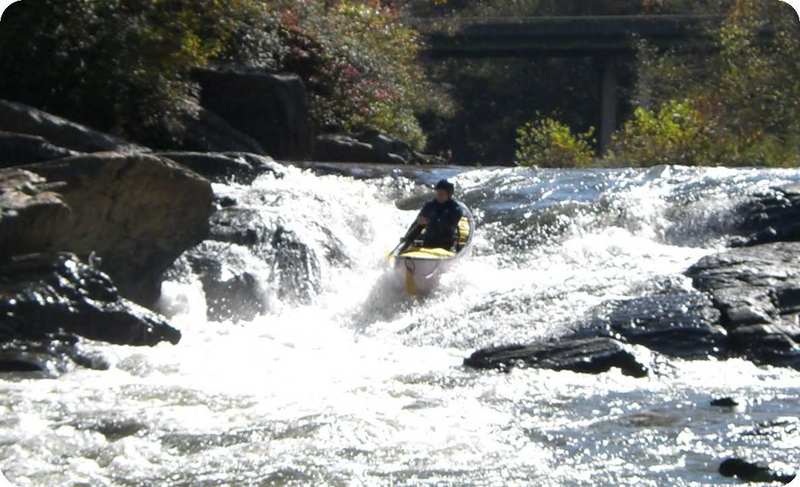
Oct 1, 2006
This is the first ledge of three that makes up this rapid. Jim is running the center shoot
Hanging over the ledge at the second drop.
Pulling into the eddy just below the second drop.
Jan 11, 2006
New Streamkeeper: Rick Bellows, chestateer@yahoo.com.