Little Eau Pleine
old RR right-of-way off Marsh Road to Mann/River Rd (9.3 or 3.4 mi)
| Difficulty | I-II(III) |
| Length | 9.4 mi |
| Avg Gradient | 13 fpm |
| Gauge | Little Eau Pleine Virtual |
| Flow Rate as of 547 days | 11 cfsmalfunction |
| Reach Info Last Updated | October 2, 2023 |
Put-in elev: ~1262'
Take-out elev: ~1128'
Total drop: ~134'
Run Length ~9.3 miles
Ave.Grad. ~13 FPM
Access for the full run listed is via an old railroad right-of-way off Marsh Road. Boaters just wanting to 'go for the gorge' (the shortest run, with the most challenging action) may use Hwy 97 as their start. This results in a run of 3.4 miles (or less, if parking and egress can be found at the corner at Day Road and Birch Road).
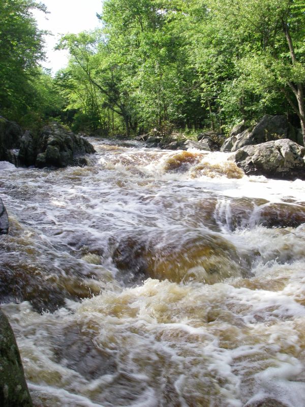
The listed run begins with a bit over a mile of small ledge and boulder bed (class I-II). The next 3+ miles are flat-water. Shortly down from Hwy 97 is a sweet dells. The river narrows considerably into a good sequence of drops (class III), followed by some trailing technical class II, then 1.5 miles flat to the takeout at the corner of Mann Road and River Road.

At our listed put-in the drainage area is about 63 square miles (as calculated by USGS StreamStats 4.0 Beta software). At our listed take-out the area is about 82.7 square miles (about a 31% increase).
For those wanting the shortest trip, with just the best action (the dells is just a short bit downstream), Hwy.97 makes a good put-in.
USGS lists a sampling site here with drainage area of 78 square miles.
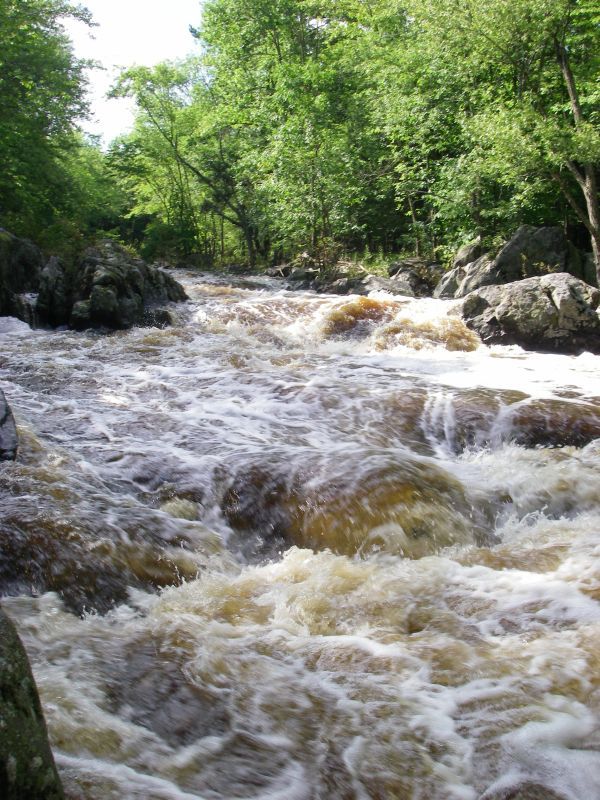
A great little dells provides plenty of action in a short distance.
Copy/paste the following link for a fine video of a run of this dells at 1650 cfs:
https://www.youtube.com/embed/T8yNV0m5SzMFlow is split by an island. The right side (at least as reported in 2010) is blocked, so go left.
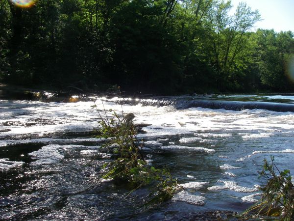
A low-water bridge (driveway) passes through the river at this point. At boatable flows, this will essentially act as a low-head dam. Safest passage will be far left.
Apr 10, 2014
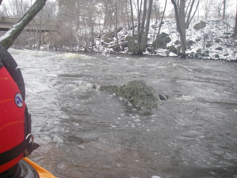
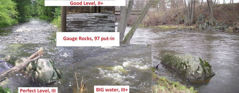
USGS gauge is now inactive as of December of 2013. The best visual is a rock near the hwy 97 put in down a path off hwy T just downstream of the 97 bridge. See photo in photo section.
Sep 13, 2013
I put a video on youtube of the main drop at 1650cfs, see the photo of the gauge rock for a visual.
http://youtu.be/T8yNV0m5SzM
Mar 12, 2013
great level for whole run